Plizio Visual Lab
Atlantic coastal waters
Weather…
Water temperature…
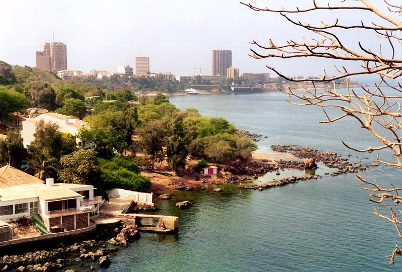
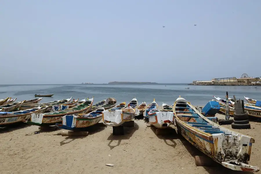
The Atlantic coastal waters of Senegal stretch over 700 kilometers and rank among the most productive fishing grounds in the world. This extraordinary biological richness is driven by the phenomenon of coastal upwelling, where cold, nutrient-rich deep waters rise to the surface, triggering massive phytoplankton blooms. The marine zone hosts an immense variety of species, ranging from small pelagic fish like sardinella to large predators such as tuna and swordfish. Additionally, these waters are crucial migratory corridors for sea turtles, dolphins, and various whale species. For Senegal, the sea is of paramount economic importance, as the fishing sector provides livelihoods for hundreds of thousands of people and is the nation's primary source of foreign exchange. However, the zone is increasingly threatened by overfishing from international industrial fleets and the emergence of offshore gas exploration. Protecting marine ecosystems has become a national priority to ensure the long-term food security of the population.
Explore on the map
How well do you know Senegal?
Find cities, landscapes and regions in 10 varied challenges on the interactive map.
Your journey, your memory
A postcard from Atlantic coastal waters
Turn your own photo into a personal postcard with a local stamp. Free and no sign-up required.
Create a postcardBest time to visit & climate
The most pleasant time to visit is Feb–Apr.
| Jan | Feb | Mar | Apr | May | Jun | Jul | Aug | Sep | Oct | Nov | Dec | |
|---|---|---|---|---|---|---|---|---|---|---|---|---|
| Avg °C | 22 | 21 | 21 | 21 | 23 | 25 | 27 | 27 | 28 | 28 | 27 | 25 |
| Rain mm | 13 | 10 | 5 | 4 | 3 | 15 | 89 | 188 | 161 | 53 | 14 | 17 |
📋 Practical info
Geography
Facts
- Senegal maintains an Exclusive Economic Zone of 212,000 km².
- The upwelling phenomenon is most intense during winter and spring.
- Home to over 500 different fish species in its coastal waters.
- Sardinella accounts for about 70% of the total artisanal fish catch.
- Critical migratory route for humpback whales and pilot whales.
- The coast comprises four major marine ecoregions from the delta to Casamance.
Explore nearby
Notable places around
Route planner — Car & Motorhome
Where do you start? We build the route here, with stops and country notes along the way.
© OpenStreetMap contributors · OpenRouteService
Sights nearby
Frequently asked questions
How is the current in the Atlantic?
Can you watch whales?
Best time for the beach?
Are there beaches with lifeguards?
Is the water clean?
Atlantic coastal waters: where is it located?
Atlantic coastal waters: when is the best time to visit?
Atlantic coastal waters: why is it worth visiting?

Nearby cities
History & landmarks

More places