Plizio Visual Lab
Mount Vaa-o-Fonoti

Weather…
Water temperature…
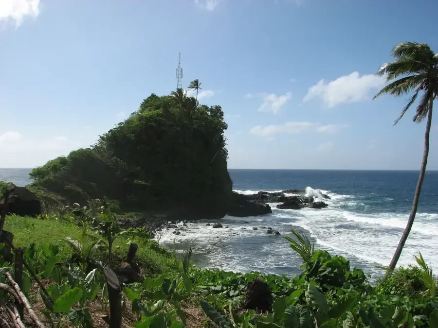
Mount Vaa-o-Fonoti is a prominent mountain and a significant conservation area in eastern Upolu, situated above the pretty Fagaloa Bay. The mountain is part of a rugged mountain range formed by intense volcanic activity and subsequent erosion over millions of years. The area is known as the 'Vaa-o-Fonoti Conservation Area' and encompasses one of Samoa's steepest and most inaccessible forested regions, housing an extraordinary diversity of endemic plants and animals. Historically, the region served as a sanctuary and defense point for local clans, reflected in numerous legends and cultural traditions. The combination of deep valleys, sharp ridges, and spectacular waterfalls makes Mount Vaa-o-Fonoti one of the most scenically striking areas of the archipelago. It plays a central role in the water supply for surrounding villages and is listed as a UNESCO World Heritage tentative site, highlighting its global ecological importance.
Explore on the map
How well do you know Samoa?
Find cities, landscapes and regions in 10 varied challenges on the interactive map.
Your journey, your memory
A postcard from Mount Vaa-o-Fonoti
Turn your own photo into a personal postcard with a local stamp. Free and no sign-up required.
Create a postcard- Location: Samoa
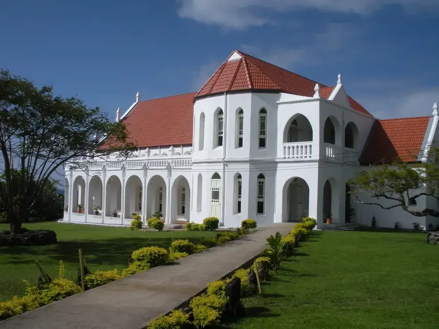
- Highlights: Lona Church · Lona Congregational Christian Church · Lona Church of Jesus Christ of Latter-day Saints
- Nearby: Lotofaga Uta (5 km)
Best time to visit & climate
The most pleasant time to visit is Jul–Sep.
| Jan | Feb | Mar | Apr | May | Jun | Jul | Aug | Sep | Oct | Nov | Dec | |
|---|---|---|---|---|---|---|---|---|---|---|---|---|
| Avg °C | 28 | 28 | 28 | 28 | 28 | 28 | 27 | 27 | 27 | 28 | 28 | 28 |
| Rain mm | 269 | 247 | 175 | 181 | 135 | 88 | 78 | 57 | 91 | 146 | 224 | 240 |
📋 Practical info
Geography
Facts
- The Vaa-o-Fonoti Conservation Area was officially established in 1991.
- The area is on the tentative list for UNESCO World Heritage status.
- It houses nearly all of Samoa's endemic land bird species.
- The region encompasses an area of approximately 4,000 hectares.
- The name refers to the 'War Canoe of Fonoti', a historical ruler.
- Fagaloa Bay at the foot of the mountain is one of the deepest fjords in the Pacific.
Explore nearby
Notable places around

Route planner — Car & Motorhome
Where do you start? We build the route here, with stops and country notes along the way.
© OpenStreetMap contributors · OpenRouteService
Sights in the town Mount Vaa-o-Fonoti (4)
Lona Church of Jesus Christ of Latter-day Saints
Church of Jesus Christ of Latter-day Saints in Lona on Fagaloa Bay.
Sights nearby
Frequently asked questions
Is Mount Vaa-o-Fonoti family friendly?
Are there dangerous weather conditions?
Are there restrooms on the mountain?
How long is the ascent?
Is a guide needed for Mount Vaa-o-Fonoti?
Mount Vaa-o-Fonoti: where is it located?
Mount Vaa-o-Fonoti: what is there to see?
Mount Vaa-o-Fonoti: when is the best time to visit?
Mount Vaa-o-Fonoti: why is it worth visiting?

Nearby cities