Plizio Visual Lab
Muhabura

Weather…
Water temperature…
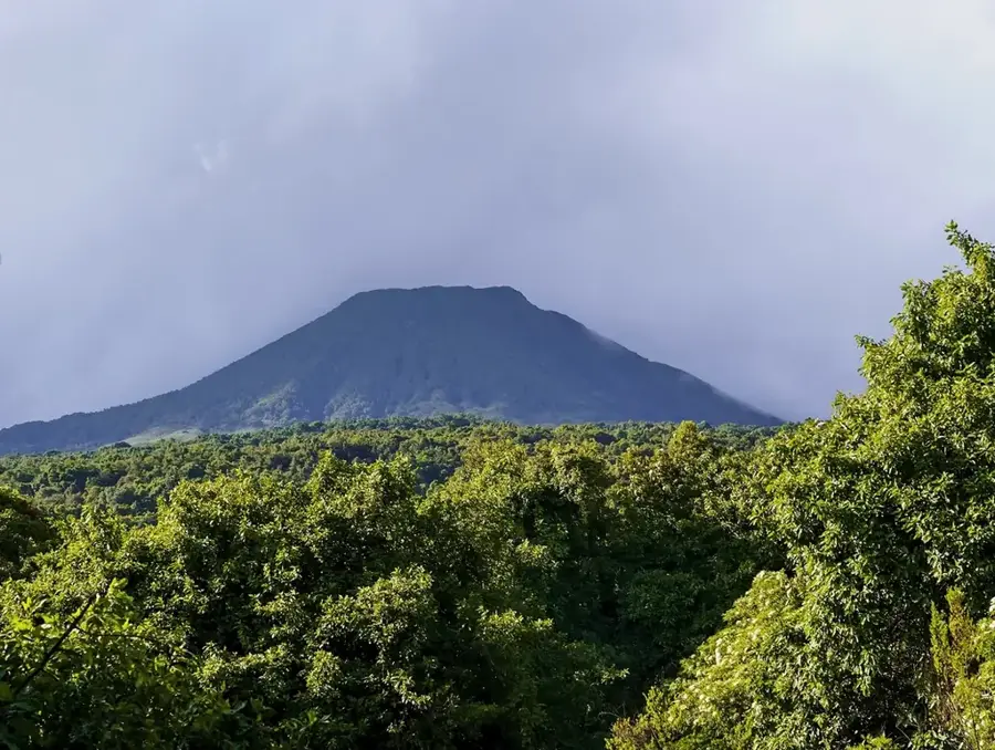
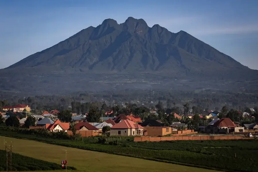
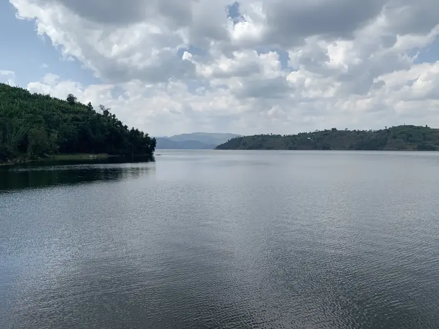
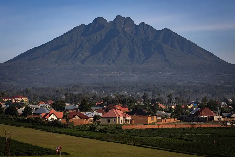
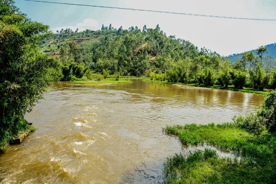
Mount Muhabura, also known as Muhavura, is an extinct volcano in the Virunga Mountains, straddling the border between Rwanda and Uganda. At an elevation of 4,127 meters, it is the third-highest peak in the range and marks the easternmost point of Rwanda's Volcanoes National Park. Its name in Kinyarwanda translates to 'The Guide,' reflecting its historical role as a prominent landmark for travelers navigating the region. Geologically, the mountain features steep slopes composed of basaltic lava and scoria. At its summit lies a small, permanent crater lake approximately 40 meters in diameter, which is a significant feature for hikers reaching the peak. The mountain's ecosystem transitions from bamboo forests to afro-alpine moorlands, providing a habitat for unique flora such as giant lobelias. The summit provides panoramic views of the entire Virunga chain and the scenic twin lakes, Burera and Ruhondo, located in the valley below.
- Location: Rwanda
- Top sights: Mount Muhabura · Mount Gahinga
- Nearby: Kinigi (10 km)
Best time to visit & climate
The most pleasant time to visit is Jun–Aug.
| Jan | Feb | Mar | Apr | May | Jun | Jul | Aug | Sep | Oct | Nov | Dec | |
|---|---|---|---|---|---|---|---|---|---|---|---|---|
| Avg °C | 17 | 18 | 18 | 18 | 17 | 17 | 17 | 17 | 18 | 17 | 17 | 17 |
| Rain mm | 127 | 127 | 206 | 183 | 142 | 74 | 45 | 92 | 139 | 190 | 218 | 154 |
📋 Practical info
Geography
Facts
- Peak elevation is 4,127 meters above sea level.
- The summit crater lake is approximately 40 meters wide.
- One of the eight major volcanoes in the Virunga Mountains range.
- The name Muhabura means 'The Guide' in the Kinyarwanda language.
- Forms a natural border between Rwanda and Uganda.
- Home to high-altitude vegetation like giant senecios and lobelias.
Explore nearby
Notable places around
Route planner — Car & Motorhome
Where do you start? We build the route here, with stops and country notes along the way.
© OpenStreetMap contributors · OpenRouteService
Sights in the town Muhabura (2)
Sights nearby
Frequently asked questions
Is the climb to Muhabura strenuous?
What is the summit highlight?
Do I need to book in advance?
How long does the tour take?
Is there shade on the way?
Muhabura: where is it located?
Muhabura: what is there to see?
Muhabura: when is the best time to visit?
Muhabura: why is it worth visiting?

Nearby cities
History & landmarks

Nature

More places