Plizio Visual Lab
Yenisei River
Weather…
Water temperature…
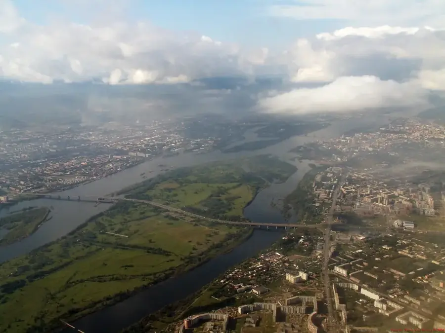
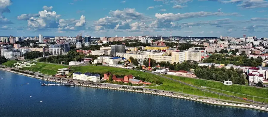
The Yenisei River, frequently exalted as the most powerful of all the great Siberian waterways, effectively slices the Russian continent in two, forming the definitive natural and geographical boundary between the Western Siberian Plain and the Central Siberian Plateau. Its immense journey begins in the mountainous northern reaches of Mongolia, from where it surges relentlessly northwards for thousands of kilometers before finally emptying into the frigid Arctic Ocean. The river transports staggering volumes of water, a characteristic that prompted the construction of several of the world's largest and most powerful hydroelectric dams along its course, such as the Sayano-Shushenskaya and Krasnoyarsk dams. While these colossal reservoirs have drastically altered the river's natural flow, they generate energy for the entirety of Siberia. Particularly in its upper reaches, the Yenisei dramatically carves its way through deep, canyon-like gorges before widening significantly onto the plains, assuming a majestic calm.
Explore on the map
How well do you know Russia?
Find cities, landscapes and regions in 10 varied challenges on the interactive map.
Your journey, your memory
A postcard from Yenisei River
Turn your own photo into a personal postcard with a local stamp. Free and no sign-up required.
Create a postcardBest time to visit & climate
The most pleasant time to visit is Jun–Aug.
| Jan | Feb | Mar | Apr | May | Jun | Jul | Aug | Sep | Oct | Nov | Dec | |
|---|---|---|---|---|---|---|---|---|---|---|---|---|
| Avg °C | -26 | -24 | -14 | -7 | 0 | 13 | 16 | 12 | 5 | -6 | -20 | -24 |
| Rain mm | 43 | 36 | 58 | 65 | 87 | 94 | 90 | 116 | 102 | 98 | 62 | 51 |
📋 Practical info
Geography
Facts
- Maximum depth reaches up to 24 meters.
- Host to some of the world's largest hydroelectric plants.
- Its upper course (Angara) flows from Lake Baikal.
- The river is ice-free for only 4-5 months per year.
Route planner — Car & Motorhome
Where do you start? We build the route here, with stops and country notes along the way.
© OpenStreetMap contributors · OpenRouteService
Sights nearby
Frequently asked questions
What is the current of the Yenisei like?
Can the river be used for tourism?
When is the season?
Are there sights on the bank?
What is the climate like at the river?
Yenisei River: where is it located?
Yenisei River: when is the best time to visit?
Yenisei River: why is it worth visiting?

Nearby cities