Plizio Visual Lab
Verkhoyansk Range
Weather…
Water temperature…
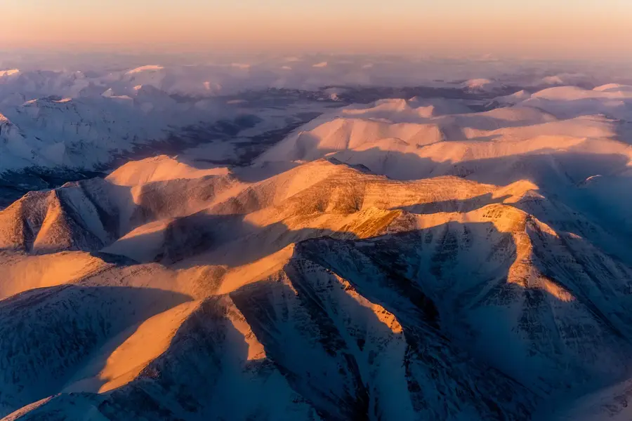
The Verkhoyansk Range, sweeping in a majestic arc across eastern Siberia, serves as a formidable geographical and climatic barrier. During the prolonged and brutal winter months, dense, frigid air masses settle into its deep, shadowed valleys, cementing the region's reputation as one of the Northern Hemisphere's most extreme Poles of Cold. This profoundly isolated and rugged landscape is heavily scarred by deep permafrost and cryogenic weathering, resulting in steep gorges and extensive boulder fields. While the harsh climate permits only a resilient tundra vegetation to thrive during the brief summer, the mountains are geologically significant, harboring vast reserves of coal, silver, and other precious minerals. Despite these riches, the severe environmental conditions keep the area pristine and largely inaccessible.
Explore on the map
How well do you know Russia?
Find cities, landscapes and regions in 10 varied challenges on the interactive map.
Your journey, your memory
A postcard from Verkhoyansk Range
Turn your own photo into a personal postcard with a local stamp. Free and no sign-up required.
Create a postcardBest time to visit & climate
The most pleasant time to visit is Jun–Aug.
| Jan | Feb | Mar | Apr | May | Jun | Jul | Aug | Sep | Oct | Nov | Dec | |
|---|---|---|---|---|---|---|---|---|---|---|---|---|
| Avg °C | -33 | -33 | -24 | -14 | -4 | 7 | 11 | 7 | -2 | -17 | -27 | -32 |
| Rain mm | 7 | 6 | 11 | 28 | 71 | 108 | 112 | 82 | 58 | 23 | 13 | 7 |
📋 Practical info
Geography
Facts
- Length of about 1100 km
- Highest point is 2409 m
- Pole of Cold for the inhabited world
- Rich in coal and precious metals
Route planner — Car & Motorhome
Where do you start? We build the route here, with stops and country notes along the way.
© OpenStreetMap contributors · OpenRouteService
Sights nearby
Frequently asked questions
What is the Verkhoyansk Range?
How cold does it get there?
Is the region developed for tourism?
When is a visit worthwhile?
What equipment is needed?
Verkhoyansk Range: where is it located?
Verkhoyansk Range: when is the best time to visit?
Verkhoyansk Range: why is it worth visiting?

Nearby cities