Plizio Visual Lab
Sikhote-Alin Pass
Weather…
Water temperature…
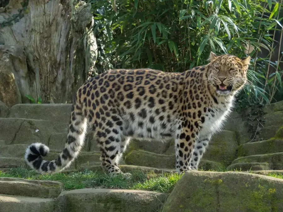
The Sikhote-Alin Pass is a strategic point within the Sikhote-Alin mountain range in the Russian Far East, located in Primorsky Krai. Extending 1,200 kilometers along the Sea of Japan, this mountain range acts as a primary drainage divide between the short rivers flowing into the sea and the expansive Amur river basin. The relief of the pass is characterized by rugged terrain, steep slopes, and dense forests that transition from boreal taiga to alpine tundra at higher elevations. The region gained international fame through the expeditions of Vladimir Arsenyev and his guide Dersu Uzala in the early 20th century. A significant geological and astronomical event occurred here in 1947, when a massive iron meteorite broke apart in the atmosphere and fell onto the mountainside, creating over 100 craters. Now a UNESCO World Heritage site, the area is crucial for the preservation of the endangered Siberian tiger and represents a unique ecological crossroads where northern and southern species coexist.
Explore on the map
How well do you know Russia?
Find cities, landscapes and regions in 10 varied challenges on the interactive map.
Your journey, your memory
A postcard from Sikhote-Alin Pass
Turn your own photo into a personal postcard with a local stamp. Free and no sign-up required.
Create a postcardBest time to visit & climate
The most pleasant time to visit is Jun–Aug.
| Jan | Feb | Mar | Apr | May | Jun | Jul | Aug | Sep | Oct | Nov | Dec | |
|---|---|---|---|---|---|---|---|---|---|---|---|---|
| Avg °C | -20 | -16 | -8 | 2 | 9 | 14 | 18 | 18 | 12 | 3 | -7 | -18 |
| Rain mm | 17 | 19 | 31 | 48 | 83 | 97 | 125 | 118 | 74 | 63 | 38 | 25 |
📋 Practical info
Geography
Facts
- The highest peak of the Sikhote-Alin range is Mount Anik, reaching 1,933 meters.
- A 70-ton iron meteorite crashed into the region on February 12, 1947.
- The entire mountain range stretches for approximately 1,200 kilometers.
- The Central Sikhote-Alin was designated a UNESCO World Heritage site in 2001.
- The area is home to roughly 90% of the world's Siberian tiger population.
- Winter snow accumulation at the pass can frequently exceed 2 meters in depth.
Route planner — Car & Motorhome
Where do you start? We build the route here, with stops and country notes along the way.
© OpenStreetMap contributors · OpenRouteService
Sights nearby
Frequently asked questions
How passable is the mountain pass road?
Can one camp wild there?
Are there gas stations at the pass?
What time is ideal?
Do I need a special visa?
Sikhote-Alin Pass: where is it located?
Sikhote-Alin Pass: when is the best time to visit?
Sikhote-Alin Pass: why is it worth visiting?

Nearby cities