Plizio Visual Lab
Lake Baskunchak
ℹ️Practical info — Lake Baskunchak
▾
🌤 Weather — 5 days
📍 Nearby
Sights nearby
Water temperature…
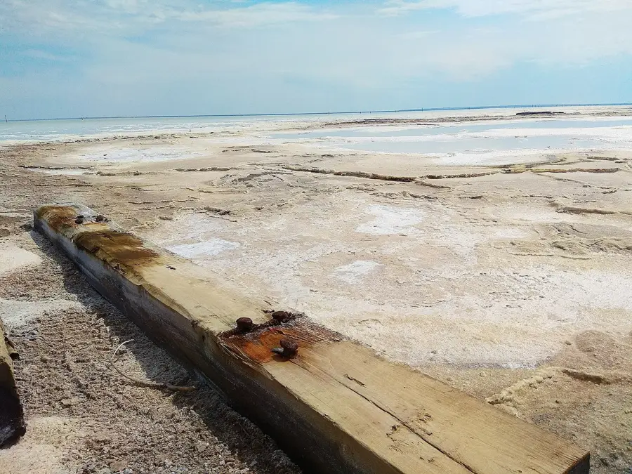
Lake Baskunchak is often called 'Russia's Salt Shaker' due to its status as the country's primary source of edible salt. Located in the Astrakhan region's Caspian Depression, it is one of the saltiest lakes in the world. The landscape is a stark, brilliant white expanse of salt crusts and crystals, punctuated by industrial machinery that extracts nearly 80% of Russia's salt supply. Similar to the Dead Sea, the water's density allows swimmers to float effortlessly on the surface. Adjacent to the lake rises Mount Greater Bogdo, the highest point in the Caspian Depression. This mountain is unique for its reddish sandstone cliffs and the fact that it rises by about 1 millimeter every year due to a salt dome pushing up from below. To the local Kalmyk people, the mountain is sacred. Its 'Singing Rocks' are hollowed-out sandstone formations that create melodic sounds when the wind blows. The view from the top overlooking the white lake is truly unforgettable. The best time to visit is during late spring (April and May) when wild tulips bloom in the surrounding steppe. Summers are brutally hot, often exceeding 45°C. The lake's brine and mud are used for medicinal baths, attracting health-conscious travelers. Most visitors travel from Volgograd or Astrakhan to the settlement of Nizhny Baskunchak, where local shuttles provide transport to the lake's accessible areas.
Explore on the map
How well do you know Russia?
Find cities, landscapes and regions in 10 varied challenges on the interactive map.
Your journey, your memory
A postcard from Lake Baskunchak
Turn your own photo into a personal postcard with a local stamp. Free and no sign-up required.
Create a postcard- Location: Russia
- Population: ~3.153
Geography
Facts
- Produces 80% of Russia's edible salt
- Water density allows people to float
- Mount Bogdo is the region's highest point
- The lake is 21 meters below sea level
- Home to wild tulips blooming in spring
- Medicinal mud and brine are used locally
- Mount Bogdo grows by about 1 mm per year
- 'Singing Rocks' created by wind erosion
Route planner — Car & Motorhome
Where do you start? We build the route here, with stops and country notes along the way.
© OpenStreetMap contributors · OpenRouteService
Frequently asked questions
Lake Baskunchak: where is it located?
Lake Baskunchak: why is it worth visiting?

Nearby cities