Plizio Visual Lab
Amantaní Island
Weather…
Water temperature…
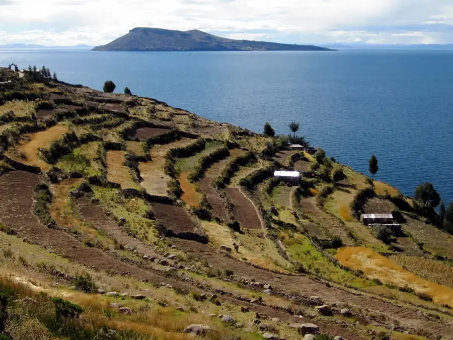
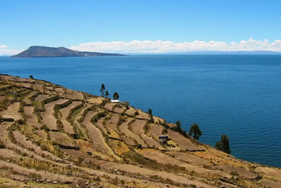
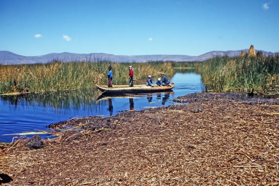
Amantaní Island, the largest island on the Peruvian side of Lake Titicaca, is a peaceful sanctuary of traditional Andean culture and rugged beauty. Known as the 'Island of the Kantuta' (Peru's national flower), it is home to several Quechua-speaking communities who live primarily as farmers and weavers. The island is dominated by two high peaks, Pachatata (Father Earth) and Pachamama (Mother Earth), which are topped with ancient stone sanctuaries. Every year, ceremonies are held at these peaks to ensure a good harvest. Like its neighbor Taquile, Amantaní has no cars or hotels, and visitors are welcomed into local homes for a true cultural exchange. As the sun sets over the lake, the island's isolation and deep connection to the earth create a sense of profound serenity that is rarely found in the modern world.
- Location: Peru
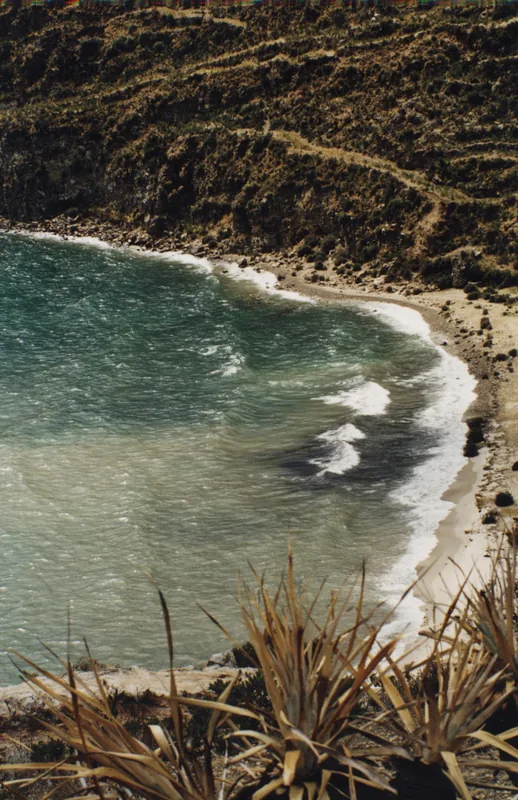
- Top sights: Pachamama · Cerro Carus · Playa Ccotos
Best time to visit & climate
The most pleasant time to visit is May, Sep, Nov.
| Jan | Feb | Mar | Apr | May | Jun | Jul | Aug | Sep | Oct | Nov | Dec | |
|---|---|---|---|---|---|---|---|---|---|---|---|---|
| Avg °C | 9 | 9 | 9 | 9 | 8 | 7 | 7 | 7 | 8 | 9 | 10 | 9 |
| Rain mm | 120 | 123 | 86 | 45 | 21 | 11 | 12 | 12 | 25 | 53 | 46 | 105 |
📋 Practical info
Geography
Facts
- The largest island in Lake Titicaca, with a population of around 4,000 people.
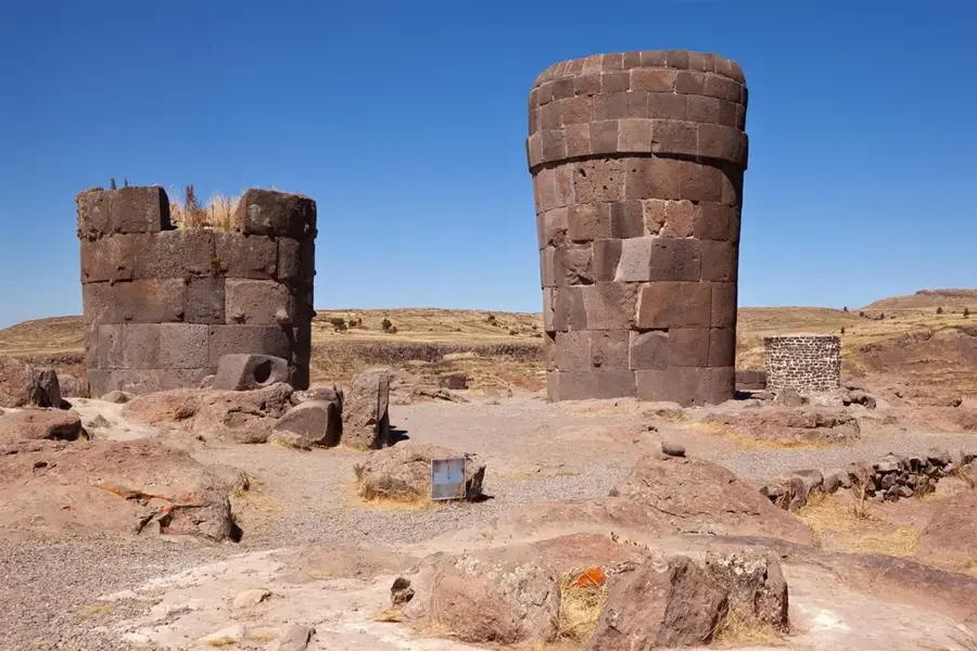
- Home to the Pachatata and Pachamama sanctuaries, located on the island's two highest points.
- Visitors stay in family homes, participating in daily life and traditional evening dances.
- The island is famous for its stone carvings and high-quality woven textiles.
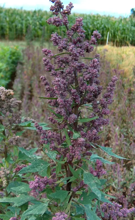
- Residents primarily grow potatoes, quinoa, and oca on ancient Inca terraces.
- The Kantuta flower, which grows abundantly here, is the national flower of Peru.
- The island is divided into ten traditional communities that manage their own resources.
- The views from the top of the island encompass the entire Peruvian and Bolivian sides of the lake.
Explore nearby
Notable places around
Route planner — Car & Motorhome
Where do you start? We build the route here, with stops and country notes along the way.
© OpenStreetMap contributors · OpenRouteService
Sights in the town Amantaní Island (4)
Sights nearby
Frequently asked questions
What is the appeal of an Amantaní trip?
What is the journey like?
Are there archaeological sites there?
What should you pack for Amantaní?
What is the comfort level on the island?
Amantaní Island: where is it located?
Amantaní Island: what is there to see?
Amantaní Island: when is the best time to visit?
Amantaní Island: why is it worth visiting?

History & landmarks
Nature
More places