Plizio Visual Lab
Paracas Peninsula
Weather…
Water temperature…
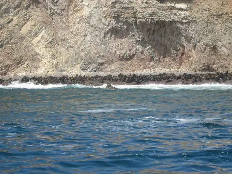
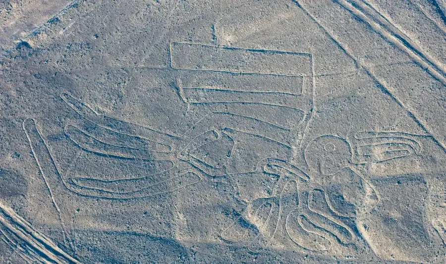
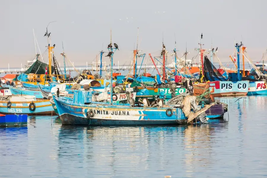
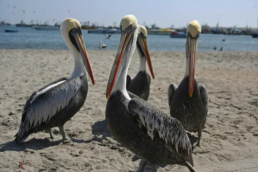
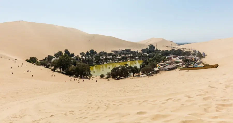
The Paracas Peninsula in the Ica region is one of Peru's most significant marine protected areas and a place of extraordinary natural beauty. Here, the barren coastal desert meets the Pacific Ocean directly, resulting in dramatic landscapes like the famous Red Beach. A standout archaeological mystery is the 'Candelabro', a massive geoglyph etched into a hillside of the peninsula, whose origin and purpose remain debated. Historically, the peninsula was the heart of the Paracas culture (approx. 800 BC to 200 AD), known for their advanced textiles and the practice of cranial deformation. The Paracas National Reserve protects immense biodiversity, including sea lions, Humboldt penguins, and countless seabirds. The nutrient-rich waters of the Humboldt Current support one of the world's most productive marine ecosystems here. Tourists often visit the peninsula as a starting point for boat trips to the nearby Ballestas Islands.
- Location: Peru
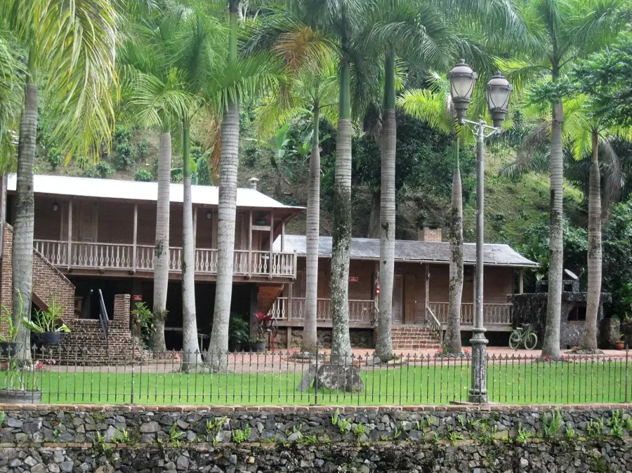
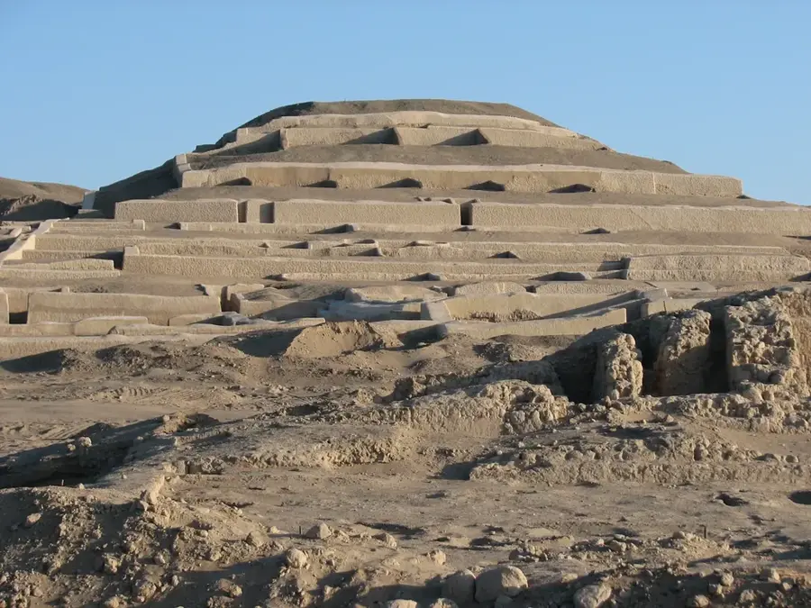
- Top sights: Cerro Colorado · Wari Kayan · Museo de Sitio de la Cultura Paracas
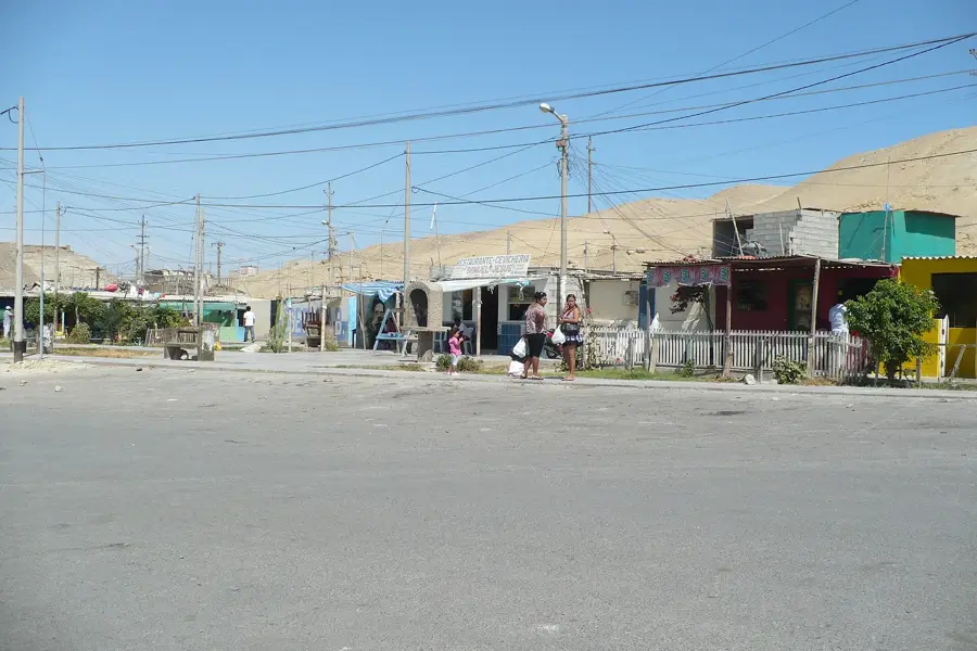
- Nearby: Pisco (8 km)
Best time to visit & climate
The most pleasant time to visit is Apr, May, Dec.
| Jan | Feb | Mar | Apr | May | Jun | Jul | Aug | Sep | Oct | Nov | Dec | |
|---|---|---|---|---|---|---|---|---|---|---|---|---|
| Avg °C | 23 | 24 | 24 | 22 | 20 | 18 | 17 | 17 | 18 | 19 | 20 | 21 |
| Rain mm | 4 | 4 | 3 | 1 | 2 | 1 | 2 | 1 | 2 | 2 | 3 | 4 |
📋 Practical info
Geography
Facts
- The Paracas National Reserve was established in 1975.
- The 'Candelabro' geoglyph measures approximately 180 meters in length.
- The Paracas culture flourished between 800 BC and 200 AD.
- More than 200 different species of birds have been recorded in the area.
- The peninsula is located about 260 kilometers south of Lima.
- The red sand of 'Playa Roja' comes from the erosion of nearby granodiorite rocks.
Explore nearby
Notable places around
Route planner — Car & Motorhome
Where do you start? We build the route here, with stops and country notes along the way.
© OpenStreetMap contributors · OpenRouteService
Sights in the town Paracas Peninsula (11)
Sights nearby
Frequently asked questions
What is the highlight in Paracas?
Can you see animals?
Are there beaches?
How to get from Lima?
Best time to visit?
Paracas Peninsula: where is it located?
Paracas Peninsula: what is there to see?
Paracas Peninsula: when is the best time to visit?
Paracas Peninsula: why is it worth visiting?

Nearby cities
History & landmarks

Nature
More places