Plizio Visual Lab
Stone Path of Ngerchelchuus
Weather…
Water temperature…
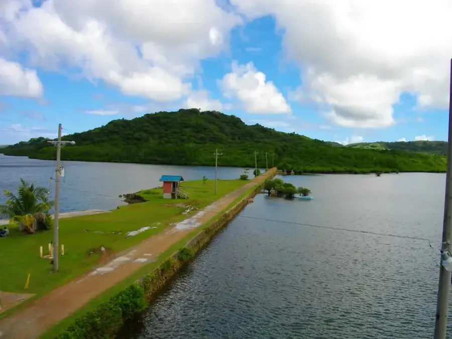
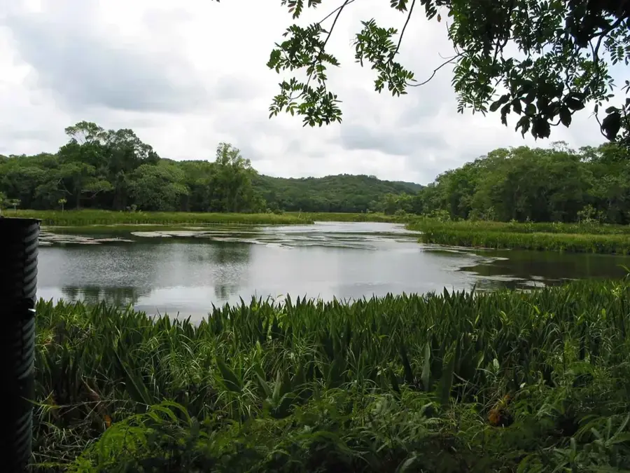
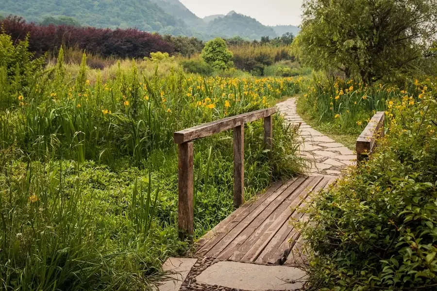
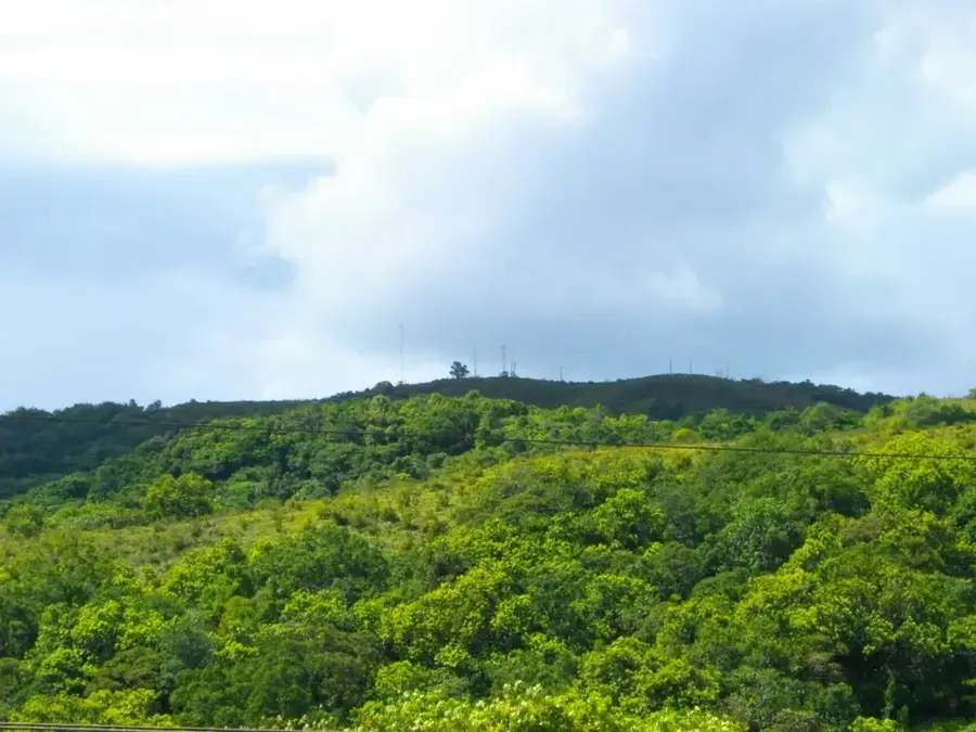
The Stone Path of Ngerchelchuus is a remarkable example of ancient Palauan engineering, winding through the dense tropical forests of Babeldaob Island. Meticulously constructed using flat-carved basalt stones and limestone slabs, this paved path was a key segment of a vast network that once connected powerful village chiefdoms across the island. It runs near Mount Ngerchelchuus, the highest peak in Palau, providing a vital link between the interior and the coast. These paths were more than just infrastructure; they facilitated trade, cultural exchange, and diplomatic missions between clans. The stone paving was a practical solution to the island's high rainfall, preventing erosion and ensuring the path remained traversable year-round. Today, as hikers explore the moss-covered stones deep in the jungle, the path serves as a silent witness to the sophisticated social organization and environmental adaptation of the Palauan people long before European contact.
Explore on the map
How well do you know Palau?
Find cities, landscapes and regions in 10 varied challenges on the interactive map.
Your journey, your memory
A postcard from Stone Path of Ngerchelchuus
Turn your own photo into a personal postcard with a local stamp. Free and no sign-up required.
Create a postcard- Location: Palau
- Nearby: Ngiwal (8 km)
Best time to visit & climate
The most pleasant time to visit is Feb–Apr.
| Jan | Feb | Mar | Apr | May | Jun | Jul | Aug | Sep | Oct | Nov | Dec | |
|---|---|---|---|---|---|---|---|---|---|---|---|---|
| Avg °C | 28 | 28 | 28 | 28 | 28 | 28 | 28 | 28 | 28 | 28 | 28 | 28 |
| Rain mm | 216 | 197 | 183 | 177 | 279 | 331 | 375 | 303 | 284 | 236 | 239 | 246 |
📋 Practical info
Geography
Facts
- The path leads toward Mount Ngerchelchuus, the highest point at 242m.
- The walkways are paved with heavy basalt blocks.
- They originate from Palau's pre-colonial era.
- The stone paths are often more than one meter wide.
- Historical stone resting places are located along the route.
- This path system connects the states of Ngardmau and Ngaremlengui.
Explore nearby
Notable places around
Route planner — Car & Motorhome
Where do you start? We build the route here, with stops and country notes along the way.
© OpenStreetMap contributors · OpenRouteService
Sights in the town Stone Path of Ngerchelchuus (1)
Sights nearby
Frequently asked questions
What is the Ngerchelchuus stone path?
Is the path well-preserved?
Can you hike it?
What is the best season?
Is there signage?
Stone Path of Ngerchelchuus: where is it located?
Stone Path of Ngerchelchuus: when is the best time to visit?
Stone Path of Ngerchelchuus: why is it worth visiting?

Nearby cities


History & landmarks


Nature
More places