Plizio Visual Lab
Wadi Muaydin
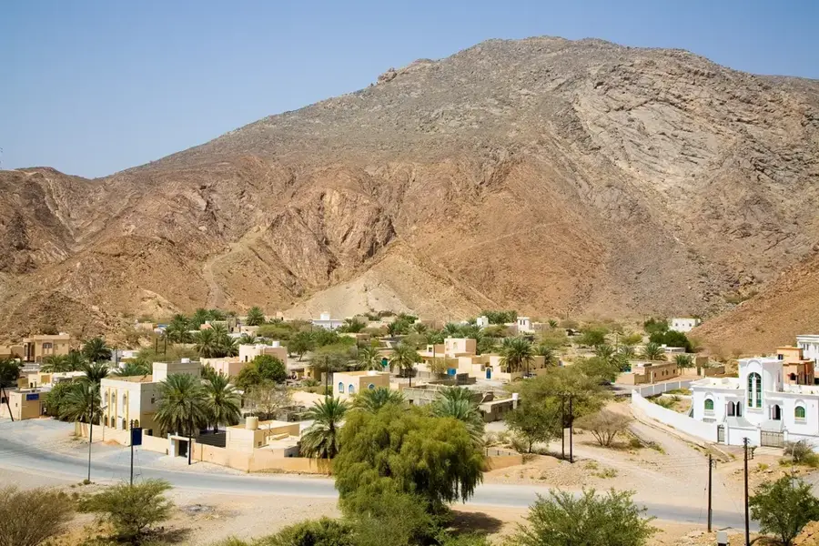
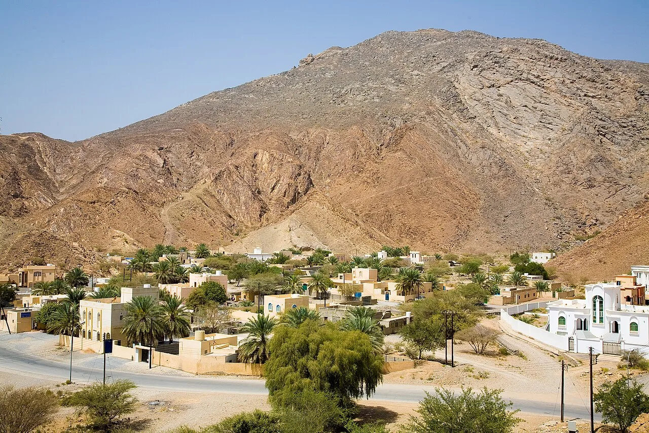
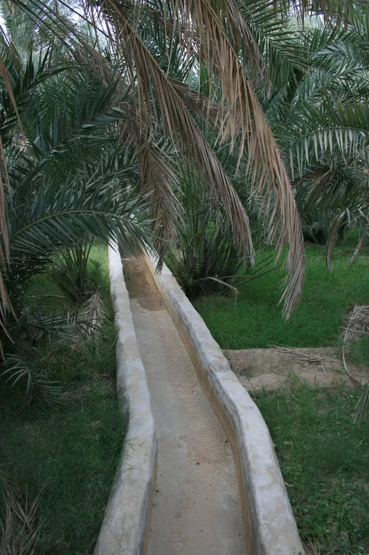
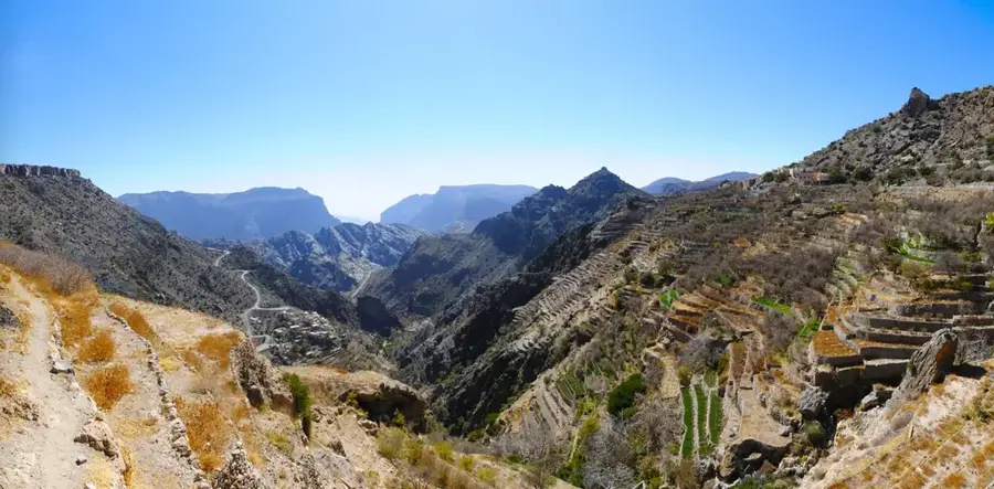
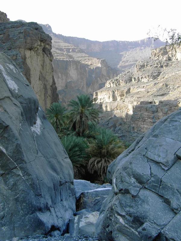
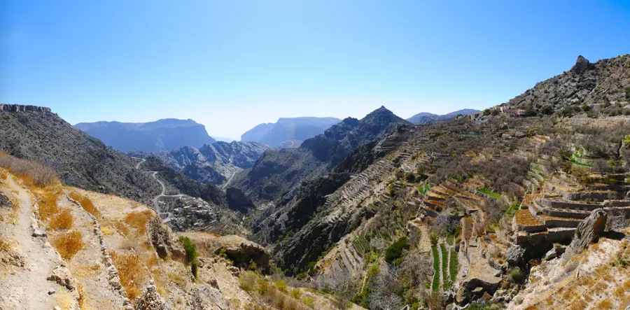
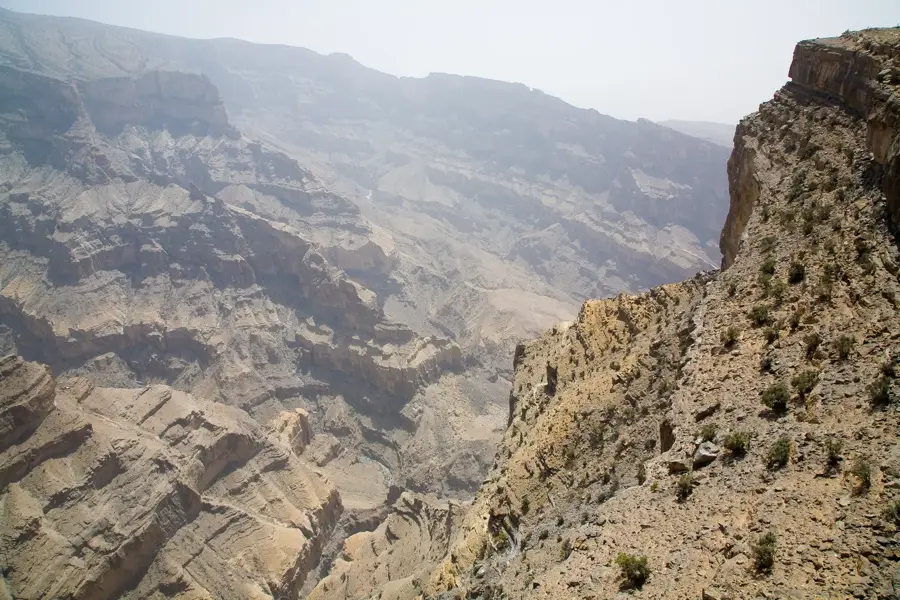
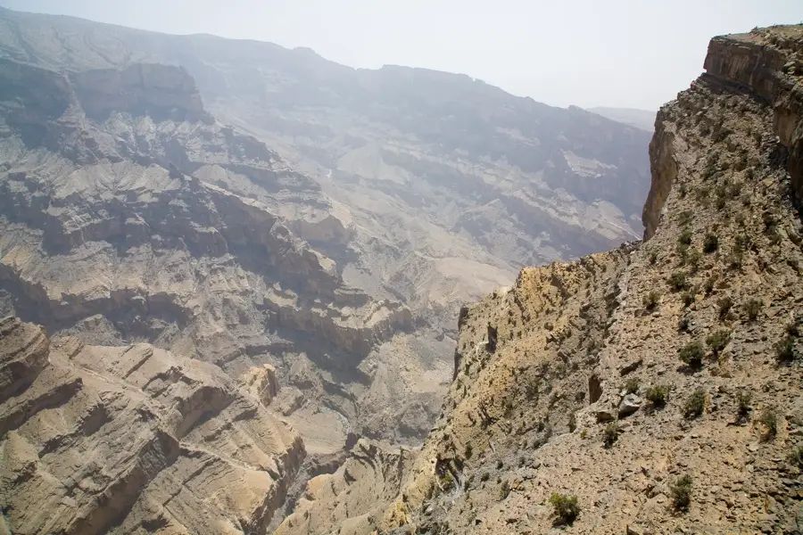
Wadi Muaydin is a spectacular canyon located at the southern base of Jebel Akhdar in the Ad Dakhiliyah Governorate, near the historic village of Birkat Al Mouz. The wadi serves as a natural gateway to the high plateau of the 'Green Mountain' and is renowned for its deep gorges and towering vertical walls of limestone and dolomite. A standout feature is the Falaj Al Khatmeen irrigation system, which diverts water from the wadi to the terraced gardens of Birkat Al Mouz, a UNESCO World Heritage site. Geologically, Wadi Muaydin provides a fascinating look at the tectonic forces that shaped the Al Hajar Mountains, with highly folded and deformed rock layers visible along the canyon floor. The wadi supports a variety of plant life, including wild olive trees and acacias that flourish in the shade of the steep cliffs. Historically, this gorge was a strategic passage for trade and defense, controlling access between the interior plains and the isolated mountain communities. Today, it is a premier destination for hiking and geological study, illustrating the profound link between traditional water management and rugged mountain terrain.
Explore on the map
How well do you know Oman?
Find cities, landscapes and regions in 10 varied challenges on the interactive map.
Your journey, your memory
A postcard from Wadi Muaydin
Turn your own photo into a personal postcard with a local stamp. Free and no sign-up required.
Create a postcard- Location: Oman
- Nearby: Bahla (38 km)
Best time to visit & climate
The most pleasant time to visit is Feb, Nov, Dec.
| Jan | Feb | Mar | Apr | May | Jun | Jul | Aug | Sep | Oct | Nov | Dec | |
|---|---|---|---|---|---|---|---|---|---|---|---|---|
| Avg °C | 18 | 20 | 24 | 29 | 33 | 35 | 35 | 34 | 32 | 28 | 23 | 19 |
| Rain mm | 12 | 12 | 23 | 16 | 9 | 12 | 16 | 13 | 7 | 7 | 9 | 8 |
📋 Practical info
Geography
Facts
- Acts as the main southern gateway to the Jebel Akhdar plateau
- Supplies the UNESCO World Heritage Falaj Al Khatmeen system
- Features a dramatic deep canyon with soaring limestone walls
- Located immediately north of the historic village of Birkat Al Mouz
- Displays clear examples of tectonic folding in the rock strata
- Provides a critical environmental corridor for mountain biodiversity
Explore nearby
Notable places around
Route planner — Car & Motorhome
Where do you start? We build the route here, with stops and country notes along the way.
© OpenStreetMap contributors · OpenRouteService
Sights nearby
Frequently asked questions
What does Wadi Muaydin offer?
Is access easy?
Can you hike there?
Am I allowed to enter the plantations?
When is it most beautiful?
Wadi Muaydin: where is it located?
Wadi Muaydin: when is the best time to visit?
Wadi Muaydin: why is it worth visiting?

Nearby cities

History & landmarks

More places