Plizio Visual Lab
Kirkenes

ℹ️Practical info — Kirkenes
▾
🌤 Weather — 5 days
📍 Nearby
Sights nearby
💡 Tips
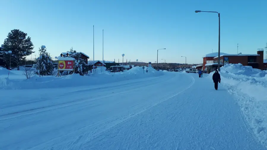
- Notice the street signs; many are in both Norwegian and Russian due to the nearby border.
- Book King Crab safaris well in advance, especially during the peak winter season.
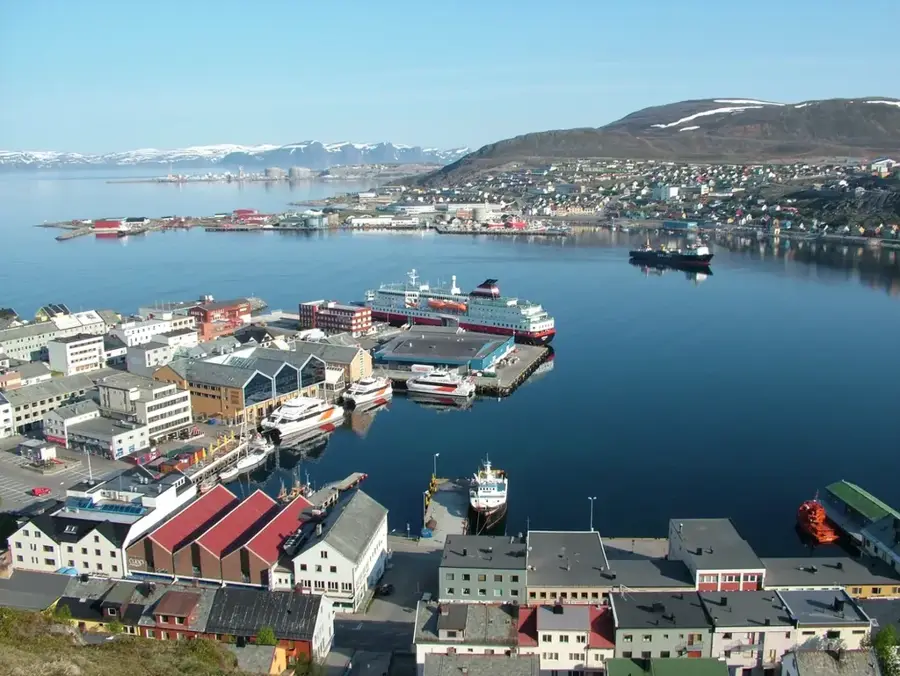
- The Hurtigruten ship arrives mid-morning, which is when the port area gets busiest.
- Wear spiked shoes in winter; the streets are often covered in very hard, slick ice.
🍽 Food
Best enjoyed fresh directly on a boat tour or at specialized harbor-side restaurants.
Try desserts made with this Arctic 'gold' in local cafes.
A hearty traditional Sami reindeer stew, first-rate for warming up in winter.
🛍 Shopping · 🧘 Quiet spots
Look for occasional outdoor markets selling warm knitted items and local crafts.
Great places to find Sami handicrafts and King Crab themed merchandise.
A quiet residential island area near the hospital offering lovely fjord views.
While the bunker is a museum, the wooded hillside above has calm walking paths.
Water temperature…
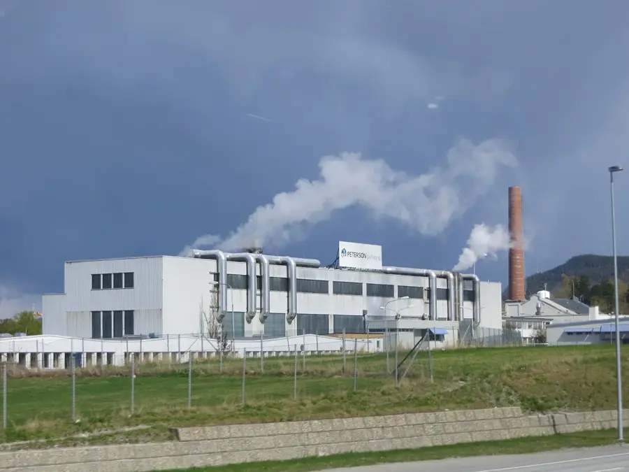
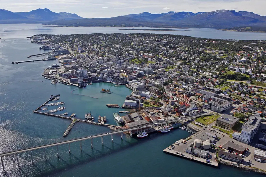
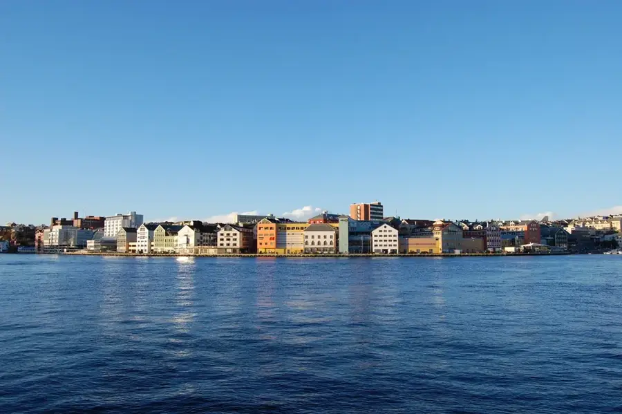
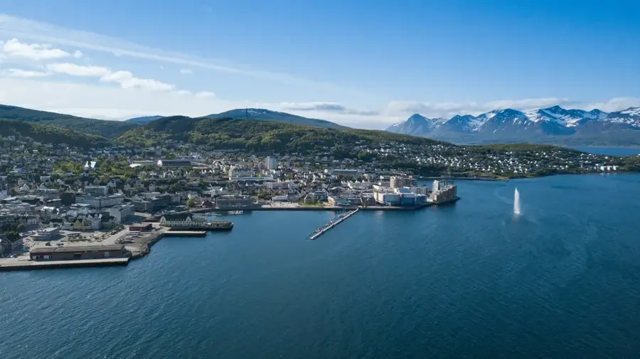
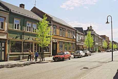
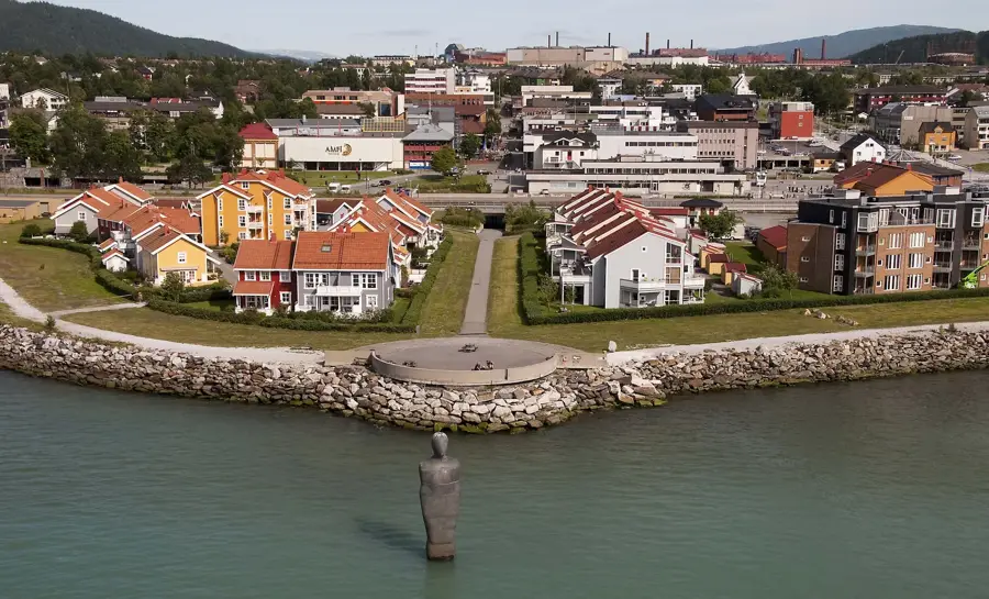
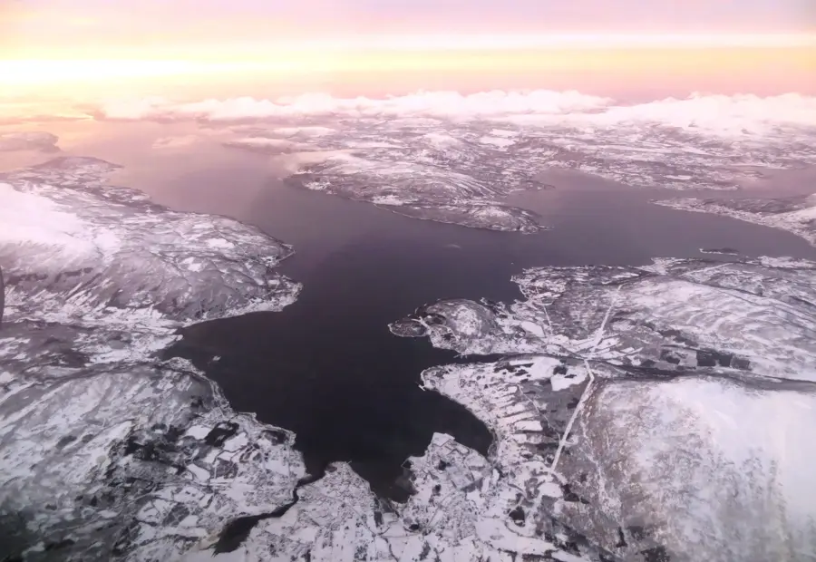
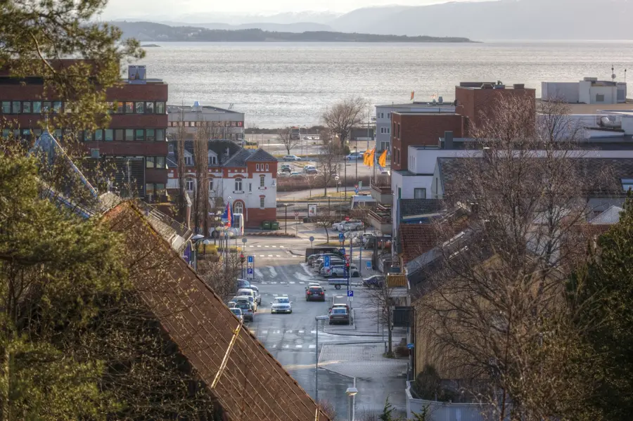
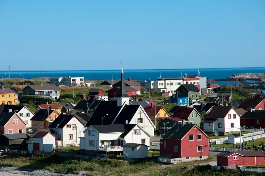
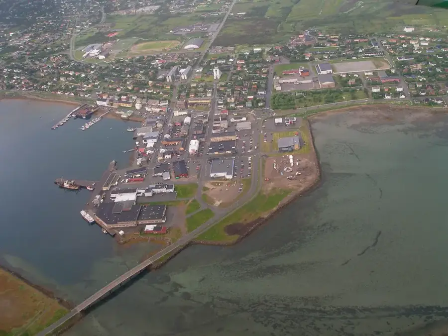
Kirkenes is located in the far northeastern corner of Norway within Sør-Varanger Municipality, near the borders of Russia and Finland. The town rose to prominence in the early 20th century due to iron ore mining by the Sydvaranger company, which drove the local economy for decades. Geographically situated on the Barents Sea, it serves as the final destination for the European route E6 and the Hurtigruten coastal ferry. During World War II, Kirkenes was a heavily contested site due to its strategic location and mineral resources, resulting in almost total destruction. It was rebuilt post-war as a modern service center and currently plays a pivotal role in cross-border cooperation within the Barents Region. The local culture is shaped by Norwegian, Sami, and Russian influences, reflected in multilingual street signs and diverse traditions. Tourism primarily focuses on Arctic experiences, including snow hotels and Northern Lights excursions.
Explore on the map
How well do you know Norway?
Find cities, landscapes and regions in 10 varied challenges on the interactive map.
Your journey, your memory
A postcard from Kirkenes
Turn your own photo into a personal postcard with a local stamp. Free and no sign-up required.
Create a postcard- Location: Norway
- Highlights: Pikevatnet - Neitiyarvi · Stuorra Juranjávri · Guhkesjávri
- Nearby: Bugøynes - Buođggák - Pykeijä (32 km)
- Population: ~3.529
Best time to visit & climate
The most pleasant time to visit is Jun–Aug.
| Jan | Feb | Mar | Apr | May | Jun | Jul | Aug | Sep | Oct | Nov | Dec | |
|---|---|---|---|---|---|---|---|---|---|---|---|---|
| Avg °C | -11 | -11 | -7 | -2 | 4 | 9 | 13 | 11 | 7 | 0 | -6 | -8 |
| Rain mm | 42 | 35 | 41 | 45 | 73 | 87 | 103 | 95 | 69 | 65 | 43 | 46 |
Geography
Facts
- The Sydvaranger iron mine was established in 1906
- Kirkenes is the final stop on the Hurtigruten route
- The Storskog border crossing is located only 15 km away
- The town endured over 300 air raids during World War II
- Street signs are multilingual, featuring Norwegian and Russian
- The Kirkenes Snow Hotel is rebuilt annually every winter
Explore nearby
Notable places around
Route planner — Car & Motorhome
Where do you start? We build the route here, with stops and country notes along the way.
© OpenStreetMap contributors · OpenRouteService
Sights in the town Kirkenes (11)
Frequently asked questions
What is the Kirkenes Snowhotel?
Can you catch King Crab in Kirkenes?
How close is Kirkenes to the Russian border?
What is the Grenseland Museum?
Is Kirkenes the turning point for Hurtigruten?
Kirkenes: where is it located?
Kirkenes: what is there to see?
Kirkenes: when is the best time to visit?
Kirkenes: why is it worth visiting?

Nearby cities