Plizio Visual Lab
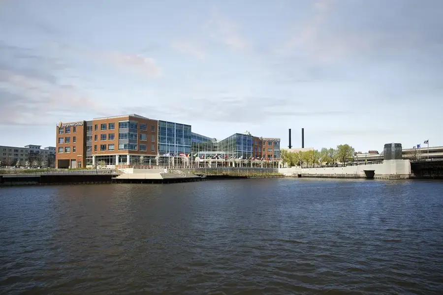
Jangja River
Weather…
Water temperature…
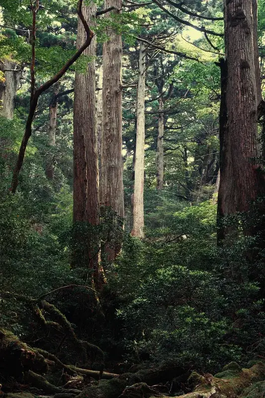
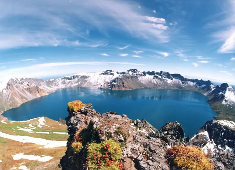
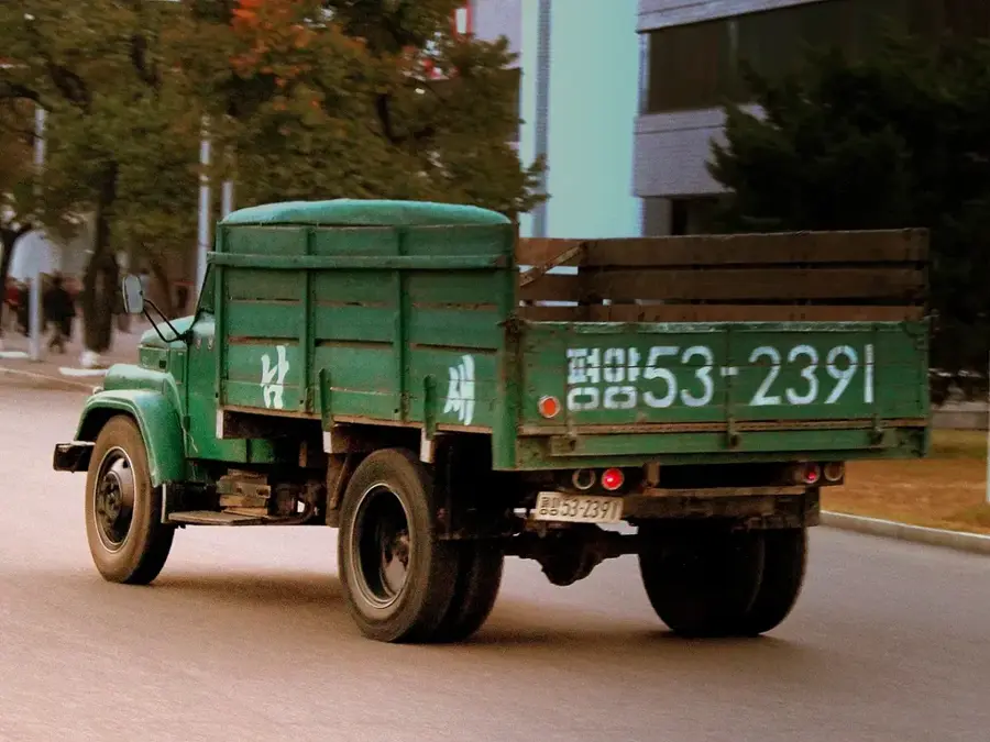
The Jangja River is a significant waterway in the Chagang Province of North Korea, flowing approximately 230 kilometers before joining the Yalu River at the border. It originates from the northern slopes of the Rangrim Mountains and traverses through narrow, steep-sided valleys that characterize the rugged topography of north-central Korea. The river is an essential source of hydroelectric power for the region, with several dams and power stations, including the Kanggye Dam, generating electricity for the industrial city of Kanggye and its surrounding areas. Historically, the river basin has been a center for timber production, with logs being floated downstream to processing plants during the spring thaw. The water is also used for irrigation in the limited arable areas along the riverbanks, supporting the cultivation of hardy crops like maize and potatoes. The region's climate is characterized by long, harsh winters, during which the river remains frozen for several months, impacting local transportation and energy production. In recent years, the North Korean government has prioritized the development of small-scale power plants along the Jangja to improve the energy self-sufficiency of local communities.
- Location: North Korea
- Nearby: Kanggye (15 km)
Best time to visit & climate
The most pleasant time to visit is Jun, Aug, Sep.
| Jan | Feb | Mar | Apr | May | Jun | Jul | Aug | Sep | Oct | Nov | Dec | |
|---|---|---|---|---|---|---|---|---|---|---|---|---|
| Avg °C | -13 | -9 | -2 | 6 | 13 | 19 | 22 | 21 | 16 | 8 | -2 | -11 |
| Rain mm | 8 | 17 | 24 | 49 | 76 | 105 | 233 | 202 | 79 | 47 | 39 | 14 |
📋 Practical info
Geography
Facts
- The Jangja River is approximately 230 kilometers long.
- It flows into the Yalu River near the town of Chunggang.
- The Kanggye Dam is a major hydroelectric facility on the river.
- The river's source is in the northern Rangrim Mountains.
- Historically, the river was used for floating timber downstream.
- The river remains frozen for several months during winter.
Explore nearby
Notable places around
Route planner — Car & Motorhome
Where do you start? We build the route here, with stops and country notes along the way.
© OpenStreetMap contributors · OpenRouteService
Sights nearby
Frequently asked questions
Where does the Jangja River flow?
Which city is located on the Jangja?
Is the river used for power generation?
Can you walk along the river?
What is the climate like in this river valley?
Jangja River: where is it located?
Jangja River: when is the best time to visit?
Jangja River: why is it worth visiting?

Nearby cities
More places