Plizio Visual Lab
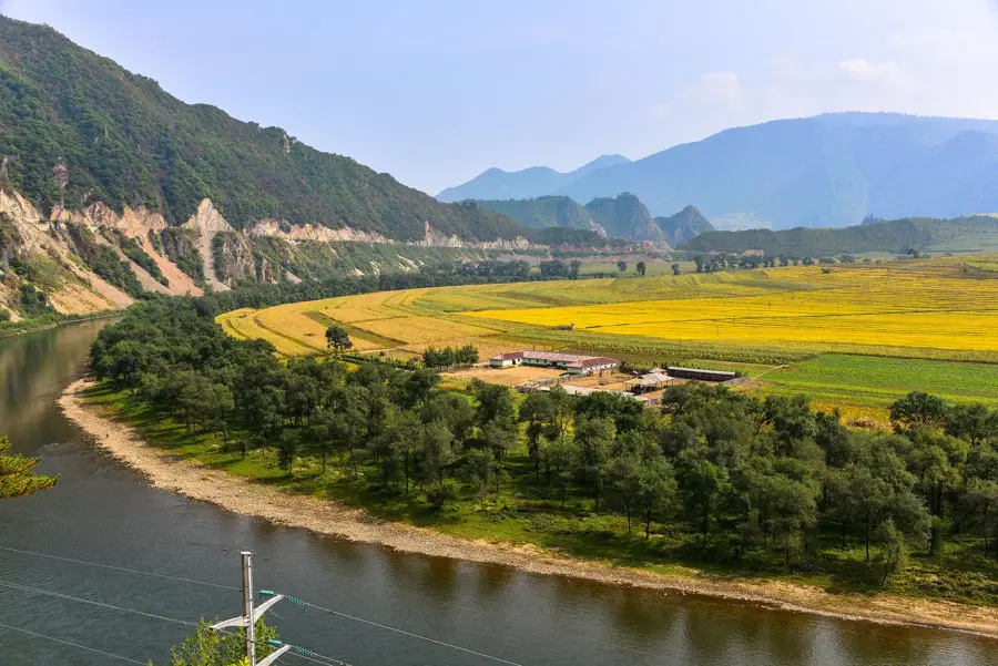
Chongchon River
Weather…
Water temperature…
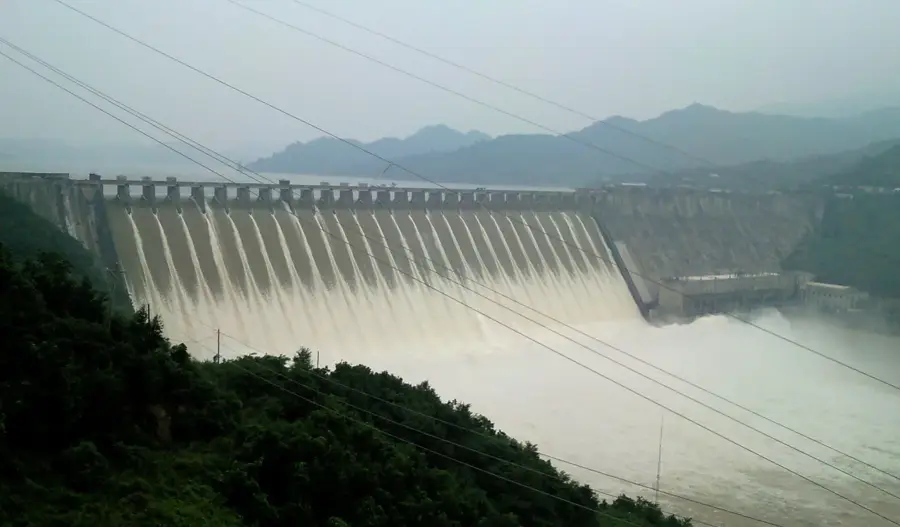
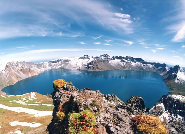
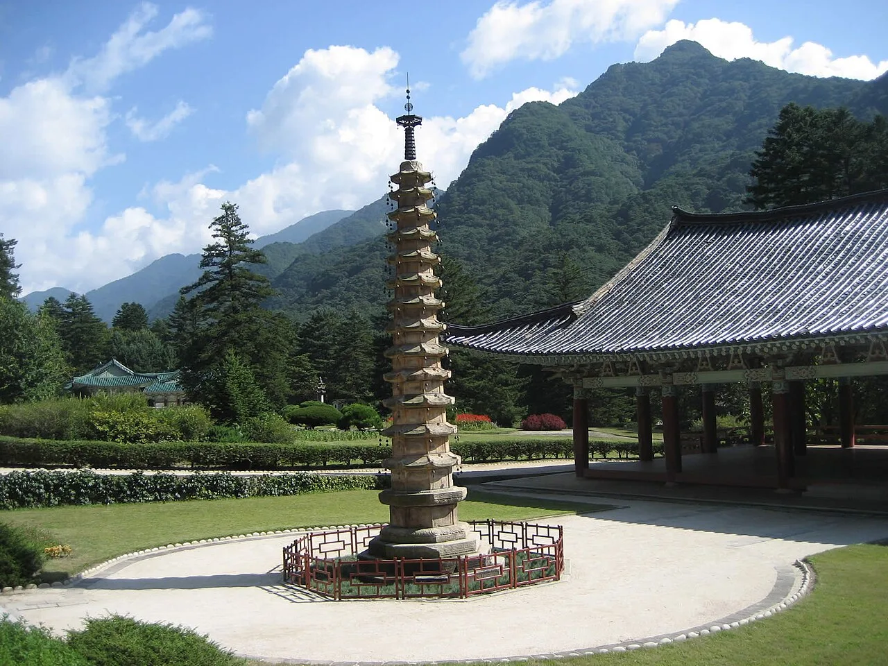
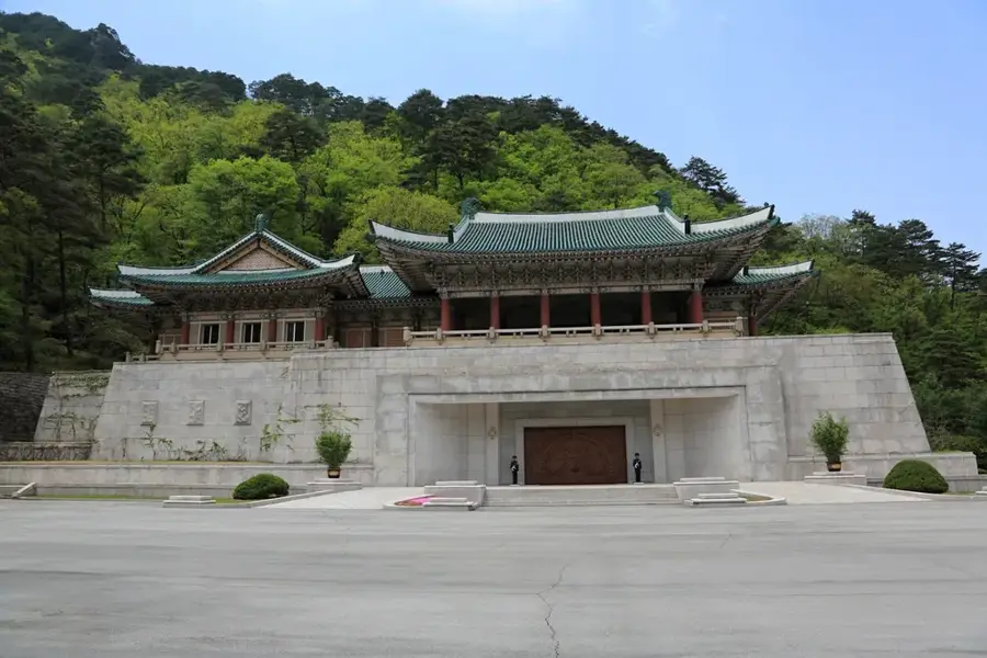
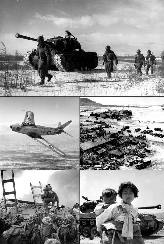
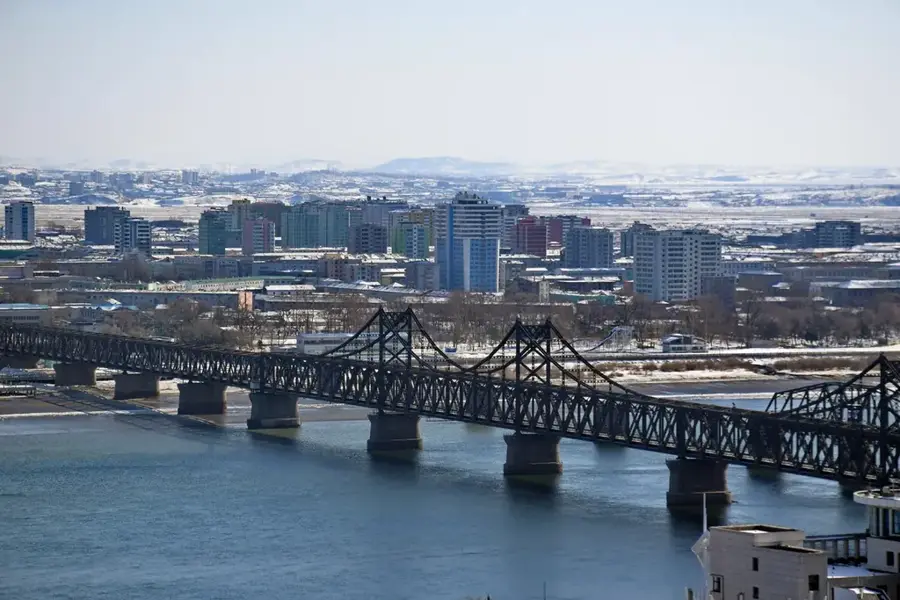
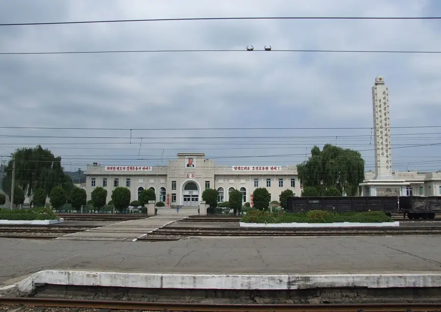
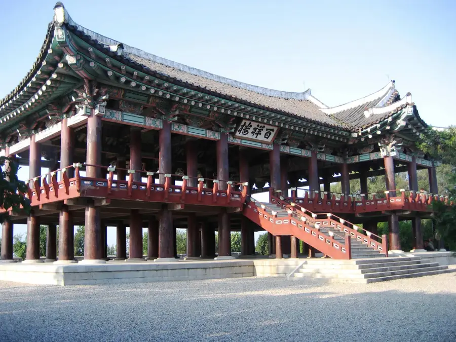
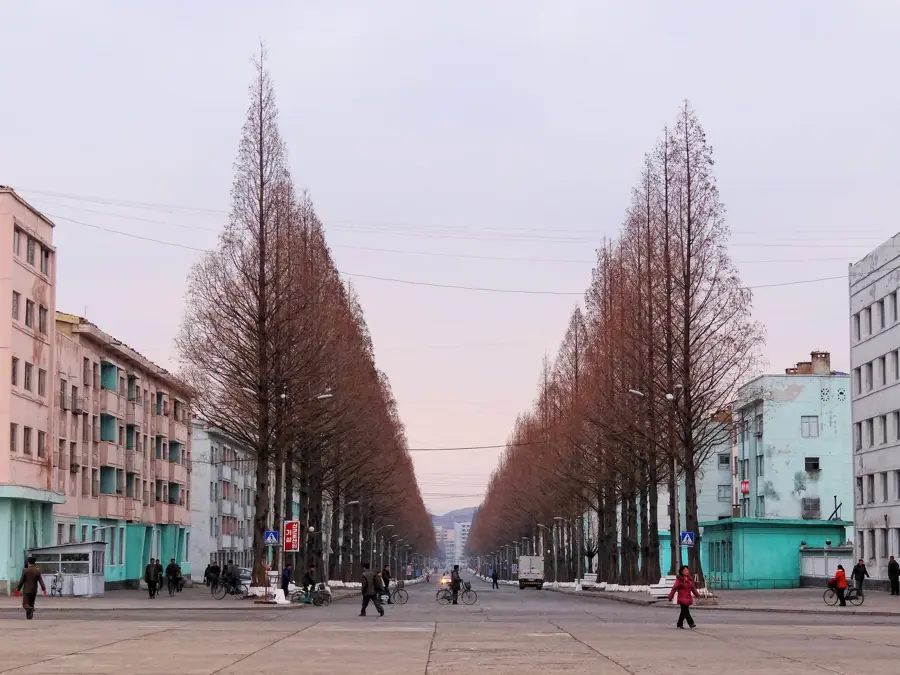
The Chongchon River is a major waterway in the northwestern part of North Korea, flowing approximately 217 kilometers from the Rangrim Mountains to the Yellow Sea. The river basin is historically significant as the site of the Battle of the Ch'ongch'on River in 1950, a pivotal encounter during the Korean War that saw a massive intervention by Chinese forces. Geographically, the river flows through rugged terrain before reaching the fertile coastal plains of North Pyongan Province. The city of Anju is the most prominent urban center along its banks, serving as a hub for the region's coal mining and industrial activities. The river is also important for the irrigation of vast rice paddies, which are essential for the nation's food security. Along its upper reaches, the Myohyang Mountains provide a scenic backdrop, where various ancient Buddhist temples and cultural relics are preserved. Modern infrastructure projects, including several small and medium-sized hydroelectric plants, have been developed along the river to support local energy needs and industrial development.
- Location: North Korea
- Nearby: Jongju (22 km)
Best time to visit & climate
The most pleasant time to visit is May, Jun, Sep.
| Jan | Feb | Mar | Apr | May | Jun | Jul | Aug | Sep | Oct | Nov | Dec | |
|---|---|---|---|---|---|---|---|---|---|---|---|---|
| Avg °C | -7 | -4 | 2 | 9 | 16 | 21 | 24 | 24 | 19 | 12 | 4 | -4 |
| Rain mm | 7 | 19 | 24 | 55 | 82 | 105 | 308 | 250 | 97 | 50 | 52 | 17 |
📋 Practical info
Geography
Facts
- The river has a total length of approximately 217 kilometers.
- The Battle of the Ch'ongch'on River occurred in November 1950.
- Anju is the major industrial city located along its banks.
- The river originates from the central Rangrim Mountains.
- The river basin contains significant anthracite coal deposits.
- It empties into the Yellow Sea near the town of Sinanju.
Explore nearby
Notable places around
Route planner — Car & Motorhome
Where do you start? We build the route here, with stops and country notes along the way.
© OpenStreetMap contributors · OpenRouteService
Sights nearby
Frequently asked questions
Where does the Chongchon River flow?
Which city is located on the Chongchon?
What is the river region historically known for?
Is the river used for irrigation?
Are there hydroelectric power plants?
Chongchon River: where is it located?
Chongchon River: when is the best time to visit?
Chongchon River: why is it worth visiting?

Nearby cities

History & landmarks
Nature
More places