Plizio Visual Lab
Niger Delta Mangroves
Weather…
Water temperature…
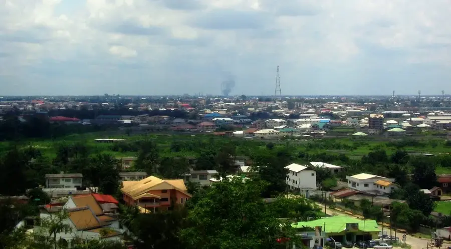
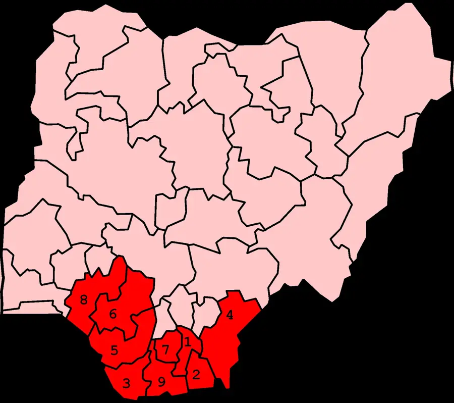
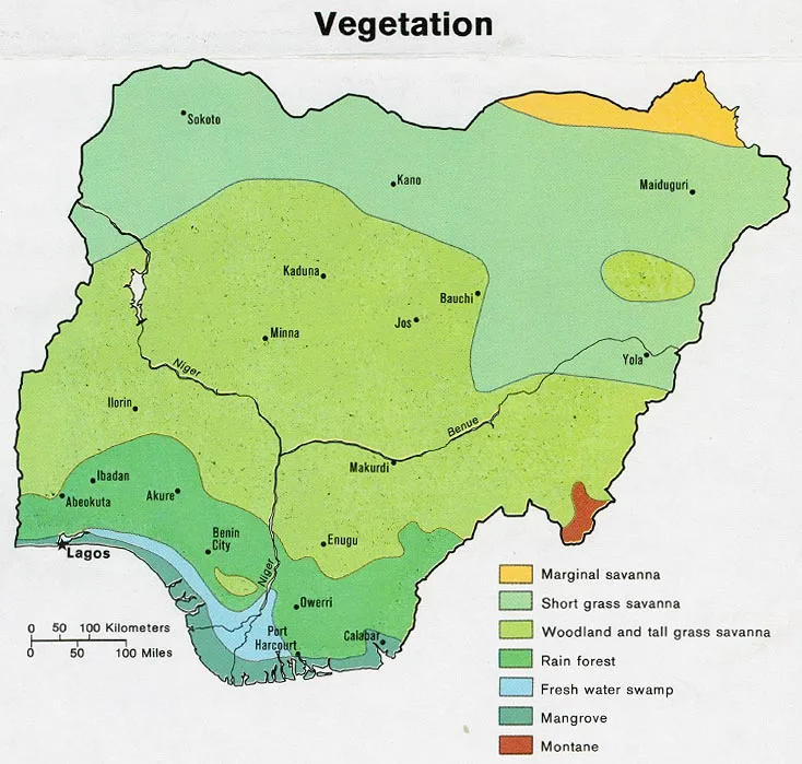
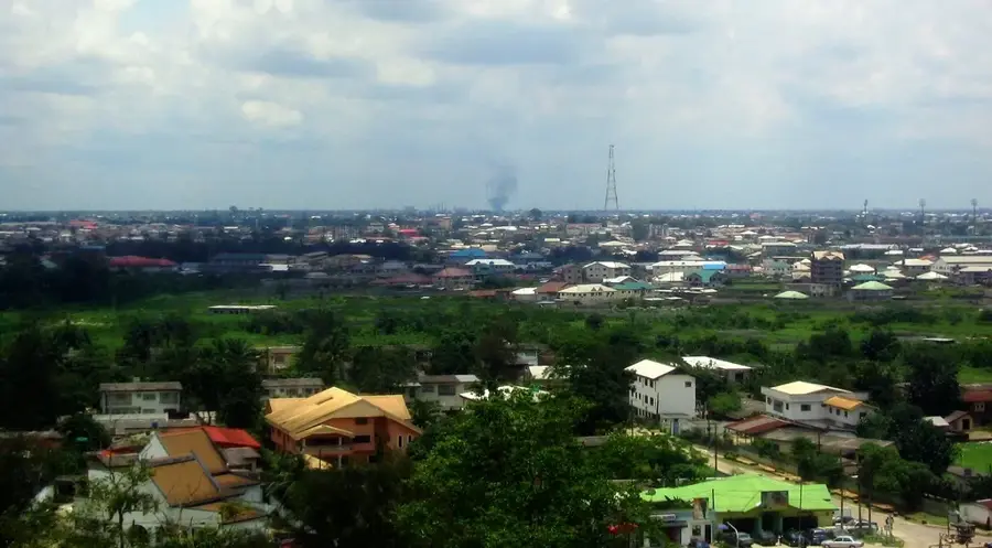
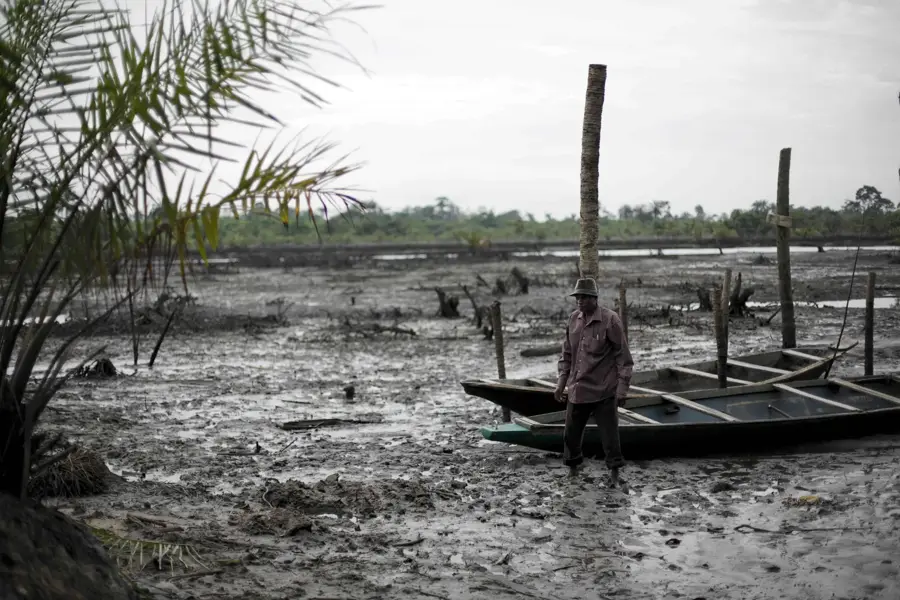
The Niger Delta mangroves in southern Nigeria constitute the largest mangrove forest in Africa and the third largest in the world. This massive ecosystem spans nine states and is defined by a complex network of tidal creeks, lagoons, and islands. The vegetation primarily consists of red and white mangroves, which play a critical role in preventing coastal erosion and filtering sediments from the Niger River. Geographically, the delta is a vast alluvial fan where the river splits into numerous distributaries before entering the Gulf of Guinea. Historically, the delta has been home to diverse ethnic groups like the Ijaw and Itsekiri, whose cultures are deeply tied to the aquatic environment. In modern times, the region faces severe environmental degradation due to decades of crude oil exploration and frequent oil spills. Despite these challenges, the delta remains a biodiversity hotspot and a vital breeding ground for a wide variety of fish and crustacean species.
Best time to visit & climate
The most pleasant time to visit is Jan, Feb, Dec.
| Jan | Feb | Mar | Apr | May | Jun | Jul | Aug | Sep | Oct | Nov | Dec | |
|---|---|---|---|---|---|---|---|---|---|---|---|---|
| Avg °C | 26 | 27 | 27 | 27 | 27 | 26 | 25 | 25 | 25 | 26 | 26 | 26 |
| Rain mm | 26 | 53 | 110 | 162 | 220 | 330 | 334 | 319 | 393 | 252 | 125 | 33 |
📋 Practical info
Geography
Facts
- The Niger Delta covers a vast area of approximately 70,000 square kilometers.
- Mangrove forests occupy about 11,000 square kilometers of the delta's land.
- The region accounts for more than 60% of all mangrove cover in West Africa.
- It is the only habitat for the endangered Sclater's guenon monkey.
- The delta consists of over 20 main distributaries of the Niger River.
- Oil exploration in the delta officially began in 1956 at Oloibiri.
Explore nearby
Notable places around
Route planner — Car & Motorhome
Where do you start? We build the route here, with stops and country notes along the way.
© OpenStreetMap contributors · OpenRouteService
Sights nearby
Frequently asked questions
What is the Niger Delta?
Is tourism safe there?
What animals live there?
Can one take boat tours?
How is the environment situation?
Niger Delta Mangroves: where is it located?
Niger Delta Mangroves: when is the best time to visit?
Niger Delta Mangroves: why is it worth visiting?

Nearby cities
Nature
More places