Plizio Visual Lab
Mont Humboldt

Weather…
Water temperature…
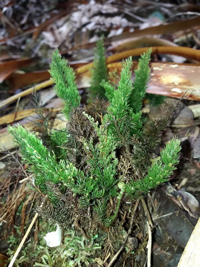
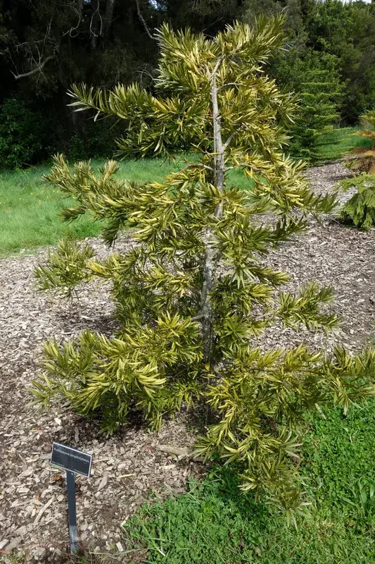
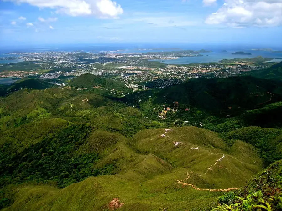
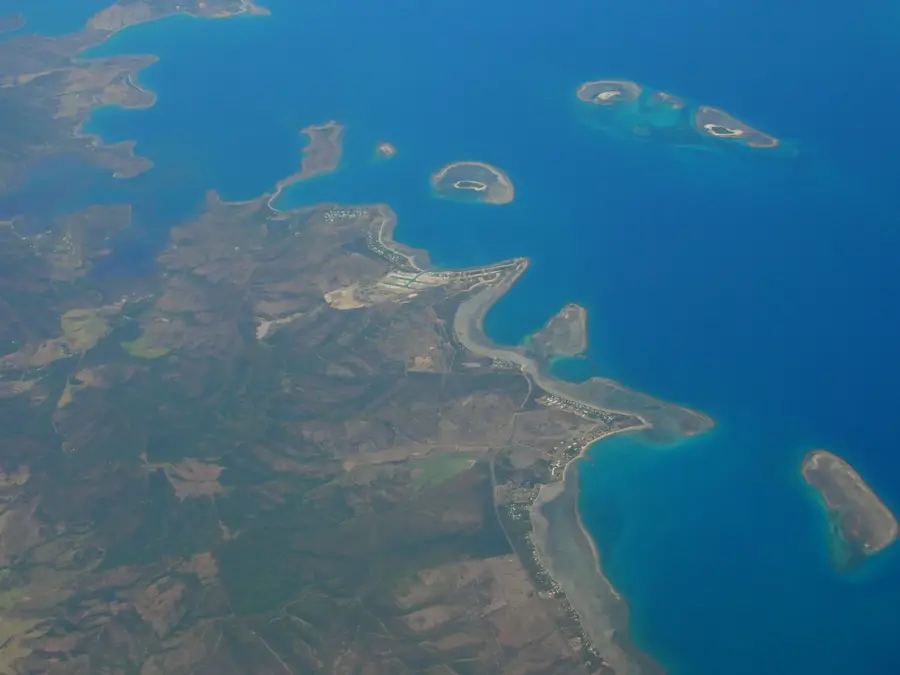
Rising to 1,618 meters, Mont Humboldt is the second highest peak in New Caledonia and a dominant feature of the southern skyline on the island of Grande Terre. As the centerpiece of the Humboldt Massif, it is celebrated for its incredible ecological diversity, hosting a wide array of endemic plant species found nowhere else on Earth. The mountain is a premier destination for experienced hikers, offering the Sentier du Mont Humboldt trail which traverses dense rainforests and steep, rocky ridges. Reaching the summit is a significant achievement that rewards climbers with sweeping, panoramic views of the vast New Caledonian lagoon and the rugged interior of the main island. Due to its sensitive high-altitude ecosystem and unique flora, much of the area is protected as a nature reserve. The mountain serves as an important site for scientific research and a symbol of the archipelago's natural heritage, providing a challenging yet deeply immersive experience for those seeking to explore the high peaks of the Pacific.
Explore on the map
How well do you know New Caledonia?
Find cities, landscapes and regions in 10 varied challenges on the interactive map.
Your journey, your memory
A postcard from Mont Humboldt
Turn your own photo into a personal postcard with a local stamp. Free and no sign-up required.
Create a postcard- Location: New Caledonia
- Highlights: Réserve Spéciale Botanique du Mont Humboldt · Mont Humboldt
- Nearby: La Tontouta (25 km)
Best time to visit & climate
The most pleasant time to visit is Jun, Sep, Oct.
| Jan | Feb | Mar | Apr | May | Jun | Jul | Aug | Sep | Oct | Nov | Dec | |
|---|---|---|---|---|---|---|---|---|---|---|---|---|
| Avg °C | 26 | 26 | 25 | 24 | 22 | 21 | 20 | 20 | 21 | 22 | 23 | 25 |
| Rain mm | 124 | 122 | 171 | 105 | 91 | 75 | 63 | 61 | 41 | 45 | 57 | 87 |
📋 Practical info
Geography
Facts
- Second highest mountain in New Caledonia at 1,618 meters.
- Located in the heart of the Mont Humboldt Nature Reserve.
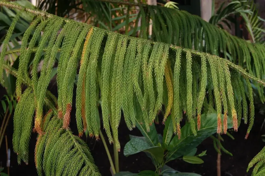
- Known for its dense stands of Araucaria pines.
- The massif consists mainly of peridotite rock.
- Essential habitat for the endemic flightless Kagu bird.
- The hiking trail to the summit is considered one of the toughest.
Explore nearby
Notable places around

Route planner — Car & Motorhome
Where do you start? We build the route here, with stops and country notes along the way.
© OpenStreetMap contributors · OpenRouteService
Sights in the town Mont Humboldt (2)
Sights nearby
Frequently asked questions
Is Mont Humboldt a popular hiking destination?
Is the terrain steep?
How is the weather at the summit?
Are there accommodations on the mountain?
Is the area well marked?
Mont Humboldt: where is it located?
Mont Humboldt: what is there to see?
Mont Humboldt: when is the best time to visit?
Mont Humboldt: why is it worth visiting?

Nearby cities




History & landmarks
Nature
More places