Plizio Visual Lab
Outapi
ℹ️Practical info — Outapi
▾
🌤 Weather — 5 days
📍 Nearby
Sights nearby
💡 Tips
- Visit the Omukwa Baobab tree, which has historically served as a post office and a chapel.
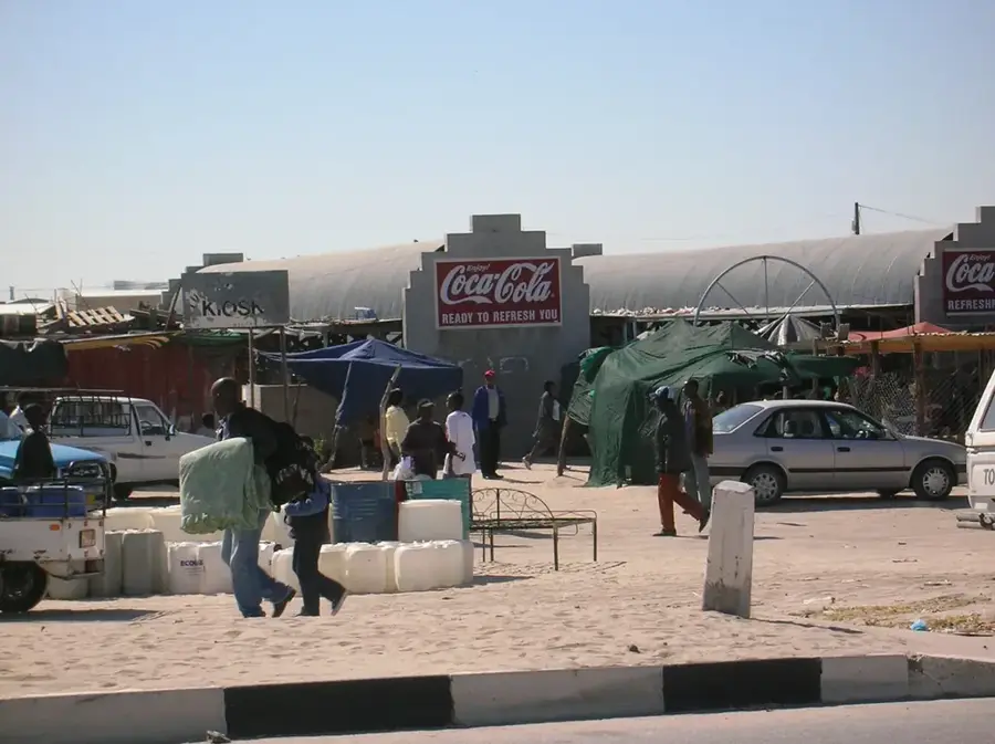
- The open market is the bustling heart of the city; visit in the morning to see the local trade in action.
- Outapi gets very hot; try to complete your outdoor exploration before the midday sun hits.
- Always ask for permission before taking photos of people or their stalls at the traditional market.
🍽 Food
Try this staple food made from pearl millet at the food stalls in the open market.
A local delicacy rich in protein, usually served dried as a snack or stewed in sauce.
Traditional free-range chicken prepared with local marula oil or spices.
🛍 Shopping · 🧘 Quiet spots
Purchase hand-woven baskets and traditional bright Oshiwambo fabrics.
Look for handmade clay pots near the town outskirts, used traditionally for keeping water cool.
A shaded, historic site that provides a peaceful break from the town's bustle.
Take a walk towards the agricultural fields on the edge of town for a quieter view of local life.
Water temperature…
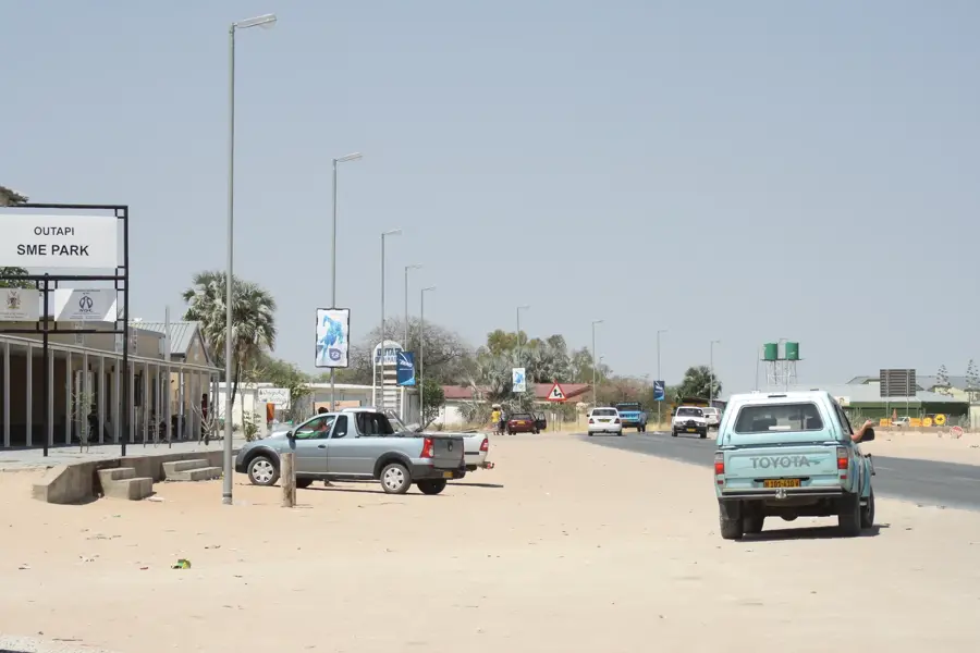
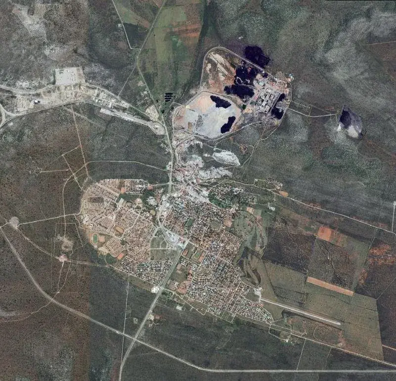
Outapi, also known as Ombalantu, is the capital of the Omusati Region in northern Namibia. The town serves as a vital cultural and administrative hub for the Ombalantu people, a subgroup of the Ovambo ethnic group. One of its most famous landmarks is the Ombalantu Baobab Tree, a massive hollow baobab that has historically functioned as a post office, a chapel, and even a jail. During the Namibian War of Independence, Outapi was a strategic military site, hosting a large South African Defence Force base. Since independence in 1990, the town has rapidly developed into a modern service center with lively markets and new government infrastructure. Geographically, it is located on a flat plain characterized by mopane scrubland, near the border with Angola. The local economy is driven by government services, retail trade, and subsistence agriculture, with the town acting as a central supply point for the surrounding rural communities.
Explore on the map
How well do you know Namibia?
Find cities, landscapes and regions in 10 varied challenges on the interactive map.
Your journey, your memory
A postcard from Outapi
Turn your own photo into a personal postcard with a local stamp. Free and no sign-up required.
Create a postcard- Location: Namibia
- Nearby: Tsandi (30 km)
- Population: ~7.629 (2026)
Best time to visit & climate
The most pleasant time to visit is May, Jun, Aug.
| Jan | Feb | Mar | Apr | May | Jun | Jul | Aug | Sep | Oct | Nov | Dec | |
|---|---|---|---|---|---|---|---|---|---|---|---|---|
| Avg °C | 27 | 26 | 25 | 24 | 21 | 18 | 18 | 21 | 25 | 28 | 28 | 28 |
| Rain mm | 122 | 116 | 124 | 31 | 3 | 0 | 0 | 0 | 2 | 11 | 32 | 69 |
Geography
Facts
- Capital city of the Omusati Region
- Home to the historic Ombalantu Baobab Tree
- Former site of a major South African military base
- Located less than 20 kilometers from the Angolan border
- Key commercial center for the local Ovambo population
- Proclaimed as a town in 1998
Explore nearby
Notable places around
Route planner — Car & Motorhome
Where do you start? We build the route here, with stops and country notes along the way.
© OpenStreetMap contributors · OpenRouteService
Sights in the town Outapi (1)
Frequently asked questions
What is the main attraction in Outapi?
Can you visit the Baobab tree?
How long does a visit to Outapi take?
When is the best time to travel?
Are there accommodations in Outapi?
Outapi: where is it located?
Outapi: when is the best time to visit?
Outapi: why is it worth visiting?

Nearby cities
Nature
More places