Plizio Visual Lab
Hochfeld
ℹ️Practical info — Hochfeld
▾
🌤 Weather — 5 days
📍 Nearby
Sights nearby
💡 Tips
- Top up your fuel tank here! This is a crucial stop before heading deeper into the vast, sparsely populated farming plains.
- Be prepared for gravel 'dirt roads' stretching in every direction; check your vehicle's tire pressure before leaving town.
- Drive with extreme caution at dawn and dusk, as wildlife frequently crosses the roads in this agricultural area.
- Do not rely entirely on card machines; internet connections drop, so carry enough cash to buy your supplies.
🍽 Food
The classic air-dried meat. Grab a bag from the local store; it is the excellent savory snack for a long road trip.
A spiced sausage great for a 'braai' (barbecue). Check the coolers at the general dealer.
Dried sausage sticks that, like biltong, make for an excellent, mess-free road snack.
🛍 Shopping · 🧘 Quiet spots
The main store at the junction is your one-stop-shop for drinks, snacks, and basic farming supplies.
Occasionally, you might spot homemade jams, rusks, or preserves sourced directly from surrounding farms on the shelves.
Simply pull over a few kilometers outside the junction to take in the sheer, silent vastness of the Namibian plains.
Sit in the shade near the general store with a cold drink and simply watch the slow, quiet rural life pass by.
Water temperature…
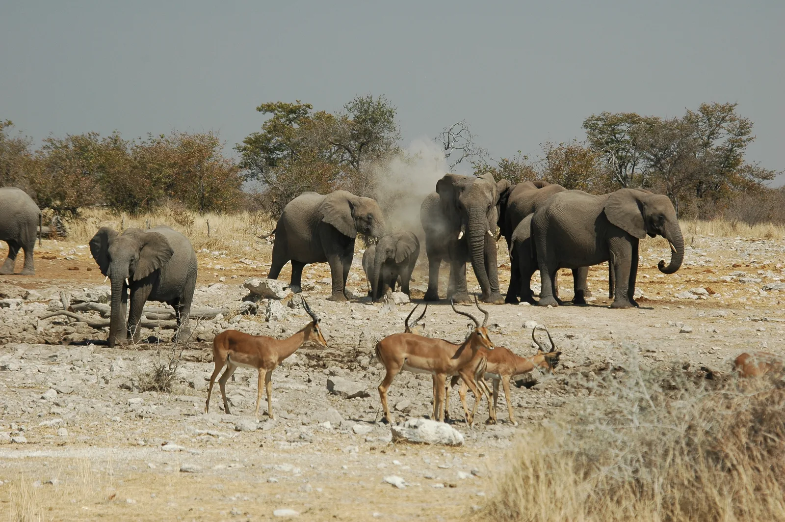
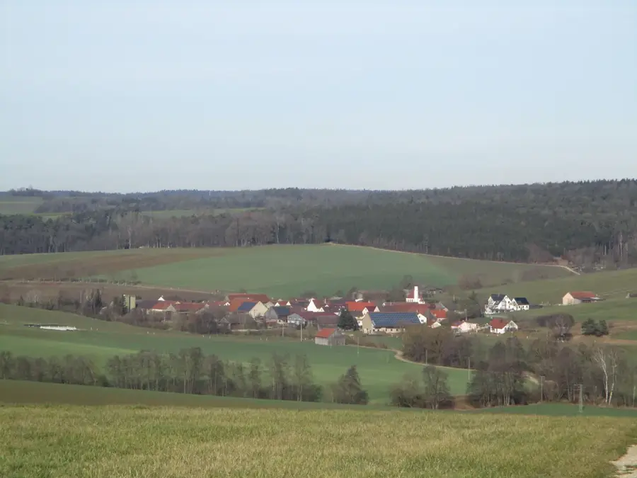
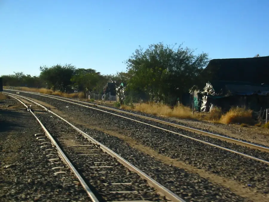
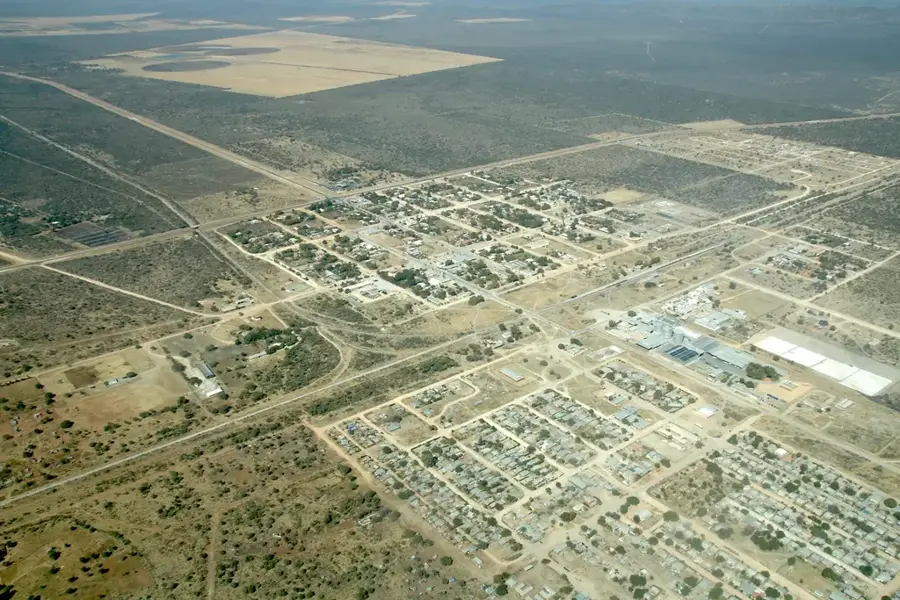
Hochfeld is a small rural settlement in the Otjozondjupa Region of north-central Namibia. It is situated in the heart of one of the country's most productive agricultural zones, dominated by large-scale commercial cattle ranching. Geographically, Hochfeld is positioned on the central plateau, which enjoys more moderate temperatures compared to the lower-lying desert regions of the coast and south. The settlement acts as a vital service hub for the surrounding farming community, offering essential facilities such as a police station, a medical clinic, and a small general store. Historically, the region has been integral to the development of Namibia's ranching economy since the colonial era and continues to play a major role in the national beef industry. The expansive, open plains are typical of the thornbush savanna biome and support a diverse array of wildlife, including various antelope species and warthogs. For travelers, Hochfeld serves as a quiet transit point on routes leading toward the northeast of the country or the remote ranches bordering the Kalahari region.
Explore on the map
How well do you know Namibia?
Find cities, landscapes and regions in 10 varied challenges on the interactive map.
Your journey, your memory
A postcard from Hochfeld
Turn your own photo into a personal postcard with a local stamp. Free and no sign-up required.
Create a postcardBest time to visit & climate
The most pleasant time to visit is Apr, Sep, Oct.
| Jan | Feb | Mar | Apr | May | Jun | Jul | Aug | Sep | Oct | Nov | Dec | |
|---|---|---|---|---|---|---|---|---|---|---|---|---|
| Avg °C | 25 | 24 | 23 | 20 | 17 | 13 | 13 | 16 | 21 | 24 | 25 | 25 |
| Rain mm | 87 | 89 | 76 | 46 | 3 | 0 | 0 | 0 | 2 | 18 | 41 | 66 |
Geography
Facts
- Hochfeld is located approximately 135 kilometers northeast of Windhoek.
- The region is renowned for hosting some of Namibia's premier cattle ranches.
- The settlement sits at an average elevation of 1,450 meters.
- Hochfeld is accessible via the C31 gravel highway.
- The town serves as a significant regional operational base for the Namibian Police.
- Many surrounding farms offer professional trophy hunting as a secondary industry.
Explore nearby
Notable places around
Route planner — Car & Motorhome
Where do you start? We build the route here, with stops and country notes along the way.
© OpenStreetMap contributors · OpenRouteService
Sights in the town Hochfeld (1)
Frequently asked questions
What makes Hochfeld special?
Is Hochfeld a tourist destination?
How do you reach the town?
What should one plan for transit?
Are there accommodations in Hochfeld?
Hochfeld: where is it located?
Hochfeld: when is the best time to visit?
Hochfeld: why is it worth visiting?

Nearby cities
History & landmarks