Plizio Visual Lab
Loi Pangnao
Weather…
Water temperature…
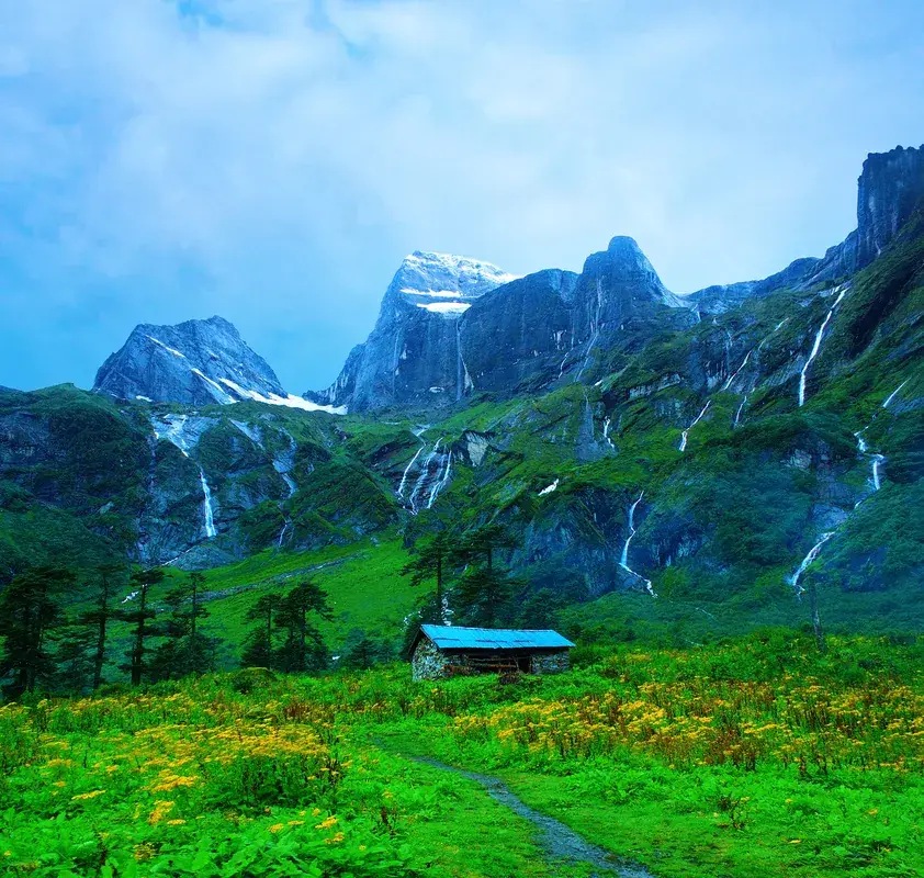
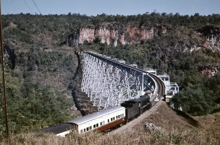
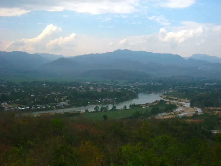
Loi Pangnao is the highest peak of the Shan Hills in eastern Myanmar, reaching an impressive elevation of 2,563 meters above sea level. It is located near the town of Kengtung (Kyaingtong) in eastern Shan State, not far from the borders with China and Laos. The mountain is part of a massive highland area that geologically belongs to the Indochinese plate, characterized by limestone formations and metamorphic rocks. The flora on Loi Pangnao varies with altitude, from subtropical rainforests at the base to montane cloud forests in the summit regions, which harbor rare orchid species. Due to its prominent position, the summit gives panoramic views across the rugged terrain of the Golden Triangle. Historically, the region was a remote frontier area inhabited by various ethnic groups such as the Shan and Akha, known for their unique cultural traditions. The ascent to the summit is technically demanding and rarely undertaken by tourists, which has preserved the nature's pristine state. The area is also of strategic importance for the protection of the Mekong River basin's watersheds.
- Location: Myanmar (Burma)
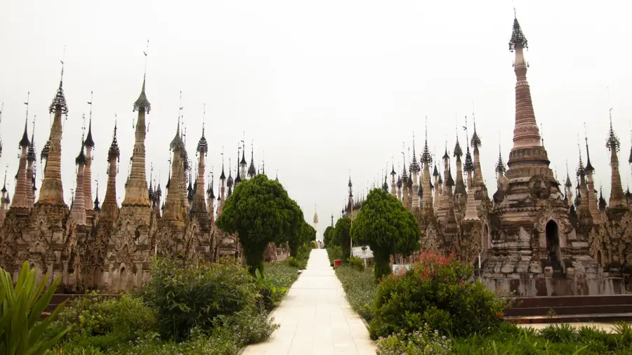
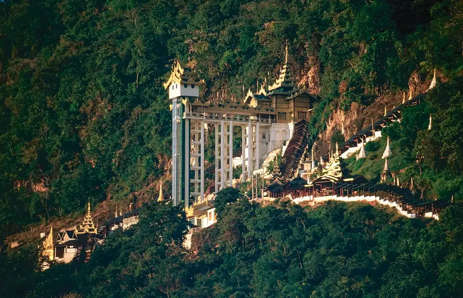
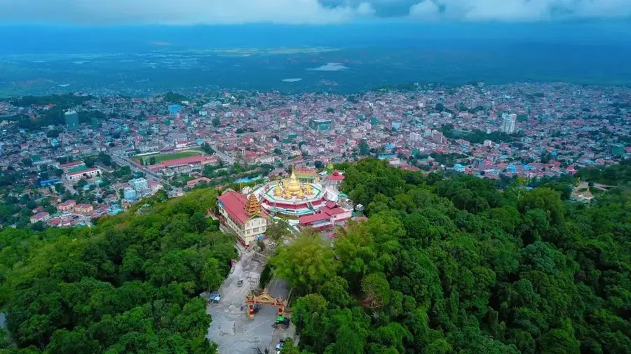
- Top sights: Relics of Nine Buddha Pagodas · Wat Nam Hsai Kam · ဝတ်ႉၵဵင်းၵႃႇ
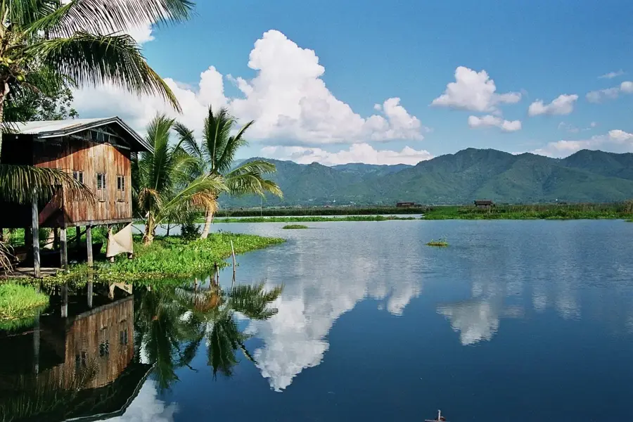
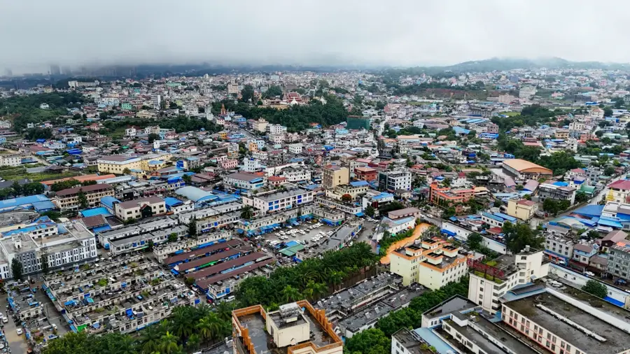
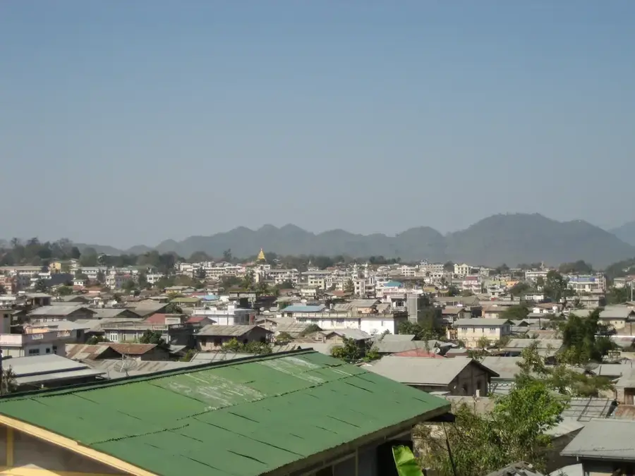
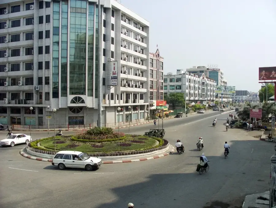
- Nearby: Kengtung (11 km)
Best time to visit & climate
The most pleasant time to visit is Feb, Mar, Nov.
| Jan | Feb | Mar | Apr | May | Jun | Jul | Aug | Sep | Oct | Nov | Dec | |
|---|---|---|---|---|---|---|---|---|---|---|---|---|
| Avg °C | 15 | 18 | 21 | 24 | 24 | 24 | 23 | 23 | 22 | 21 | 18 | 15 |
| Rain mm | 24 | 5 | 17 | 40 | 97 | 123 | 209 | 194 | 123 | 91 | 32 | 16 |
📋 Practical info
Geography
Facts
- Loi Pangnao is the highest mountain in the Shan Hills at 2,563 meters.
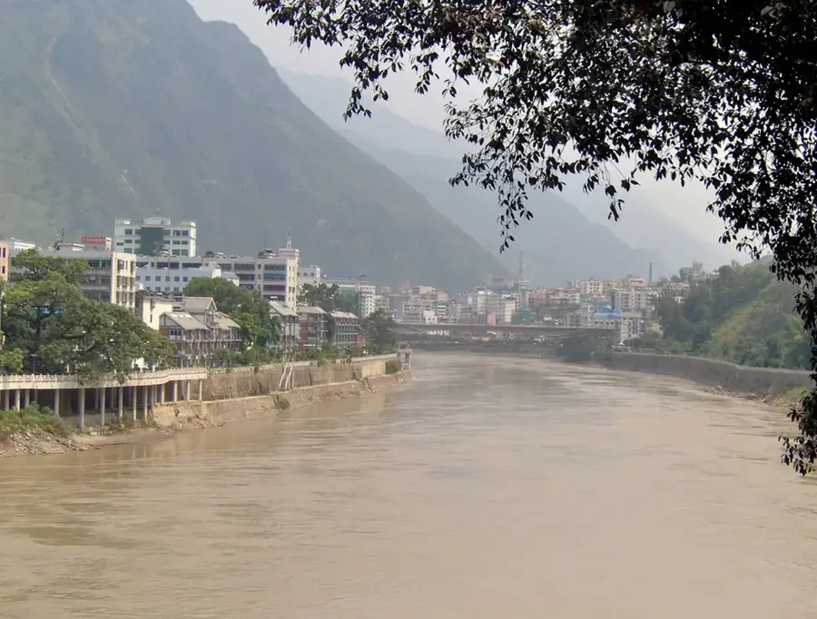
- The mountain is located east of the Salween (Thanlwin) River.
- Kengtung is the nearest cultural and urban center.
- The region is part of the notorious Golden Triangle.
- A cool mountain climate prevails in the higher elevations.
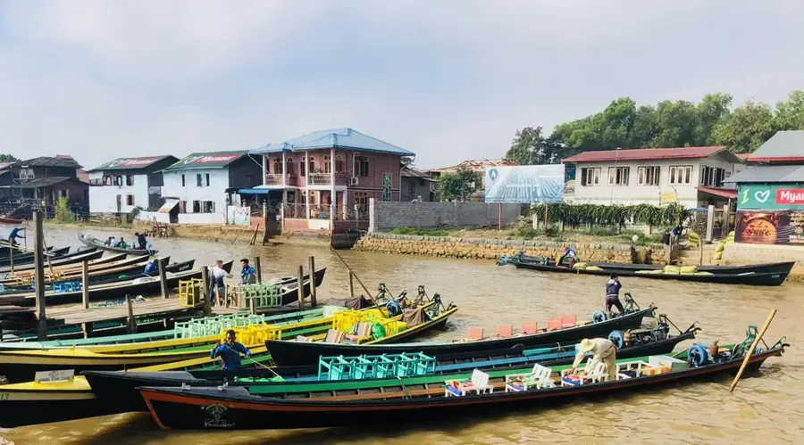
- The Akha population practices traditional farming on the mountain.
Explore nearby
Notable places around
Route planner — Car & Motorhome
Where do you start? We build the route here, with stops and country notes along the way.
© OpenStreetMap contributors · OpenRouteService
Sights in the town Loi Pangnao (3)
Sights nearby
Frequently asked questions
What is Loi Pangnao?
Is it accessible for hikers?
When is the best time to visit?
Are there viewpoints there?
Is the area family friendly?
Loi Pangnao: where is it located?
Loi Pangnao: what is there to see?
Loi Pangnao: when is the best time to visit?
Loi Pangnao: why is it worth visiting?

Nearby cities

History & landmarks
Nature
More places