Plizio Visual Lab
Morrumbala
ℹ️Practical info — Morrumbala
▾
🌤 Weather — 5 days
📍 Nearby
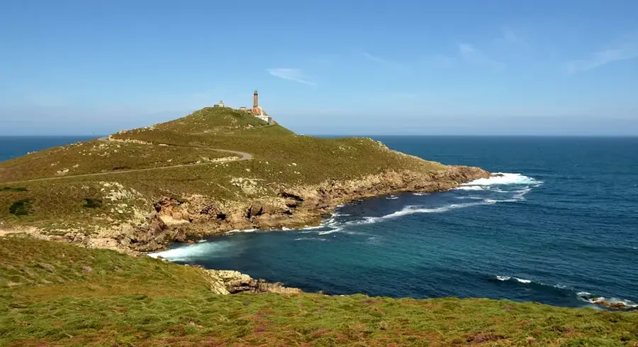
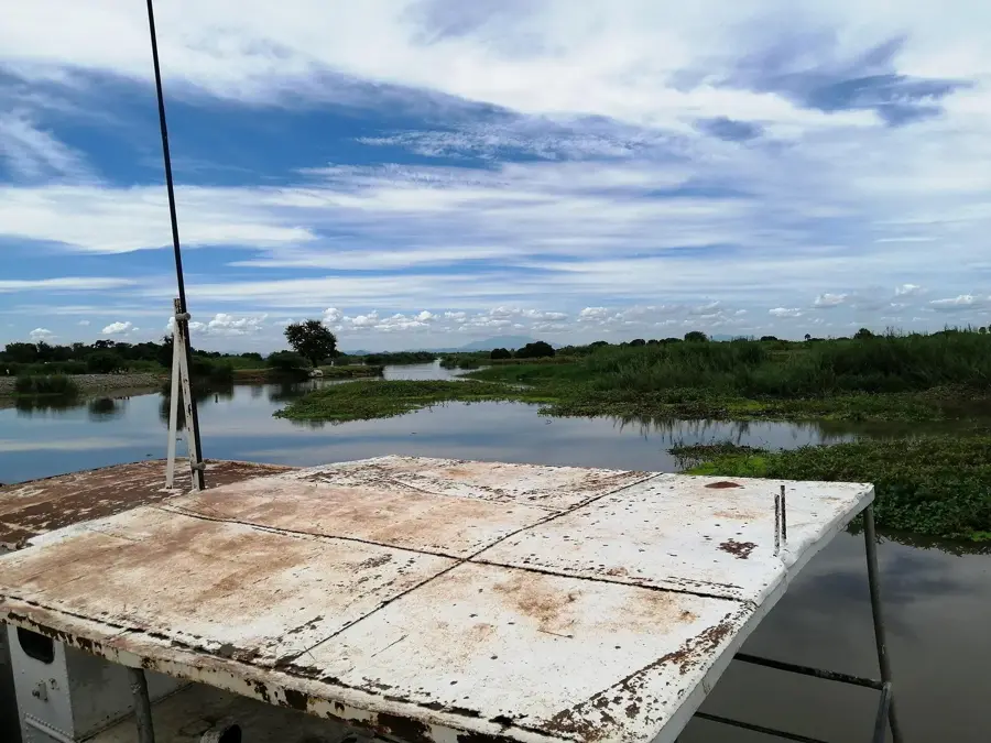
Sights nearby
💡 Tips
- Morrumbala is located in a very hot and humid zone; schedule your activities for the early morning hours.
- The surrounding landscape is hilly and lush; sturdy footwear is advised for walks outside the town center.
- The town serves as an important transit point in the interior of Zambezia Province.
- Ensure you carry plenty of drinking water, as the heat can be intense throughout the day.
- The local community is welcoming; learning a few basic Portuguese greetings is highly appreciated.
🍽 Food
A traditional dish made from cassava leaves and ground peanuts; very nutritious and local.
Look for the large, sweet papayas sold in the local market during the season.
A common street snack freshly prepared over charcoal at various roadside spots.
🛍 Shopping · 🧘 Quiet spots
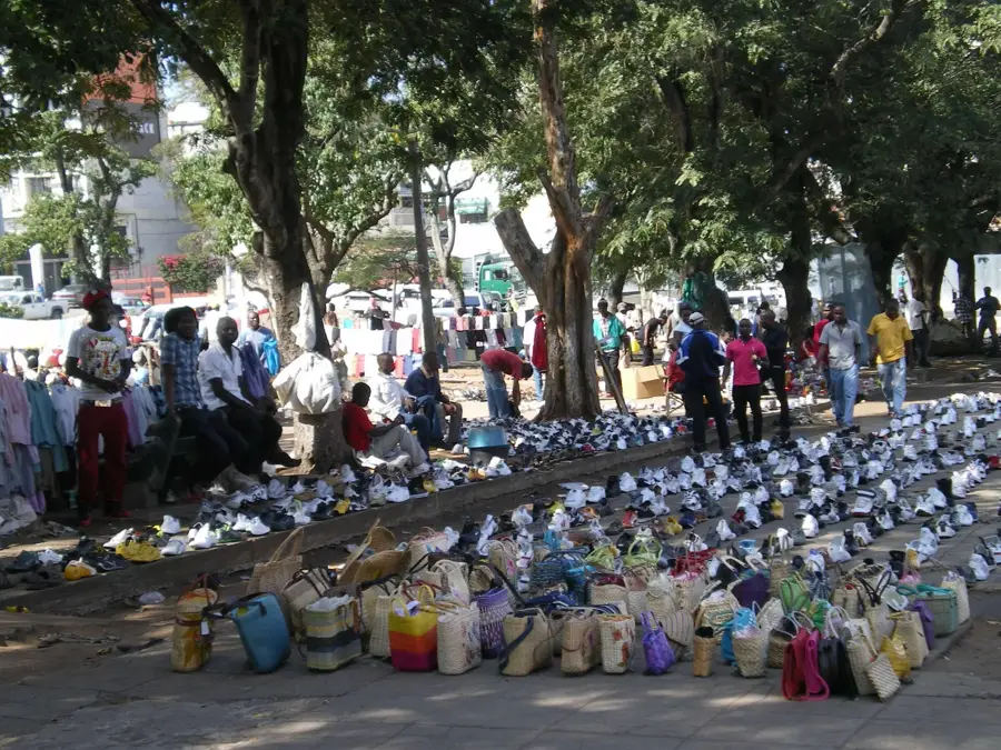
The go-to spot for a variety of local agricultural produce and staples.
Look for hand-woven baskets made by artisans from the surrounding rural areas.
The elevated spots on the outskirts offer broad views of the lush Zambezian plains.
Quiet green spots convenient for a short break away from the town's busy trade areas.
Water temperature…
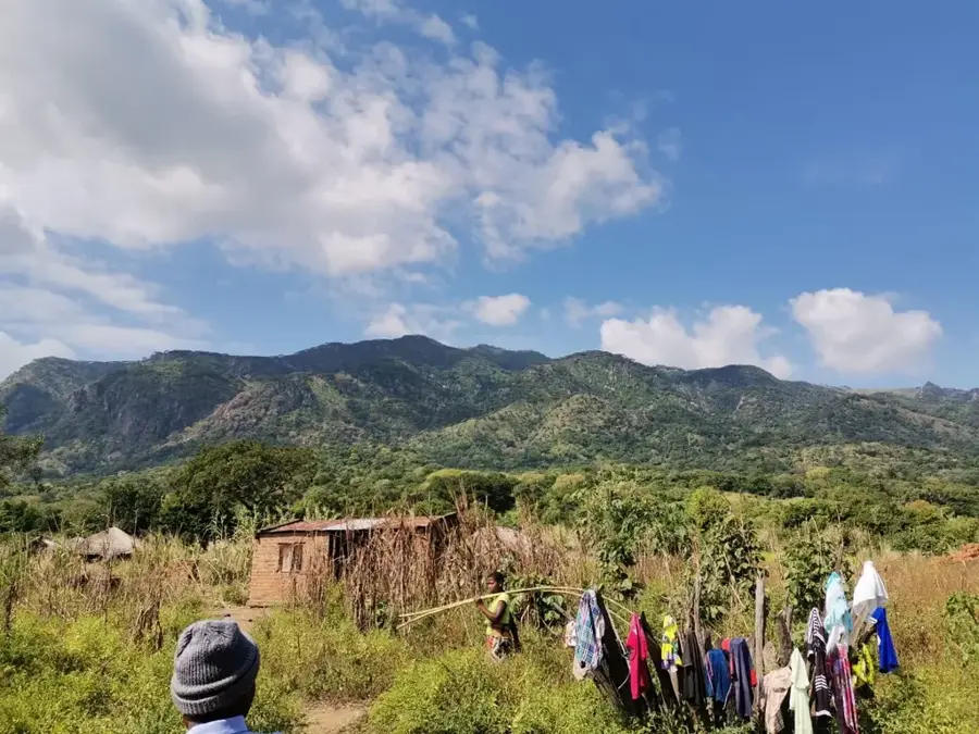
Morrumbala is a prominent mountain town in the Zambezia Province of western Mozambique, situated near the border with Malawi. Located within the Shire Highlands, the town is overshadowed by the massive Mount Morrumbala, which rises over 1,000 meters above sea level. Due to its elevation, the region enjoys a significantly cooler climate and higher rainfall than the surrounding plains, making it one of the most productive agricultural zones for crops such as tea, tobacco, and maize. Historically, Morrumbala held great strategic importance during the Mozambican Civil War, serving as a major stronghold for RENAMO insurgents, which delayed civil development for many years. Since the peace agreements, the town has re-emerged as an agrarian hub, benefiting from its proximity to the Shire River and cross-border trade routes into Malawi. The surrounding landscape is characterized by dense forests and steep slopes, offering considerable potential for future eco-tourism. The region's cultural identity is primarily shaped by the Sena people, whose traditions remain closely tied to highland agriculture.
- Location: Mozambique
- Population: ~24.076 (2024)
Best time to visit & climate
The most pleasant time to visit is Jun–Aug.
| Jan | Feb | Mar | Apr | May | Jun | Jul | Aug | Sep | Oct | Nov | Dec | |
|---|---|---|---|---|---|---|---|---|---|---|---|---|
| Avg °C | 26 | 26 | 25 | 24 | 23 | 21 | 21 | 23 | 26 | 28 | 29 | 27 |
| Rain mm | 304 | 181 | 180 | 71 | 28 | 29 | 42 | 11 | 13 | 28 | 84 | 226 |
Geography
Facts
- Mount Morrumbala is a prominent inselberg within the Shire Highlands.
- The region receives high annual rainfall, often exceeding 1,500 mm.
- The town was isolated from the rest of the country for years during the civil war.
- The Shire River forms the natural western border with Malawi.
- Sena is the most widely spoken local language in the district.
- The cooler high-altitude areas host several historic tea estates.
Explore nearby
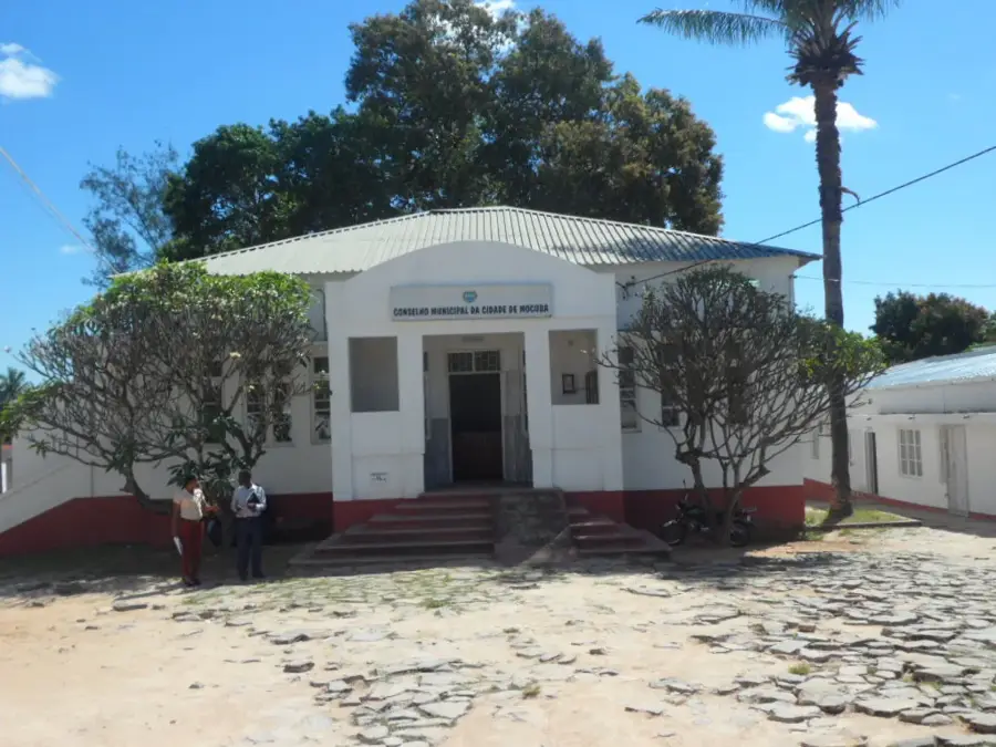
Notable places around
Route planner — Car & Motorhome
Where do you start? We build the route here, with stops and country notes along the way.
© OpenStreetMap contributors · OpenRouteService
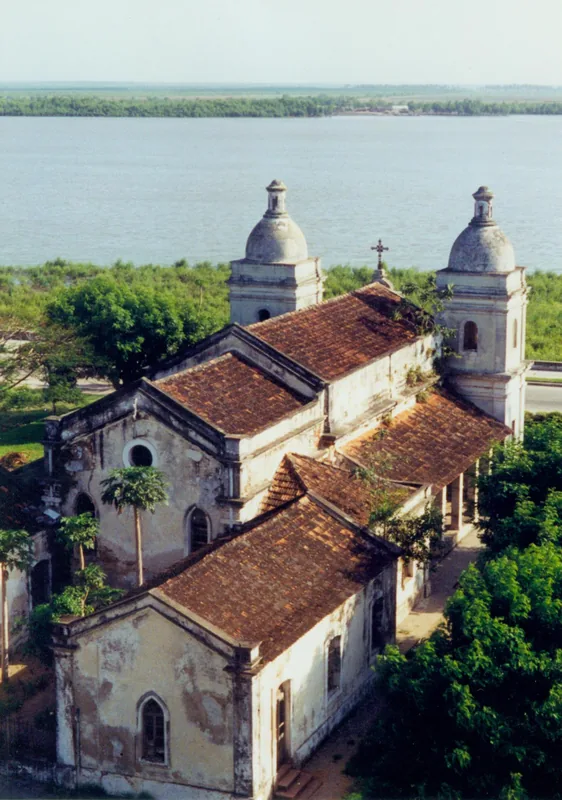
Sights in the town Morrumbala (1)
Frequently asked questions
What makes Morrumbala a destination?
Do I need a 4x4 vehicle in Morrumbala?
Are there accommodation options in Morrumbala?
What activities are popular in the area?
Is Morrumbala safe for travelers?
Morrumbala: where is it located?
Morrumbala: when is the best time to visit?
Morrumbala: why is it worth visiting?

Nearby cities