Plizio Visual Lab
Bazaruto Archipelago

Weather…
Water temperature…
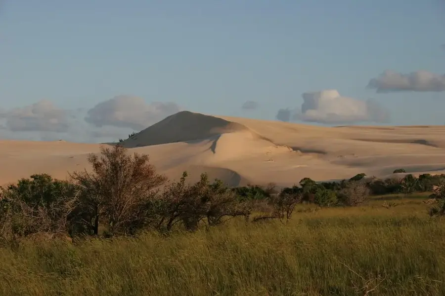
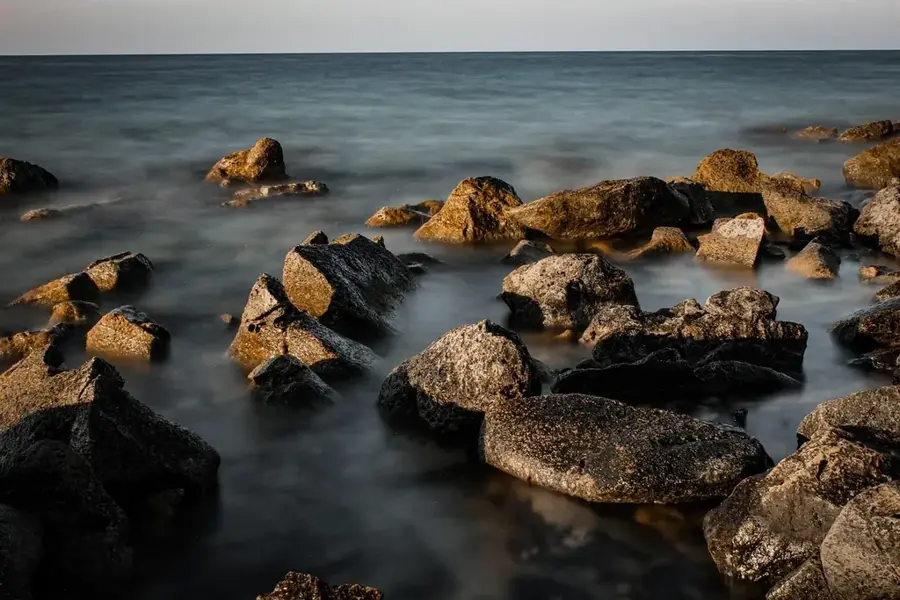
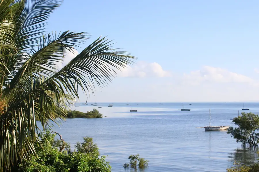
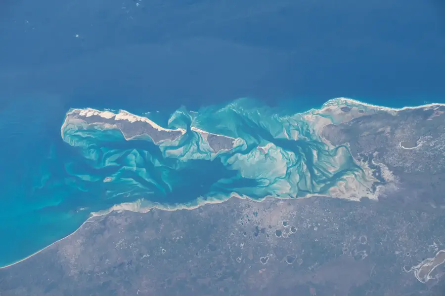
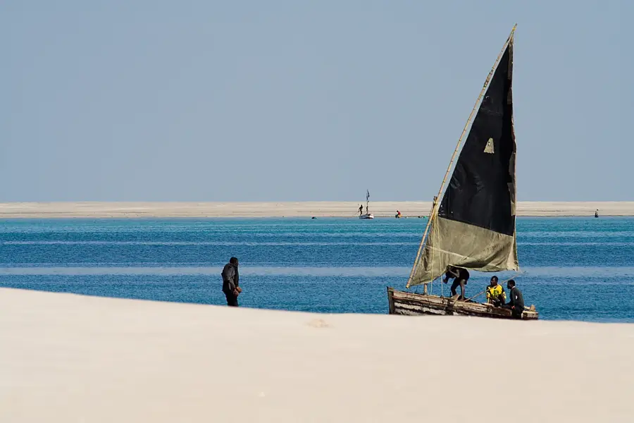
The Bazaruto Archipelago comprises five principal islands off the coast of Inhambane Province, representing one of the Indian Ocean's most significant marine conservation areas. The islands of Bazaruto, Benguerra, Magaruque, Santa Carolina, and Bangue were officially designated as a National Park on May 25, 1971, to safeguard their unique ecological integrity. The archipelago is notably home to the last viable population of dugongs in East Africa, which rely on the extensive seagrass meadows for survival. Geographically, the islands feature towering sand dunes, freshwater lakes, and lush coastal vegetation, surrounded by pristine coral reefs hosting over 2,000 fish species. Historically, the archipelago served as a strategic trade link for Arab merchants and later for Portuguese explorers seeking pearls and ambergris. Today, it is a premier destination for high-end sustainable tourism and marine research, balancing economic development with rigorous environmental protection. The area is also a critical nesting site for five species of marine turtles, underscoring its global conservation importance.
- Location: Mozambique
- Nearby: Benguerra Island (17 km)
Best time to visit & climate
The most pleasant time to visit is Jul–Sep.
| Jan | Feb | Mar | Apr | May | Jun | Jul | Aug | Sep | Oct | Nov | Dec | |
|---|---|---|---|---|---|---|---|---|---|---|---|---|
| Avg °C | 28 | 28 | 27 | 26 | 25 | 24 | 23 | 23 | 24 | 25 | 26 | 27 |
| Rain mm | 105 | 122 | 109 | 50 | 16 | 34 | 32 | 10 | 10 | 23 | 38 | 131 |
📋 Practical info
Geography
Facts
- Declared a National Park on May 25, 1971.
- Consists of 5 main islands in the Indian Ocean.
- Home to East Africa's last viable dugong population.
- Hosts over 2,000 species of marine fish.
- Features massive coastal sand dunes up to 100m high.
- Critical nesting ground for five sea turtle species.
Explore nearby
Notable places around
Route planner — Car & Motorhome
Where do you start? We build the route here, with stops and country notes along the way.
© OpenStreetMap contributors · OpenRouteService
Sights in the town Bazaruto Archipelago (1)
Sights nearby
Frequently asked questions
When is the best time to visit?
How do you get there?
Can one snorkel there?
Do you need a permit?
Are the islands family-friendly?
Bazaruto Archipelago: where is it located?
Bazaruto Archipelago: when is the best time to visit?
Bazaruto Archipelago: why is it worth visiting?

Nearby cities

More places