Plizio Visual Lab
Rovuma River

Weather…
Water temperature…
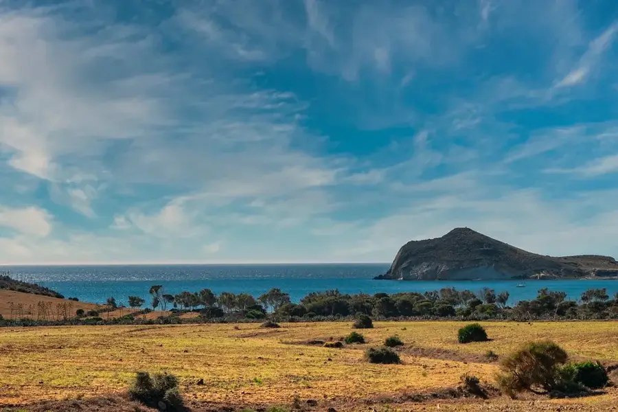
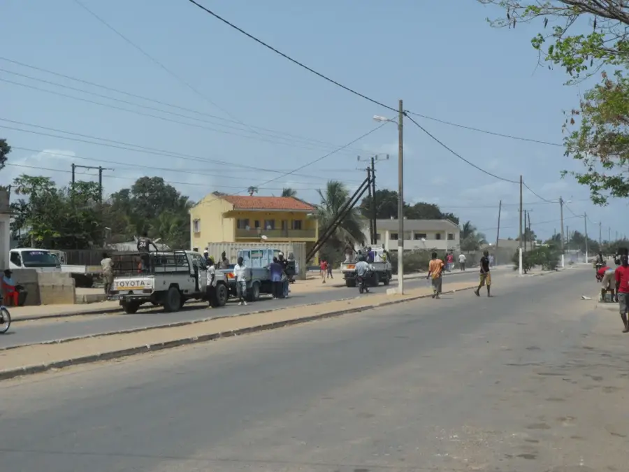
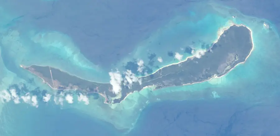
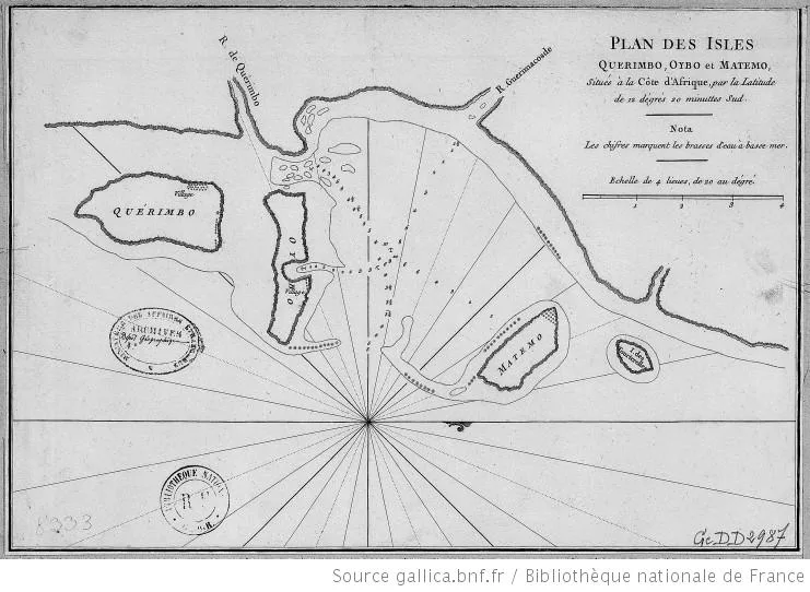
The Rovuma River is one of East Africa's major waterways, forming the natural border between Mozambique and Tanzania for approximately 650 kilometers. Rising to the east of Lake Niassa, it flows eastward to discharge into the Indian Ocean just north of Cape Delgado. Geographically, the river is noted for its wide floodplains and an extensive delta system rich in mangroves and diverse aquatic life. Historically, the Rovuma gained prominence during David Livingstone's 19th-century expeditions, as he sought a navigable route to the African interior. Today, it serves as a critical infrastructural link, particularly since the 2010 opening of the Unity Bridge, which established the first major road connection between the two nations. Ecologically, the river acts as a vital wildlife corridor for elephants and other large mammals moving between cross-border conservation areas. The river's mouth has recently become a focal point for international energy interests due to the discovery of vast offshore natural gas reserves.
- Location: Mozambique
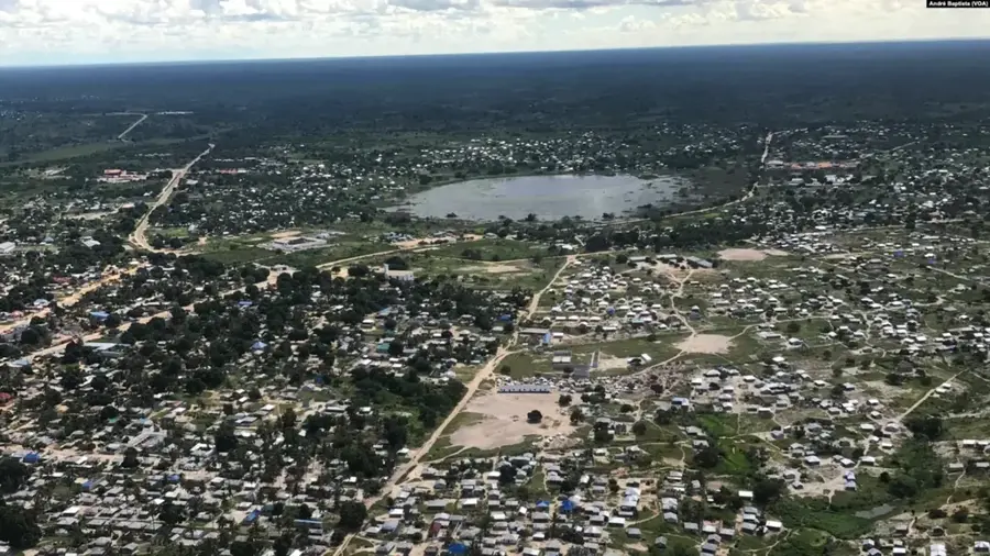
- Nearby: Mocímboa da Praia (9 km)
Best time to visit & climate
The most pleasant time to visit is Jul–Sep.
| Jan | Feb | Mar | Apr | May | Jun | Jul | Aug | Sep | Oct | Nov | Dec | |
|---|---|---|---|---|---|---|---|---|---|---|---|---|
| Avg °C | 28 | 27 | 27 | 27 | 26 | 25 | 25 | 25 | 25 | 26 | 27 | 28 |
| Rain mm | 272 | 218 | 251 | 254 | 62 | 27 | 16 | 15 | 17 | 65 | 47 | 157 |
📋 Practical info
Geography
Facts
- Length of approx 650 kilometers
- Natural border with Tanzania
- Mouth located north of Cape Delgado
- Unity Bridge opened in 2010
- Explored by David Livingstone
- Key migration corridor for elephants
Explore nearby
Notable places around
Route planner — Car & Motorhome
Where do you start? We build the route here, with stops and country notes along the way.
© OpenStreetMap contributors · OpenRouteService
Sights nearby
Frequently asked questions
What is the Rovuma known for?
Can you boat on the river?
Are there tourist facilities?
Are there crocodiles there?
Is it safe to travel?
Rovuma River: where is it located?
Rovuma River: when is the best time to visit?
Rovuma River: why is it worth visiting?

Nearby cities

More places