Plizio Visual Lab
High Atlas
Weather…
Water temperature…
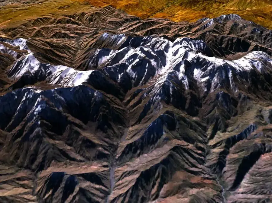
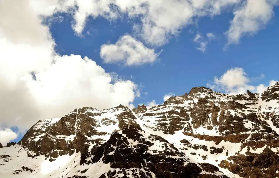
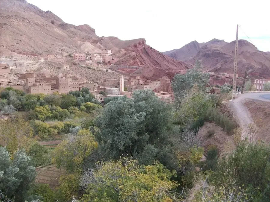
The High Atlas is the highest mountain range in North Africa, stretching over 740 kilometers through central Morocco. This formidable mountain barrier separates the Atlantic coastal regions and fertile plains from the arid Sahara Desert to the southeast. Boasting numerous peaks that rise above 4,000 meters, the High Atlas fundamentally dictates the country's climate by intercepting moisture-laden air and storing snow that feeds major river systems. The region serves as the ancestral heartland of the Berber people, whose traditional mud-brick villages are precariously perched on steep hillsides. Historically, mountain passes such as Tizi n'Tichka were vital conduits for trans-Saharan caravans traveling between Marrakesh and the desert oases. Geologically, the range consists primarily of Mesozoic sedimentary rocks uplifted during the Alpine orogeny. Today, the High Atlas is a premier destination for trekking and mountaineering, while also providing a sanctuary for diverse wildlife, including the endangered Barbary macaque.
- Location: Morocco
- Nearby: Imlil (14 km)
Best time to visit & climate
The most pleasant time to visit is May, Jun, Sep.
| Jan | Feb | Mar | Apr | May | Jun | Jul | Aug | Sep | Oct | Nov | Dec | |
|---|---|---|---|---|---|---|---|---|---|---|---|---|
| Avg °C | 7 | 8 | 11 | 13 | 17 | 22 | 27 | 26 | 21 | 17 | 11 | 8 |
| Rain mm | 36 | 39 | 47 | 26 | 16 | 6 | 6 | 10 | 18 | 26 | 63 | 45 |
📋 Practical info
Geography
Facts
- The High Atlas range extends for a distance of about 740 kilometers.
- Jbel Toubkal is the highest peak in the range at 4,167 meters.
- The mountains were formed during the Alpine orogeny in the Cenozoic era.
- The Tizi n'Tichka pass reaches an elevation of 2,260 meters.
- Snow covers the higher peaks typically from November through May.
- There are over 10 individual peaks in the range exceeding 4,000 meters.
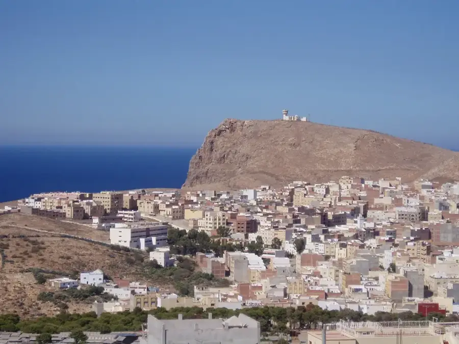
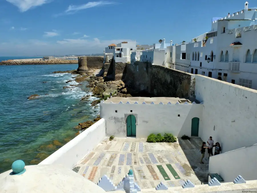
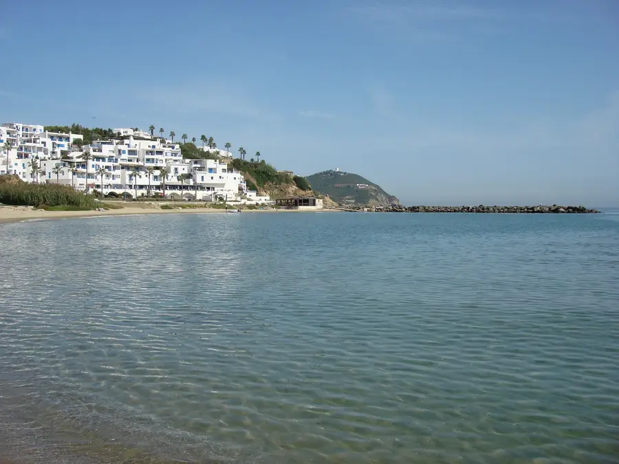
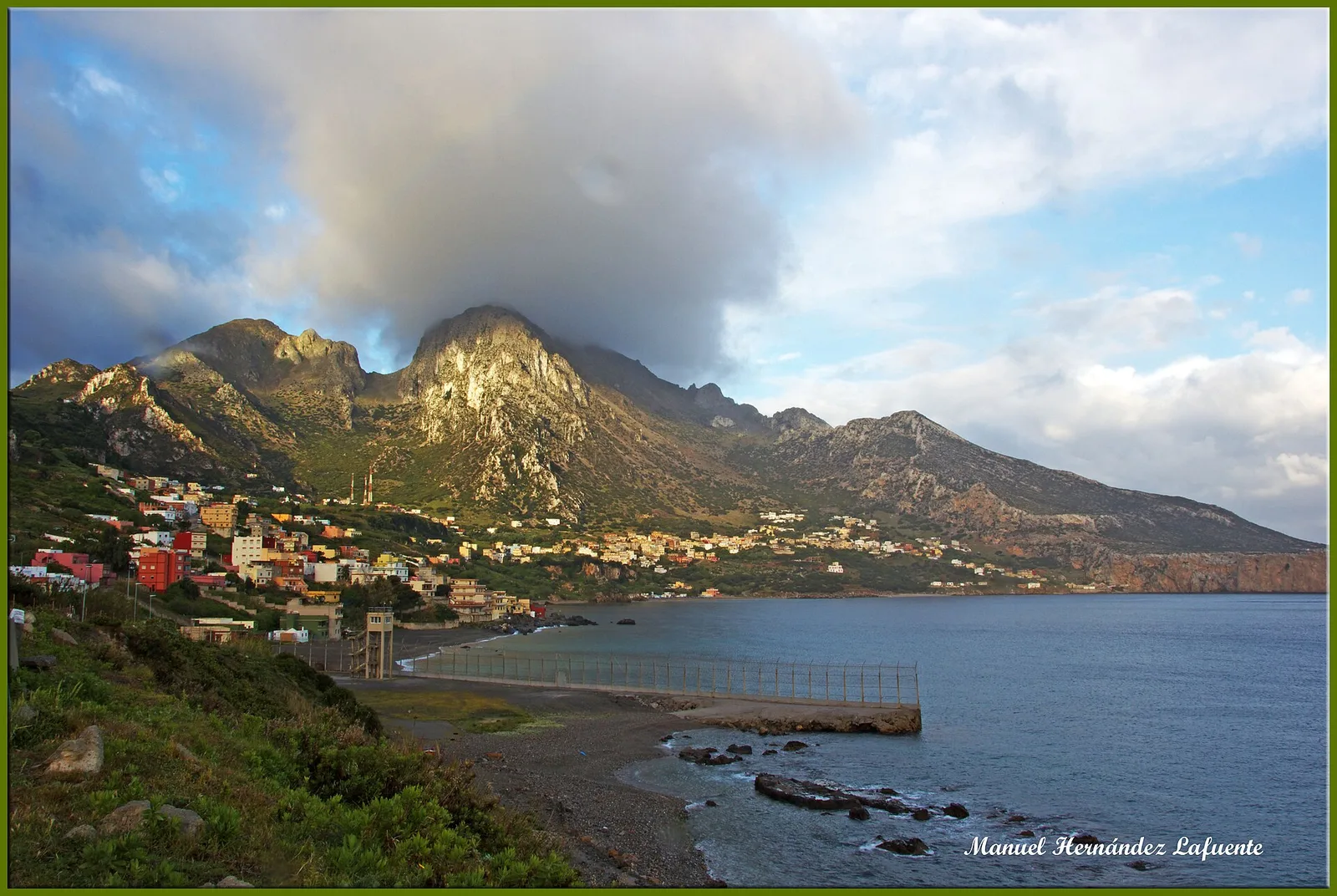
Explore nearby
Notable places around
Route planner — Car & Motorhome
Where do you start? We build the route here, with stops and country notes along the way.
© OpenStreetMap contributors · OpenRouteService
Sights nearby
Frequently asked questions
Is the High Atlas family-friendly?
How do I prepare for the hike?
What is the best travel time?
Are there accommodations in the mountains?
What is the weather risk?
High Atlas: where is it located?
High Atlas: when is the best time to visit?
High Atlas: why is it worth visiting?

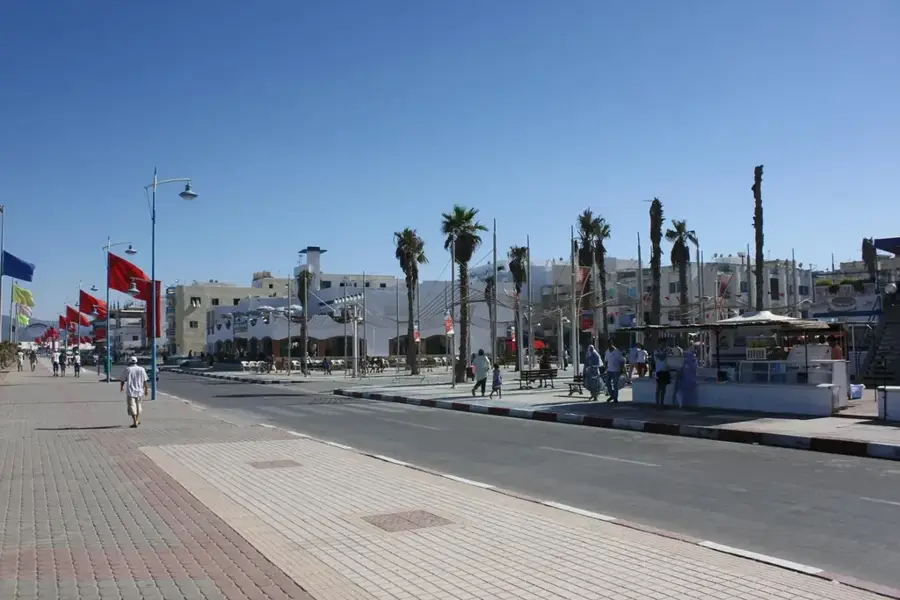
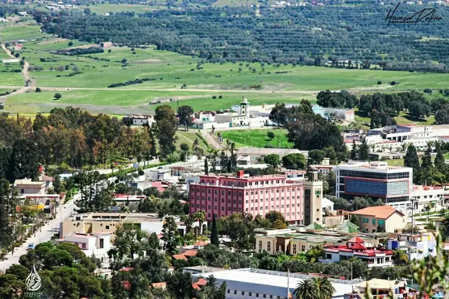
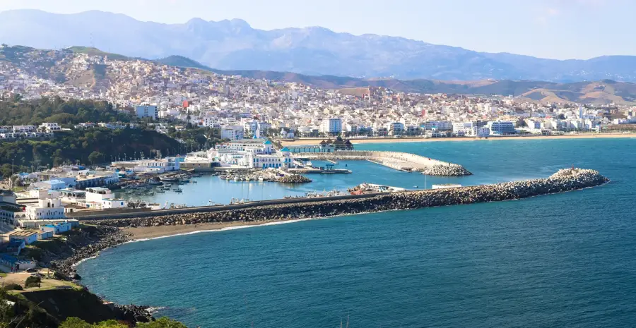
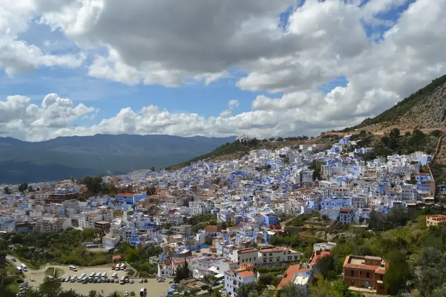
Nearby cities

More places