Plizio Visual Lab
Sierra de Zacatecas
Weather…
Water temperature…
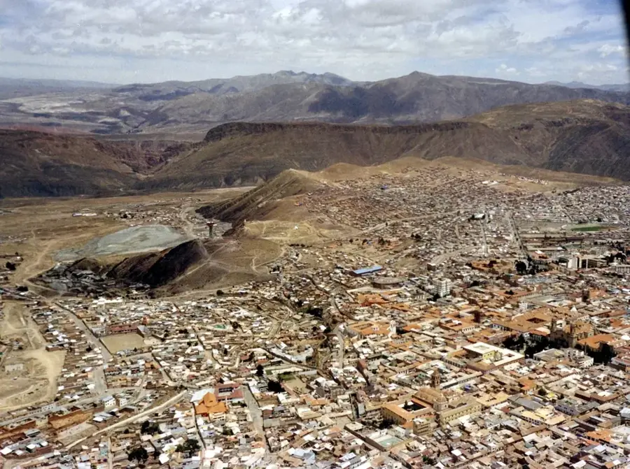
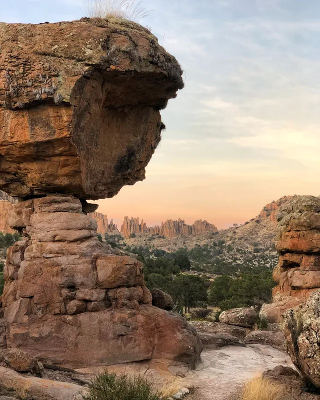
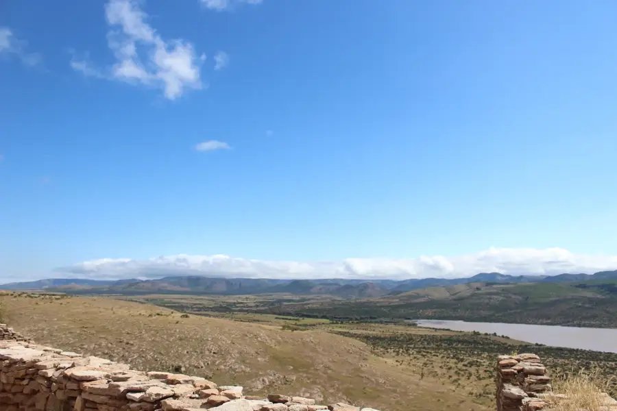
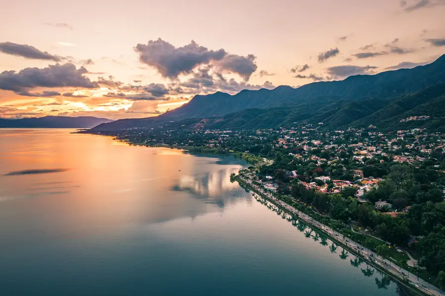
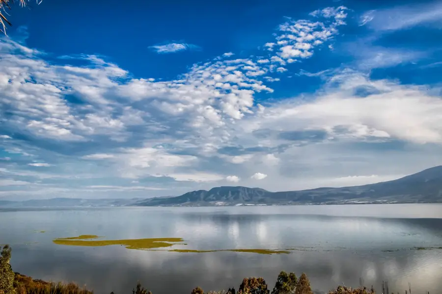
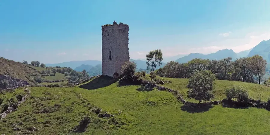
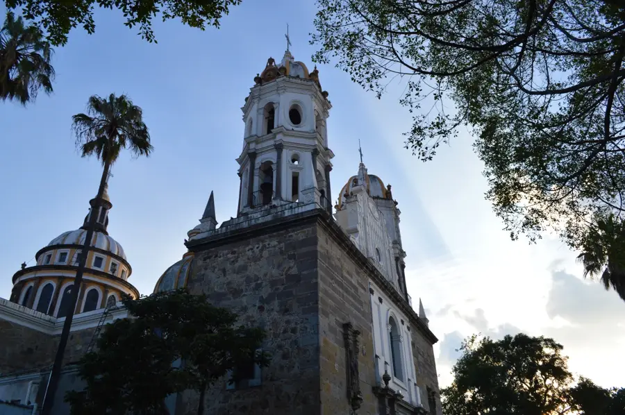
The Sierra de Zacatecas is a rugged mountain range that traverses the central part of the state of Zacatecas, forming part of the broader Mexican Plateau. Characterized by its arid to semi-arid climate, the range features dramatic rocky peaks, high-altitude grasslands, and scrub forests. These mountains are world-renowned for their exceptional mineral wealth, particularly silver, which has been mined here since the mid-16th century, turning Zacatecas into one of the most important mining centers of the Spanish Empire. The city of Zacatecas itself is built into a narrow ravine of the range, at the foot of the iconic Cerro de la Bufa. The Sierra de Zacatecas represents a quintessential landscape of the Mexican interior, where a history of intense mining activity has left a lasting legacy on the region's architecture, culture, and economy.
- Location: Mexico
- Nearby: Zapopan (48 km)
Best time to visit & climate
The most pleasant time to visit is Mar–May.
| Jan | Feb | Mar | Apr | May | Jun | Jul | Aug | Sep | Oct | Nov | Dec | |
|---|---|---|---|---|---|---|---|---|---|---|---|---|
| Avg °C | 12 | 14 | 16 | 19 | 21 | 22 | 20 | 20 | 19 | 18 | 15 | 13 |
| Rain mm | 13 | 20 | 8 | 1 | 12 | 94 | 168 | 154 | 134 | 42 | 16 | 14 |
📋 Practical info
Geography
Facts
- The Cerro de la Bufa is the range's most iconic peak, reaching an elevation of 2,610 meters.
- The Mina El Edén, located within the range under Zacatecas City, is now a major tourist attraction.
- The range is a leading producer of silver, lead, and zinc on a global scale.
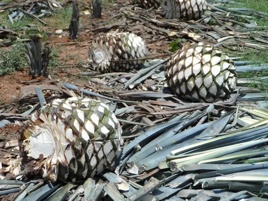
- It features a unique desert-mountain ecosystem with numerous species of cacti and agave.
- The Sierra de Zacatecas was a strategic site during both the War of Independence and the Mexican Revolution.
Explore nearby
Notable places around
Route planner — Car & Motorhome
Where do you start? We build the route here, with stops and country notes along the way.
© OpenStreetMap contributors · OpenRouteService
Sights nearby
Frequently asked questions
Is the region touristically developed?
Do I need a guide?
Are there dining options?
When is best?
How is the terrain?
Sierra de Zacatecas: where is it located?
Sierra de Zacatecas: when is the best time to visit?
Sierra de Zacatecas: why is it worth visiting?

Nearby cities


History & landmarks

More places