Plizio Visual Lab
Sierra Madre Occidental
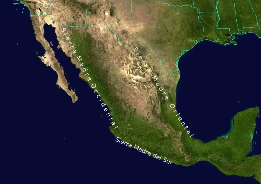
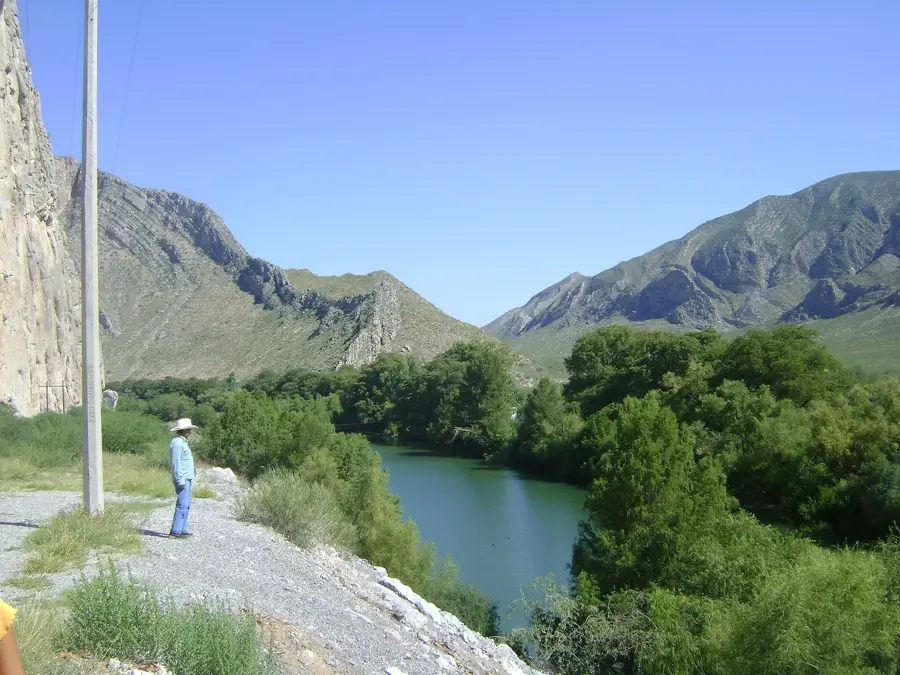
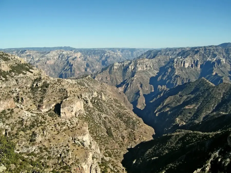
The Sierra Madre Occidental is a massive mountain system primarily stretching through western Mexico, but its northern reaches extend into the Southwestern United States, specifically Arizona and New Mexico. This U.S. portion is often referred to as the 'Madrean Sky Islands', isolated mountain ranges that rise like islands from the surrounding desert lowlands. Geologically, these mountains were formed by volcanic activity approximately 38 to 20 million years ago and are characterized by deep canyons and high plateaus. The region is a global hotspot for biodiversity, acting as a transition zone between temperate and tropical climatic zones. The Sky Islands provide sanctuary for numerous rare plant and animal species that could not survive in the lower desert environments. Historically, these rugged ranges served as strategic retreats for the Apache people. Today, the U.S. extensions of the Sierra Madre Occidental are critical for conservation, serving as vital migratory corridors for large wildlife, including jaguars.
- Location: Mexico
- Nearby: Eldorado (42 km)
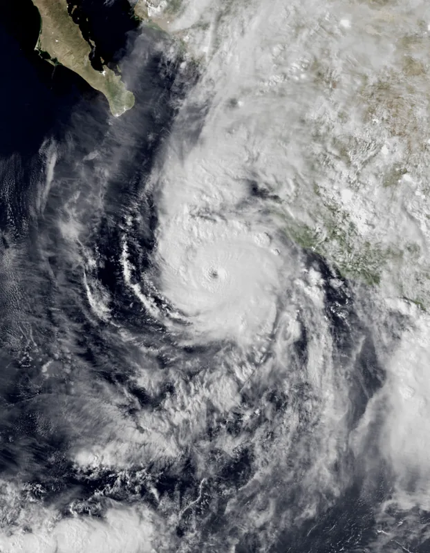
Best time to visit & climate
The most pleasant time to visit is Feb, Mar, Nov.
| Jan | Feb | Mar | Apr | May | Jun | Jul | Aug | Sep | Oct | Nov | Dec | |
|---|---|---|---|---|---|---|---|---|---|---|---|---|
| Avg °C | 18 | 19 | 22 | 24 | 27 | 28 | 26 | 26 | 25 | 24 | 22 | 18 |
| Rain mm | 11 | 16 | 6 | 2 | 3 | 44 | 215 | 209 | 158 | 44 | 22 | 20 |
📋 Practical info
Geography
Facts
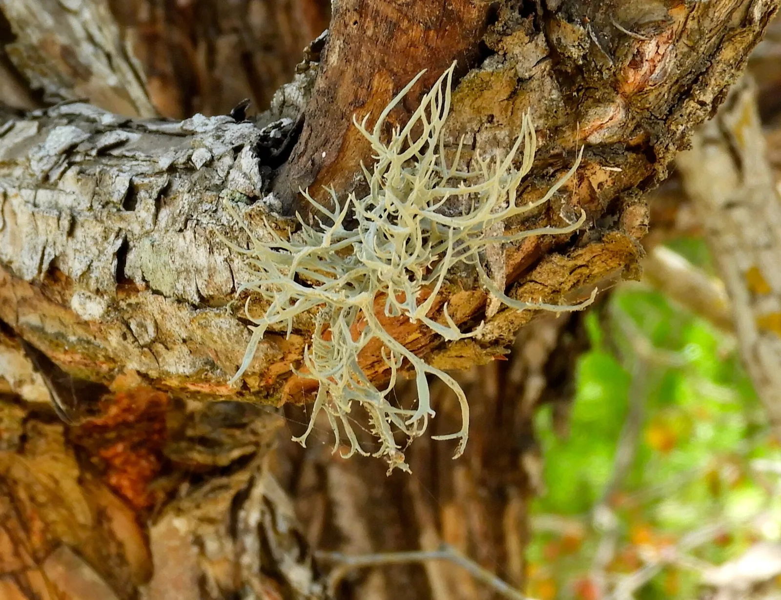
- The Sky Islands host more than 3,000 species of vascular plants.
- Mount Graham in Arizona is one of the highest peaks at 3,267 meters.
- The mountains were shaped during the Mid-Tertiary Ignimbrite Flare-up.
- It is the most diverse area for oaks and pines in North America.
- The region is home to rare birds like the Elegant Trogon.
- The ranges are separated by basins of the Chihuahuan and Sonoran deserts.
Explore nearby
Notable places around
Route planner — Car & Motorhome
Where do you start? We build the route here, with stops and country notes along the way.
© OpenStreetMap contributors · OpenRouteService
Sights nearby
Frequently asked questions
What is the hiking like?
Do I need a guide?
Best season?
Are there accommodations?
What is the main risk?
Sierra Madre Occidental: where is it located?
Sierra Madre Occidental: when is the best time to visit?
Sierra Madre Occidental: why is it worth visiting?

Nearby cities