Plizio Visual Lab
Sierra de San Pedro Mártir
Weather…
Water temperature…
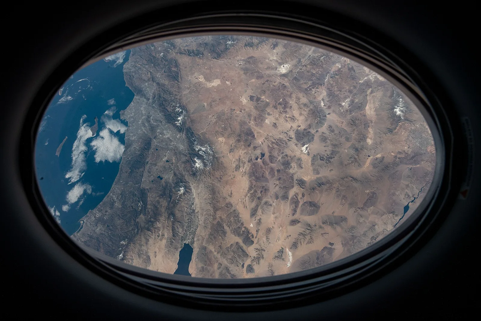
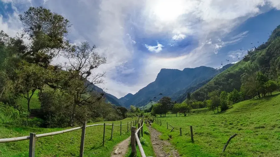
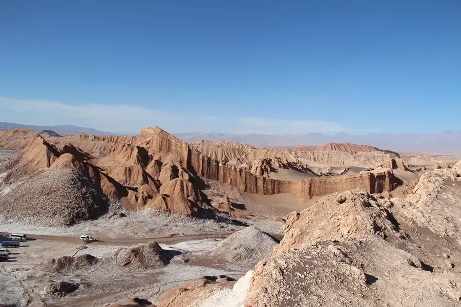
The Sierra de San Pedro Mártir is the highest mountain range on the Baja California Peninsula in Mexico, located in the central portion of the state of Baja California. Its highest point is Picacho del Diablo, which stands at 3,096 meters, making it the highest peak on the entire peninsula. Due to its exceptionally clear skies and minimal light pollution, the range is home to the National Astronomical Observatory of Mexico. The landscape is characterized by dense coniferous forests, providing a stark contrast to the surrounding arid Sonoran Desert. The range was designated a national park in 1947 to preserve its unique biodiversity, including the endangered California condor. Geologically, the mountains consist primarily of Cretaceous-era granitic rocks. The Sierra serves as a critical biological corridor and a primary source of water for the region, capturing moisture from Pacific storms.
- Location: Mexico
- Top sights: Picacho del Diablo · Mirador Picacho · Mirador al Altar
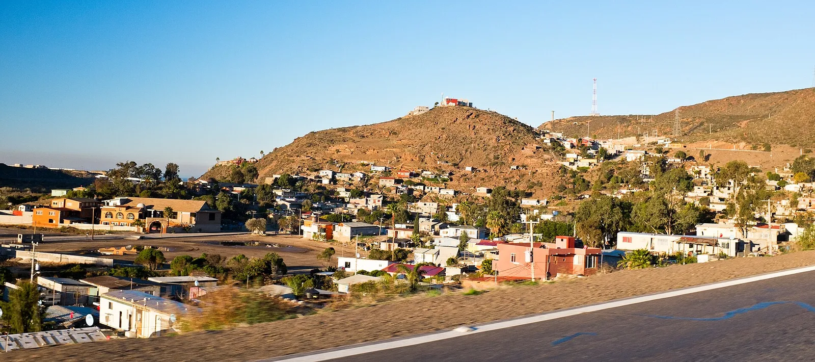
- Nearby: Fraccionamiento Palos Verdes (54 km)
Best time to visit & climate
The most pleasant time to visit is May, Jun, Sep.
| Jan | Feb | Mar | Apr | May | Jun | Jul | Aug | Sep | Oct | Nov | Dec | |
|---|---|---|---|---|---|---|---|---|---|---|---|---|
| Avg °C | 9 | 9 | 11 | 14 | 17 | 23 | 27 | 26 | 23 | 18 | 12 | 8 |
| Rain mm | 21 | 34 | 21 | 9 | 4 | 0 | 2 | 4 | 5 | 21 | 14 | 28 |
📋 Practical info
Geography
Facts
- Picacho del Diablo is the highest point at 3,096 meters.
- Home to the National Astronomical Observatory, built in 1971.
- National Park status was granted on April 26, 1947.
- A primary reintroduction site for the California condor in Mexico.
- Contains the southernmost distribution of several coniferous species.
- Receives some of the highest precipitation on the peninsula.
Explore nearby
Notable places around
Route planner — Car & Motorhome
Where do you start? We build the route here, with stops and country notes along the way.
© OpenStreetMap contributors · OpenRouteService
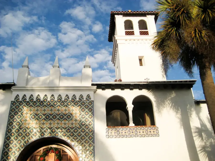
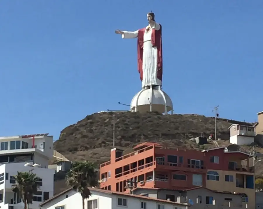
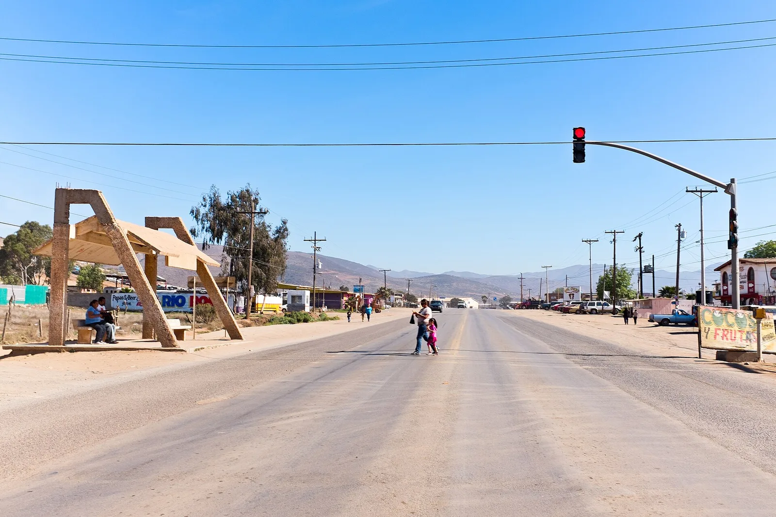
Sights in the town Sierra de San Pedro Mártir (4)
Sights nearby
Frequently asked questions
Is there an observatory?
What is the weather like?
Can you drive up?
Are there wildlife?
When should I visit the observatory?
Sierra de San Pedro Mártir: where is it located?
Sierra de San Pedro Mártir: what is there to see?
Sierra de San Pedro Mártir: when is the best time to visit?
Sierra de San Pedro Mártir: why is it worth visiting?

Nearby cities