Plizio Visual Lab
Goundam wetlands

Weather…
Water temperature…
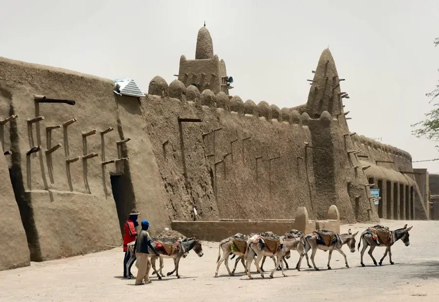
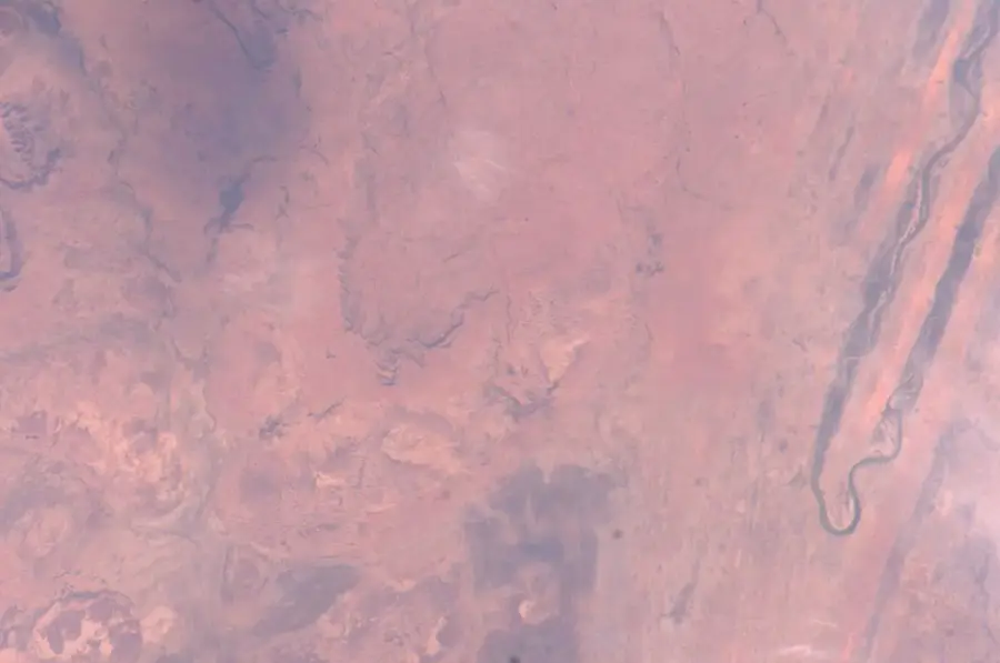
The Goundam wetlands in northern Mali constitute a complex hydrological system intricately linked to the flow of the Niger River. This region is characterized by a series of depressions and lakes, such as Lake Télé and the formerly massive Lake Faguibine, which are fed by channels from the Niger mainstem. During periods of high water levels, the otherwise barren landscape transforms into a fertile oasis, providing essential habitats for numerous fish species and waterfowl near the Saharan edge. For the local populations, including Tuareg, Songhai, and Fulani, these wetlands provide the foundation for livelihoods based on fishing, livestock herding, and flood-recession rice cultivation. However, increasing desiccation and siltation over recent decades have severely threatened the ecological balance and caused a dramatic reduction in open water surfaces. The restoration of the historical channel systems is currently a key focus for local authorities to secure agricultural productivity and preserve biological diversity in this extreme climate zone.
- Location: Mali
- Nearby: Goundam (14 km)
Best time to visit & climate
The most pleasant time to visit is Jan, Feb, Dec.
| Jan | Feb | Mar | Apr | May | Jun | Jul | Aug | Sep | Oct | Nov | Dec | |
|---|---|---|---|---|---|---|---|---|---|---|---|---|
| Avg °C | 20 | 23 | 27 | 31 | 34 | 35 | 33 | 31 | 31 | 31 | 26 | 22 |
| Rain mm | 1 | 0 | 0 | 1 | 5 | 23 | 62 | 110 | 44 | 7 | 1 | 0 |
📋 Practical info
Geography
Facts
- The Goundam system is directly connected to the Niger River via channels.
- Lake Faguibine was once among the largest lakes in West Africa.
- Fishing serves as a primary source of income for the local Songhai people.
- The region has faced severe desiccation challenges since the 1970s.
- Rice is traditionally grown using flood-recession techniques in shoreline mud.
- The wetlands are positioned at the strategic southern fringe of the Sahara Desert.
Explore nearby
Notable places around
Route planner — Car & Motorhome
Where do you start? We build the route here, with stops and country notes along the way.
© OpenStreetMap contributors · OpenRouteService
Sights nearby
Frequently asked questions
What makes Goundam Feuchtgebiete special?
When is the best time for wildlife viewing?
Are there guided tours?
Is the area easily accessible?
What should one keep in mind during a visit?
Goundam wetlands: where is it located?
Goundam wetlands: when is the best time to visit?
Goundam wetlands: why is it worth visiting?

Nearby cities


Nature
More places