Plizio Visual Lab
Bourem
ℹ️Practical info — Bourem
▾
🌤 Weather — 5 days
📍 Nearby
Sights nearby
💡 Tips
- River travel by traditional pinasse to Gao or Timbuktu can be arranged, but it requires patience and direct negotiation with boat operators.
- Dress modestly to respect the conservative local Islamic culture, ensuring shoulders and knees are covered.
- The dry harmattan winds can be very dusty; bring a light scarf or face covering to protect yourself when walking outdoors.
- Always verify the current security situation through official channels before traveling to this region.
🍽 Food
Freshly caught from the Niger River and usually grilled or fried at small local riverside eateries.
Rice served with a rich, thick peanut sauce, a filling local favorite.
The traditional Malian tea served in three rounds, an essential part of local hospitality.
🛍 Shopping · 🧘 Quiet spots
The best place to find fresh river fish, slabs of desert salt, and local grains.
Look for specialized artisans selling handmade leather goods and silver jewelry.
A very peaceful spot, especially at sunset, to watch the pirogues gliding on the water.
Sit quietly in the shade near the market edge and enjoy the slow, methodical tea-making process.
Water temperature…
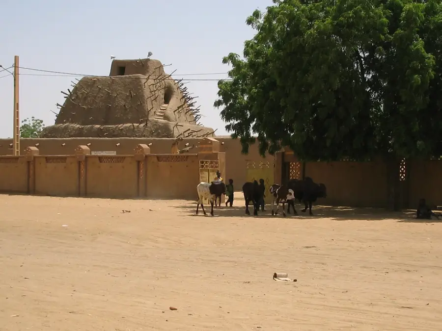
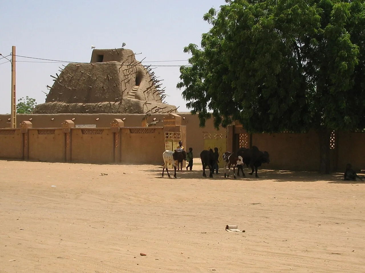
Bourem is a strategic river town in northern Mali, located in the Gao Region at the exact point where the Niger River completes its great bend and turns southward. Historically, Bourem was a critical junction for trans-Saharan trade and served as an important administrative post during the Songhai Empire. The town acts as the gateway to the Tilemsi Valley, a prehistoric riverbed that provides a major route into the heart of the Sahara toward Algeria. The local economy is sustained by flood-recession rice farming, river fishing, and livestock herding by the surrounding nomadic groups. Bourem is also notable for its phosphate deposits, which represent a significant mineral resource for Mali's agricultural sector. Its population is a diverse mix of Songhai, Tuareg, and Arab peoples, contributing to a rich cultural landscape centered on trade. The town's architecture features traditional Sudano-Sahelian mud structures, reflecting its deep historical roots. As the administrative capital of the Bourem Cercle, it remains a vital hub for regional transport, security, and commerce in the arid north.
Explore on the map
How well do you know Mali?
Find cities, landscapes and regions in 10 varied challenges on the interactive map.
Your journey, your memory
A postcard from Bourem
Turn your own photo into a personal postcard with a local stamp. Free and no sign-up required.
Create a postcard- Location: Mali
- Nearby: Gao (83 km)
- Population: ~42.371 (2024)
Best time to visit & climate
The most pleasant time to visit is Jan, Feb, Dec.
| Jan | Feb | Mar | Apr | May | Jun | Jul | Aug | Sep | Oct | Nov | Dec | |
|---|---|---|---|---|---|---|---|---|---|---|---|---|
| Avg °C | 20 | 24 | 28 | 32 | 35 | 36 | 34 | 31 | 32 | 30 | 26 | 22 |
| Rain mm | 0 | 0 | 0 | 1 | 3 | 19 | 53 | 100 | 31 | 4 | 0 | 0 |
Geography
Facts
- Located at the northernmost point of the Great Bend of the Niger
- Strategic gateway to the Tilemsi Valley and trans-Saharan routes
- Home to major phosphate deposits used in national agriculture
- Former strategic garrison and administrative post of the Songhai Empire
- Key transportation junction between Gao, Timbuktu, and Kidal
- Inhabited by a diverse mix of Songhai, Tuareg, and Arab cultures
Explore nearby
Notable places around

Route planner — Car & Motorhome
Where do you start? We build the route here, with stops and country notes along the way.
© OpenStreetMap contributors · OpenRouteService
Sights in the town Bourem (1)
Frequently asked questions
What is typical for Bourem?
Which season is the best?
How long is a visit enough?
Is there tourism infrastructure there?
What should you know when visiting?
Bourem: where is it located?
Bourem: when is the best time to visit?
Bourem: why is it worth visiting?

Nearby cities
History & landmarks
More places