Plizio Visual Lab
Sourou Depression
Weather…
Water temperature…
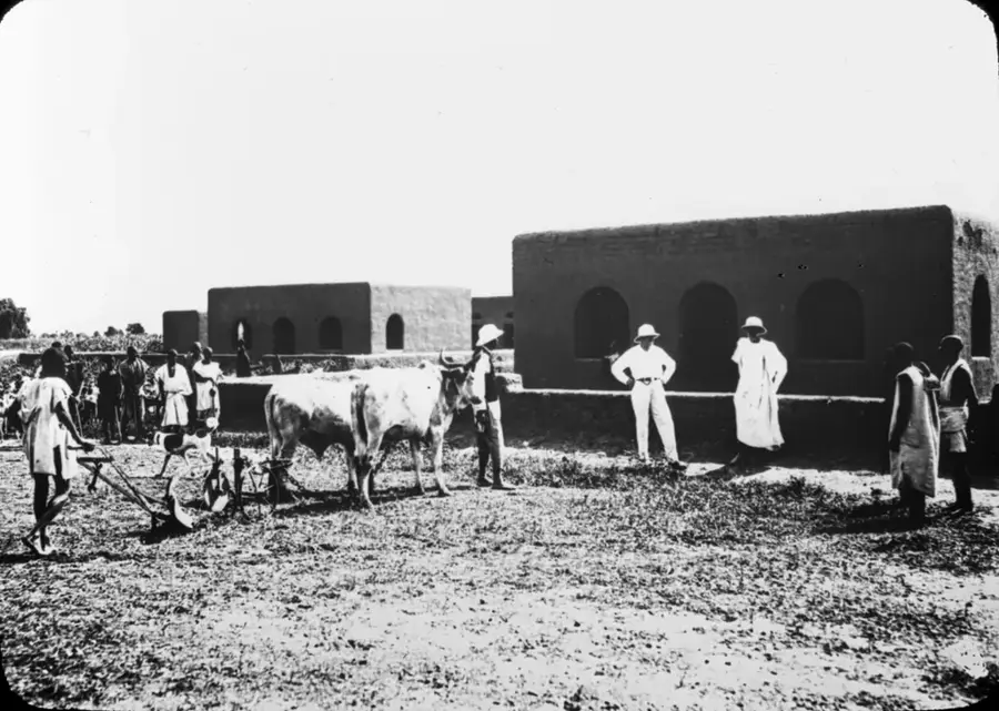
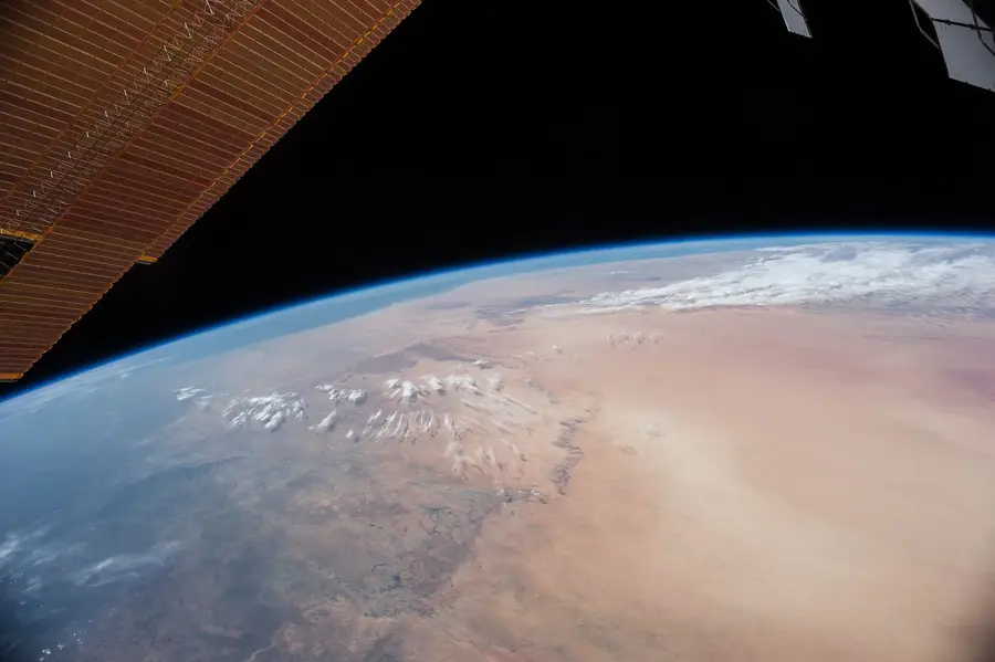
The Sourou Depression is a significant hydrogeographical basin located on the border between Burkina Faso and Mali. This depression is fed by the Sourou River, a tributary of the Mouhoun (Black Volta), which is notable for its extremely low gradient that can cause the current to reverse during high-water seasons. The region is characterized by extensive wetlands and seasonal floodplains that support exceptional biodiversity and serve as a vital habitat for migratory birds. Historically, the depression has been a resource-rich area contested by various local communities for its water and fertile lands. In recent decades, large-scale irrigation projects have been developed to utilize the depression for intensive rice cultivation and vegetable production. The climate features alternating wet and dry seasons, sustaining a complex ecosystem of marshes and gallery forests. Despite agricultural development, the Sourou Depression remains an ecologically sensitive zone that requires careful management of its shared water resources.
Explore on the map
How well do you know Mali?
Find cities, landscapes and regions in 10 varied challenges on the interactive map.
Your journey, your memory
A postcard from Sourou Depression
Turn your own photo into a personal postcard with a local stamp. Free and no sign-up required.
Create a postcard- Location: Mali
- Nearby: Bankass (22 km)
Best time to visit & climate
The most pleasant time to visit is Jan, Feb, Dec.
| Jan | Feb | Mar | Apr | May | Jun | Jul | Aug | Sep | Oct | Nov | Dec | |
|---|---|---|---|---|---|---|---|---|---|---|---|---|
| Avg °C | 23 | 26 | 30 | 33 | 34 | 32 | 29 | 27 | 27 | 28 | 27 | 24 |
| Rain mm | 0 | 0 | 1 | 7 | 23 | 81 | 155 | 222 | 109 | 23 | 1 | 0 |
📋 Practical info
Geography
Facts
- The Sourou River has an extremely low gradient of just a few centimeters per kilometer.
- A dam constructed in 1984 regulates water levels for regional irrigation projects.
- The depression encompasses approximately 10,000 hectares of cultivable land.
- More than 200 bird species have been identified within the basin's wetlands.
- During the dry season, the depression serves as an essential grazing area for livestock.
- The river's flow can reverse when the Mouhoun River experiences high water levels.
Explore nearby
Notable places around
Route planner — Car & Motorhome
Where do you start? We build the route here, with stops and country notes along the way.
© OpenStreetMap contributors · OpenRouteService
Sights nearby
Frequently asked questions
What is special about the Sourou-Senke?
Can you watch birds there?
What time is suitable for a visit?
Is there infrastructure for tourists there?
How do you get to the depression?
Sourou Depression: where is it located?
Sourou Depression: when is the best time to visit?
Sourou Depression: why is it worth visiting?

Nearby cities

History & landmarks
More places