Plizio Visual Lab
Diabaly
ℹ️Practical info — Diabaly
▾
🌤 Weather — 5 days
📍 Nearby
Sights nearby
💡 Tips
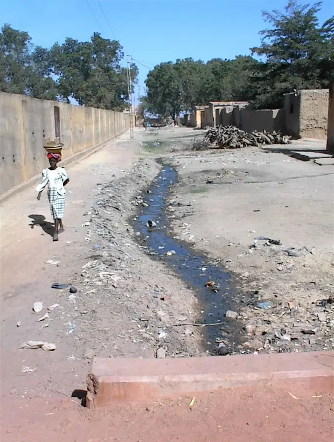
- Bring strong mosquito repellent, as the irrigation canals breed many insects.
- Travel during daylight hours; roads can be difficult to navigate at night.
- Learning a few words of Bambara will open many doors with the locals.
- Dress modestly and respect the local agricultural lifestyle.
🍽 Food
Peanut butter stew often served with rice at small eateries.
Freshly caught fish from the local waters.
Buy them directly from market stalls when in season.
🛍 Shopping · 🧘 Quiet spots
The best place to buy local produce, spices, and fabrics.
Look for handmade tools and woven baskets.
Take a peaceful walk along the vast water network.
Quiet areas to observe traditional farming practices.
Water temperature…
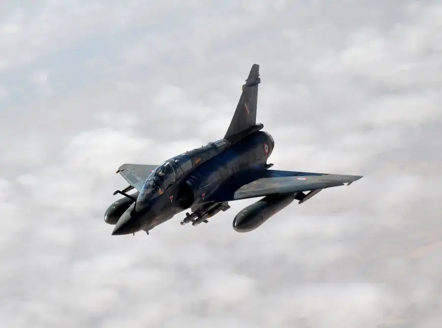
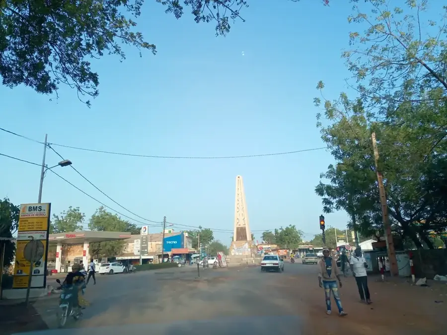
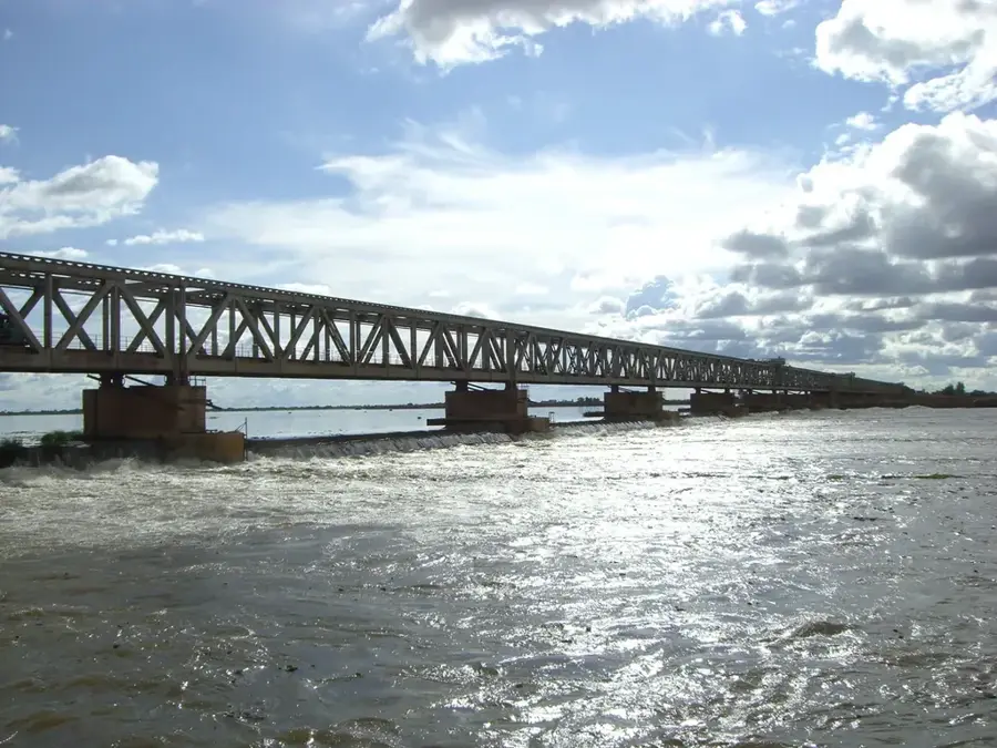
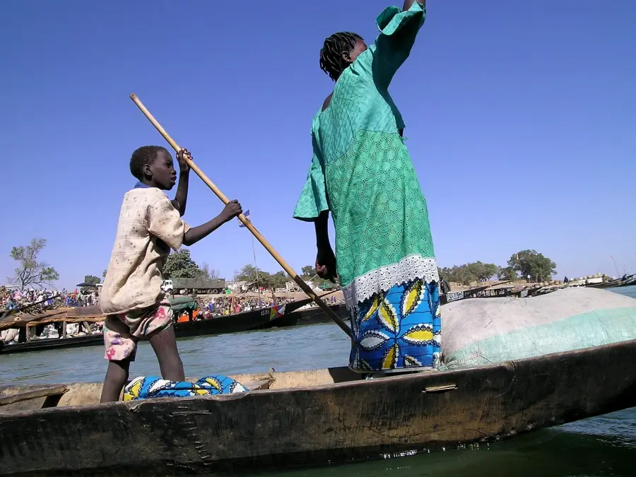
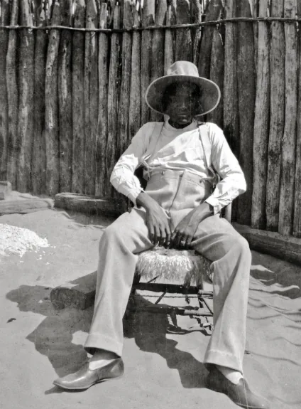
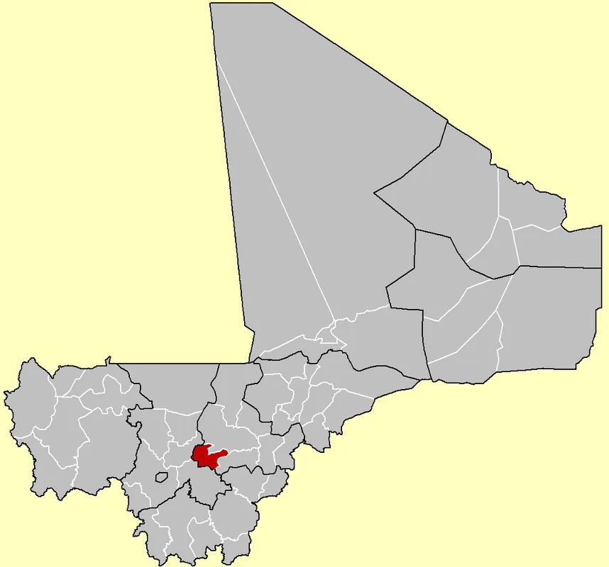
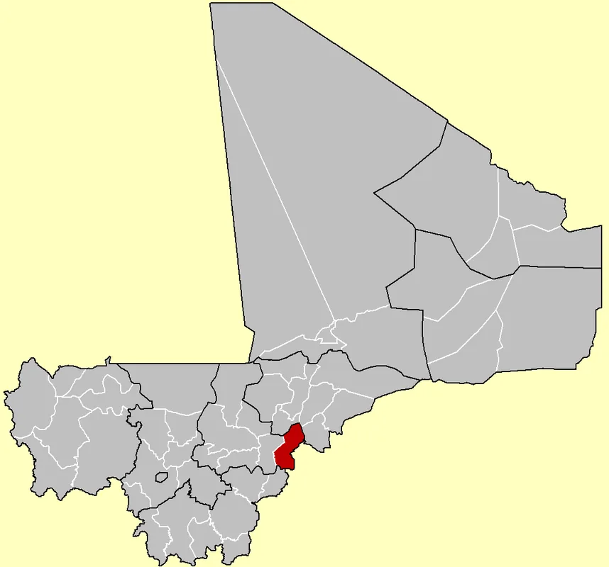
Diabaly is a strategically significant town located in the Niono Cercle within the Ségou Region of central Mali. The town is an integral part of the Office du Niger, one of West Africa's largest irrigation schemes, which facilitates large-scale rice cultivation in the semi-arid landscape. Geographically, Diabaly lies along the Canal du Sahel, which is indispensable for providing water to the surrounding agricultural fields. The town gained international prominence in January 2013 during the Malian conflict when Islamist rebels briefly occupied the settlement before it was liberated by Operation Serval. These events highlighted Diabaly's importance as a gateway toward the capital, Bamako, and the strategic military base in Sévaré. Besides rice production, livestock farming plays a major economic role for the local population, which comprises various ethnic groups such as the Bambara and Peul. The town's architecture features a mix of traditional earthen dwellings and functional administrative buildings dating back to the colonial era.
- Location: Mali
- Nearby: Niono (29 km)
Best time to visit & climate
The most pleasant time to visit is Jan, Feb, Dec.
| Jan | Feb | Mar | Apr | May | Jun | Jul | Aug | Sep | Oct | Nov | Dec | |
|---|---|---|---|---|---|---|---|---|---|---|---|---|
| Avg °C | 22 | 26 | 30 | 33 | 35 | 33 | 29 | 27 | 28 | 29 | 27 | 23 |
| Rain mm | 0 | 0 | 0 | 4 | 19 | 64 | 147 | 198 | 94 | 17 | 1 | 0 |
Geography
Facts
- Center of rice production in the Office du Niger
- Situated on the Canal du Sahel
- Scene of intense fighting in January 2013
- Liberated by French forces on January 21, 2013
- Belongs administratively to the Ségou Region
- Critical transit hub in the Niono basin
Explore nearby
Notable places around
Route planner — Car & Motorhome
Where do you start? We build the route here, with stops and country notes along the way.
© OpenStreetMap contributors · OpenRouteService
Frequently asked questions
Why visit Diabaly?
How long to stay?
Access?
Is it safe?
Best season?
Diabaly: where is it located?
Diabaly: when is the best time to visit?
Diabaly: why is it worth visiting?

Nearby cities

History & landmarks
More places