Plizio Visual Lab
Koulikoro Hills

Weather…
Water temperature…
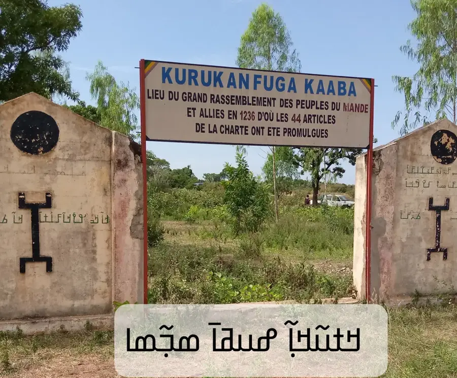
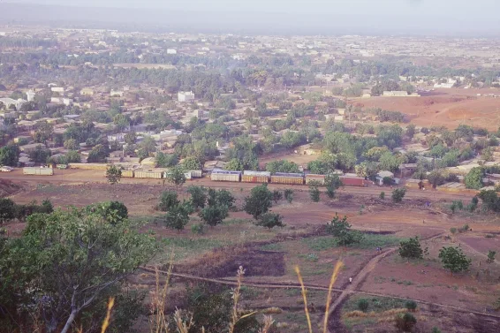
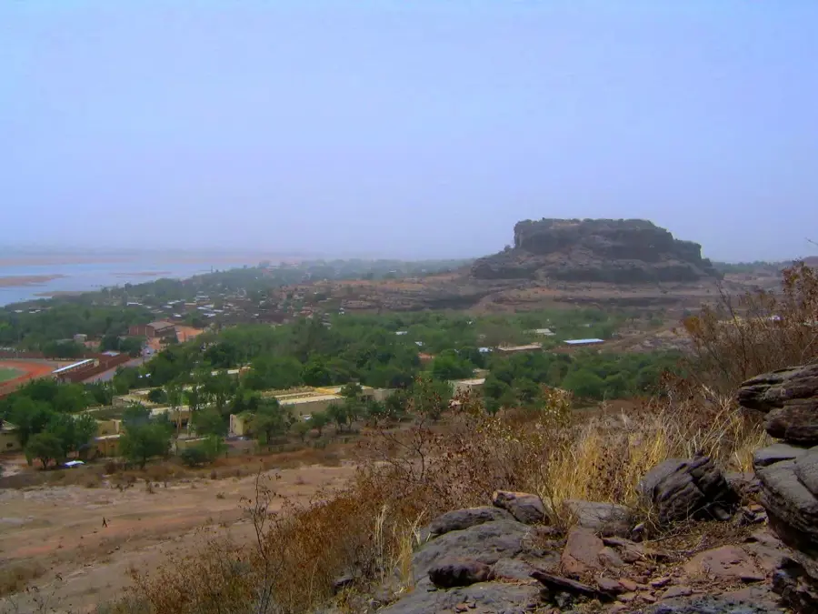
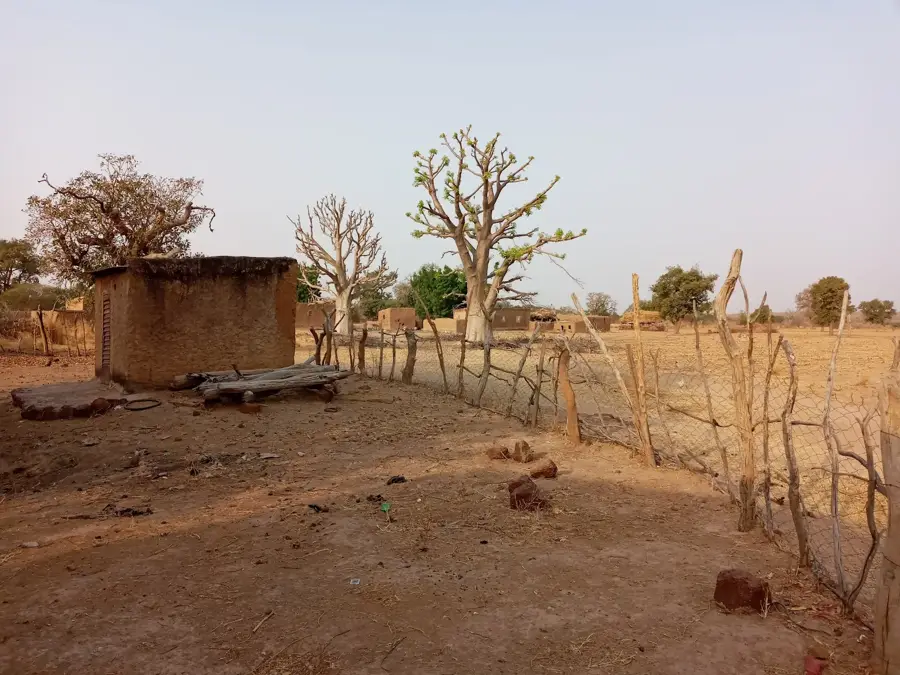
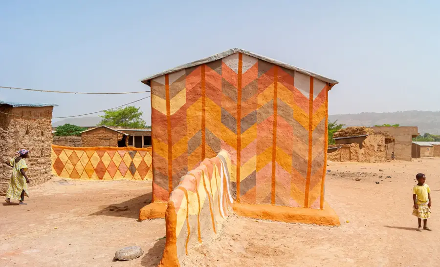
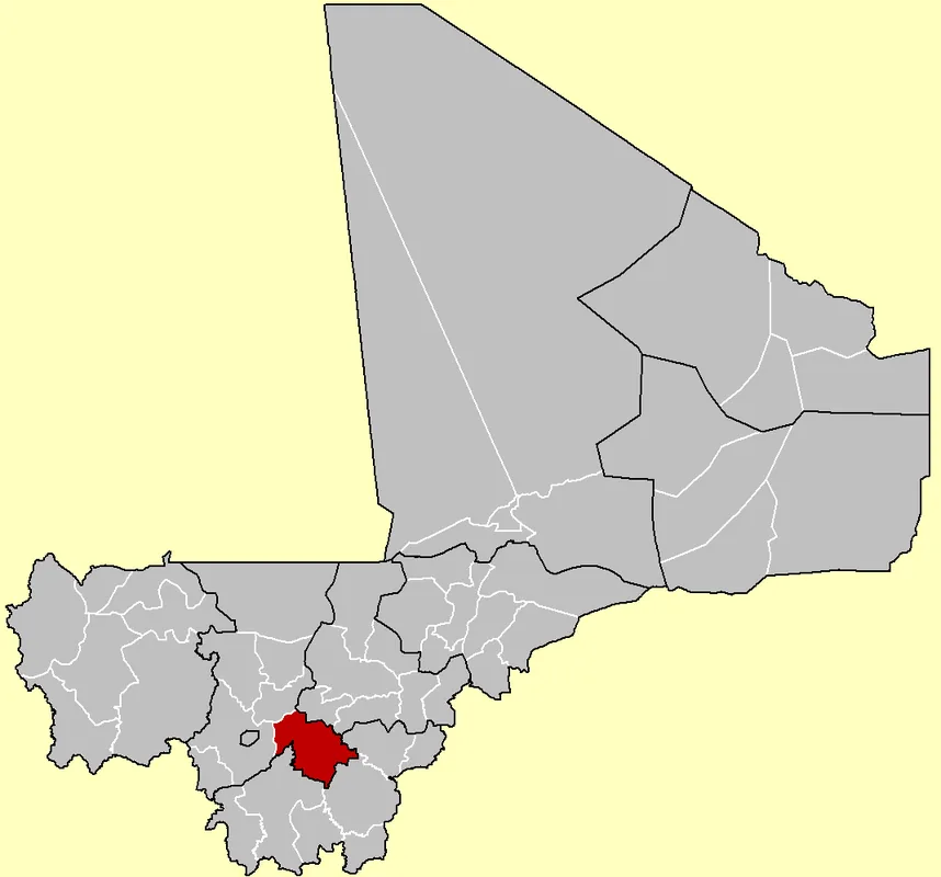
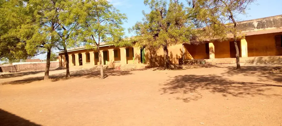
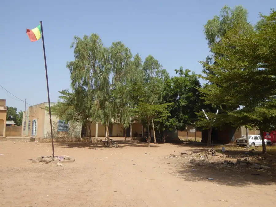
The Koulikoro Hills extend across southwestern Mali, representing a significant topographical feature situated along the upper reaches of the Niger River. Composed primarily of lateritic rock, these elevations provide a strategic vantage point over the surrounding river valley, a factor that historically dictated the development of Koulikoro town in the 19th century. The region functions as a vital transition zone between the semi-arid Sahelian belt and the more humid Sudanese savannah, with average altitudes ranging from 300 to 400 meters above sea level. Geologically, the hills are the product of extensive erosional cycles over millions of years, resulting in a landscape of rugged plateaus and seasonal watercourses. For the local Bambara people, many of these rocky outcrops hold spiritual importance and are integrated into traditional cosmologies. Today, the area is economically linked to the Dakar-Niger railway terminus, which remains a cornerstone of the region's logistical network and commercial activity.
- Location: Mali
- Nearby: Koulikoro (17 km)
Best time to visit & climate
The most pleasant time to visit is Jan, Feb, Dec.
| Jan | Feb | Mar | Apr | May | Jun | Jul | Aug | Sep | Oct | Nov | Dec | |
|---|---|---|---|---|---|---|---|---|---|---|---|---|
| Avg °C | 23 | 26 | 30 | 33 | 33 | 30 | 28 | 26 | 26 | 28 | 26 | 23 |
| Rain mm | 1 | 0 | 7 | 22 | 47 | 119 | 207 | 272 | 157 | 46 | 2 | 0 |
📋 Practical info
Geography
Facts
- The hills reach an average elevation of 300 to 450 meters above sea level.
- Koulikoro serves as the terminus for the historic Dakar-Niger railway line.
- The geological composition consists mainly of ferruginous laterite and sandstone.
- The region receives an annual rainfall of approximately 700 to 1,000 mm.
- Koulikoro was officially established as a French military post in 1884.
- The hills are located about 60 kilometers northeast of Mali's capital, Bamako.
Explore nearby
Notable places around
Route planner — Car & Motorhome
Where do you start? We build the route here, with stops and country notes along the way.
© OpenStreetMap contributors · OpenRouteService
Sights nearby
Frequently asked questions
How much time do I need?
Is it easy to park there?
Are there hiking trails?
Is it family-friendly?
Are there toilets?
Koulikoro Hills: where is it located?
Koulikoro Hills: when is the best time to visit?
Koulikoro Hills: why is it worth visiting?

Nearby cities
History & landmarks

More places