Plizio Visual Lab
Kita
ℹ️Practical info — Kita
▾
🌤 Weather — 5 days
📍 Nearby
Sights nearby
💡 Tips
- The Catholic pilgrimage site Notre-Dame de Kita brings many visitors in November; plan ahead.
- Kita is known for its peanut cultivation. Visit the agricultural markets in the morning.
- Mount Kita (Mont Kita) dominates the landscape. A climb provides a great view of the city.
- The climate is typically hot for Mali. Drink plenty of water and avoid the midday sun.
🍽 Food
Since Kita is the peanut capital, you must try this rich peanut butter meat stew served with rice.
Often fried or served in a sauce, this freshwater fish is a local specialty.
Roasted or boiled, they make the first-rate local snack while wandering the market.
🛍 Shopping · 🧘 Quiet spots
The best place to buy freshly roasted peanuts and local agricultural produce.
Look for colorful, traditionally printed cotton fabrics at the textile stalls.
A walk at the base of the mountain provides some nature away from the urban bustle.
Outside of pilgrimage season, the church grounds are a peaceful place of reflection.
Water temperature…
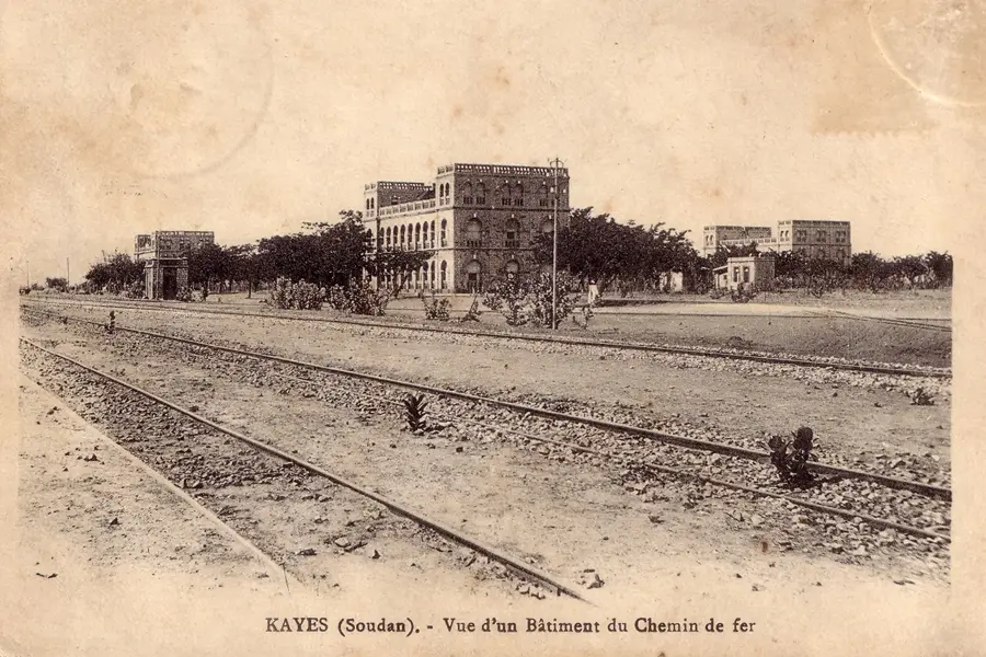
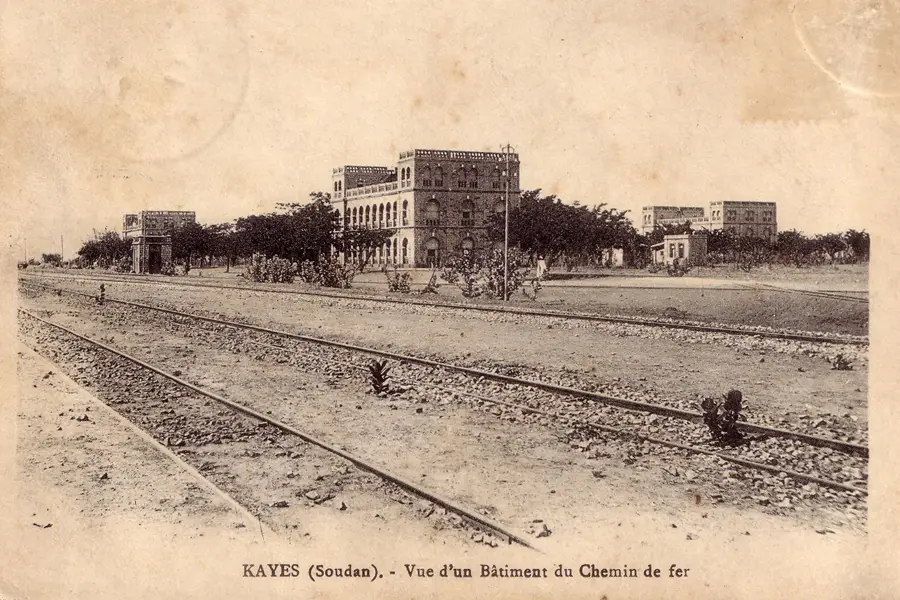
Kita is a dynamic town in western Mali, located in the Kayes Region at the foot of the majestic Mount Kita. The town is renowned for its strategic position along the Dakar-Niger railway line, which has established it as a major commercial center for agricultural products like peanuts and cotton. Historically, Kita was a significant site for colonial administration and served as a base for expeditions venturing into the African interior. Uniquely for the region, Kita is a prominent Christian pilgrimage site, drawing thousands of faithful every year for a Catholic pilgrimage to the statue of the Virgin Mary. The town's culture is deeply embedded in Mandé traditions, and Kita is considered a cradle of Griot culture, where music and oral storytelling play a pivotal role. The surrounding landscape features fertile soils and striking red rock formations that give the area a distinctive character. Today, the town is a key educational and administrative hub in the west of the country while carefully preserving its rich cultural heritage. The blend of religious significance, economic vitality, and historical depth makes Kita a unique destination in Malian geography.
Explore on the map
How well do you know Mali?
Find cities, landscapes and regions in 10 varied challenges on the interactive map.
Your journey, your memory
A postcard from Kita
Turn your own photo into a personal postcard with a local stamp. Free and no sign-up required.
Create a postcard- Location: Mali
- Population: ~75.598 (2025)
Best time to visit & climate
The most pleasant time to visit is Jan, Nov, Dec.
| Jan | Feb | Mar | Apr | May | Jun | Jul | Aug | Sep | Oct | Nov | Dec | |
|---|---|---|---|---|---|---|---|---|---|---|---|---|
| Avg °C | 25 | 28 | 31 | 33 | 33 | 30 | 27 | 25 | 26 | 26 | 25 | 24 |
| Rain mm | 1 | 1 | 4 | 19 | 51 | 161 | 243 | 319 | 199 | 66 | 2 | 0 |
Geography
Facts
- Kita is positioned on the railway line between Bamako (180 km) and Kayes.
- Mount Kita is a prominent sandstone formation overlooking the town.
- The population of the commune was estimated at 48,947 in the 2009 census.
- Kita is famous for its lineages of Griots, notably the Diabaté family.
- The town is home to Mali's most important Catholic pilgrimage site.
- The Kita region is a major production area for peanuts in West Africa.
Explore nearby
Notable places around
Route planner — Car & Motorhome
Where do you start? We build the route here, with stops and country notes along the way.
© OpenStreetMap contributors · OpenRouteService
Sights in the town Kita (1)
Frequently asked questions
What is Kita?
What can you see in Kita?
How to travel there?
Best time to visit?
Is Kita a tourist destination?
Kita: where is it located?
Kita: when is the best time to visit?
Kita: why is it worth visiting?

Nearby cities
History & landmarks
More places