Plizio Visual Lab
Ranomafana Hills

Weather…
Water temperature…
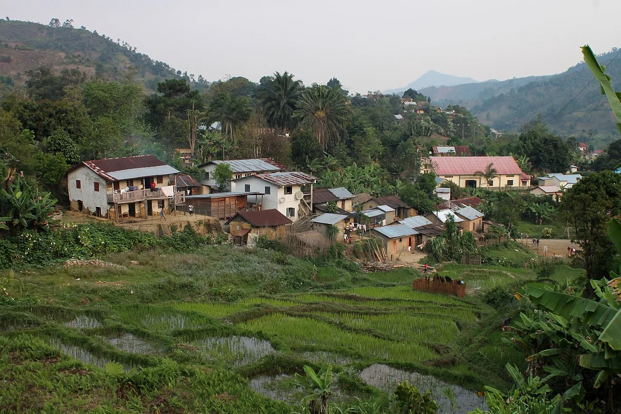
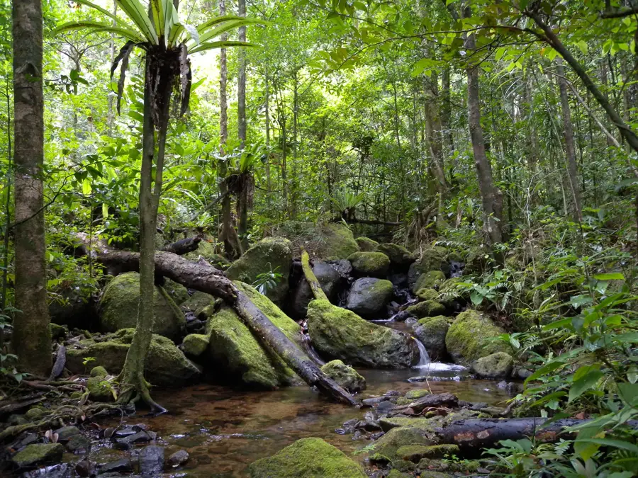
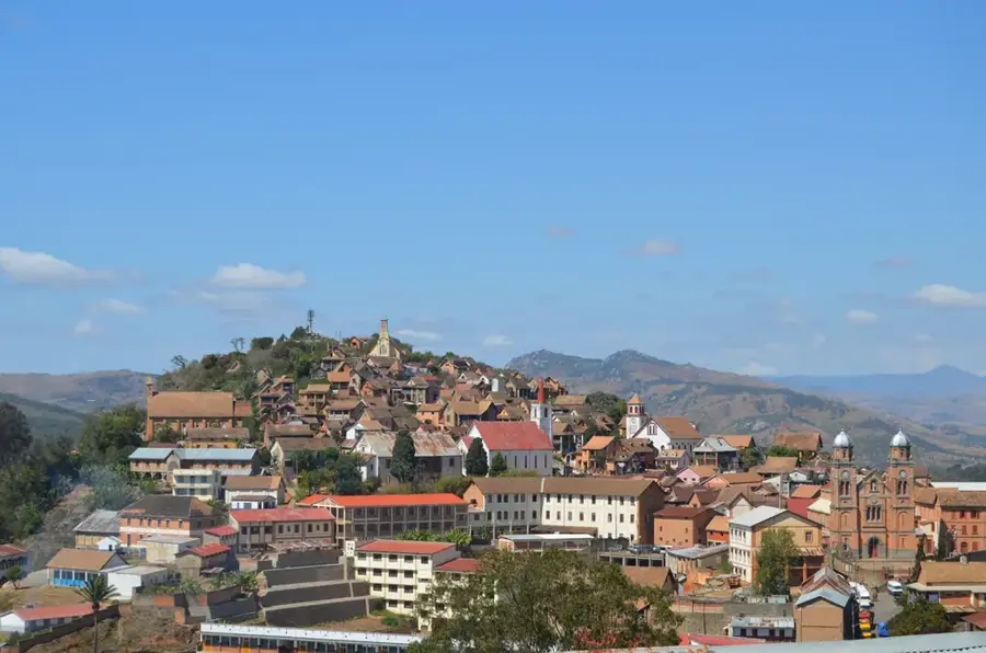
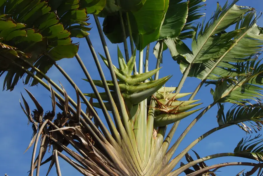
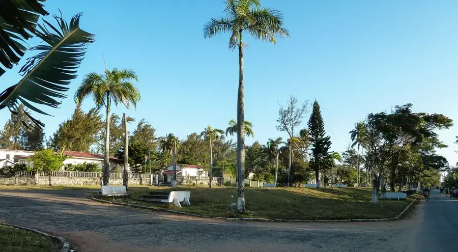
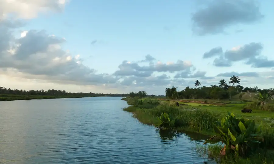
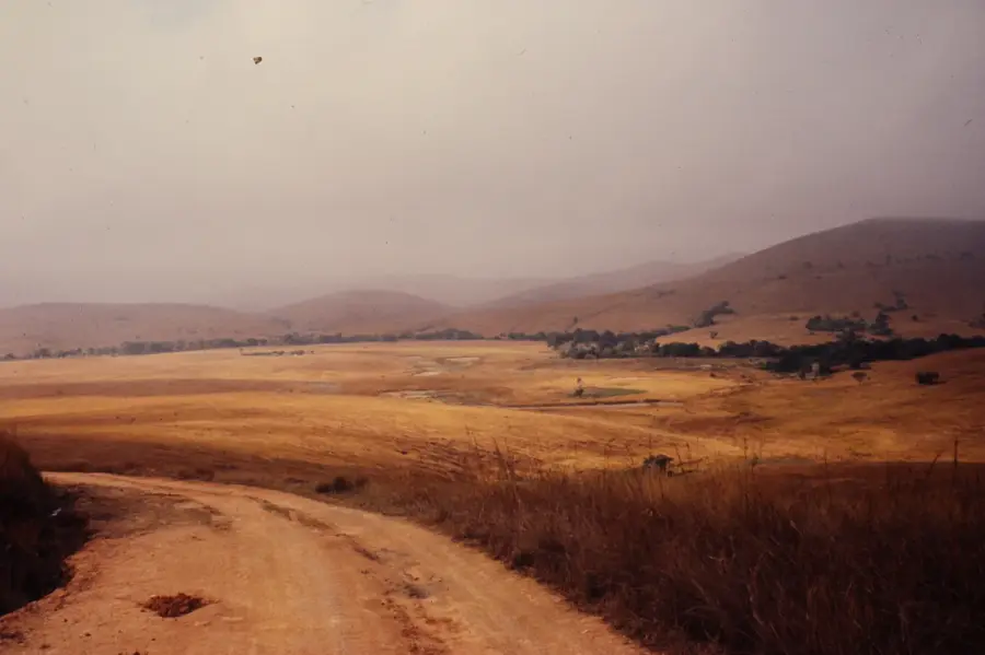
The Ranomafana Hills in southeastern Madagascar are part of an extensive mountain relief famous for its dense, evergreen montane rainforests. The area gained international prominence in 1991 with the establishment of Ranomafana National Park following the discovery of the Golden Bamboo Lemur. The topography is characterized by steep slopes, deep ravines, and the Namorona River, which winds through the rugged terrain. These hills act as a natural barrier to moist trade winds, resulting in near-constant rainfall and extremely high humidity levels throughout the year. Beyond its rich fauna, the region is home to numerous natural hot springs believed to have healing properties, which also give the area its name. The relief serves as a vital water catchment for the surrounding lowlands and supports an ecosystem containing thousands of endemic plant species. Today, the Ranomafana Hills are a global center for ecological research and a cornerstone of sustainable tourism on the island.
- Location: Madagascar
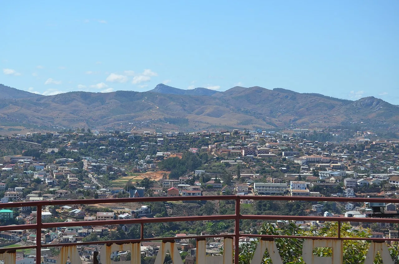
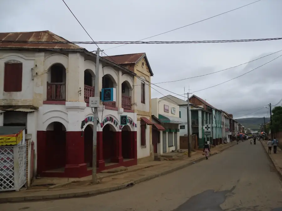
- Nearby: Ambohimahasoa (39 km)
Best time to visit & climate
The most pleasant time to visit is Aug–Oct.
| Jan | Feb | Mar | Apr | May | Jun | Jul | Aug | Sep | Oct | Nov | Dec | |
|---|---|---|---|---|---|---|---|---|---|---|---|---|
| Avg °C | 22 | 21 | 21 | 20 | 18 | 16 | 15 | 15 | 17 | 19 | 21 | 22 |
| Rain mm | 456 | 365 | 332 | 152 | 103 | 98 | 92 | 49 | 49 | 105 | 215 | 326 |
📋 Practical info
Geography
Facts
- The national park was established in 1991 to protect the Golden Bamboo Lemur.
- The name Ranomafana means 'hot water' in Malagasy, referring to the thermal springs.
- The terrain covers elevations ranging from 600 to over 1,200 meters above sea level.
- The Namorona River creates several dramatic waterfalls as it flows through the hills.
- More than 115 bird species have been recorded in the area, many unique to Madagascar.
- Researchers have identified 12 distinct lemur species within the forest canopy.
Explore nearby
Notable places around
Route planner — Car & Motorhome
Where do you start? We build the route here, with stops and country notes along the way.
© OpenStreetMap contributors · OpenRouteService
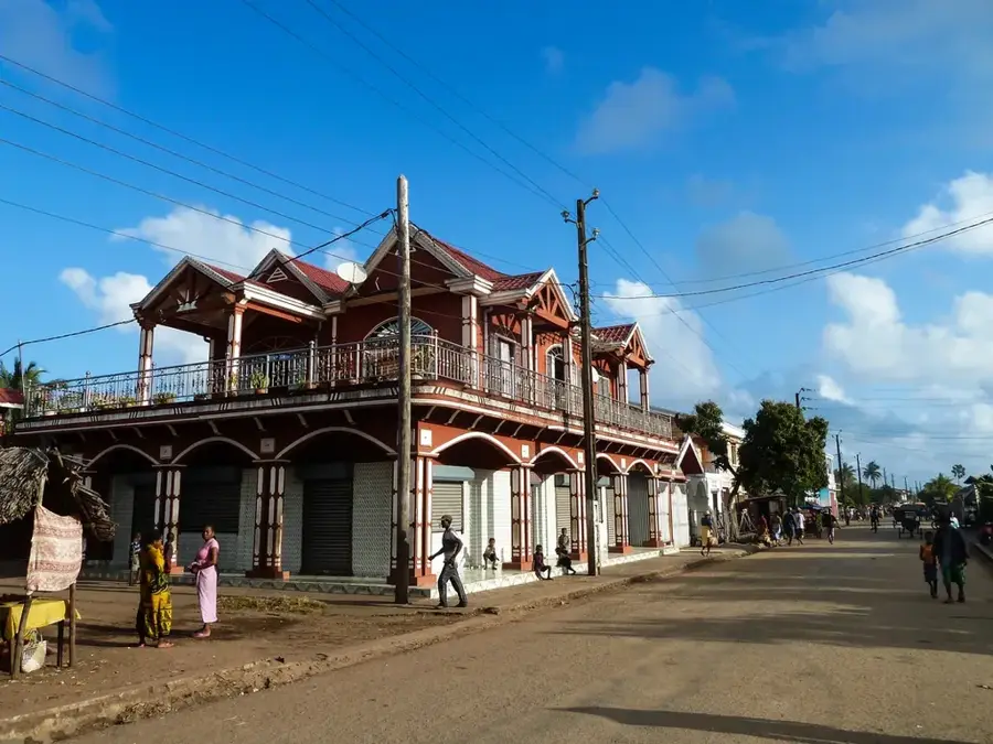
Sights in the town Ranomafana Hills (1)
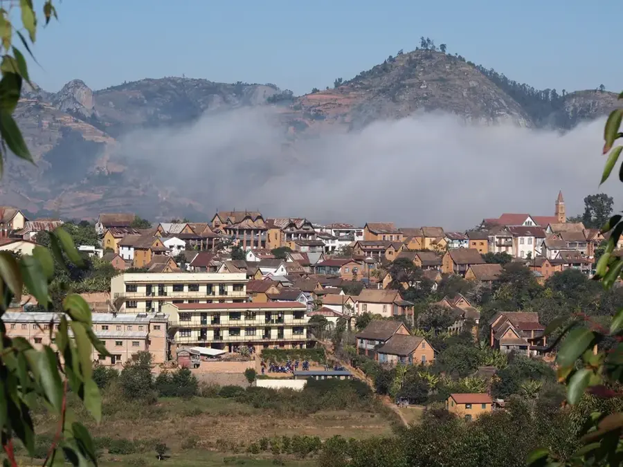
Sights nearby
Frequently asked questions
How much time is needed for Ranomafana?
Is the area easily accessible?
What is the best season?
Are the hikes very strenuous?
Is there food available on site?
Ranomafana Hills: where is it located?
Ranomafana Hills: when is the best time to visit?
Ranomafana Hills: why is it worth visiting?

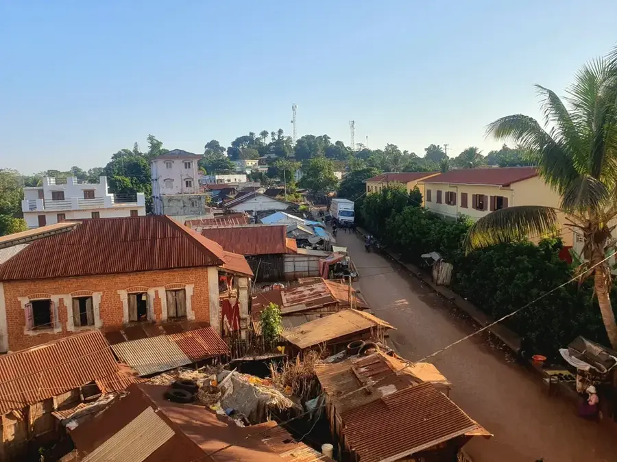
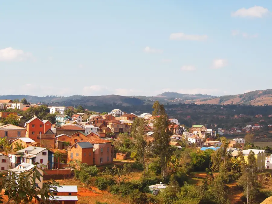
Nearby cities


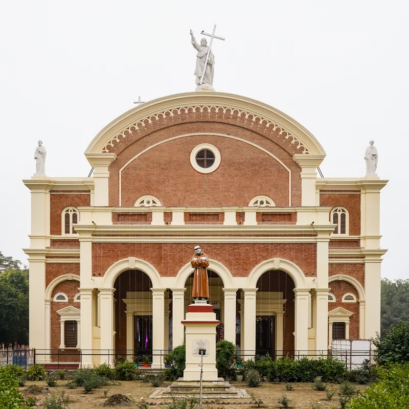
History & landmarks
More places