Plizio Visual Lab
Wadi al-Ajal
Weather…
Water temperature…
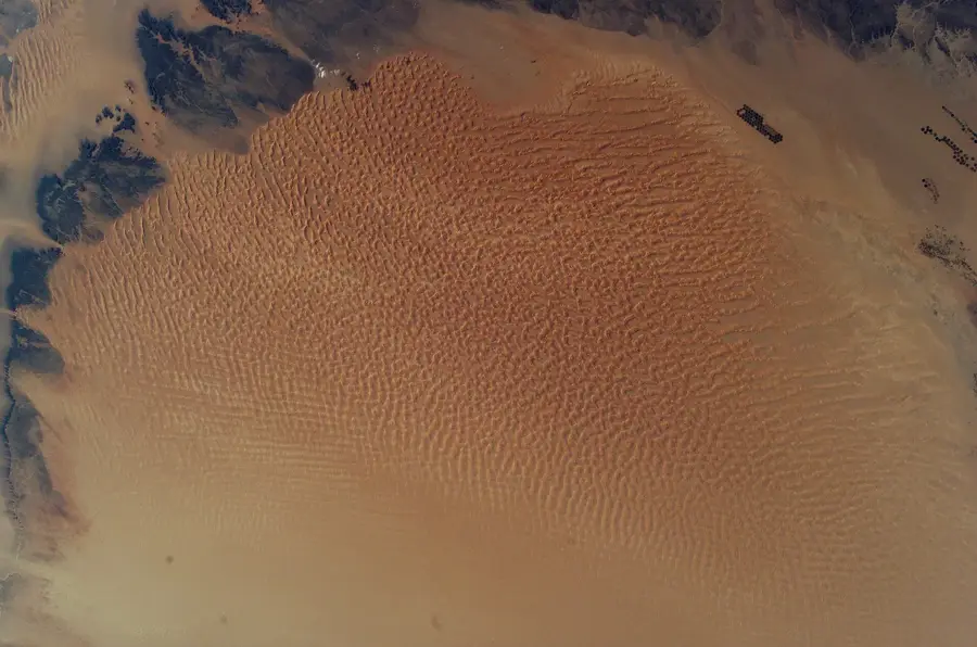
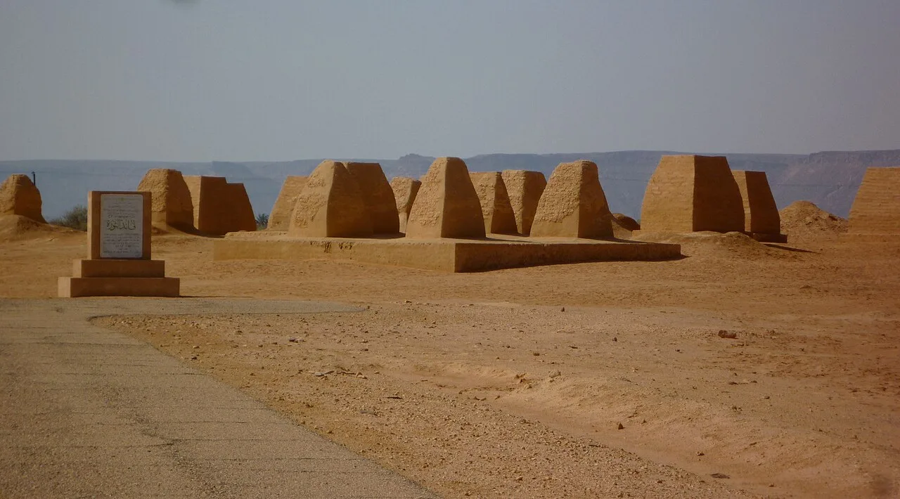
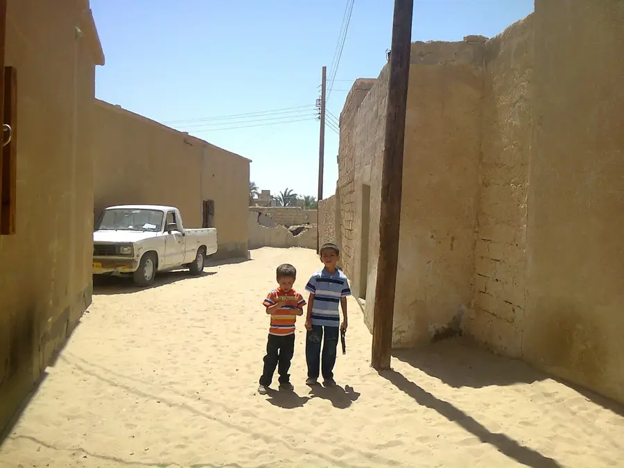
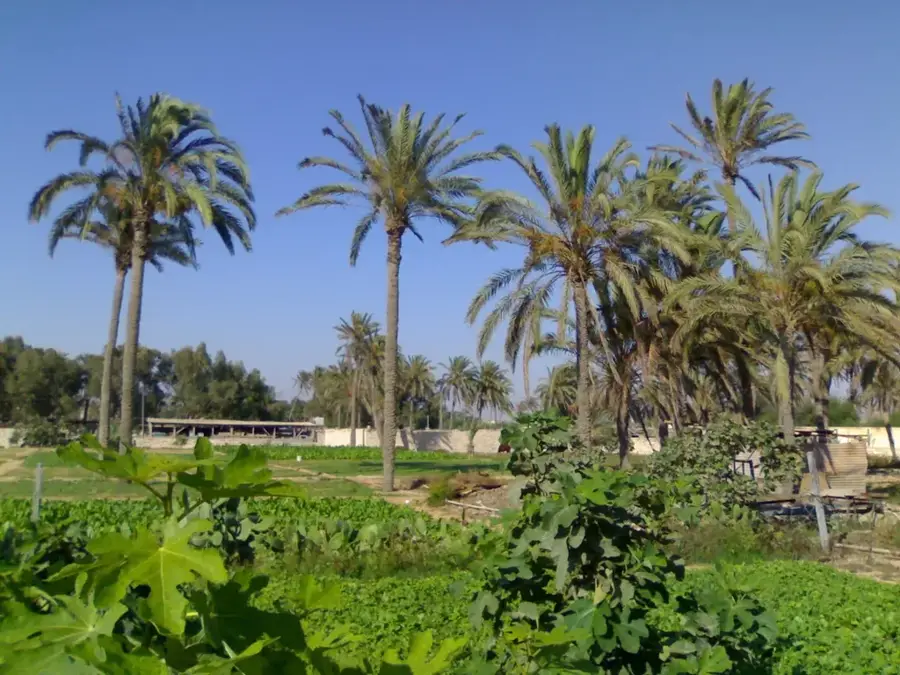
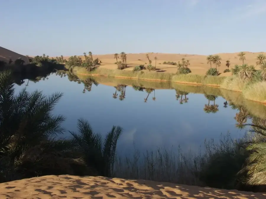
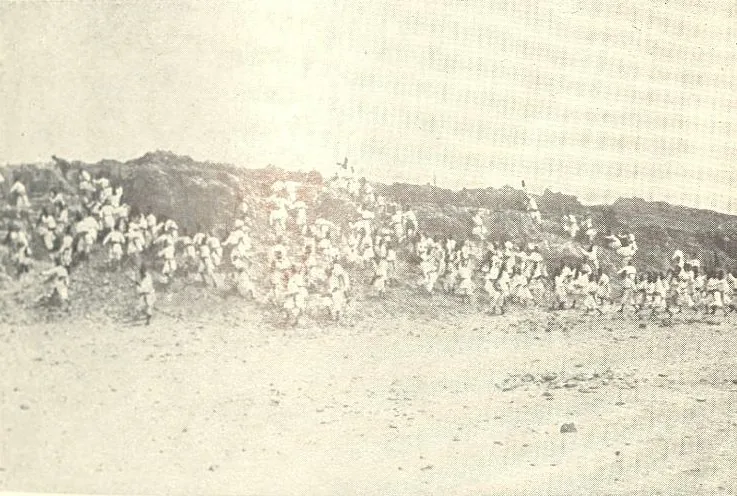
Wadi al-Ajal is an elongated, narrow valley in southwestern Libya, stretching over 160 kilometers along the northern edge of the Murzuq Sand Sea. This oasis region is of immeasurable historical value, as it formed the cultural and political heartland of the Garamantian civilization, which flourished here between 500 BCE and 500 CE. The Garamantes developed a sophisticated underground irrigation system known as foggaras to exploit fossil water from the Nubian aquifers for agriculture. The wadi's relief is bounded to the north by the imposing Messak plateau and to the south by the massive dunes of the Edeyen of Murzuq. Numerous archaeological sites, such as the ancient capital Garama (modern-day Germa), testify to the former power of these people who controlled trans-Saharan trade routes. Geologically, the wadi is a tectonic depression whose hydrological characteristics enabled settlement in an otherwise extreme desert environment. Today, Wadi al-Ajal remains a vital agricultural zone in the Fezzan, specializing in date palm and cereal cultivation. The fusion of ancient ruins and traditional oasis life makes the valley a significant cultural heritage site for Libya.
- Location: Libya
- Nearby: Awbari (Ubari) (24 km)
Best time to visit & climate
The most pleasant time to visit is Mar, Apr, Oct.
| Jan | Feb | Mar | Apr | May | Jun | Jul | Aug | Sep | Oct | Nov | Dec | |
|---|---|---|---|---|---|---|---|---|---|---|---|---|
| Avg °C | 10 | 13 | 18 | 24 | 28 | 31 | 32 | 32 | 30 | 24 | 18 | 12 |
| Rain mm | 3 | 3 | 2 | 1 | 4 | 11 | 0 | 0 | 3 | 3 | 2 | 3 |
📋 Practical info
Geography
Facts
- Over 600 separate foggara irrigation canal systems have been documented.
- Garama, the Garamantian capital, was established in the 1st millennium BCE.
- The valley contains thousands of tombs dating from the Garamantian era.
- The Messak escarpment to the north is famous for its extensive rock art.
- Wadi al-Ajal extends approximately 160 km from Sabha to Ubari.
- Fossil water enabled the large-scale cultivation of crops deep in the Sahara.
Explore nearby
Notable places around
Route planner — Car & Motorhome
Where do you start? We build the route here, with stops and country notes along the way.
© OpenStreetMap contributors · OpenRouteService
Sights nearby
Frequently asked questions
What is historically significant about Wadi al-Ajal?
What are foggara?
Where is the valley located?
Can one visit the museum in Germa?
What is the vegetation like today?
Wadi al-Ajal: where is it located?
Wadi al-Ajal: when is the best time to visit?
Wadi al-Ajal: why is it worth visiting?

Nearby cities
History & landmarks
Nature
More places