Plizio Visual Lab
Gulf of Sidra
Weather…
Water temperature…
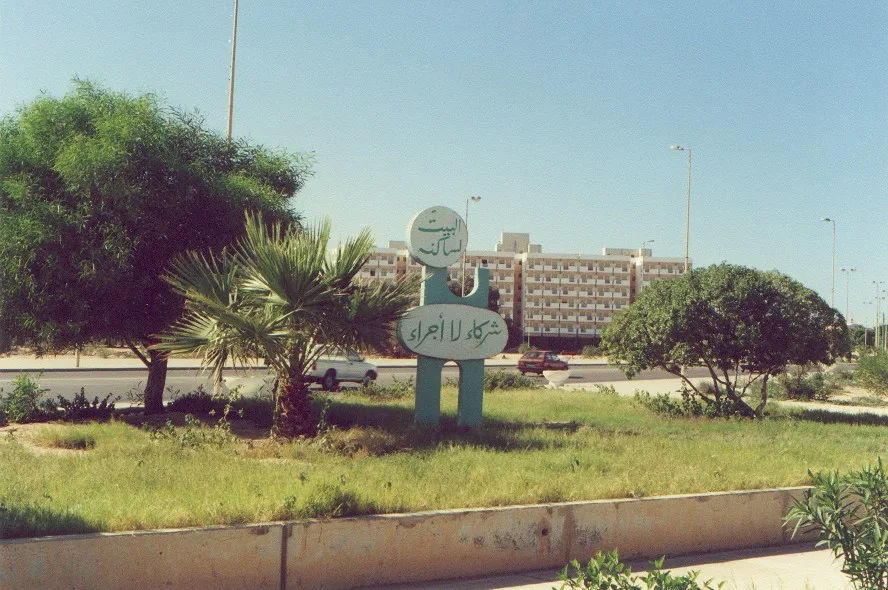
The Gulf of Sidra, also known as the Great Sirte, is a wide embayment of the Mediterranean Sea on the northern coast of Libya, situated between the cities of Misrata and Benghazi. The gulf spans a width of approximately 439 kilometers and reaches a maximum depth of around 1,500 meters in its northern reaches. Historically and politically, the gulf gained international prominence due to the 'Line of Death' declared by Libya, which asserted territorial claims and led to military tensions in the late 20th century. The waters are rich in marine biodiversity, serving as an important spawning ground for various fish species, including the Atlantic bluefin tuna. Major oil terminals such as Sidra, Ras Lanuf, and Brega are located along its coast, handling the export of crude oil extracted from the inland basins. The geographic nature of the coastline is characterized by salt marshes and sand dunes that contrast with the deep blue waters of the bay. Scientific research today focuses on protecting the sensitive marine ecosystem from industrial pollution.
- Location: Libya
- Nearby: Bin Jawad (82 km)
Best time to visit & climate
The most pleasant time to visit is May, Jun, Nov.
| Jan | Feb | Mar | Apr | May | Jun | Jul | Aug | Sep | Oct | Nov | Dec | |
|---|---|---|---|---|---|---|---|---|---|---|---|---|
| Avg °C | 16 | 16 | 16 | 18 | 20 | 23 | 26 | 27 | 26 | 24 | 21 | 18 |
| Rain mm | 47 | 40 | 14 | 3 | 3 | 0 | 0 | 1 | 7 | 20 | 19 | 53 |
📋 Practical info
Geography
Facts
- Width of approximately 439 km
- Maximum depth of 1,500 m
- Main oil terminal is Sidra
- Known for the 'Line of Death' (32° 30' N)
- Spawning ground for Atlantic bluefin tuna
- Site of military incidents in 1981 and 1989
Explore nearby
Notable places around
Route planner — Car & Motorhome
Where do you start? We build the route here, with stops and country notes along the way.
© OpenStreetMap contributors · OpenRouteService
Sights in the town Gulf of Sidra (1)
Sights nearby
Frequently asked questions
Can you swim in the Gulf of Sidra?
Are there boat tours for tourists?
What seafood is typical for the region?
What is the water temperature in summer?
Are there nature reserves on the coast?
Gulf of Sidra: where is it located?
Gulf of Sidra: when is the best time to visit?
Gulf of Sidra: why is it worth visiting?

Nearby cities
History & landmarks

More places