Plizio Visual Lab
Al-Hamada al-Hamra
Weather…
Water temperature…
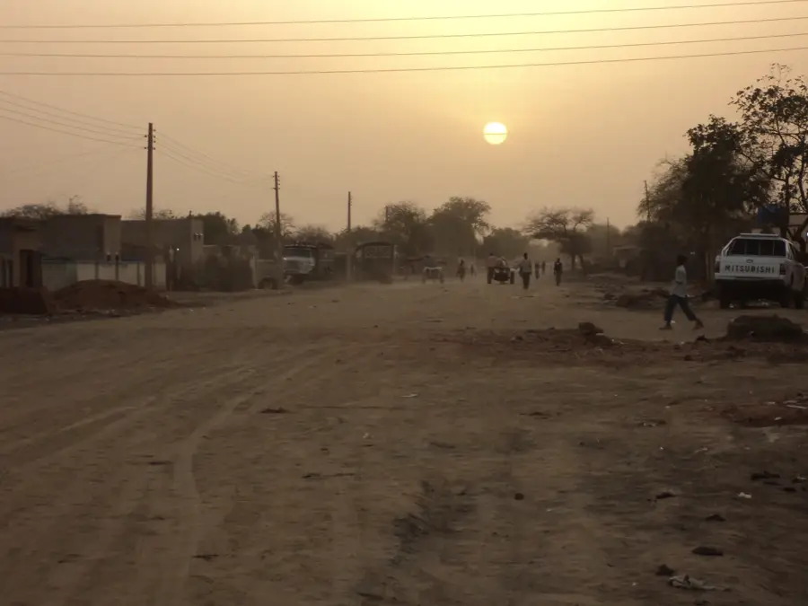
The Al-Hamada al-Hamra, translated as the 'Red Stony Desert', is a massive plateau in western Libya covering an area of approximately 84,000 square kilometers. This region is the epitome of a hammada: an extremely flat landscape covered with reddish stone slabs and gravel that supports almost no vegetation. Geologically, the plateau consists of Cretaceous and Tertiary sediments that have acquired their characteristic coloring through iron oxides. Despite its apparent hostility to life, the Al-Hamada al-Hamra is world-renowned among scientists as one of the richest sites for meteorites on Earth; the dark stones from space are particularly visible against the light, reddish ground. Historically, the region was feared due to extreme dryness and the lack of water sources, and it was usually bypassed along its edges. Beneath the surface, however, lie significant fossil groundwater deposits and hydrocarbon reserves that are of central importance to the Libyan economy. The solitude and apparent infinity of the plateau make it one of the most extreme natural landscapes of the Sahara.
Best time to visit & climate
The most pleasant time to visit is Mar, Apr, Oct.
| Jan | Feb | Mar | Apr | May | Jun | Jul | Aug | Sep | Oct | Nov | Dec | |
|---|---|---|---|---|---|---|---|---|---|---|---|---|
| Avg °C | 9 | 12 | 17 | 22 | 27 | 31 | 32 | 32 | 29 | 23 | 16 | 11 |
| Rain mm | 3 | 3 | 2 | 2 | 2 | 1 | 0 | 0 | 2 | 5 | 2 | 3 |
📋 Practical info
Geography
Facts
- The plateau extends over an area of around 84.000 square kilometers.
- The name refers to the reddish coloration of the iron-bearing rock.
- Thousands of meteorites have been identified here since the 1980s.
- There are almost no permanent water sources in the Al-Hamada al-Hamra.
- The area is an important exploration field for natural gas and oil.
- Geomorphologically, it is one of the flattest and largest plateaus in North Africa.
Explore nearby
Notable places around
Route planner — Car & Motorhome
Where do you start? We build the route here, with stops and country notes along the way.
© OpenStreetMap contributors · OpenRouteService
Sights nearby
Frequently asked questions
What does the name 'Al-Hamada al-Hamra' mean?
How large is this desert area?
Can you drive through the desert alone?
Is there any life there?
What fascinates travelers about this area?
Al-Hamada al-Hamra: where is it located?
Al-Hamada al-Hamra: when is the best time to visit?
Al-Hamada al-Hamra: why is it worth visiting?