Plizio Visual Lab
Mohale's Hoek
ℹ️Practical info — Mohale's Hoek
▾
🌤 Weather — 5 days
📍 Nearby
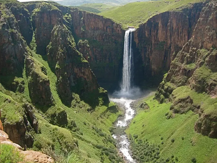
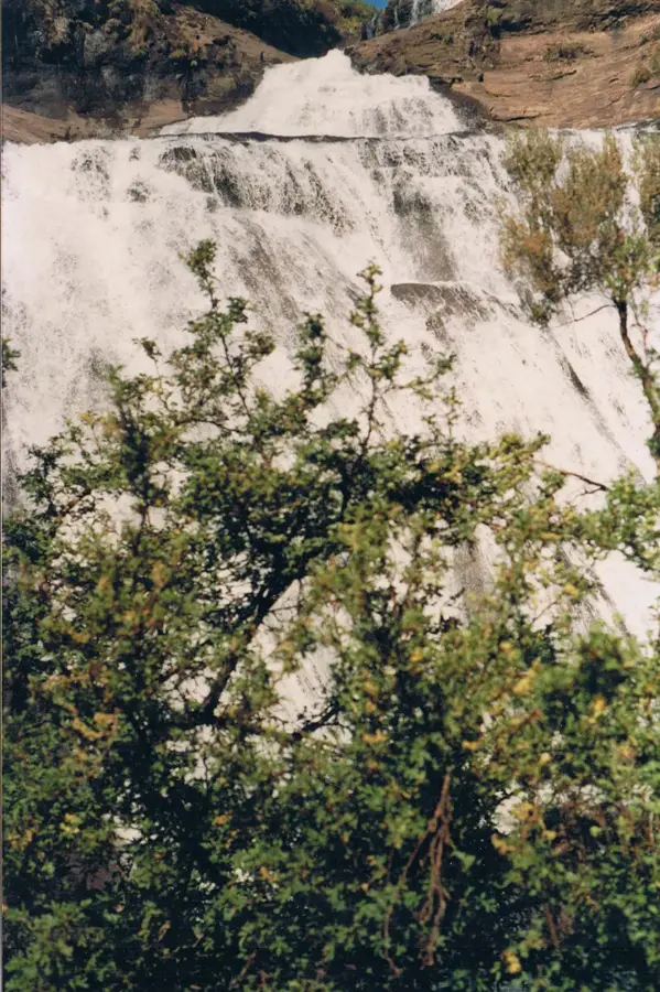
Sights nearby
💡 Tips
- Use the town as a base before heading deeper into the scenic southern mountains.
- Always greet locals with a friendly 'Dumela' before asking a question.
- Supermarkets here are well-stocked; it's a good place to provision.
- Minibuses to Quthing leave from the main rank, usually only when full.
🍽 Food
A traditional dish of cooked greens, available at local dining spots.
South African style sausages are popular here; look for them at braai stands.
Try the locally brewed, non-alcoholic ginger beer for a refreshing kick.
🛍 Shopping · 🧘 Quiet spots
A bustling spot to buy fresh fruits, vegetables, and everyday wares.
Check the local clothing stores for traditional, colorful wool blankets.
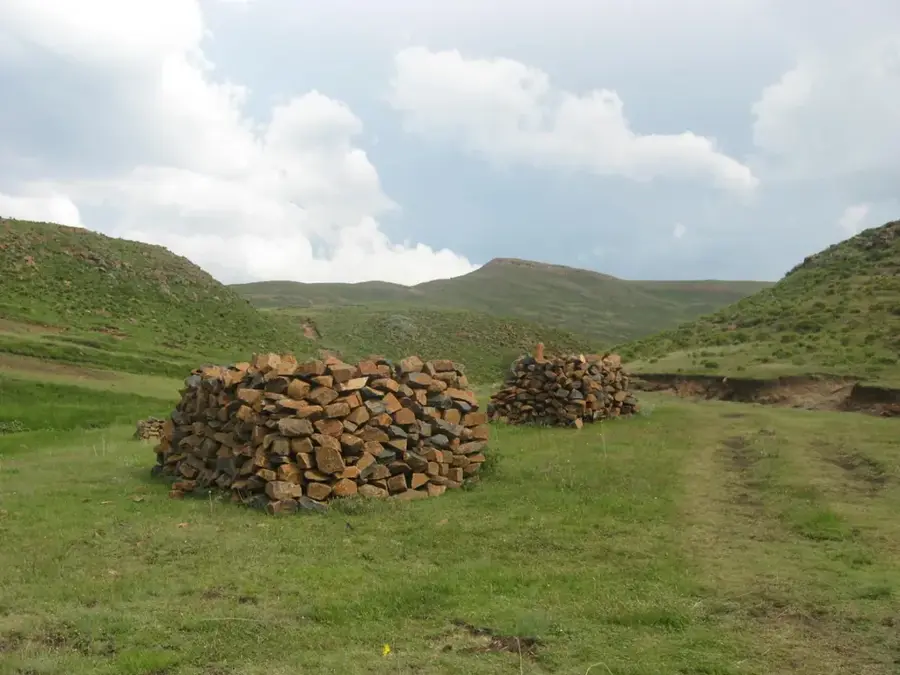
Hike up towards the hills directly behind the town for panoramic views.
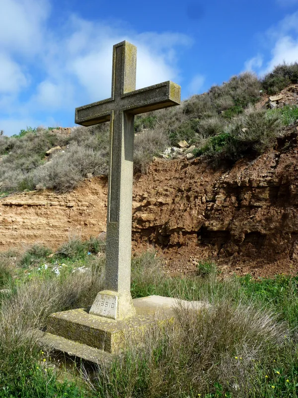
A quiet, historic church area offering a serene environment.
Water temperature…
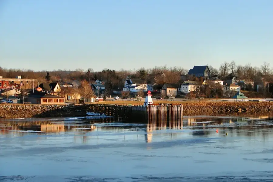
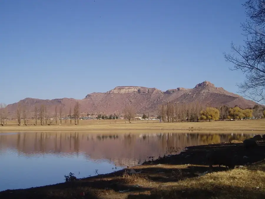
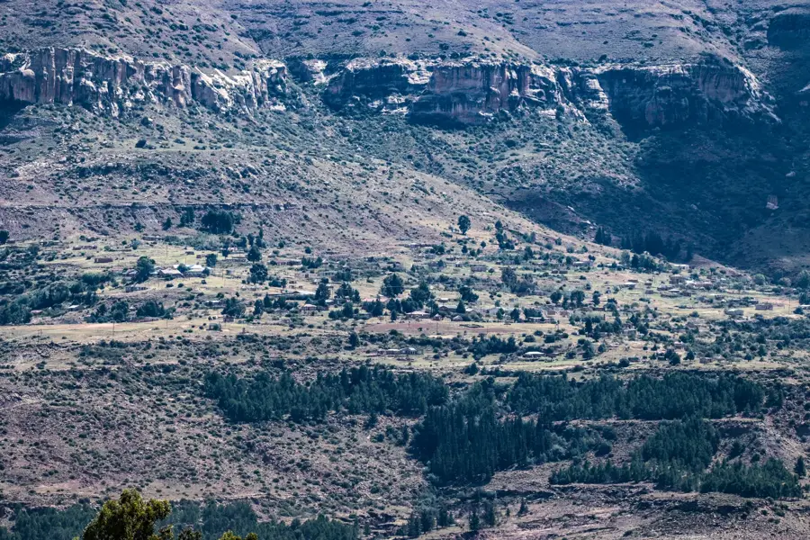
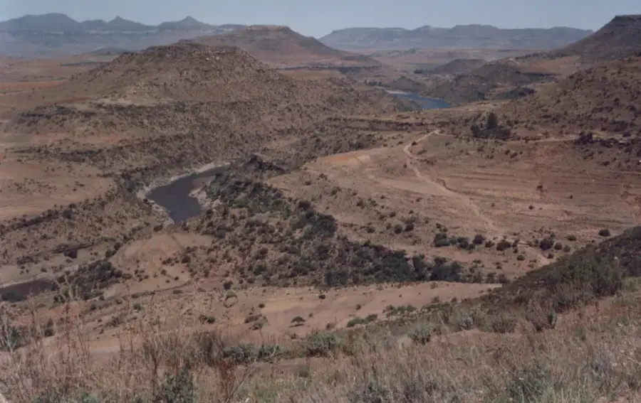
Mohale's Hoek is the capital of the Mohale's Hoek District in southern Lesotho, positioned at the base of the Maloti Mountains. The town was established in 1884 following the destruction of the original settlement during the Gun War of 1880. It was named after Chief Mohale, the younger brother of King Moshoeshoe I, who governed the area in the mid-19th century. Geographically, the town lies at an elevation of approximately 1,600 meters within a fertile valley framed by dramatic sandstone cliffs. Mohale's Hoek serves as a vital service and administrative hub for the southern population, hosting several key educational and medical facilities. The local economy is underpinned by agriculture, primarily maize production and livestock farming, alongside regional trade. Its urban character features a blend of British colonial-style architecture and contemporary commercial expansions. The surrounding area is rich in natural landmarks, such as Mount Mohale and various historical caves that once served as shelters. The town is also a strategic transit point on the main highway connecting Maseru to the southernmost district of Quthing.
- Location: Lesotho
- Nearby: Maphutseng (9 km)
- Population: ~46.593 (2026)
Best time to visit & climate
The most pleasant time to visit is Jan, Feb, Dec.
| Jan | Feb | Mar | Apr | May | Jun | Jul | Aug | Sep | Oct | Nov | Dec | |
|---|---|---|---|---|---|---|---|---|---|---|---|---|
| Avg °C | 20 | 19 | 17 | 13 | 10 | 6 | 6 | 8 | 13 | 16 | 18 | 20 |
| Rain mm | 105 | 92 | 75 | 55 | 21 | 20 | 11 | 25 | 20 | 64 | 80 | 98 |
Geography
Facts
- Mohale's Hoek was re-established in 1884 after the Gun War.
- Named after Chief Mohale, brother of King Moshoeshoe I.
- The town sits at an elevation of approximately 1,600 meters.
- It is the administrative capital of the Mohale's Hoek District.
- The area is a significant producer of maize for the country.
- Mount Mohale is a prominent peak overlooking the town.
Explore nearby
Notable places around
Route planner — Car & Motorhome
Where do you start? We build the route here, with stops and country notes along the way.
© OpenStreetMap contributors · OpenRouteService
Sights in the town Mohale's Hoek (1)
Frequently asked questions
Why visit Mohale's Hoek?
Are there cultural sights?
How safe is Mohale's Hoek for tourists?
Which local specialty should I try?
Can I go mountain hiking from here?
Mohale's Hoek: where is it located?
Mohale's Hoek: when is the best time to visit?
Mohale's Hoek: why is it worth visiting?

Nearby cities


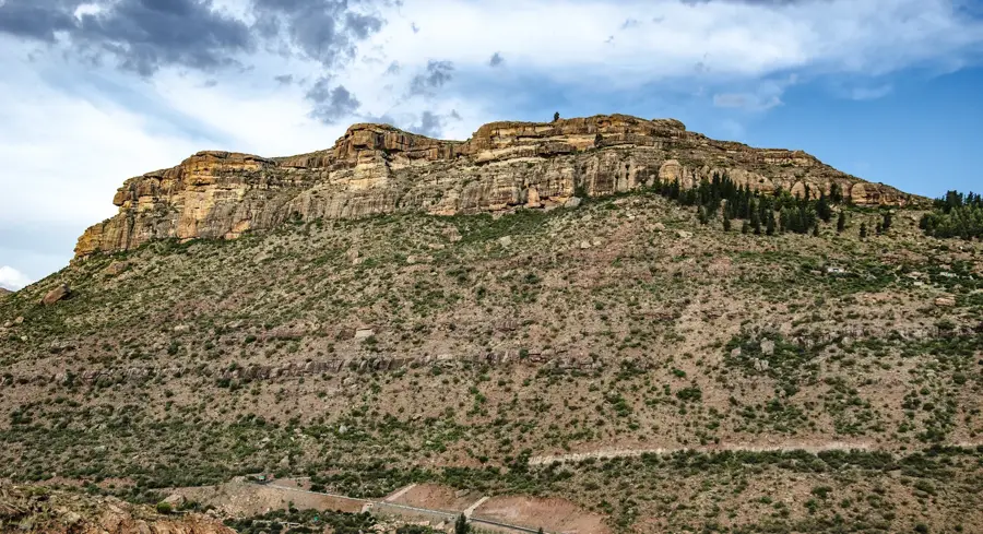

History & landmarks
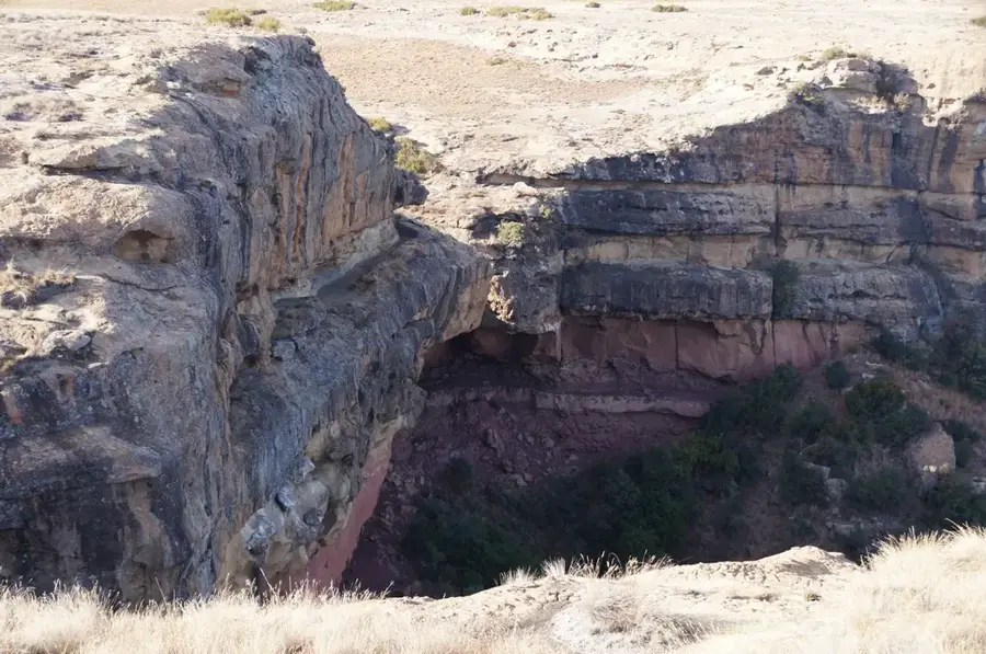
Nature
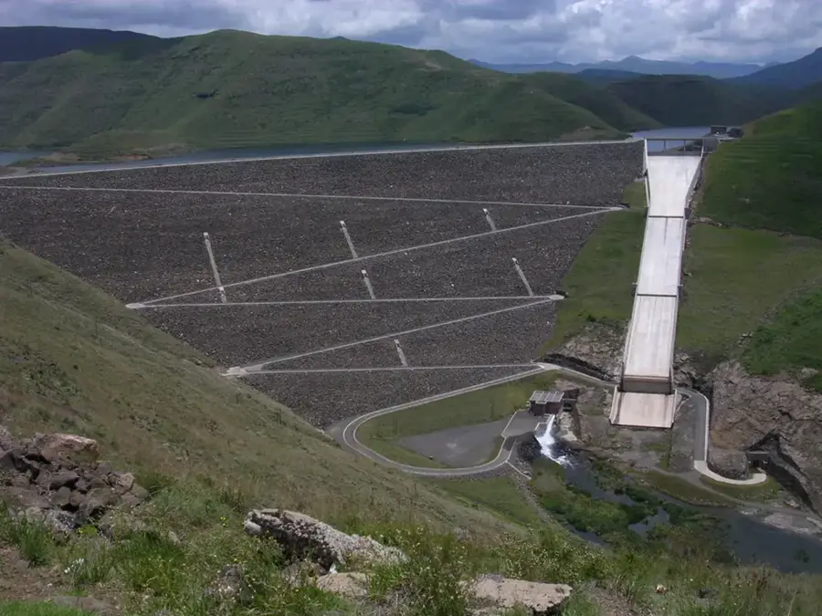

More places