Plizio Visual Lab
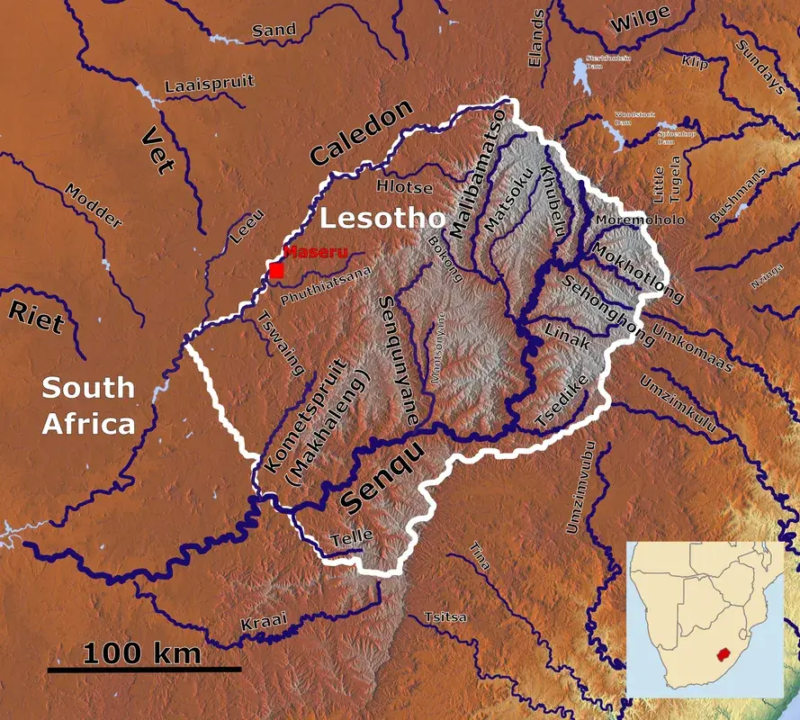
Phuthiatsana River
Weather…
Water temperature…
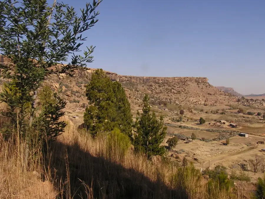
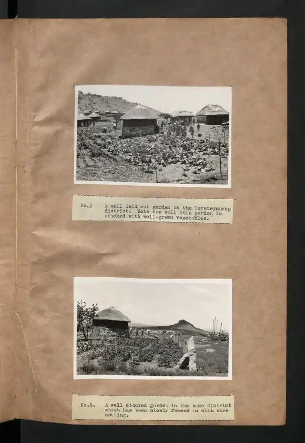
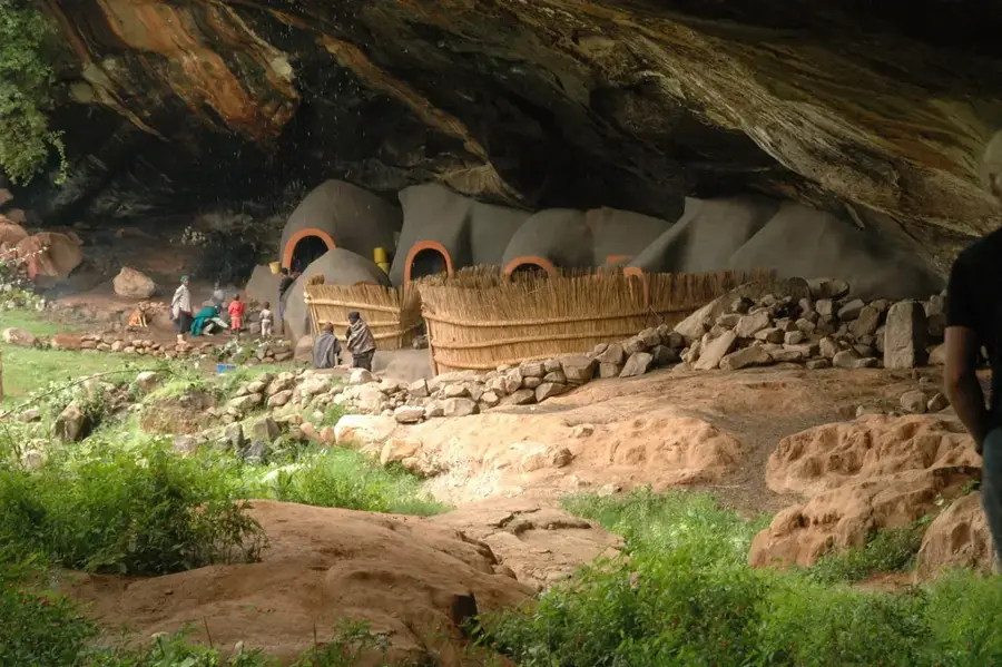
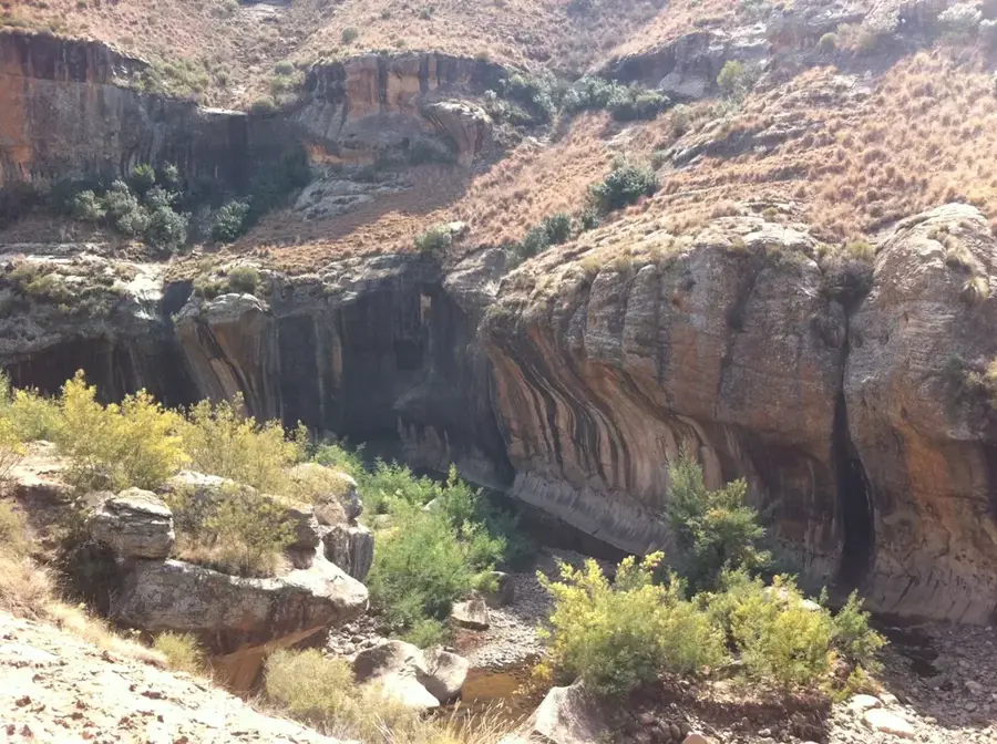
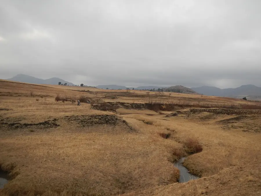
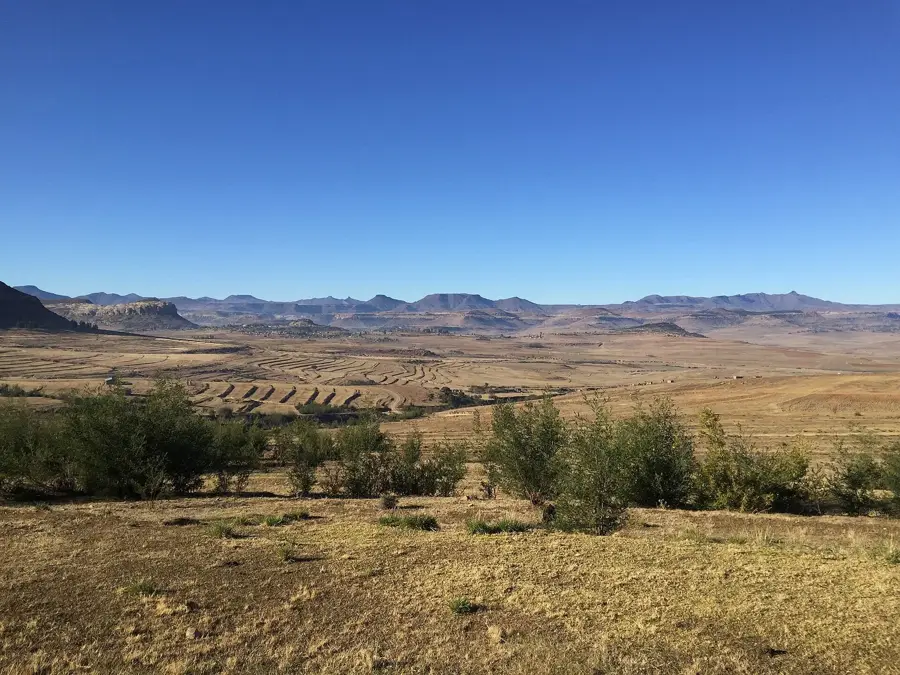
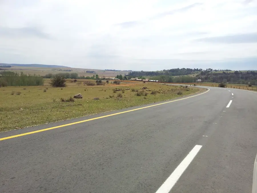
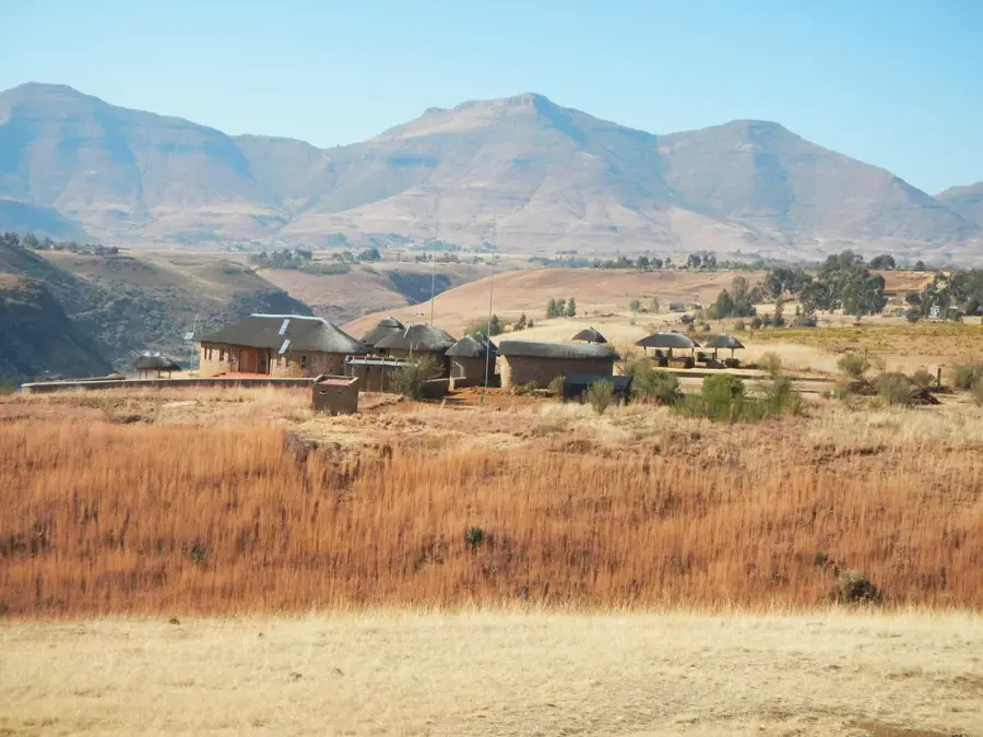
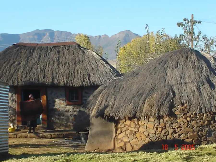
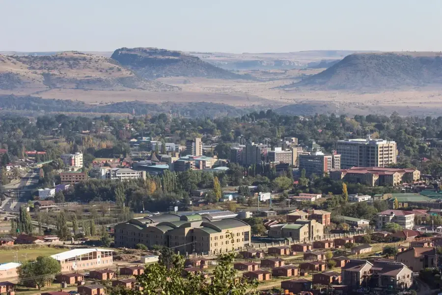
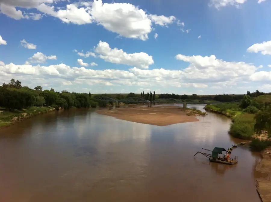
The Phuthiatsana River system is a critical component of Lesotho's hydrology, consisting of two distinct branches: the Northern Phuthiatsana in Leribe and the Southern Phuthiatsana in the Maseru District. The Southern Phuthiatsana, often referred to as the Little Phuthiatsana, originates in the foothills of the Maloti Mountains and meanders westward to join the Mohokare (Caledon) River. This river is a lifeline for the central lowlands, providing water for domestic use and supporting the agriculture-dependent communities along its banks. The river valley is notable for its sandstone overhangs, many of which contain ancient rock art created by the San people, depicting scenes of wildlife and spiritual beliefs. In terms of national infrastructure, the river is crossed by several key bridges that link rural highlands to the capital, Maseru. Hydrologically, the Phuthiatsana is characterized by sudden flow surges during summer thunderstorms, which contribute to significant sediment transport and soil erosion. Managing the river's resources is essential for maintaining local food security and ecological health. The surrounding terrain gives an easy on the eye blend of agricultural fields and dramatic rocky escarpments characteristic of Lesotho's middle-altitude zones.
- Location: Lesotho
- Nearby: Teyateyaneng (7 km)
Best time to visit & climate
The most pleasant time to visit is Feb, Mar, Dec.
| Jan | Feb | Mar | Apr | May | Jun | Jul | Aug | Sep | Oct | Nov | Dec | |
|---|---|---|---|---|---|---|---|---|---|---|---|---|
| Avg °C | 22 | 21 | 19 | 15 | 11 | 8 | 8 | 10 | 15 | 18 | 19 | 21 |
| Rain mm | 88 | 77 | 68 | 51 | 16 | 16 | 6 | 16 | 15 | 50 | 77 | 92 |
📋 Practical info
Geography
Facts
- Lesotho has two distinct Phuthiatsana rivers, known as North and South.
- The Southern Phuthiatsana is a major tributary of the Mohokare (Caledon).
- Ancient San rock art is preserved in sandstone shelters along the river valley.
- The river is a primary source of water for agricultural activities in the Maseru District.
- The Metolong Dam, located nearby, is vital for the water supply of the capital city.
- Sudden flash floods are common during the rainy season from October to April.
Explore nearby
Notable places around
Route planner — Car & Motorhome
Where do you start? We build the route here, with stops and country notes along the way.
© OpenStreetMap contributors · OpenRouteService
Sights nearby
Frequently asked questions
Where does the Phuthiatsana River flow?
What does the name Phuthiatsana mean?
Can you swim in the river?
How dangerous are the flash floods?
What plants grow on the banks?
Phuthiatsana River: where is it located?
Phuthiatsana River: when is the best time to visit?
Phuthiatsana River: why is it worth visiting?

Nearby cities


History & landmarks

Nature
More places