Plizio Visual Lab
Sayaboury Highlands
Weather…
Water temperature…
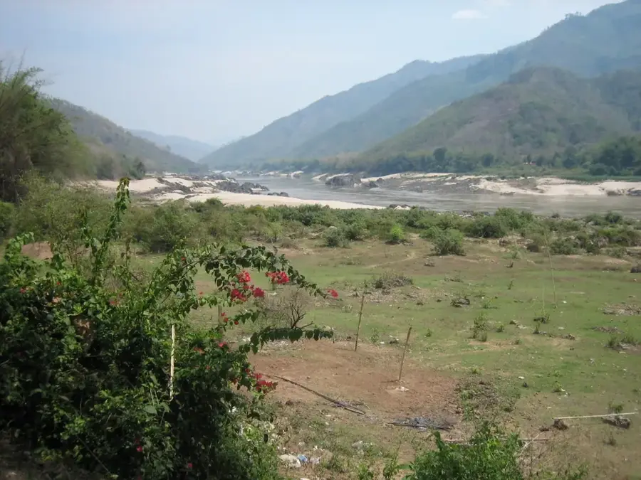
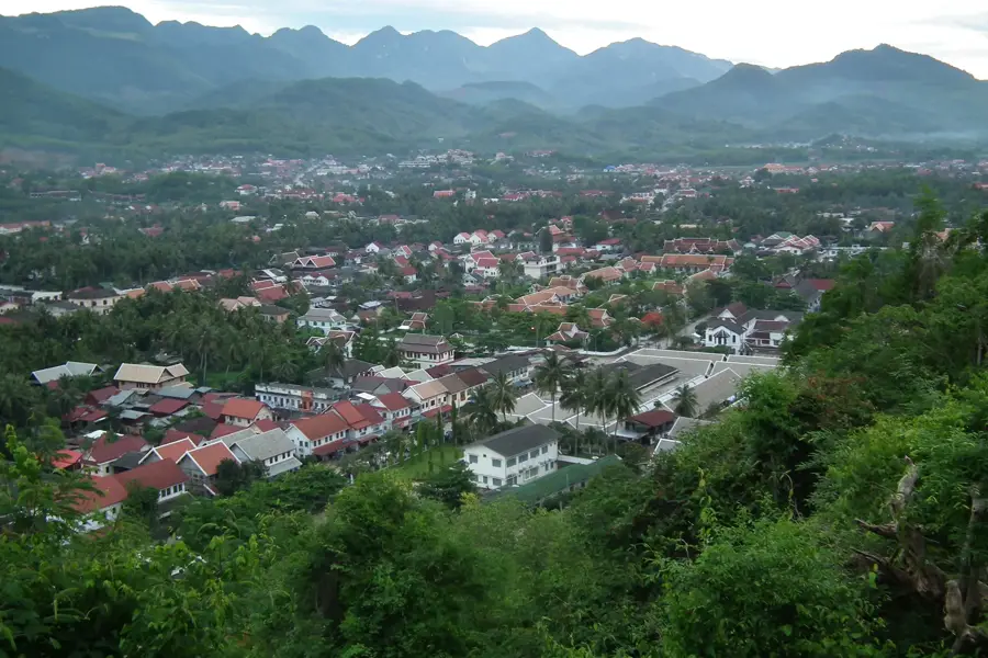
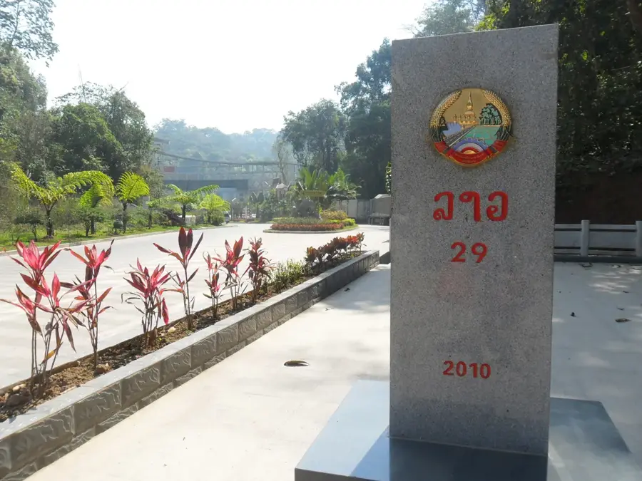
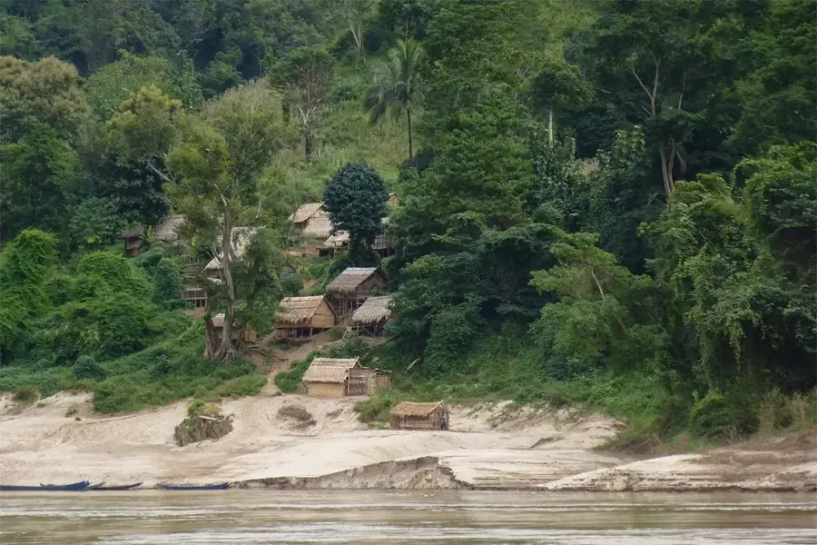
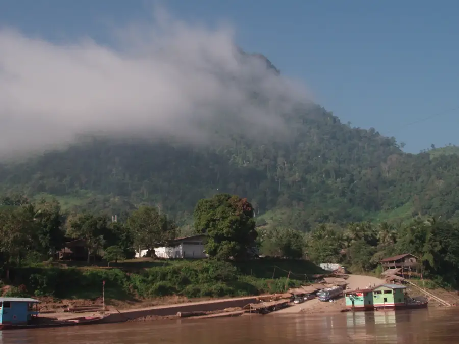
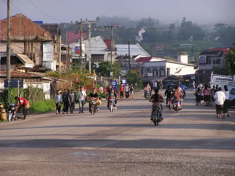
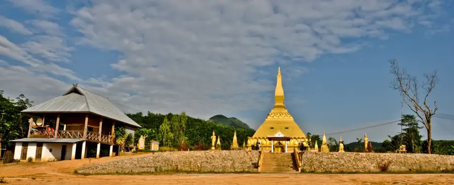
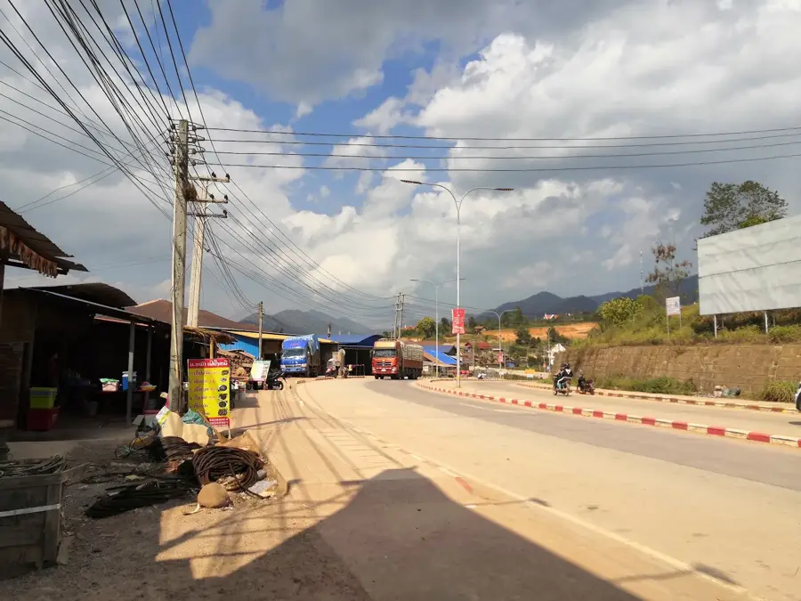
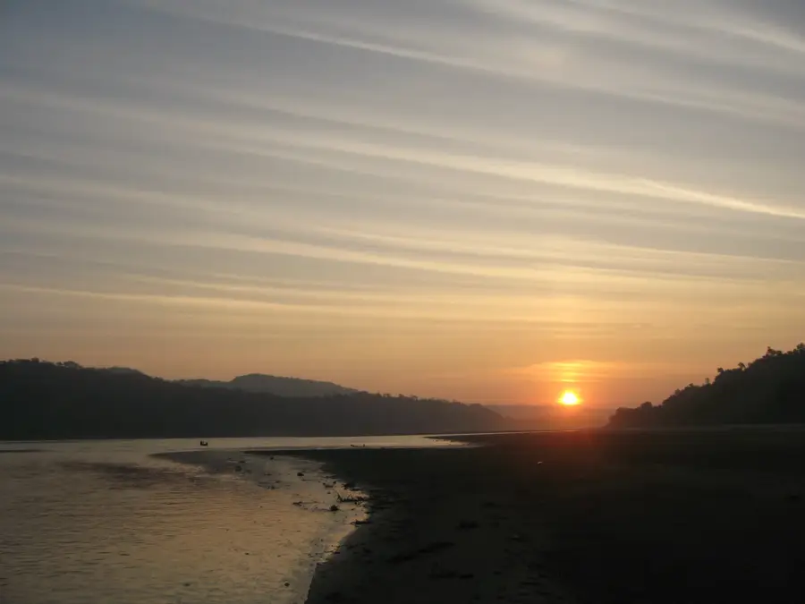
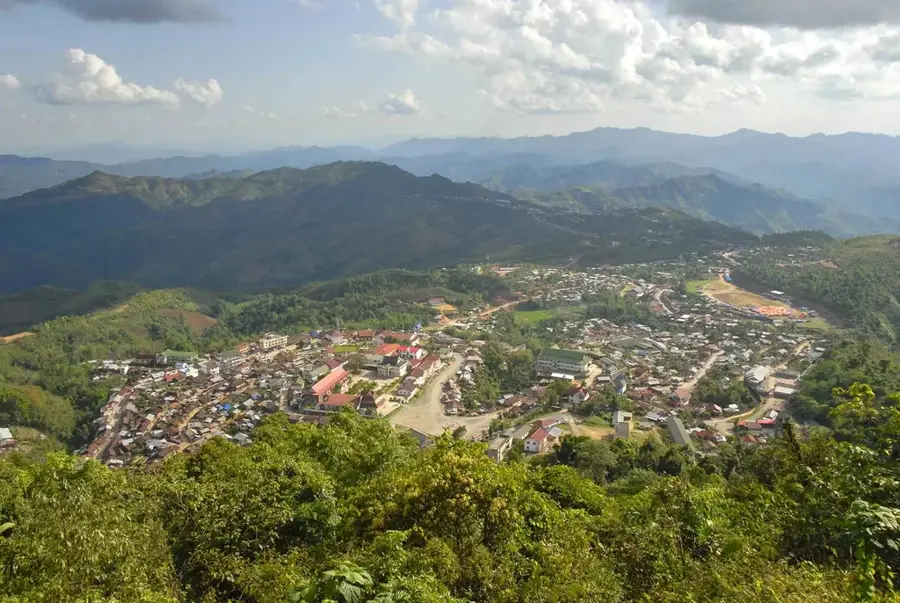
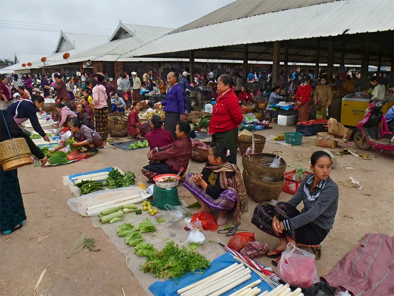
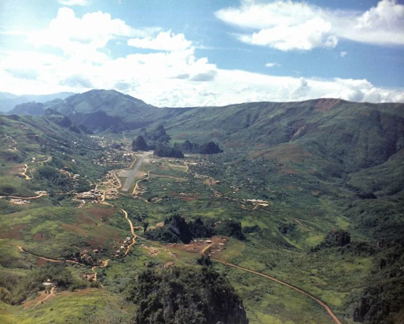
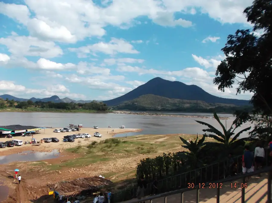
The Sayaboury Highlands, located in the Sainyabuli Province of western Laos, represent a significant geographical region as the only province in the country situated entirely west of the Mekong River. This mountainous area is dominated by the Luang Prabang Range and forms a natural border with Thailand. The highlands are characterized by dense teak forests and fertile valleys that support the cultivation of cotton, rice, and tobacco. Historically, Sayaboury was renowned as the 'Land of Elephants,' a legacy that continues today through the annual Elephant Festival held to promote conservation and cultural heritage. The highland population comprises various ethnic groups, including the Hmong and Khmu, who have maintained traditional lifestyles amidst the rugged terrain. In recent years, the construction of the Xayaburi Dam on the Mekong has shifted the regional economic focus, making it a critical hub for hydroelectric power generation in Southeast Asia.
- Location: Laos
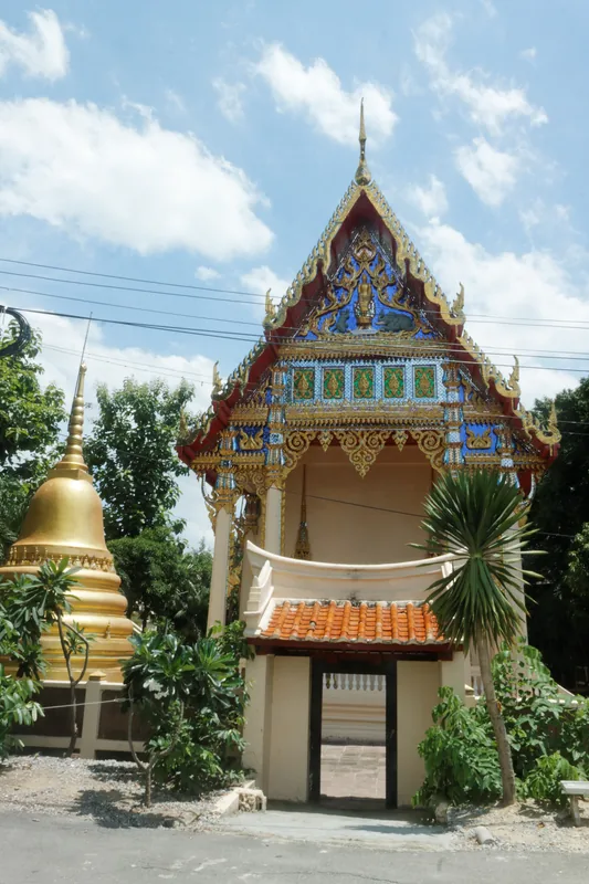
- Top sights: Elephant Conservation Center · Elephant Park · Natornoy Temple
- Nearby: Sainyabuli (6 km)
Best time to visit & climate
The most pleasant time to visit is Jan, Feb, Nov.
| Jan | Feb | Mar | Apr | May | Jun | Jul | Aug | Sep | Oct | Nov | Dec | |
|---|---|---|---|---|---|---|---|---|---|---|---|---|
| Avg °C | 18 | 21 | 23 | 25 | 25 | 25 | 24 | 24 | 24 | 23 | 21 | 18 |
| Rain mm | 14 | 5 | 29 | 68 | 134 | 124 | 211 | 241 | 152 | 61 | 19 | 12 |
📋 Practical info
Geography
Facts
- Only Laotian province located entirely west of the Mekong River
- Hosts the annual Elephant Festival in Sainyabuli town
- Major producer of teak wood for international export
- Shares borders with six different Thai provinces
- Economic focus is split between agriculture and hydropower
- Home to significant populations of Hmong and Khmu ethnic groups
Explore nearby
Notable places around
Route planner — Car & Motorhome
Where do you start? We build the route here, with stops and country notes along the way.
© OpenStreetMap contributors · OpenRouteService
Sights in the town Sayaboury Highlands (5)
Sights nearby
Frequently asked questions
What is the Sayaboury Highlands known for?
How is the climate in the highlands?
Can you visit elephant camps there?
Are the roads in the highlands well-developed?
Which ethnic groups live in Sayaboury?
Sayaboury Highlands: where is it located?
Sayaboury Highlands: what is there to see?
Sayaboury Highlands: when is the best time to visit?
Sayaboury Highlands: why is it worth visiting?

Nearby cities


History & landmarks
More places