Plizio Visual Lab
Kirishima Mountains
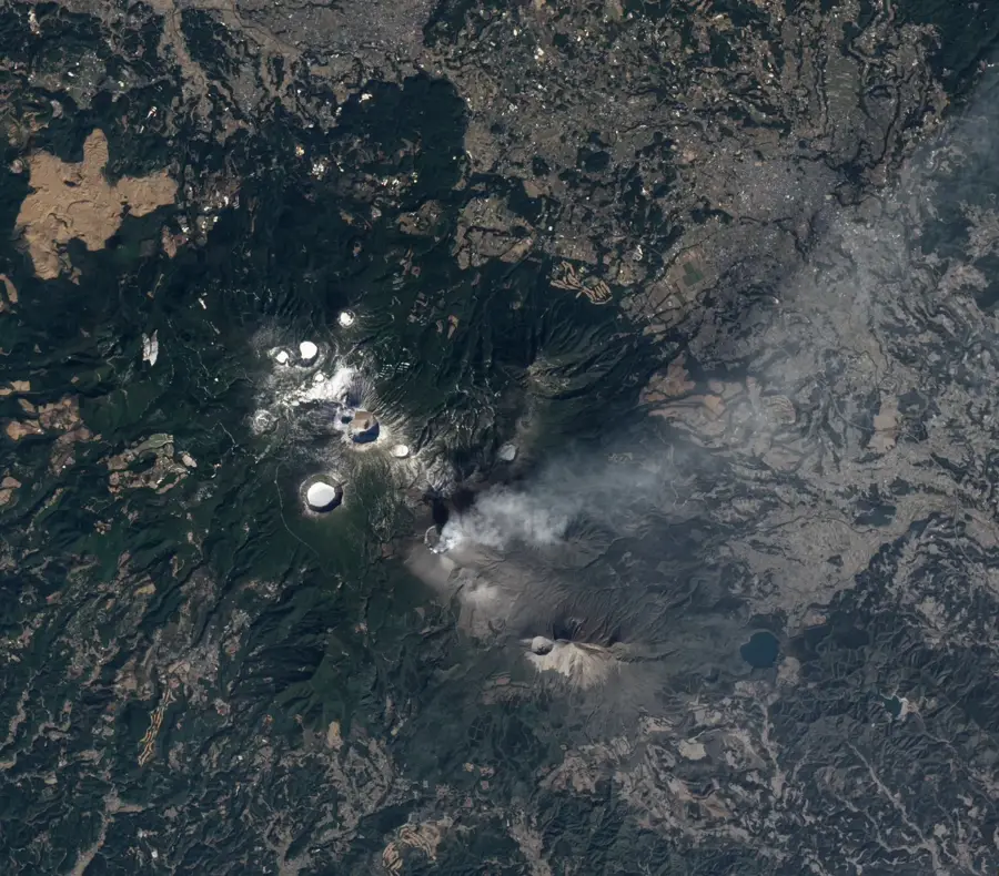
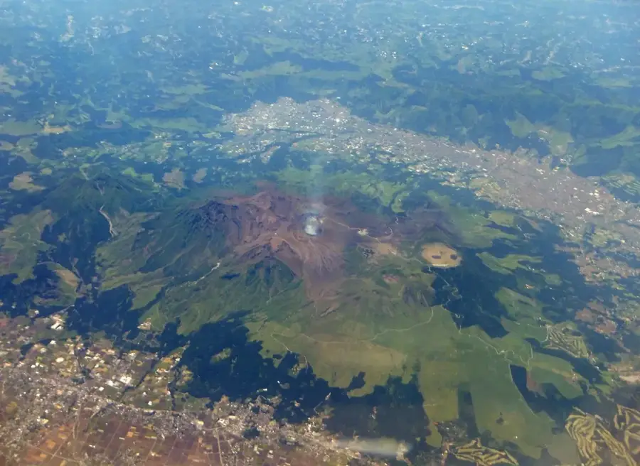
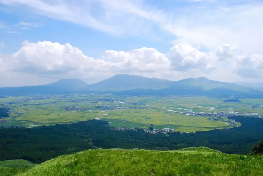
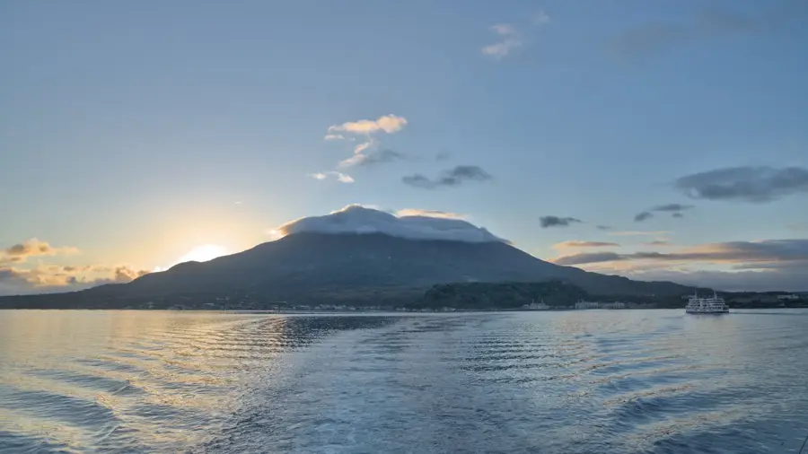
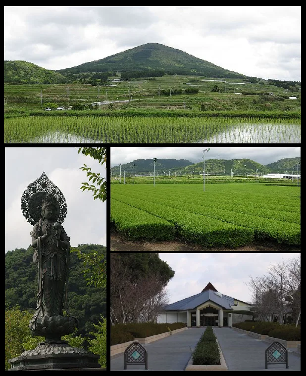
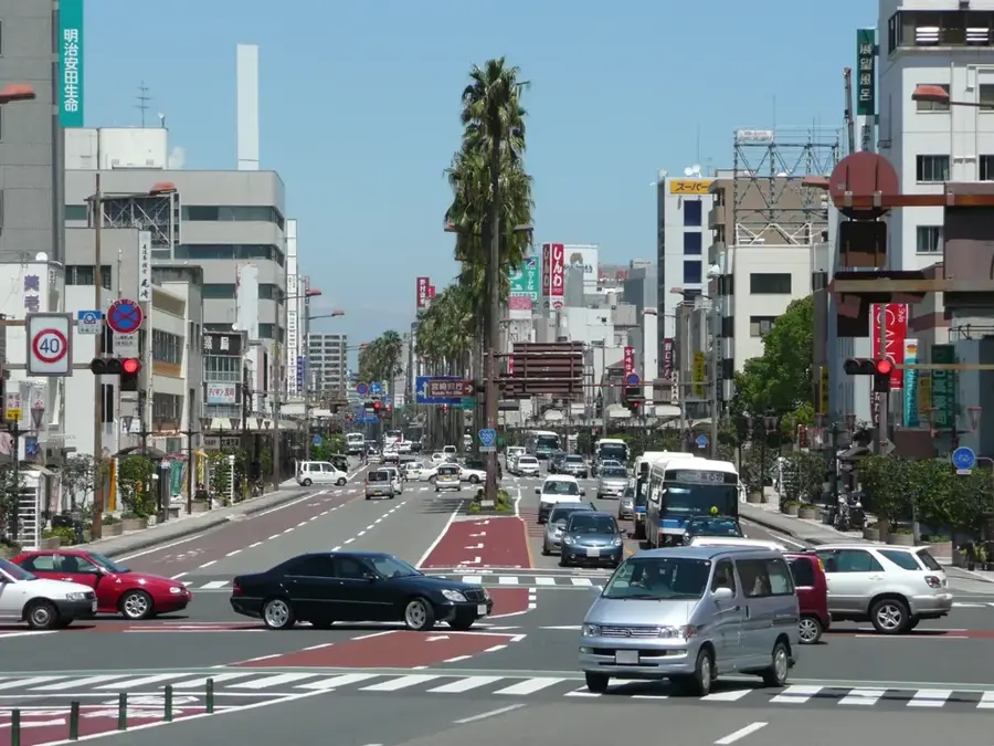
Kirishima Mountains is a remarkable feature of the geography and culture of Japan. A group of active volcanoes on the border of Kagoshima and Miyazaki prefectures. An important location in Japanese mythology. Highest peak: Karakuni-dake (1,700 m). Part of Kirishima-Kinkowan National Park. Considered the birthplace of Japan. This landform shapes the topography of Japan, between the main islands of Honshu, Hokkaido, Kyushu, and Shikoku, dominated by volcanic mountain ranges. Like many notable places in Japan, it combines regional character with the legacy of the samurai tradition, Shinto and Buddhist heritage, and the modern industrial nation. Thus, this place contributes to the diverse profile of Japan, from Mount Fuji and Tokyo to the volcanic island arc along the Pacific.
- Location: Japan
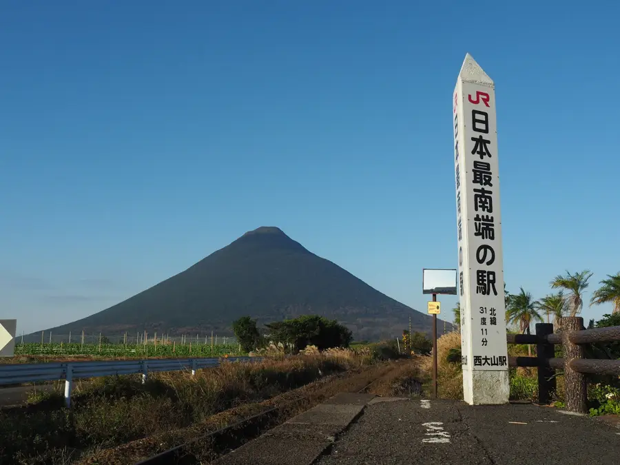
- Top sights: Footbath · Maruo Falls · Amenosakahoko
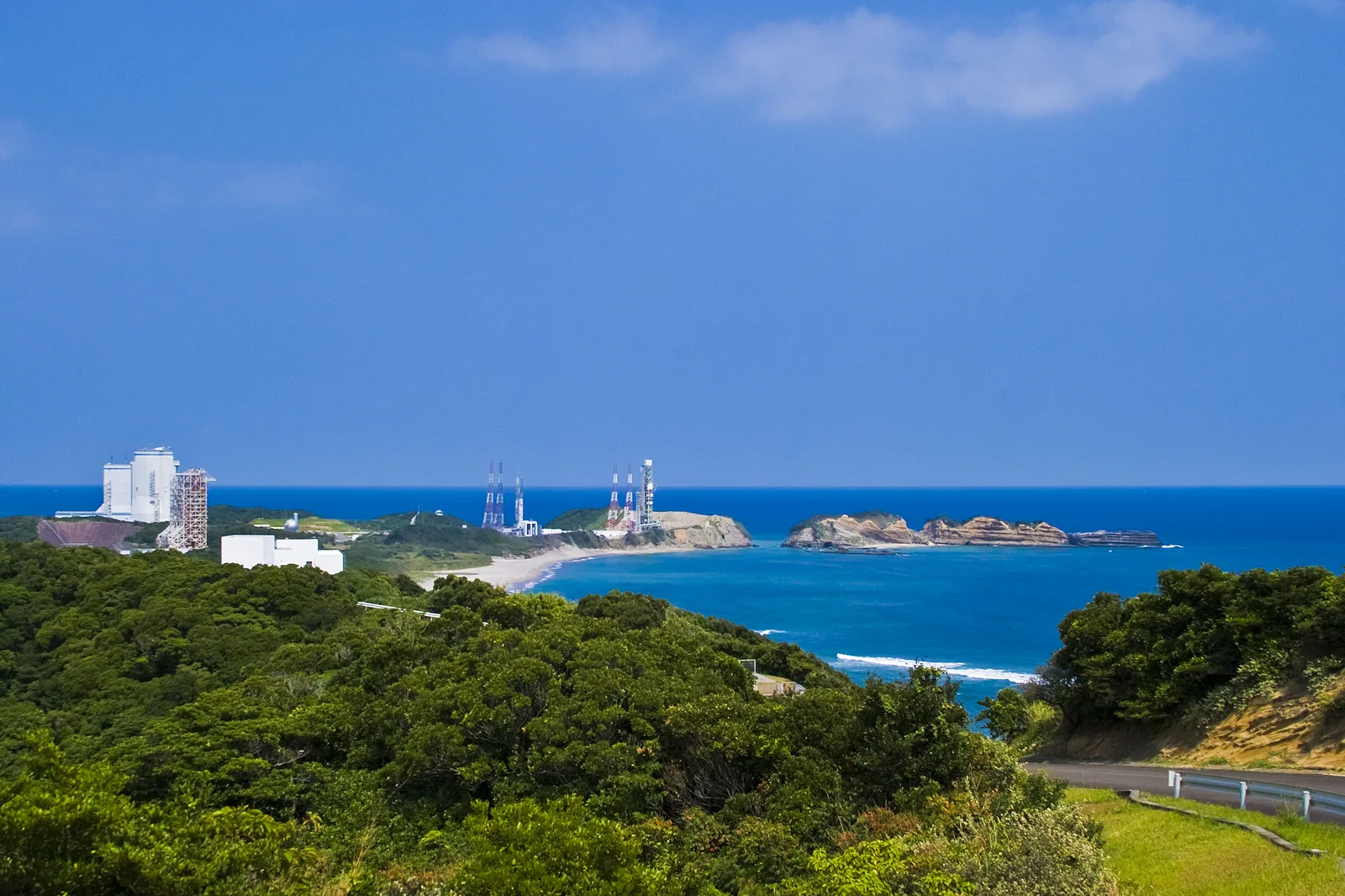
- Nearby: Kanoya (40 km)
Best time to visit & climate
The most pleasant time to visit is May, Oct, Nov.
| Jan | Feb | Mar | Apr | May | Jun | Jul | Aug | Sep | Oct | Nov | Dec | |
|---|---|---|---|---|---|---|---|---|---|---|---|---|
| Avg °C | 4 | 6 | 9 | 14 | 19 | 22 | 26 | 26 | 23 | 18 | 12 | 6 |
| Rain mm | 77 | 119 | 156 | 189 | 243 | 539 | 438 | 266 | 353 | 179 | 120 | 93 |
📋 Practical info
Geography
Facts
- A group of active volcanoes on the border of Kagoshima and Miyazaki prefectures. An important location in Japanese mythology.
- Located within the island nation of Japan in the North Pacific.
- Plays a role in the local identity of the region.
- Known for its scenic or cultural significance.
Explore nearby
Notable places around
Route planner — Car & Motorhome
Where do you start? We build the route here, with stops and country notes along the way.
© OpenStreetMap contributors · OpenRouteService
Sights in the town Kirishima Mountains (8)
Sights nearby
Frequently asked questions
How difficult are the hiking trails in the Kirishima Mountains?
When is the best time to visit the Kirishima Mountains?
Are there parking lots near the hiking trails?
What facilities are available on-site?
Are there safety risks from volcanic activity?
Kirishima Mountains: where is it located?
Kirishima Mountains: what is there to see?
Kirishima Mountains: when is the best time to visit?
Kirishima Mountains: why is it worth visiting?

Nearby cities

History & landmarks
More places