Plizio Visual Lab
Mount Fuji
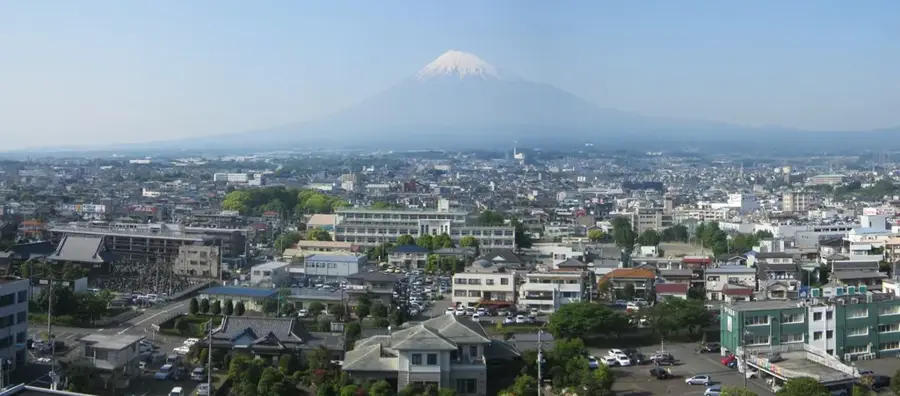
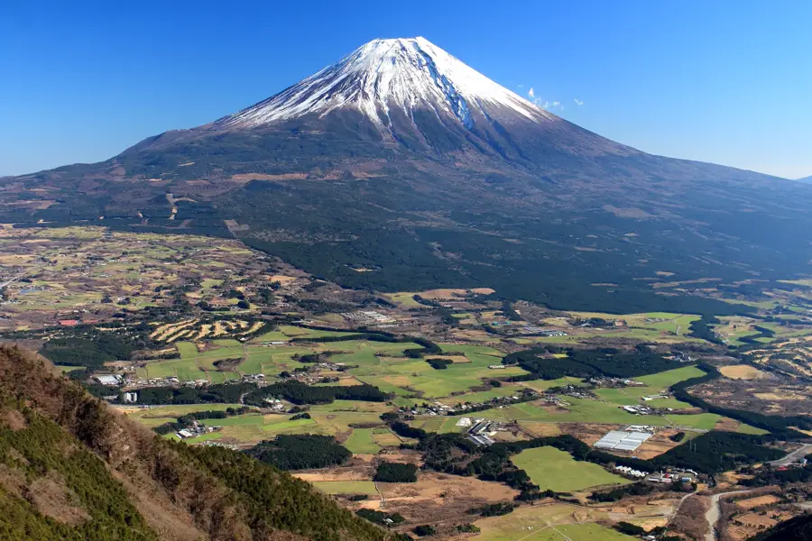
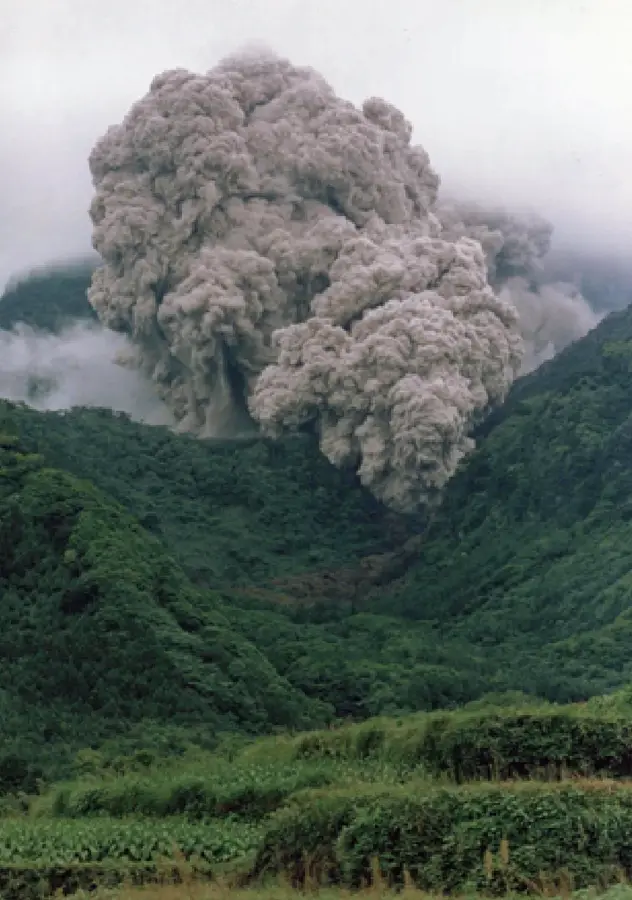
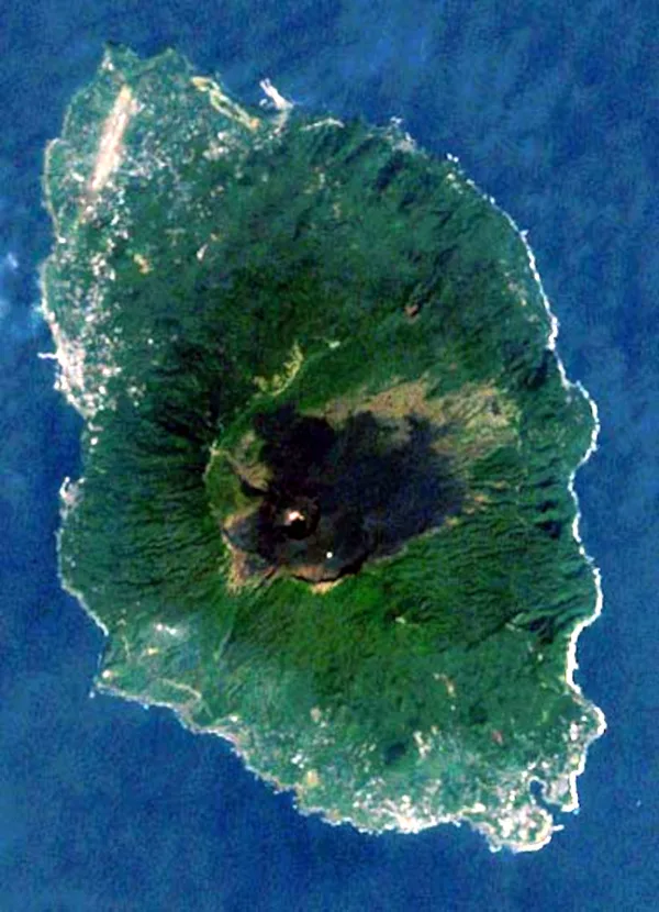
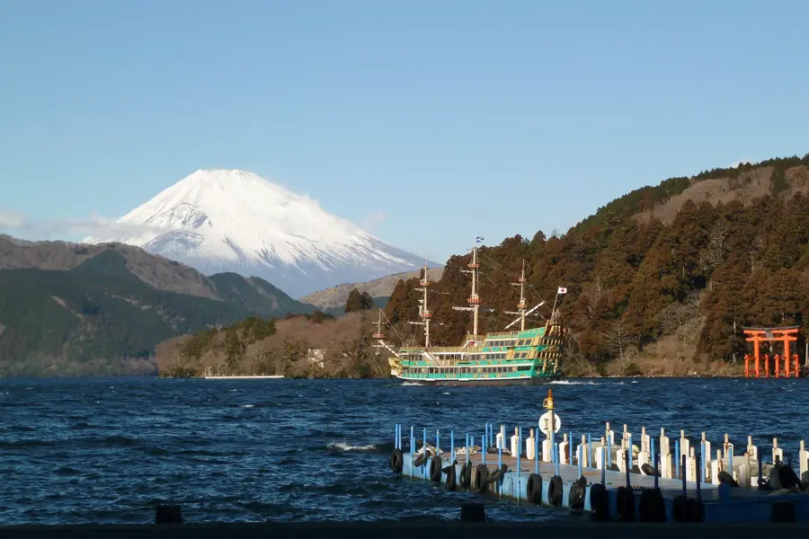
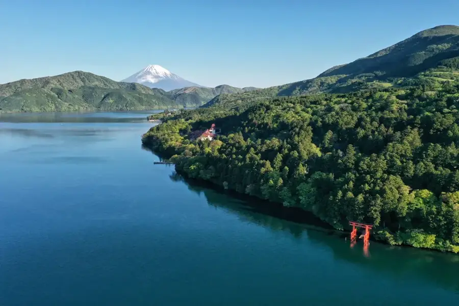
Mount Fuji is a remarkable feature of the geography and culture of Japan. Mount Fuji is the highest mountain in Japan and an active volcano. It is famous for its symmetrical cone and is considered a sacred mountain. Elevation: 3,776 meters. Last erupted in 1707. Part of Fuji-Hakone-Izu National Park. This landform shapes the topography of Japan, between the main islands of Honshu, Hokkaido, Kyushu, and Shikoku, dominated by volcanic mountain ranges. Like many notable places in Japan, it combines regional character with the legacy of the samurai tradition, Shinto and Buddhist heritage, and the modern industrial nation. Thus, this place contributes to the diverse profile of Japan, from Mount Fuji and Tokyo to the volcanic island arc along the Pacific.
- Location: Japan
- Top sights: Fuji Omuro Sengen Shrine · Kusushi Shrine · Mount Hoei
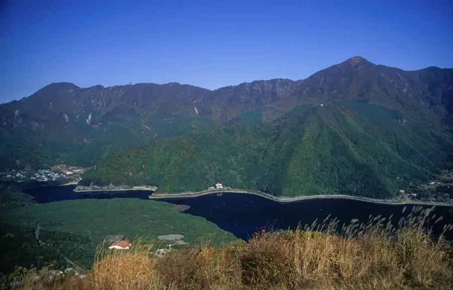
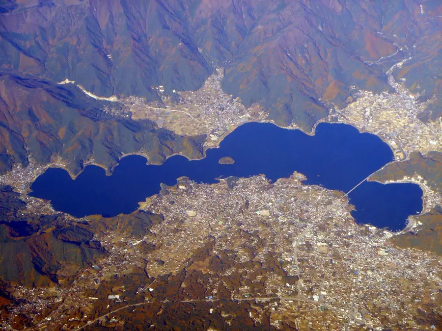
- Nearby: Lake Kawaguchi (13 km)
Best time to visit & climate
The most pleasant time to visit is Jun, Aug, Sep.
| Jan | Feb | Mar | Apr | May | Jun | Jul | Aug | Sep | Oct | Nov | Dec | |
|---|---|---|---|---|---|---|---|---|---|---|---|---|
| Avg °C | -1 | 1 | 4 | 9 | 15 | 19 | 23 | 23 | 20 | 14 | 8 | 2 |
| Rain mm | 61 | 71 | 115 | 127 | 140 | 174 | 209 | 159 | 201 | 193 | 85 | 64 |
📋 Practical info
Geography
Facts
- Mount Fuji is the highest mountain in Japan and an active volcano. It is famous for its symmetrical cone and is considered a sacred mountain.
- Located within the island nation of Japan in the North Pacific.
- Plays a role in the local identity of the region.
- Known for its scenic or cultural significance.
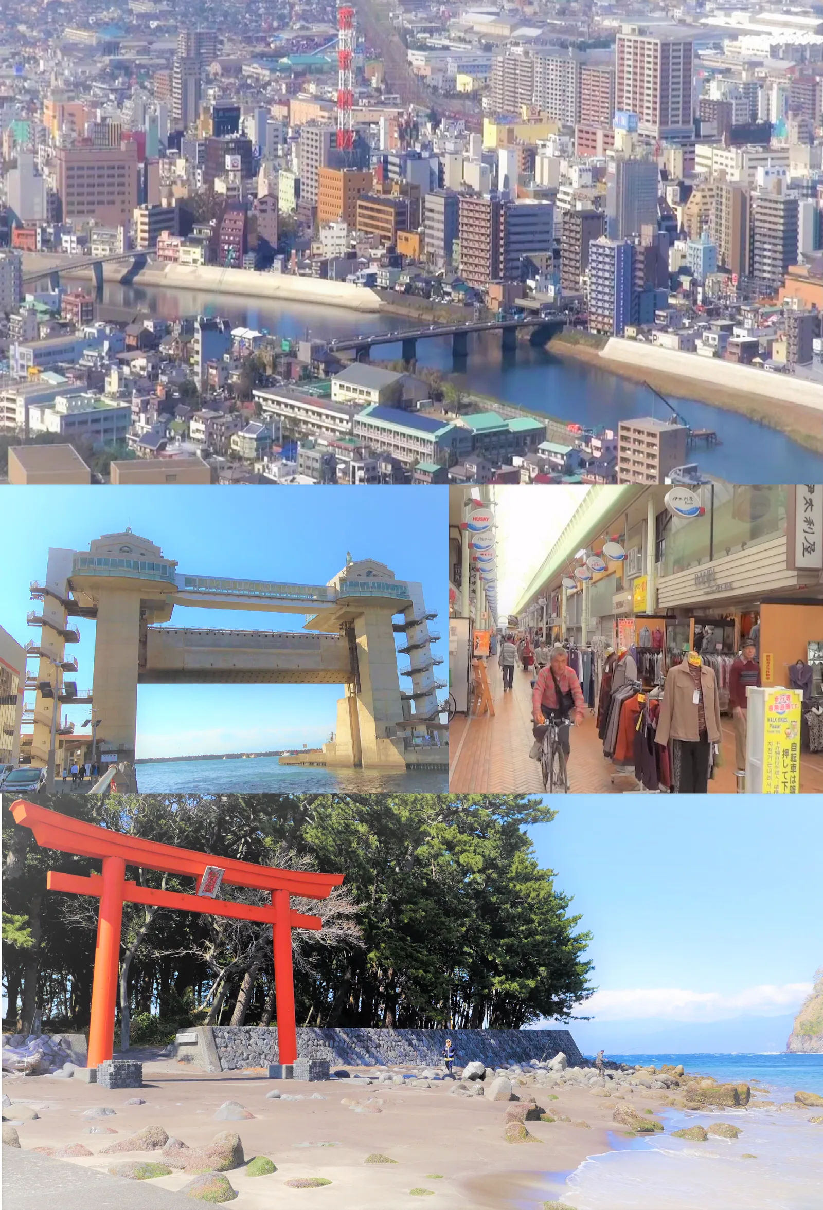
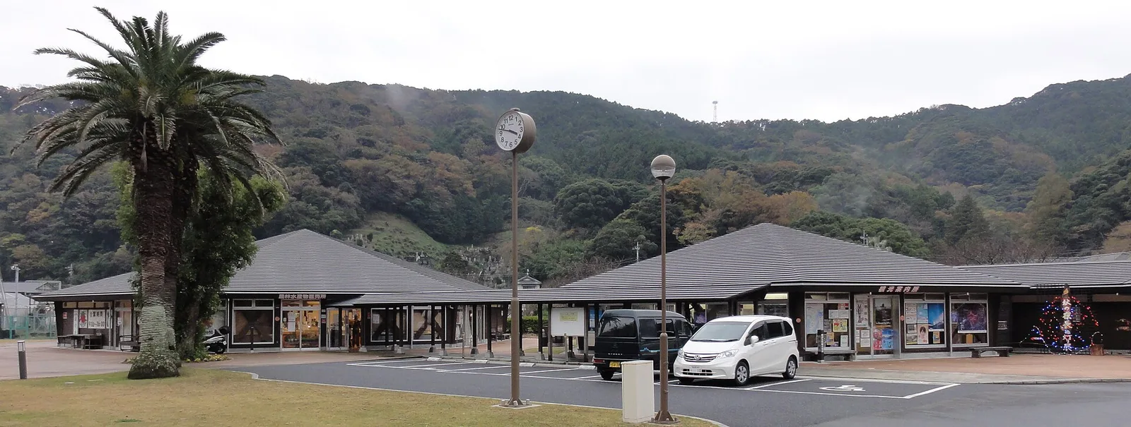
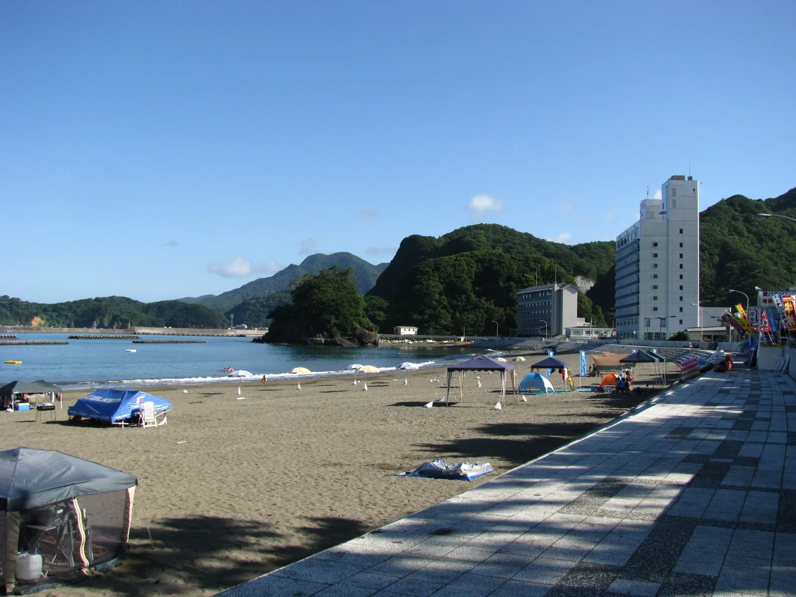
Explore nearby
Notable places around
Route planner — Car & Motorhome
Where do you start? We build the route here, with stops and country notes along the way.
© OpenStreetMap contributors · OpenRouteService
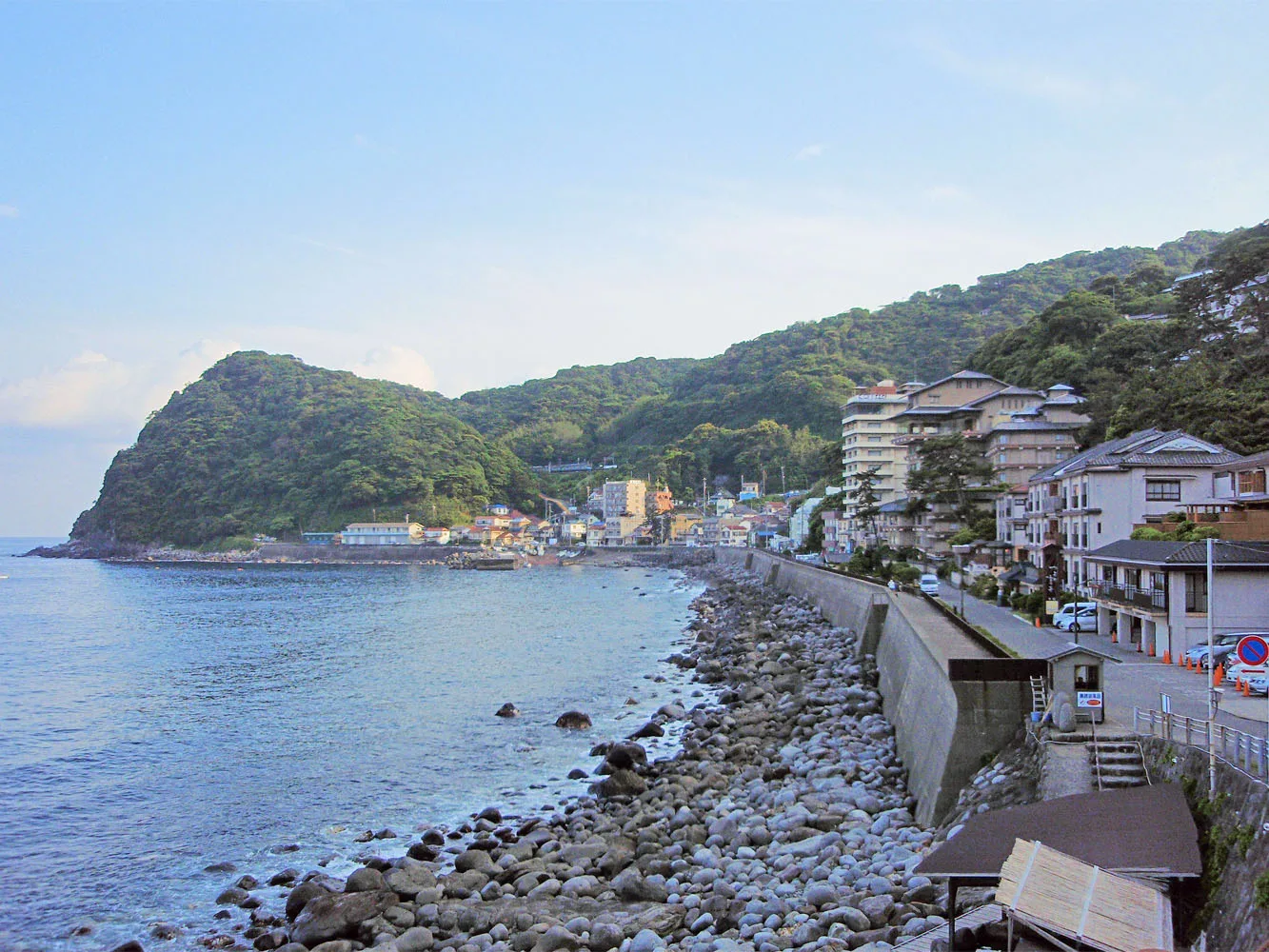
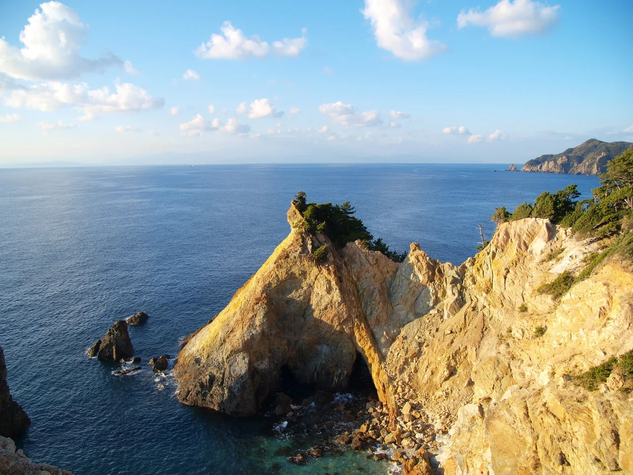
Sights in the town Mount Fuji (9)
Sights nearby
Frequently asked questions
When is the official climbing season for Mount Fuji?
Do I need a permit to climb?
How long does it take to climb to the summit?
Is the climb suitable for beginners?
What is 'Goraiko'?
Mount Fuji: where is it located?
Mount Fuji: what is there to see?
Mount Fuji: when is the best time to visit?
Mount Fuji: why is it worth visiting?

Nearby cities
History & landmarks
More places