Plizio Visual Lab
Kashima Industrial Zone
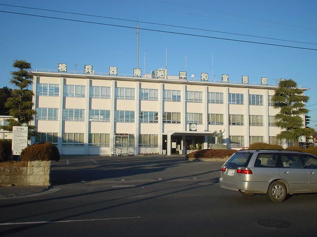
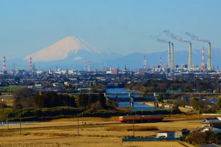
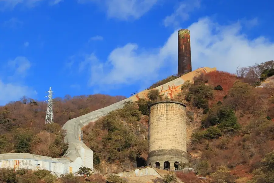
The Kashima Industrial Zone in Ibaraki Prefecture is one of Japan's most significant artificially created industrial hubs. Its development began in the 1960s as part of a large-scale national project to promote heavy industry outside the Greater Tokyo Area. The centerpiece of the facility is the Port of Kashima, which features a distinctive Y-shaped harbor deep enough to accommodate massive ore carriers and oil tankers. The zone focuses on steel production, petrochemicals, and energy generation, with companies like Nippon Steel operating massive plants there. The strategic planning involved a strict separation of industry and residential areas, making Kashima a model for modern urban planning in industrial regions. Despite economic shifts, Kashima remains a critical node for Japan's materials economy. The infrastructure includes state-of-the-art logistics systems and pipelines that efficiently connect various factories. The zone's significance extends beyond the pure industrial sector to regional employment and technological innovation in manufacturing.
- Location: Japan
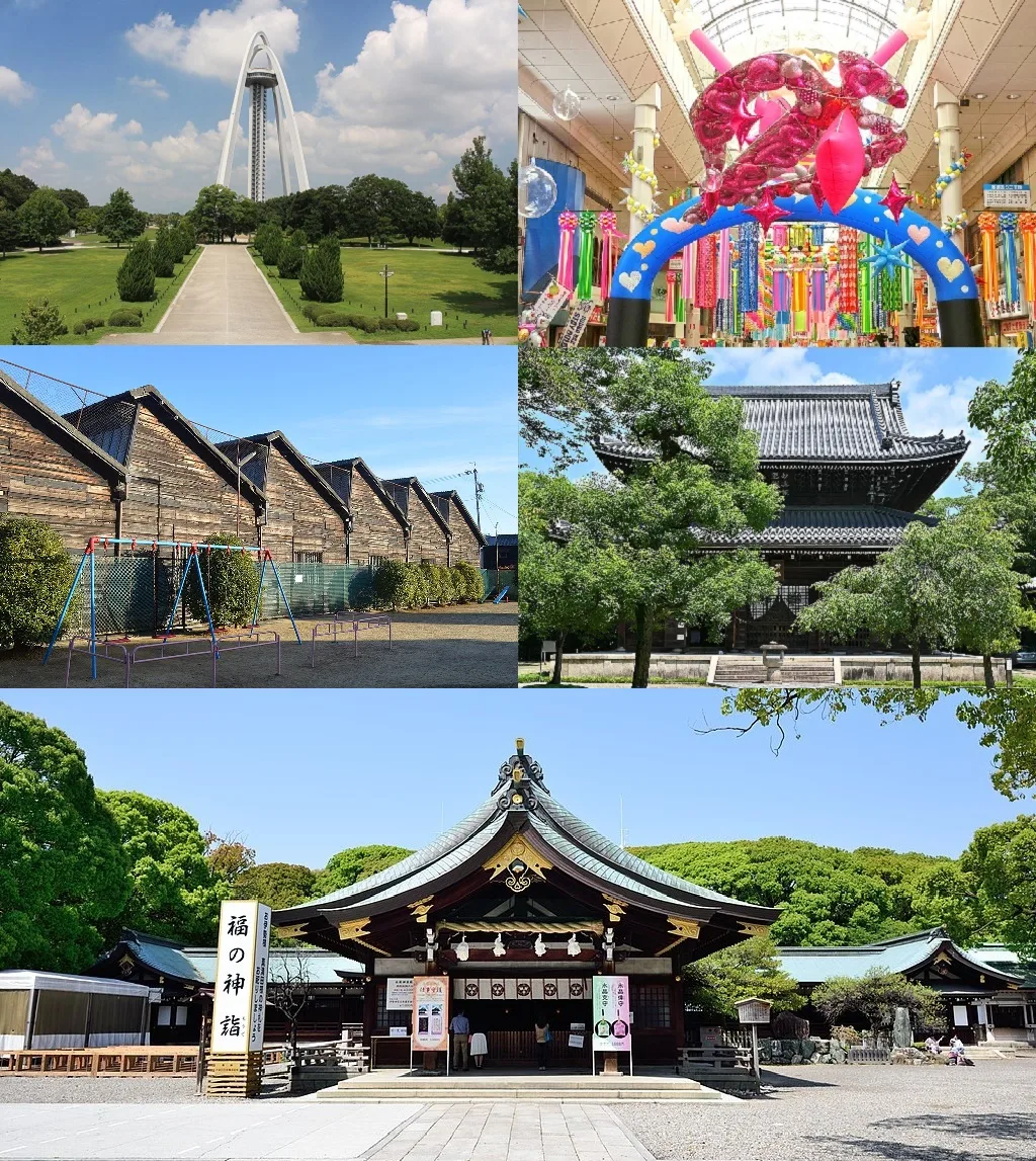
- Top sights: Ikisu-jinja Shrine · Ryu-jinja Shrine · Kashima Shrine
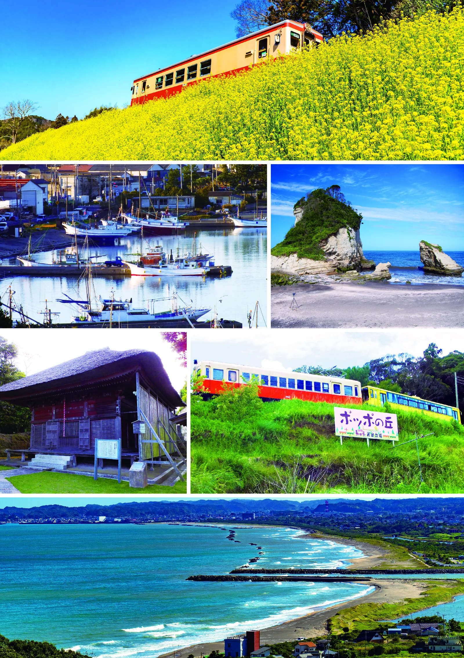
- Nearby: Oarai (37 km)
Best time to visit & climate
The most pleasant time to visit is May–Jul.
| Jan | Feb | Mar | Apr | May | Jun | Jul | Aug | Sep | Oct | Nov | Dec | |
|---|---|---|---|---|---|---|---|---|---|---|---|---|
| Avg °C | 6 | 6 | 9 | 13 | 18 | 21 | 25 | 26 | 23 | 19 | 14 | 8 |
| Rain mm | 69 | 62 | 106 | 122 | 136 | 162 | 153 | 138 | 195 | 225 | 101 | 72 |
📋 Practical info
Geography
Facts
- Construction of the artificial port began in 1963 by dredging sand dunes.
- The harbor features a distinctive Y-shape with a length of 4 km.
- One of the world's largest centers for the petrochemical industry.
- The navigation channel is 22 meters deep for ships up to 250,000 DWT.
- Nippon Steel operates one of Japan's most productive steelworks here.
- The zone encompasses over 160 companies from various industrial sectors.
Explore nearby
Notable places around
Route planner — Car & Motorhome
Where do you start? We build the route here, with stops and country notes along the way.
© OpenStreetMap contributors · OpenRouteService
Sights in the town Kashima Industrial Zone (9)
Sights nearby
Frequently asked questions
What is produced in the Kashima zone?
Can you visit the industrial facilities?
Why do photographers come here at night?
Where is this zone located?
Is the region interesting for tourists?
Kashima Industrial Zone: where is it located?
Kashima Industrial Zone: what is there to see?
Kashima Industrial Zone: when is the best time to visit?
Kashima Industrial Zone: why is it worth visiting?

Nearby cities