Plizio Visual Lab
Shimokita Peninsula Coast
Weather…
Water temperature…
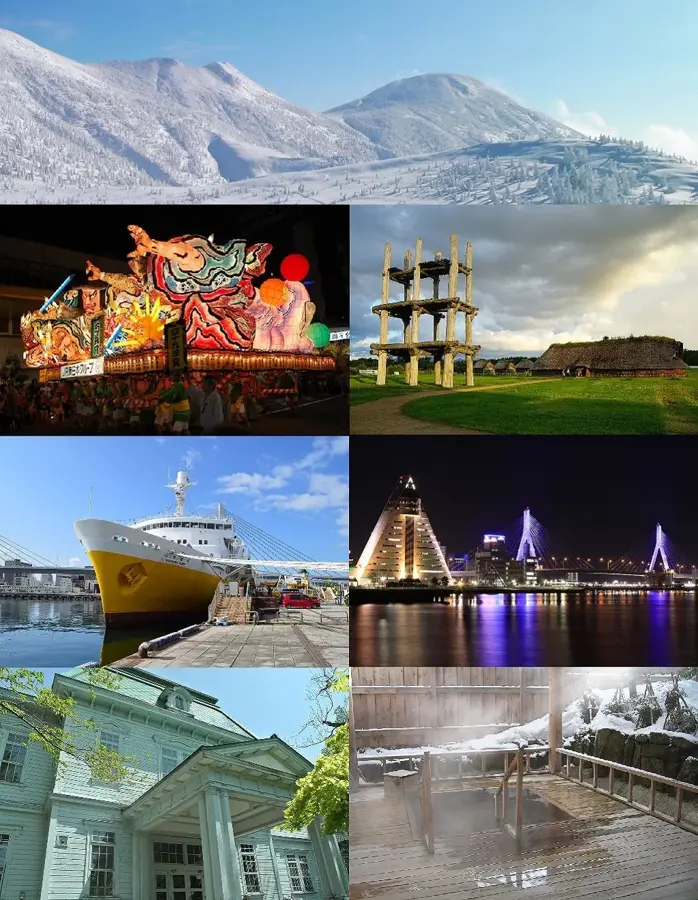
Shimokita Peninsula Coast is a remarkable feature of the geography and culture of Japan. The northeasternmost point of Honshū, shaped like an axe. Known for its harsh landscape and the Hotokegaura rock formations. Home to Mount Osore, a mythical place. The Yagen monkeys live here. Hotokegaura means 'Buddha Cove'. This landform shapes the topography of Japan, between the main islands of Honshu, Hokkaido, Kyushu, and Shikoku, dominated by volcanic mountain ranges. Like many notable places in Japan, it combines regional character with the legacy of the samurai tradition, Shinto and Buddhist heritage, and the modern industrial nation. Thus, this place contributes to the diverse profile of Japan, from Mount Fuji and Tokyo to the volcanic island arc along the Pacific.
- Location: Japan
- Top sights: Dynam amusement park · Tanabu Shrine · Tonamionsen
- Nearby: Hiranai (49 km)
📋 Practical info
Geography
Facts
- The northeasternmost point of Honshū, shaped like an axe. Known for its harsh landscape and the Hotokegaura rock formations.
- Located within the island nation of Japan in the North Pacific.
- Plays a role in the local identity of the region.
- Known for its scenic or cultural significance.
Explore nearby
Notable places around
Route planner — Car & Motorhome
Where do you start? We build the route here, with stops and country notes along the way.
© OpenStreetMap contributors · OpenRouteService
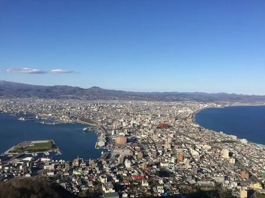
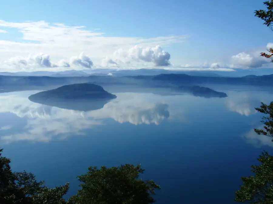
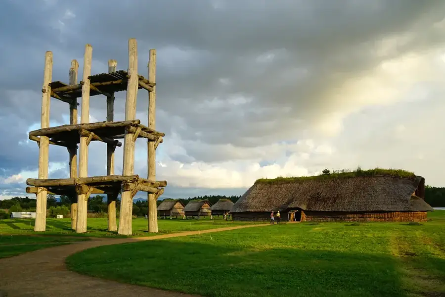
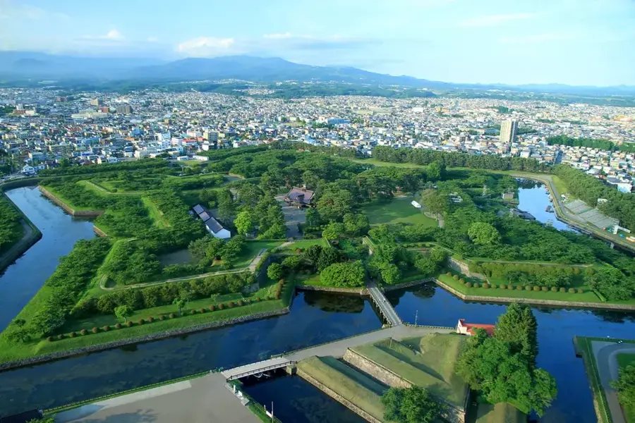
Sights in the town Shimokita Peninsula Coast (3)
Sights nearby
Frequently asked questions
Where is the Shimokita Peninsula located?
What is Mount Osore (Osorezan)?
What is Hotokegaura?
Can you see wild monkeys there?
What is Oma town known for?
Shimokita Peninsula Coast: where is it located?
Shimokita Peninsula Coast: what is there to see?
Shimokita Peninsula Coast: why is it worth visiting?

Nearby cities