Plizio Visual Lab
Tel Hazor
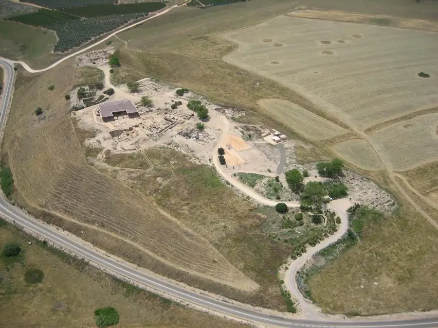
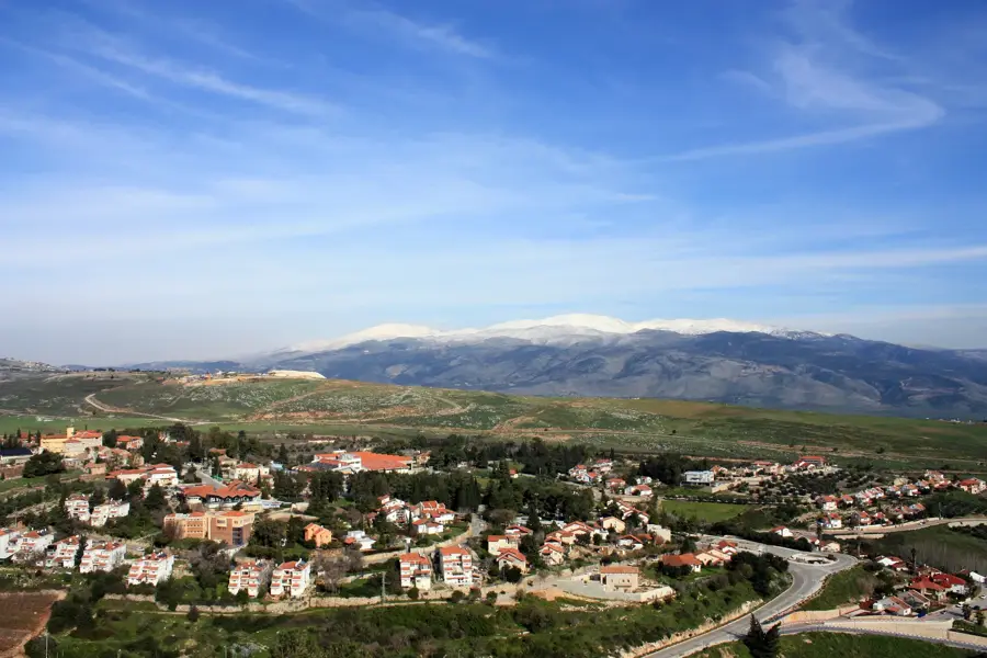
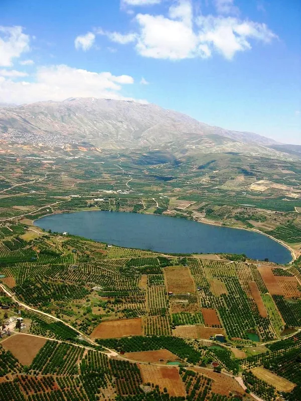
Tel Hazor is the largest and most significant archaeological site in the Levant, located in the Upper Galilee region of Israel. During the 2nd millennium BCE, it served as the capital of the Canaanite kingdom, occupying a total area of approximately 80 hectares. The site consists of a 12-hectare upper city (acropolis) and a massive lower city, which were protected by formidable defensive ramparts. Archaeological findings include monumental palaces, basalt-lined temples, and a sophisticated water system that reaches the water table. A significant destruction layer from the 13th century BCE is often linked to the biblical conquest under Joshua. During the Israelite period, King Solomon fortified the city, as evidenced by the discovery of a characteristic six-chambered gate. The city finally fell to the Assyrian king Tiglath-Pileser III in 732 BCE, leading to its permanent decline. In 2005, it was designated a UNESCO World Heritage site.
- Location: Israel
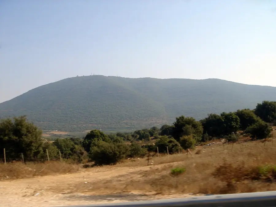
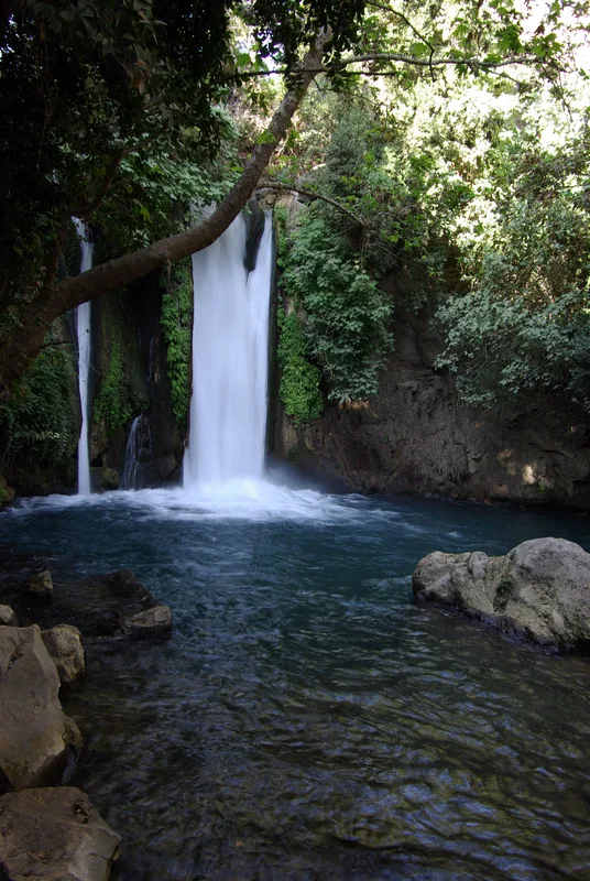
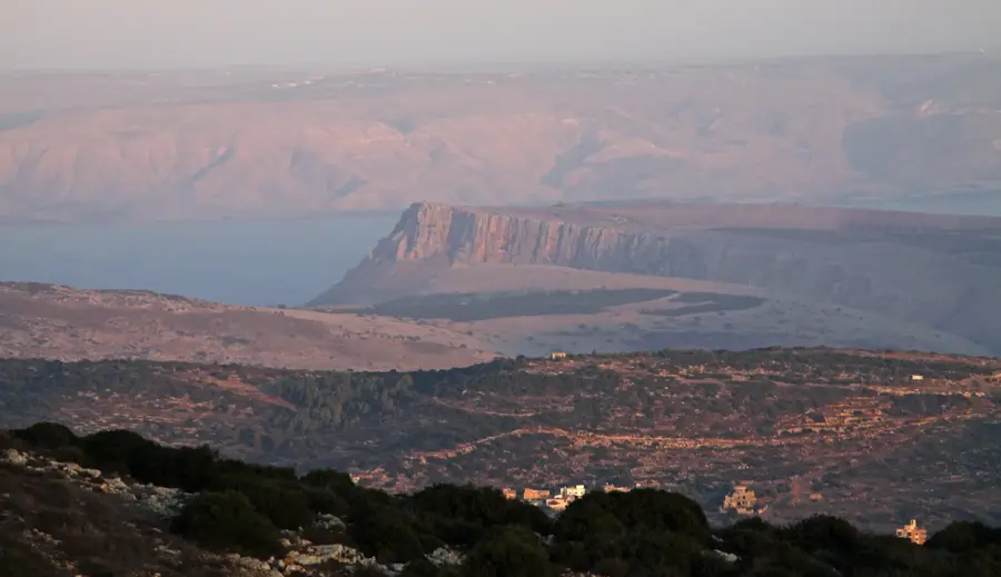
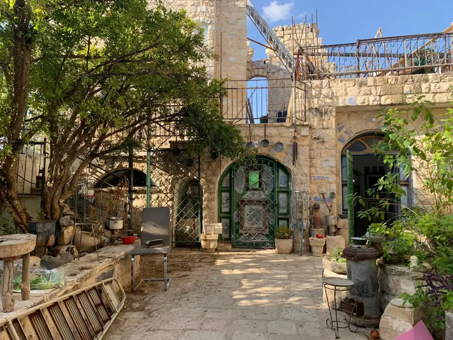
- Top sights: Yarda · Marut hakdumot · Horbat Qazyon
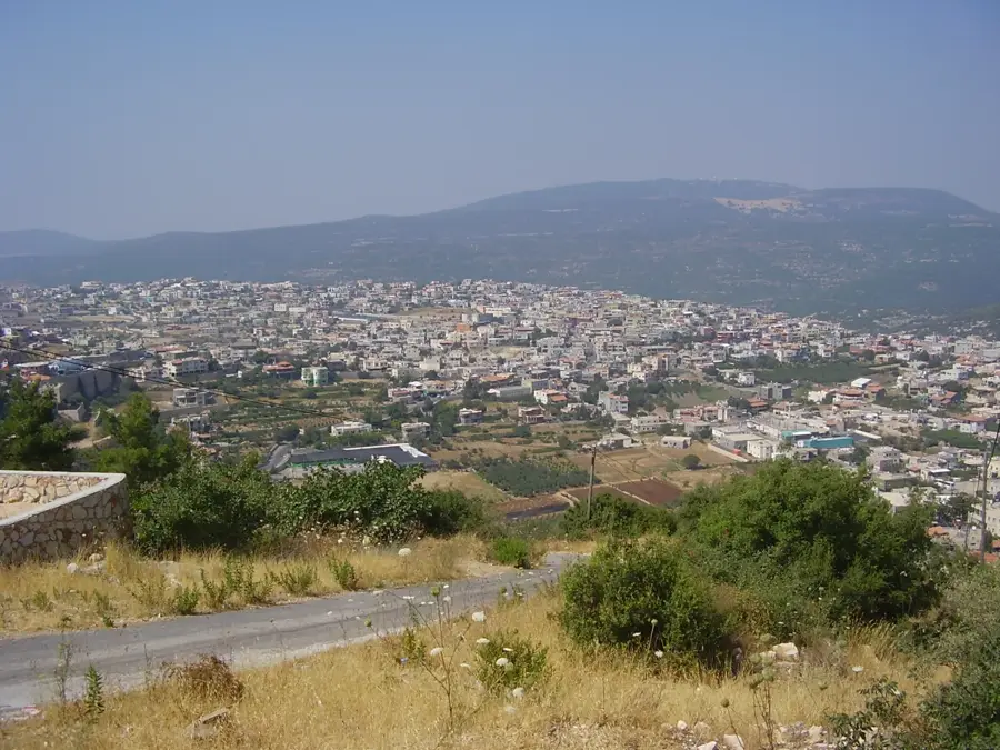
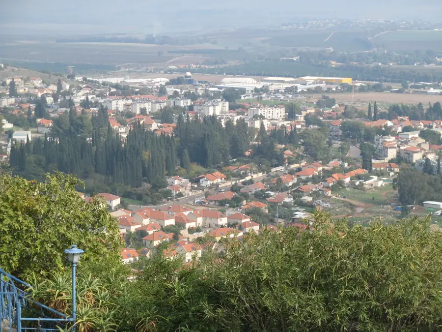
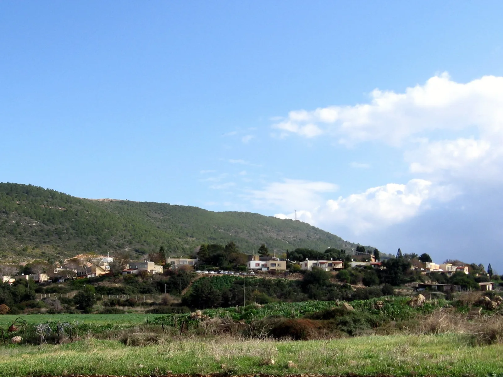
- Nearby: Rosh Pinna (5 km)
Best time to visit & climate
The most pleasant time to visit is May, Jun, Oct.
| Jan | Feb | Mar | Apr | May | Jun | Jul | Aug | Sep | Oct | Nov | Dec | |
|---|---|---|---|---|---|---|---|---|---|---|---|---|
| Avg °C | 9 | 10 | 13 | 17 | 22 | 25 | 27 | 27 | 25 | 22 | 16 | 11 |
| Rain mm | 90 | 77 | 38 | 21 | 6 | 1 | 0 | 0 | 2 | 13 | 45 | 77 |
📋 Practical info
Geography
Facts
- Largest Canaanite city with a total area of 80 hectares
- Designated as a UNESCO World Heritage site in 2005
- Destroyed by Assyrian King Tiglath-Pileser III in 732 BCE
- Features a monumental six-chambered gate from the Solomonic era
- Mentioned in 19th-century BCE Egyptian Execration Texts
- Sophisticated 30-meter deep water system reaching the water table
Explore nearby
Notable places around
Route planner — Car & Motorhome
Where do you start? We build the route here, with stops and country notes along the way.
© OpenStreetMap contributors · OpenRouteService
Sights in the town Tel Hazor (14)
Sights nearby
Frequently asked questions
What is special about Tel Hazor?
Do you need a guide?
How long does the visit take?
Is there shade?
Is it family-friendly?
Tel Hazor: where is it located?
Tel Hazor: what is there to see?
Tel Hazor: when is the best time to visit?
Tel Hazor: why is it worth visiting?

Nearby cities
History & landmarks
Nature
More places