Plizio Visual Lab
Mount Agung
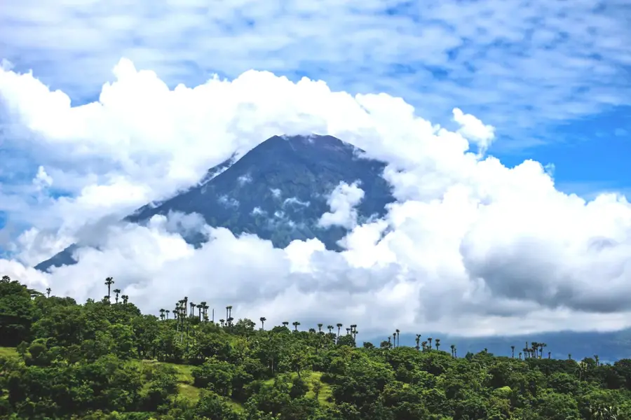
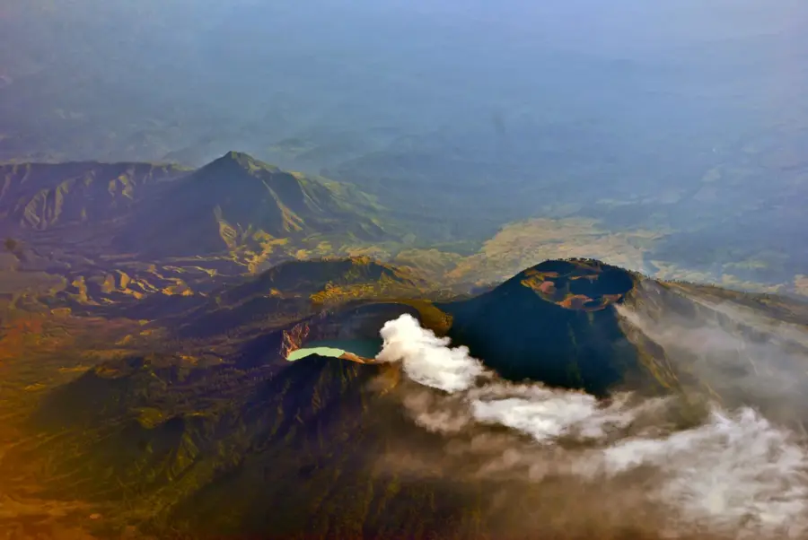
Mount Agung is the highest and most sacred mountain on the island of Bali, Indonesia, standing as a majestic stratovolcano with a nearly well-suited conical shape. Rising to an elevation of 3,031 meters, its massive relief dominates the skyline of eastern Bali and dictates the island's local weather patterns and rainfall distribution. For Balinese Hindus, Agung is the spiritual axis of the world and the seat of the gods; the island's most important temple complex, Pura Besakih, is perched high on its slopes. Geologically, the volcano is highly active and dangerous. Its catastrophic eruption in 1963 remains one of the most significant volcanic events in modern Indonesian history, resulting in extensive lava flows and devastating lahars that permanently altered the surrounding landscape. The volcano's steep slopes transition from lush tropical forests to a barren, rocky summit surrounding a deep central crater. Despite the ever-present volcanic threat, the mineral-rich ash has created exceptionally fertile soil at the mountain's base, supporting intensive rice cultivation. Climbing Mount Agung is considered a spiritual pilgrimage by many and gives hikers unparalleled views across Bali and toward the neighboring island of Lombok.
- Location: Indonesia
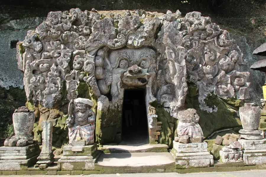
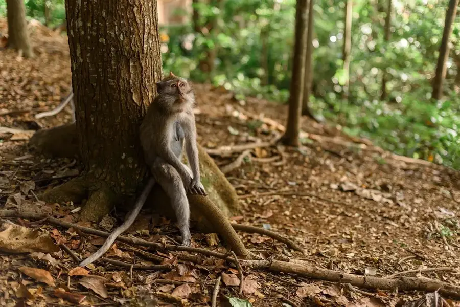
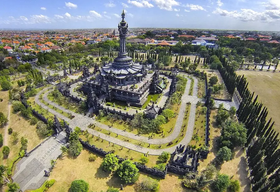
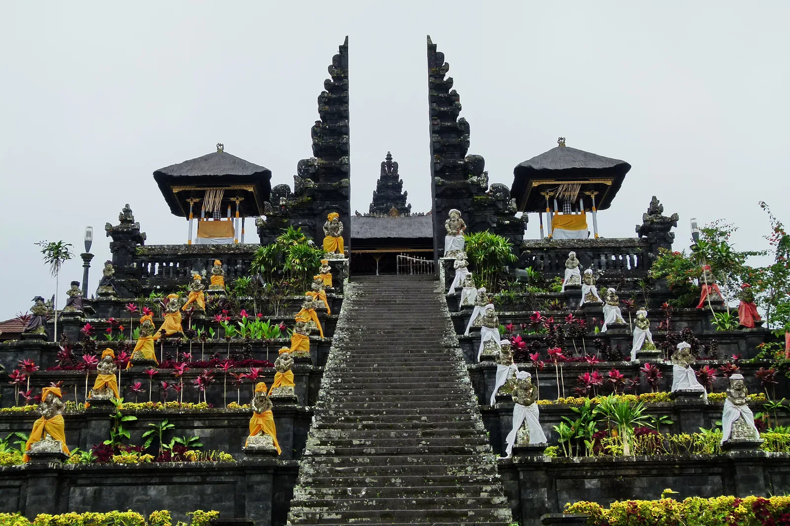
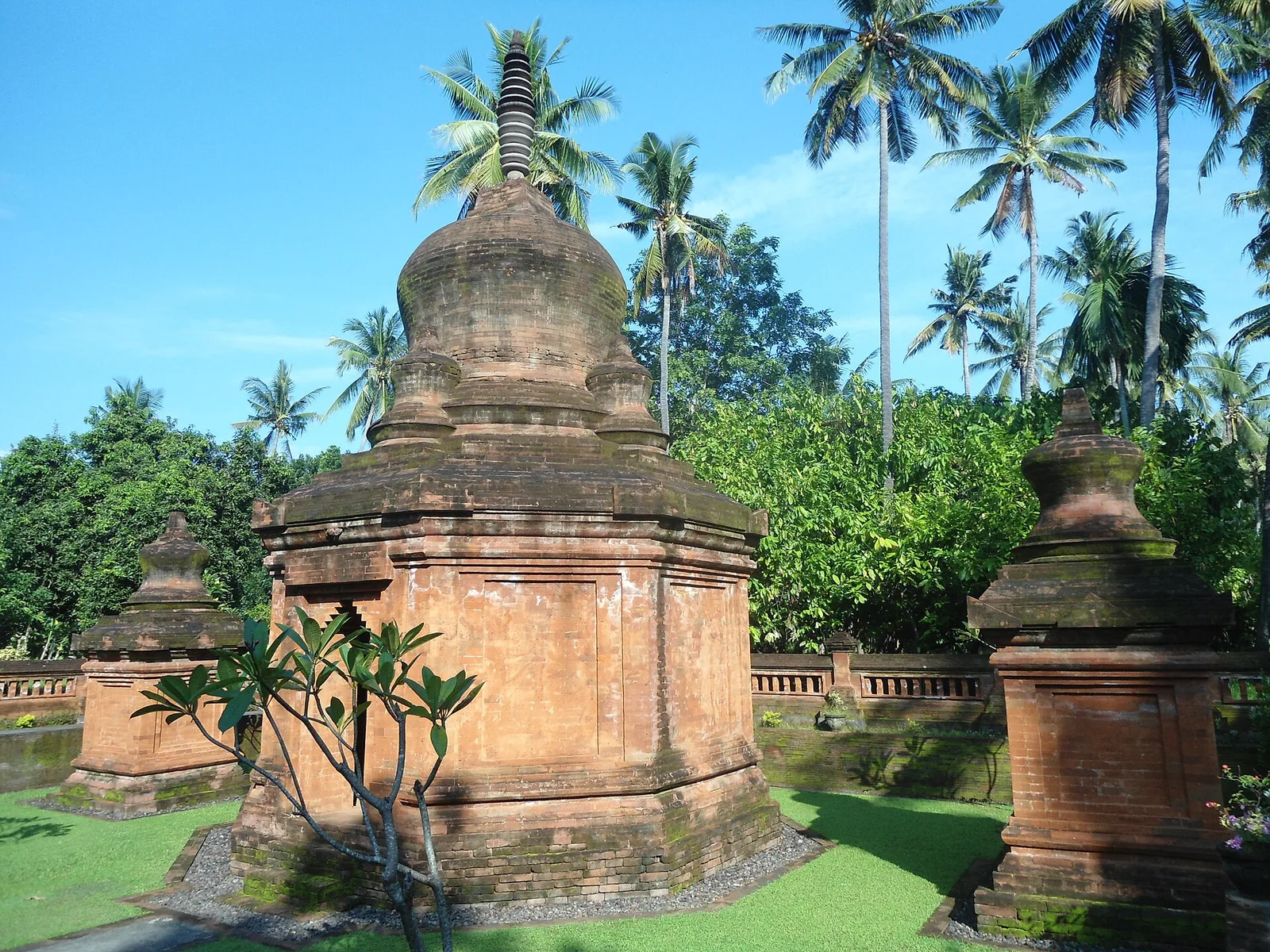
- Top sights: Pura Besakih · Mount Agung · Pura Pesimpangan
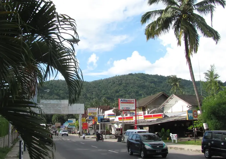
- Nearby: Padangbai (9 km)
Best time to visit & climate
The most pleasant time to visit is Jul–Sep.
| Jan | Feb | Mar | Apr | May | Jun | Jul | Aug | Sep | Oct | Nov | Dec | |
|---|---|---|---|---|---|---|---|---|---|---|---|---|
| Avg °C | 27 | 27 | 27 | 27 | 27 | 26 | 25 | 25 | 26 | 27 | 28 | 27 |
| Rain mm | 318 | 251 | 207 | 123 | 82 | 46 | 33 | 16 | 42 | 62 | 159 | 296 |
📋 Practical info
Geography
Facts
- Mount Agung is the highest point in Bali at 3,031 meters above sea level.
- The volcano is part of the Sunda Arc, a chain of active volcanoes in Indonesia.
- The massive 1963 eruption killed over 1,000 people and lasted nearly a year.
- Pura Besakih, the 'Mother Temple,' survived the 1963 lava flows by mere meters.
- The summit features a deep crater roughly 500 meters in diameter.
- Considered the 'Navel of the World' by Balinese Hindus.
- Visible from the summit of Mount Rinjani on the island of Lombok.
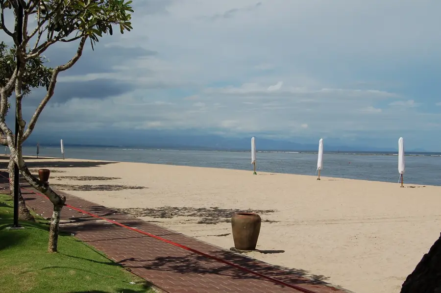
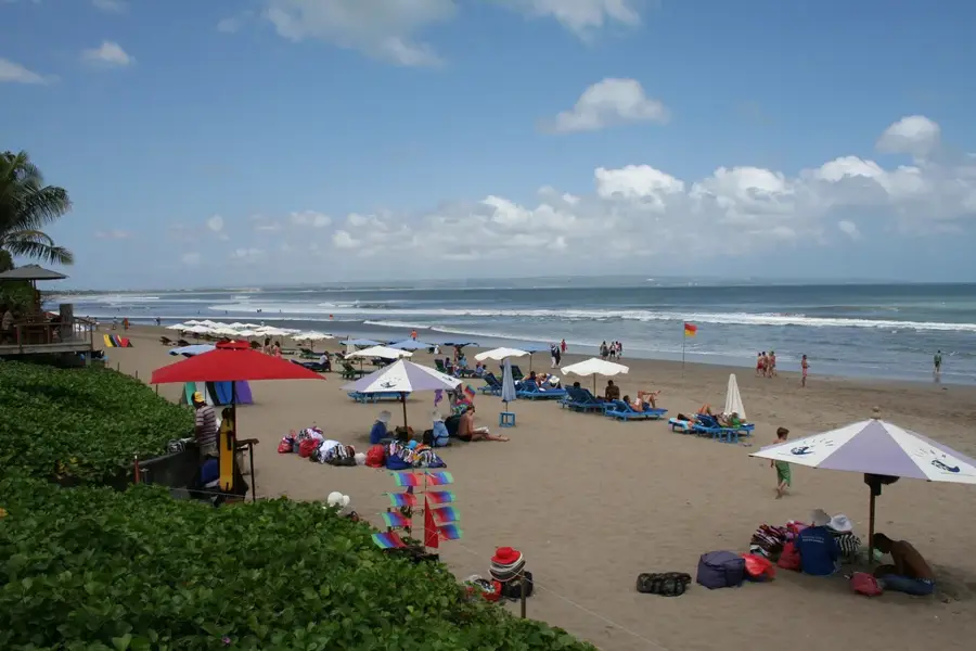
Explore nearby
Notable places around
Route planner — Car & Motorhome
Where do you start? We build the route here, with stops and country notes along the way.
© OpenStreetMap contributors · OpenRouteService
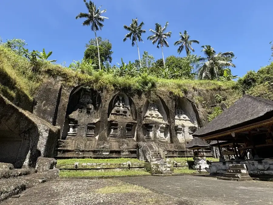
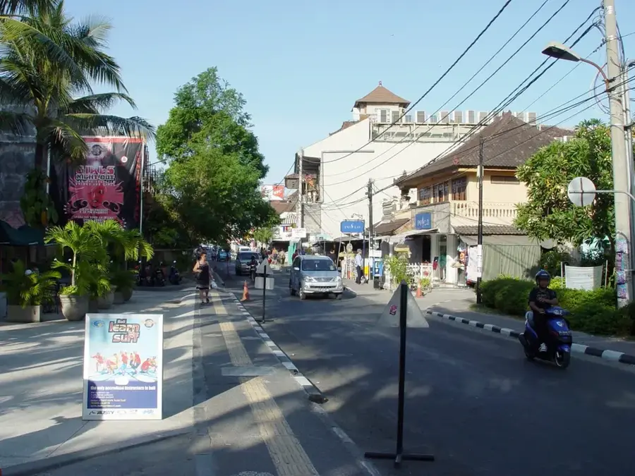
Sights in the town Mount Agung (11)
Sights nearby
Frequently asked questions
Is Mount Agung sacred?
How long does it take to climb Mt Agung?
Is a guide required for Mount Agung?
Can you climb the volcano during religious ceremonies?
When is the best time for the trek?
Mount Agung: where is it located?
Mount Agung: what is there to see?
Mount Agung: when is the best time to visit?
Mount Agung: why is it worth visiting?

Nearby cities

More places