Plizio Visual Lab
Pangong Tso Lake
Weather…
Water temperature…
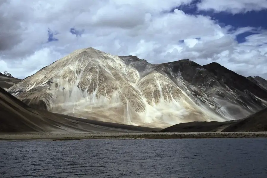
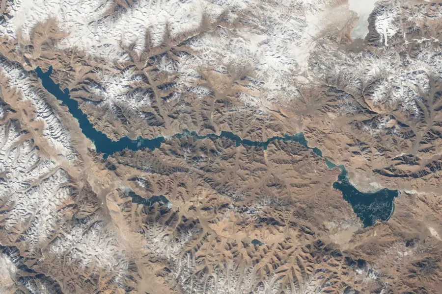
Pangong Tso is an endorheic lake in the Himalayas, situated at a staggering altitude of approximately 4,225 meters above sea level. Extending over 134 kilometers in length, the lake is trans-boundary, with roughly one-third of its area in India (Ladakh) and the remaining part in Tibet (China). It is world-renowned for its brilliant blue waters that shift shades from turquoise to deep indigo throughout the day. Despite being a saline lake, its surface freezes completely during the harsh winter months due to sub-zero temperatures. The surrounding terrain is stark and mountainous, providing a dramatic backdrop to the bustling colors of the water. Because it lies in a strategically sensitive border zone, domestic and international tourists require special permits to visit. The lake is also an essential breeding ground for migratory birds, such as the bar-headed goose. In recent decades, Pangong Tso has become a major tourist attraction, partly due to its frequent appearance in Indian cinema.
Explore on the map
How well do you know India?
Find cities, landscapes and regions in 10 varied challenges on the interactive map.
Your journey, your memory
A postcard from Pangong Tso Lake
Turn your own photo into a personal postcard with a local stamp. Free and no sign-up required.
Create a postcard- Location: India
- Highlights: Pangong Lake · Gompa
- Nearby: Pangong Tso (11 km)
Best time to visit & climate
The most pleasant time to visit is Jun–Aug.
| Jan | Feb | Mar | Apr | May | Jun | Jul | Aug | Sep | Oct | Nov | Dec | |
|---|---|---|---|---|---|---|---|---|---|---|---|---|
| Avg °C | -20 | -18 | -13 | -7 | -3 | 2 | 6 | 6 | 1 | -6 | -13 | -18 |
| Rain mm | 12 | 11 | 12 | 8 | 9 | 11 | 28 | 31 | 10 | 4 | 8 | 7 |
📋 Practical info
Geography
Facts
- The lake is positioned at an altitude of 4,225 meters in the Himalayas.
- Roughly 45 kilometers of its 134-kilometer length lies within India.
- At its widest point, Pangong Tso measures approximately 5 kilometers across.
- Despite its salinity, the lake freezes over completely during winter.
- The maximum estimated depth of the lake is about 100 meters.
- The name Pangong Tso translates from Tibetan as 'high grassland lake'.
Explore nearby
Notable places around
Route planner — Car & Motorhome
Where do you start? We build the route here, with stops and country notes along the way.
© OpenStreetMap contributors · OpenRouteService
Sights in the town Pangong Tso Lake (2)
Sights nearby
Frequently asked questions
What is the altitude of Pangong Lake?
Is a special permit needed?
Is the water salty?
How long is the drive from Leh?
Can you camp near the lake?
Pangong Tso Lake: where is it located?
Pangong Tso Lake: what is there to see?
Pangong Tso Lake: when is the best time to visit?
Pangong Tso Lake: why is it worth visiting?