Plizio Visual Lab
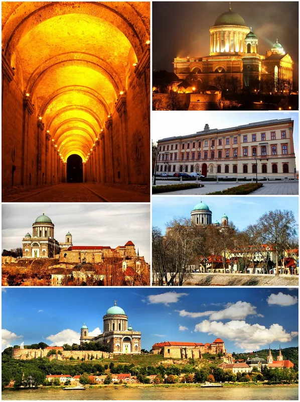
Danube Bend
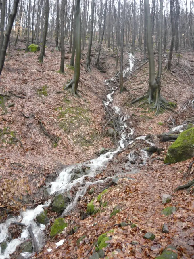
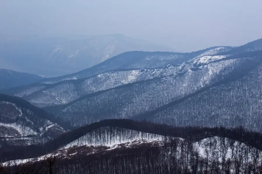
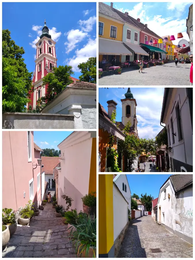
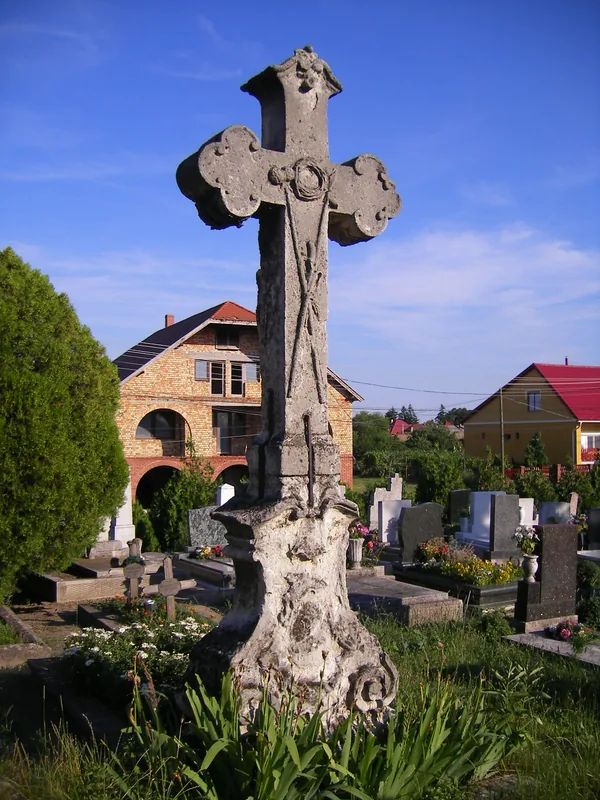
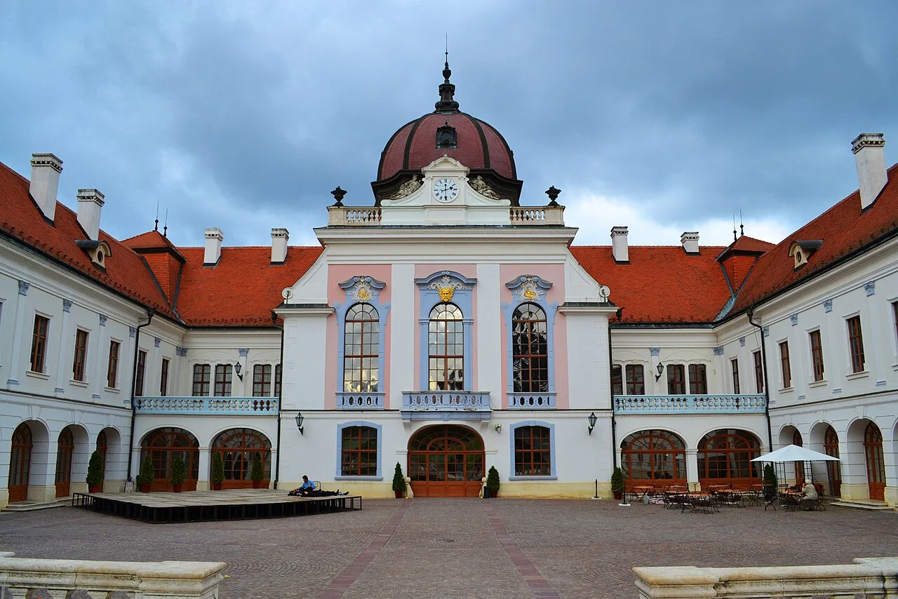
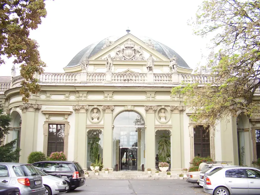
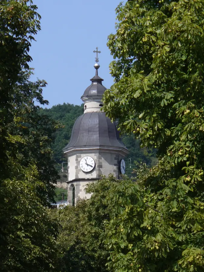
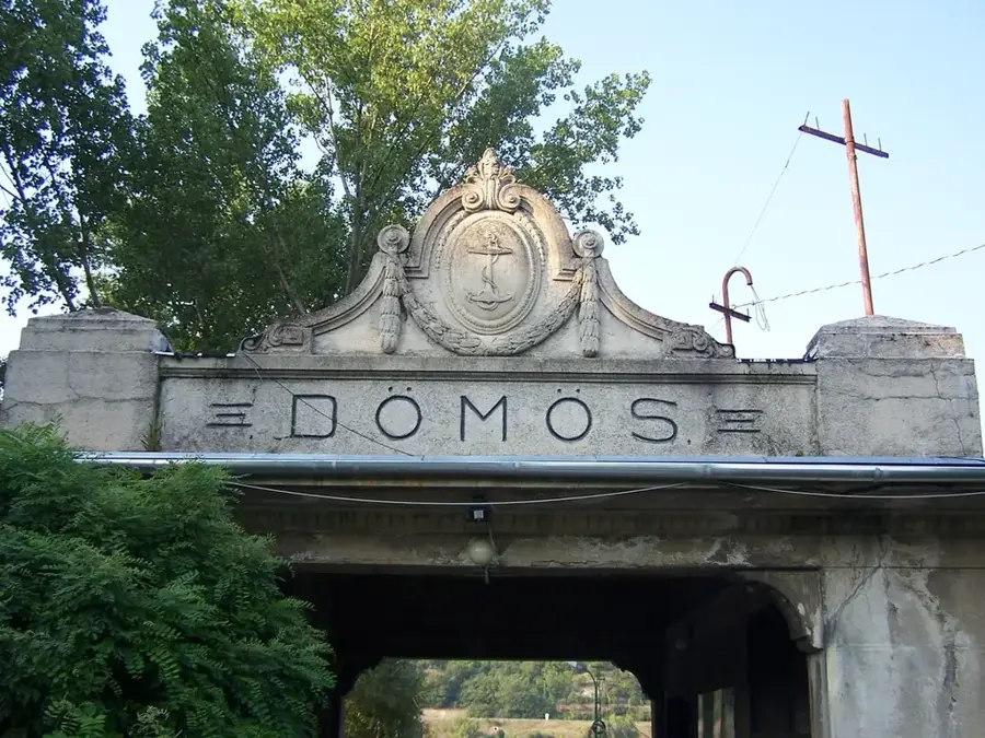
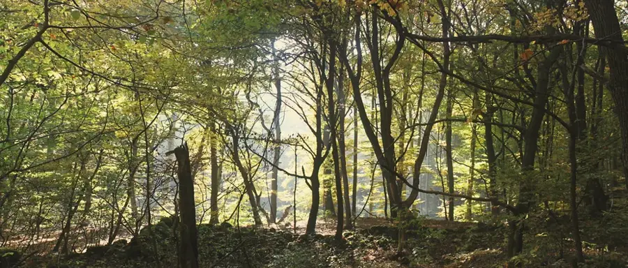
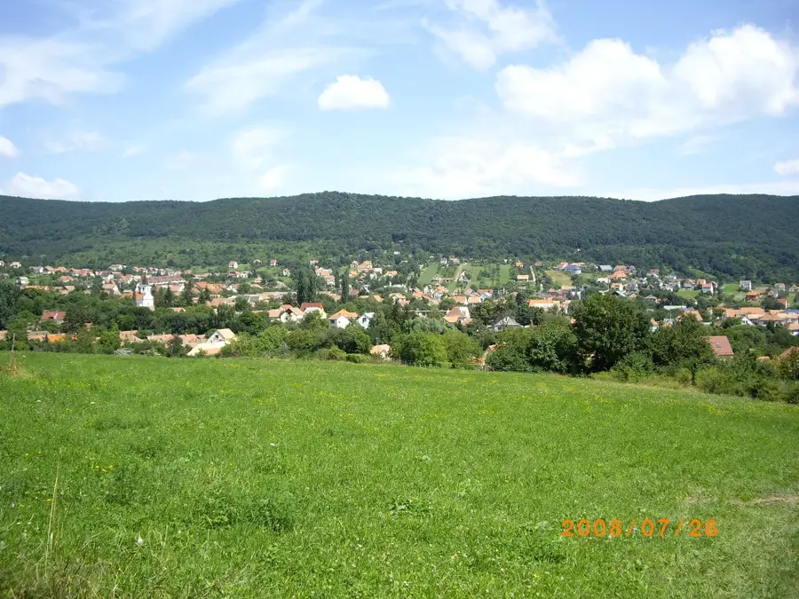
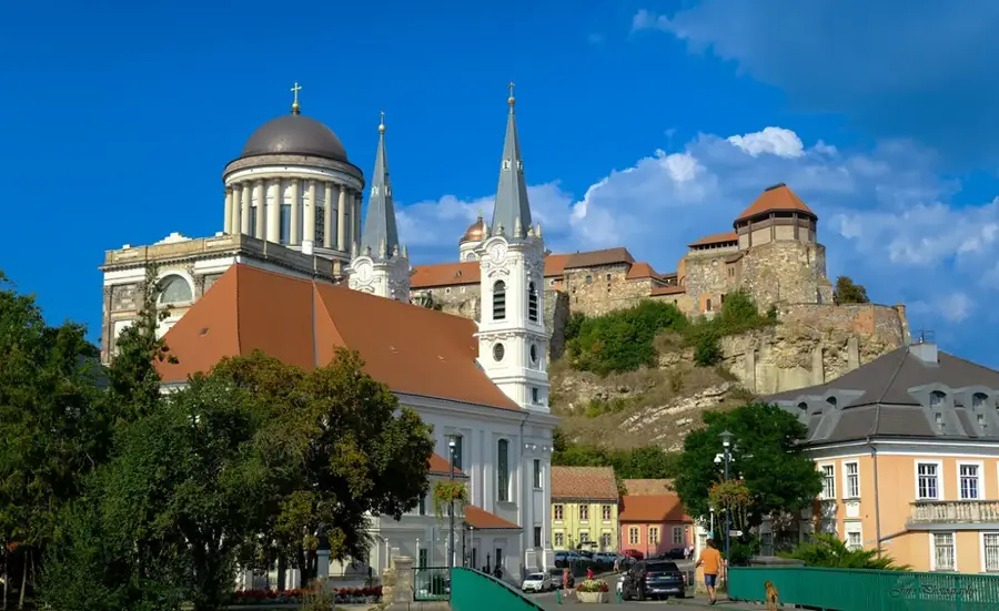
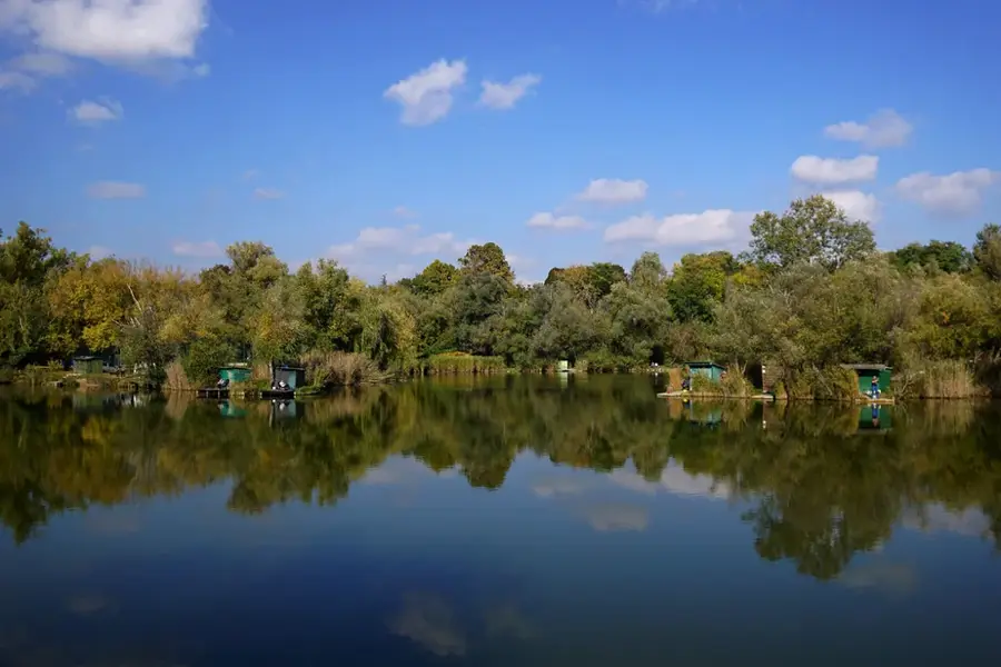
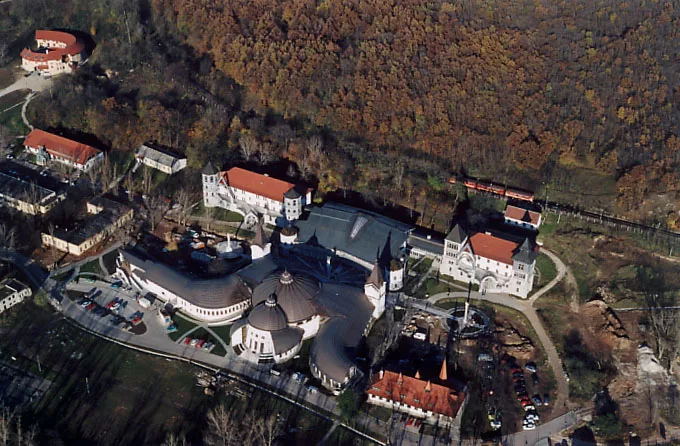
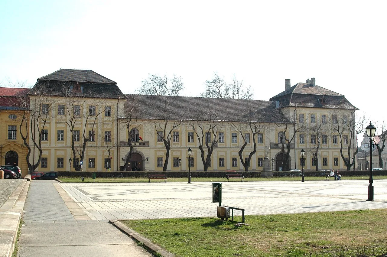
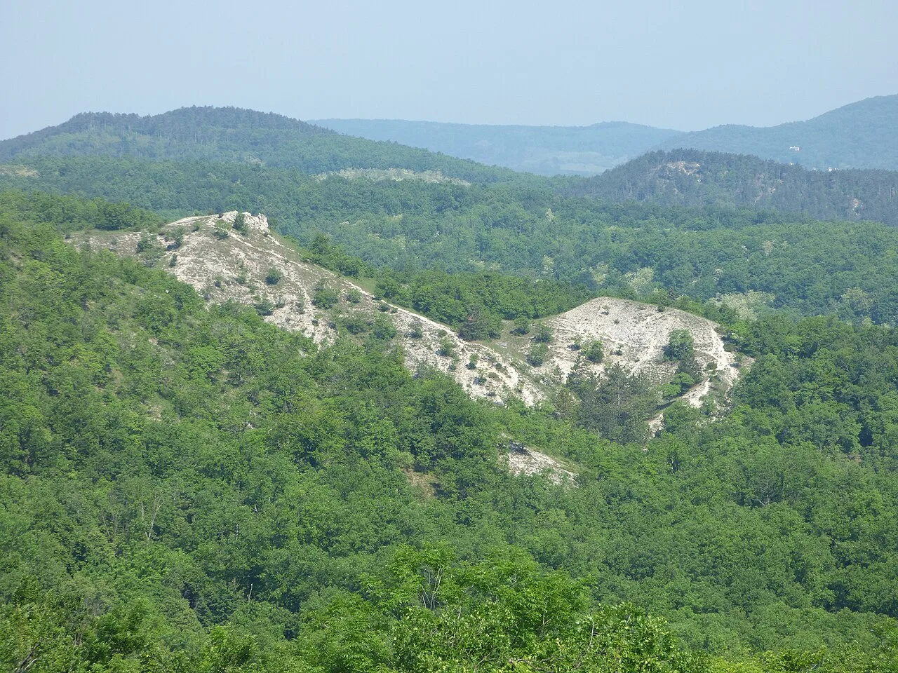
The Danube Bend is one of the most important tourist regions in Hungary, where the river breaks through the mountains between Esztergom and Budapest. This 20-kilometer stretch features a sharp U-turn near Visegrád, surrounded by the Pilis and Börzsöny mountains. Historically, the area has been a strategic defensive line since Roman times, with numerous fortifications built along the banks. It encompasses several historical towns such as Vác, Szentendre, and Nagymaros, each contributing to the cultural heritage of the region. The landscape is part of the Duna-Ipoly National Park and has been on the UNESCO World Heritage Tentative List since 2000. It provides diverse recreational activities, from river cruises to steep mountain hiking paths with panoramic views.
- Location: Hungary
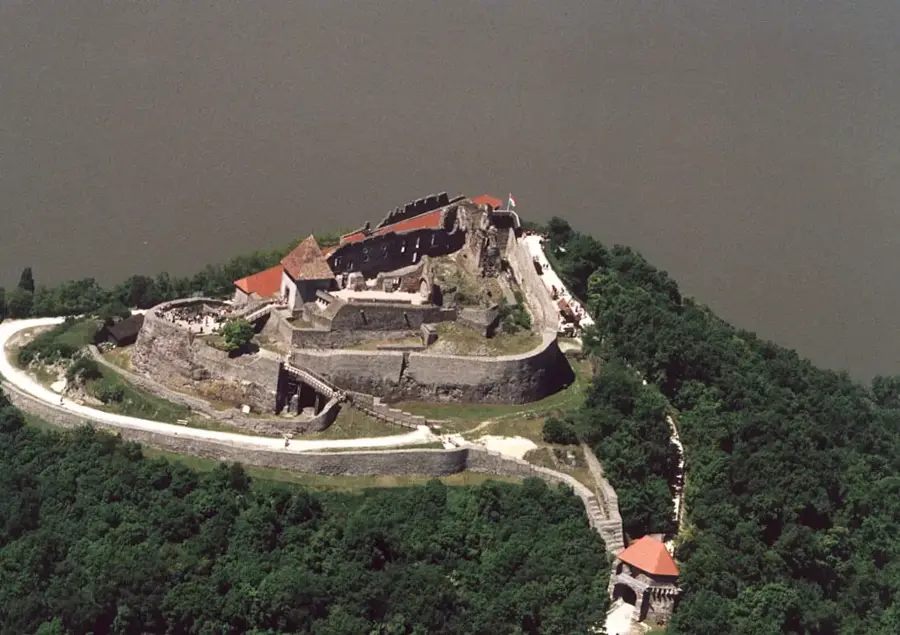
- Top sights: korall kilátóhely · Visegrád Citadel · Vármúzeum
- Nearby: Dorog (20 km)
Best time to visit & climate
The most pleasant time to visit is Jun–Aug.
| Jan | Feb | Mar | Apr | May | Jun | Jul | Aug | Sep | Oct | Nov | Dec | |
|---|---|---|---|---|---|---|---|---|---|---|---|---|
| Avg °C | -2 | 0 | 5 | 11 | 16 | 20 | 22 | 22 | 16 | 10 | 5 | -1 |
| Rain mm | 44 | 42 | 42 | 37 | 69 | 71 | 74 | 65 | 55 | 52 | 48 | 46 |
📋 Practical info
Geography
Facts
- Added to the UNESCO Tentative List in 2000
- Length of the core section is approximately 20 kilometers
- Highest point in the Börzsöny mountains is Csóványos at 938 meters
- Part of the Duna-Ipoly National Park founded in 1997
- Key historical cities include Esztergom, Visegrád, and Vác
- Former site of the Roman Limes defensive line along the river
Explore nearby
Notable places around
Route planner — Car & Motorhome
Where do you start? We build the route here, with stops and country notes along the way.
© OpenStreetMap contributors · OpenRouteService
Sights in the town Danube Bend (10)
Palotakápolna
Chapel of the former royal palace. Gothic architecture, restored.
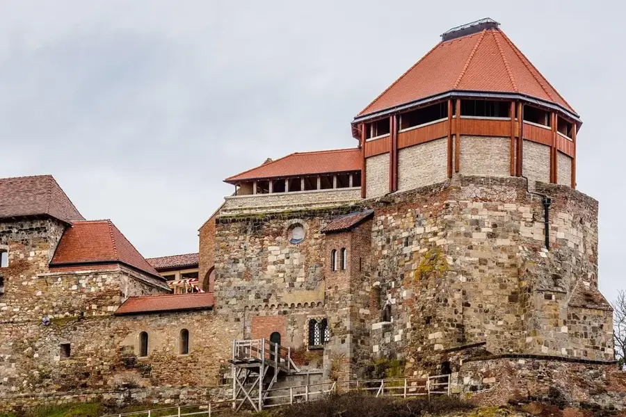
Visegrádi Királyi Palota
Excavated ruins of the royal palace, Gothic-Renaissance, 14th-15th centuries.
Szikla
Rock formation with a view. Natural lookout point over the Danube.
King Mátyás Museum🏛 museum
Museum in the royal palace dedicated to King Matthias. Renaissance art and everyday objects.
Szabadtéri várszínház
Open-air stage in the castle courtyard. Summer theater performances and concerts.
Esperesi templom romja
Ruins of a medieval church. Only foundations and wall fragments remain visible.
Sights nearby
Frequently asked questions
What is the Danube Bend?
Which cities are worth visiting?
Where is the best view from?
Can you go by boat?
Are there cycle paths there?
Danube Bend: where is it located?
Danube Bend: what is there to see?
Danube Bend: when is the best time to visit?
Danube Bend: why is it worth visiting?

Nearby cities

History & landmarks

Nature
More places