Plizio Visual Lab
Surama
ℹ️Practical info — Surama
▾
🌤 Weather — 5 days
📍 Nearby
Sights nearby
💡 Tips
- Hire a local Macushi guide to track animals in the jungle and savannah.
- Support the village directly by staying at the community-run Surama Eco-Lodge.
- Early morning hours are the best time for bird watching in the Rupununi region.
- Wear long-sleeved clothing and pants during forest hikes to protect against insects.
🍽 Food
Enjoy authentic, locally grown meals prepared by the lodge's kitchen staff.
Try various cassava preparations, a staple of Macushi culture.
Taste fresh fruits like guava and cashew apples that grow in the area.
🛍 Shopping · 🧘 Quiet spots
Buy hand-carved items and traditional jewelry directly at the village center.
Purchase a durable, hand-woven hammock that is excellent for relaxing.
A short morning hike provides an incredible view over the cloud forest.
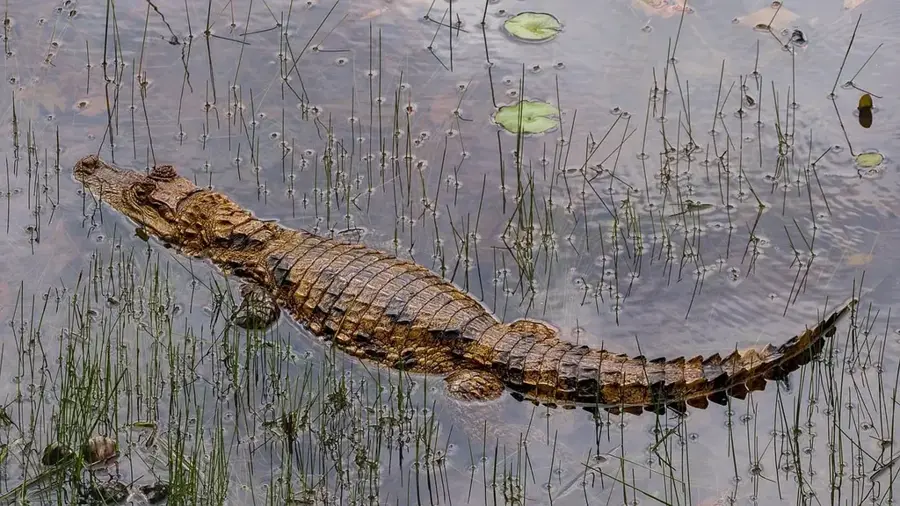
Take a silent canoe trip to observe giant otters and other wildlife.
Water temperature…
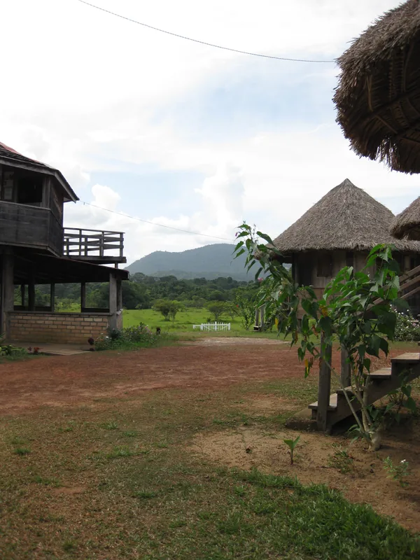
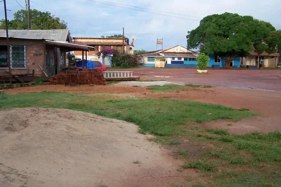
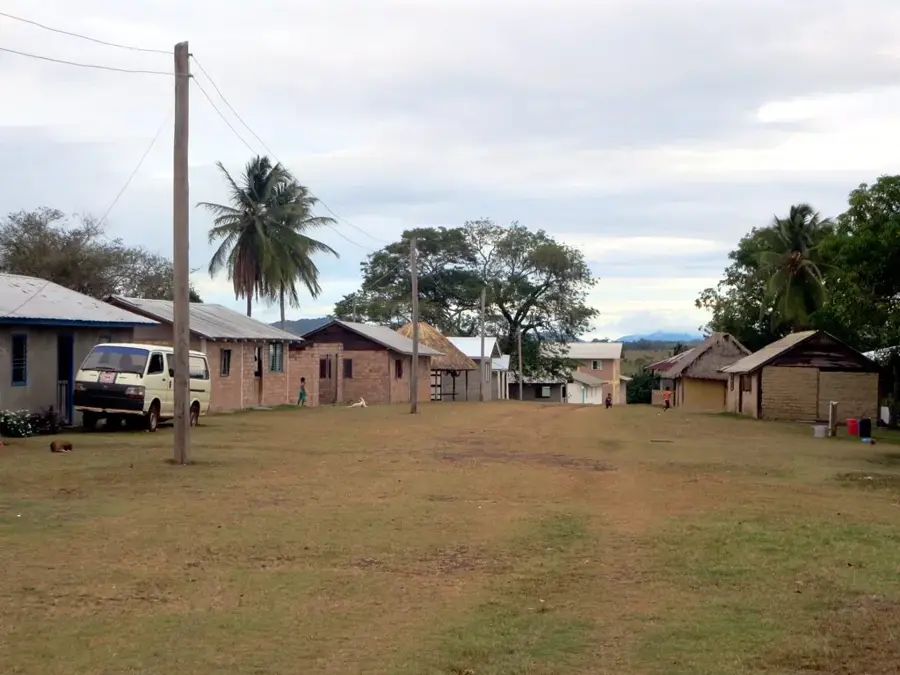
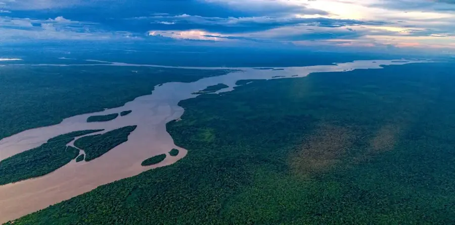
Surama is an award-winning indigenous village in the North Rupununi region of Guyana, internationally recognized as a pioneer in community-led ecotourism. Set in a five-square-mile savannah valley surrounded by the Pakaraima Mountains and dense tropical rainforest, it provides a memorable natural backdrop. The residents, mostly of the Macushi tribe, have created a sustainable development model that balances biodiversity conservation with community welfare. Travelers to Surama can experience authentic indigenous culture, trek the Surama Mountain trails, or navigate the Burro-Burro River to spot giant otters and elusive jaguars. The village operates as a collective, ensuring that tourism revenue directly funds local social services such as primary schooling and healthcare. Beyond tourism, Surama serves as a vital research site for biologists studying the complex transition zones between savannah and forest ecosystems. The village layout and architecture reflect a harmonious blend of traditional building techniques and modern functionality.
Explore on the map
How well do you know Guyana?
Find cities, landscapes and regions in 10 varied challenges on the interactive map.
Your journey, your memory
A postcard from Surama
Turn your own photo into a personal postcard with a local stamp. Free and no sign-up required.
Create a postcard- Location: Guyana
- Nearby: Annai (22 km)
Best time to visit & climate
The most pleasant time to visit is Jan, Feb, Sep.
| Jan | Feb | Mar | Apr | May | Jun | Jul | Aug | Sep | Oct | Nov | Dec | |
|---|---|---|---|---|---|---|---|---|---|---|---|---|
| Avg °C | 27 | 28 | 28 | 28 | 26 | 25 | 25 | 26 | 27 | 28 | 28 | 27 |
| Rain mm | 62 | 59 | 52 | 111 | 248 | 255 | 229 | 164 | 72 | 58 | 59 | 83 |
Geography
Facts
- Pioneer of community-based ecotourism in Guyana
- Located in Region 9 (Upper Takutu-Upper Essequibo)
- Home to the Macushi indigenous community
- Situated along the banks of the Burro-Burro River
- Manages its own 12-square-mile conservation area
- Recipient of multiple international excellence awards in tourism
Explore nearby
Notable places around
Route planner — Car & Motorhome
Where do you start? We build the route here, with stops and country notes along the way.
© OpenStreetMap contributors · OpenRouteService
Sights in the town Surama (1)
Frequently asked questions
What makes Surama special?
Do I need to book a guide?
Can you see harpy eagles?
How can one stay overnight in Surama?
How difficult are the hikes?
Surama: where is it located?
Surama: when is the best time to visit?
Surama: why is it worth visiting?
Nearby cities

History & landmarks
Nature
More places