Plizio Visual Lab
Mount Kopinang

Weather…
Water temperature…
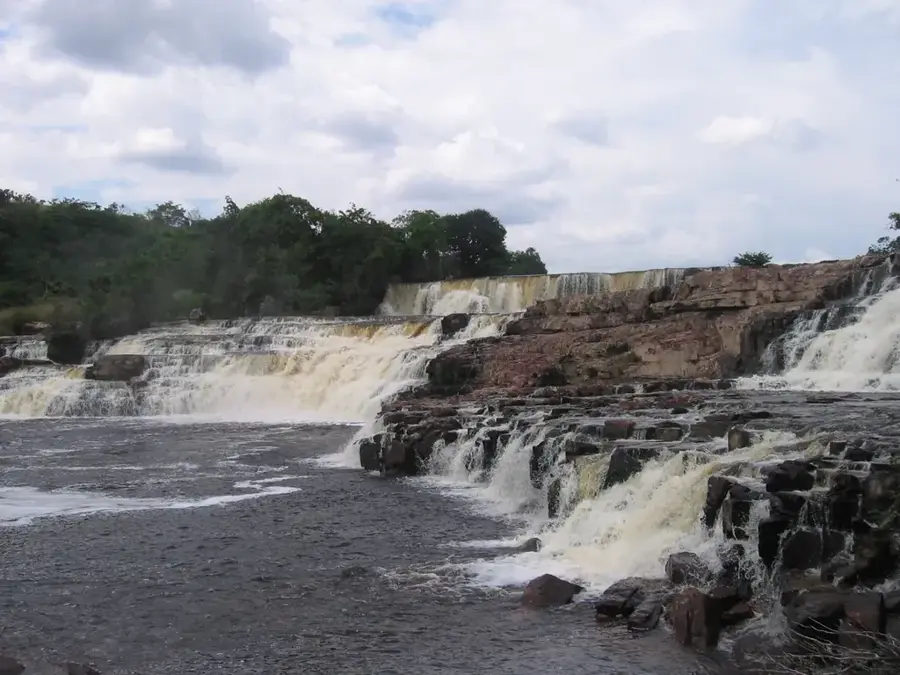
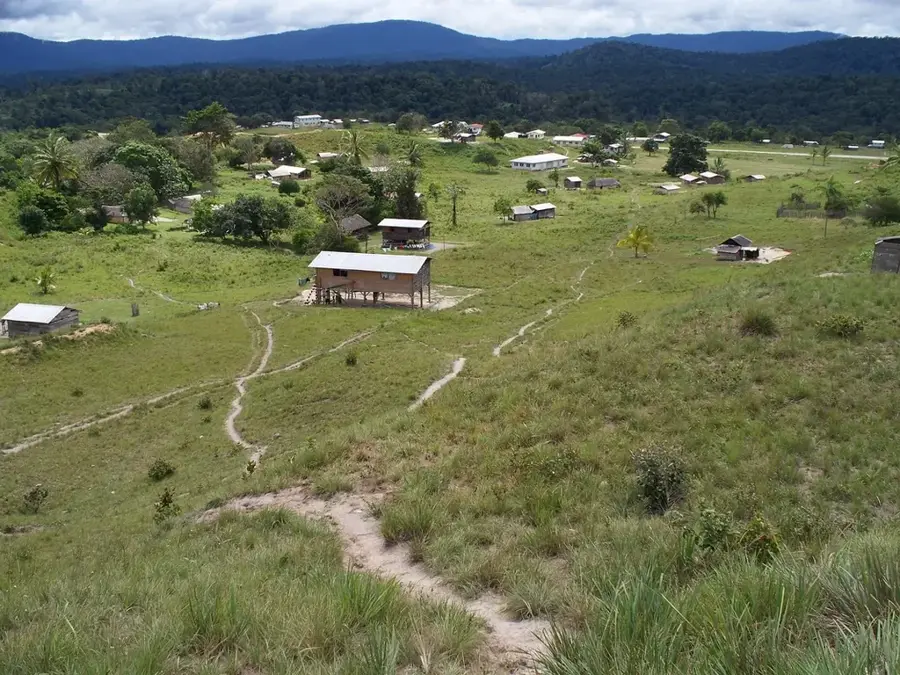
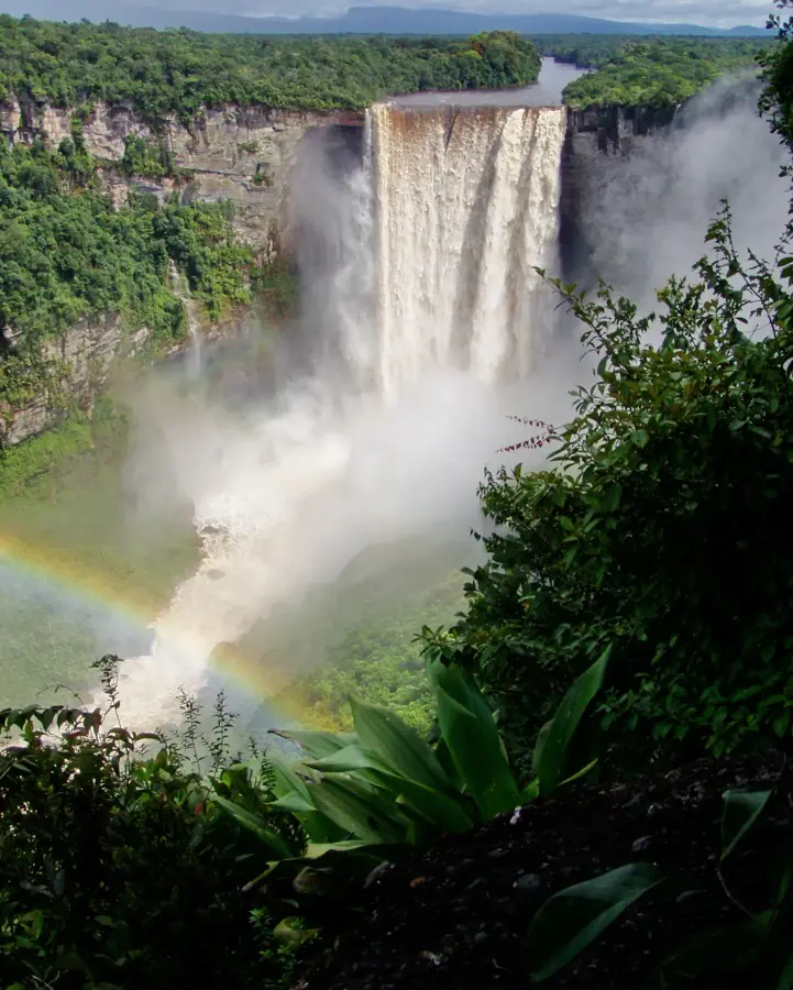
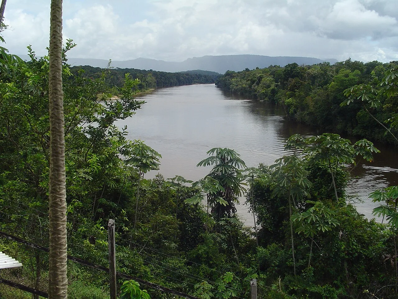
Mount Kopinang is a prominent table mountain in the Pakaraima Mountains of central Guyana, reaching an elevation of approximately 1,594 meters. Part of the ancient geological Guiana Shield, it is characterized by its sheer cliffs and a flat summit plateau that is frequently shrouded in clouds. This isolation has led to the evolution of unique flora and fauna, featuring numerous endemic species found only on this mountain or in its immediate vicinity. Located in the Potaro-Siparuni region, the mountain is known for its challenging climatic conditions and exceptionally high rainfall. At its base lies the Kopinang settlement, home primarily to the indigenous Patamona people, for whom the mountain holds significant spiritual importance. The surrounding region is comprised of untouched rainforest and numerous waterfalls that form the headwaters for several tributaries of the Potaro River. Due to its extreme remoteness, Mount Kopinang remains relatively under-explored by the scientific community. Expeditions to the summit are rare and require extensive logistics and collaboration with local guides.
- Location: Guyana
- Nearby: Kato (20 km)
Best time to visit & climate
The most pleasant time to visit is Jan–Mar.
| Jan | Feb | Mar | Apr | May | Jun | Jul | Aug | Sep | Oct | Nov | Dec | |
|---|---|---|---|---|---|---|---|---|---|---|---|---|
| Avg °C | 22 | 22 | 23 | 23 | 22 | 21 | 21 | 22 | 23 | 23 | 23 | 23 |
| Rain mm | 85 | 62 | 52 | 122 | 253 | 286 | 237 | 192 | 90 | 69 | 87 | 93 |
📋 Practical info
Geography
Facts
- The mountain reaches an official peak elevation of 1,594 meters.
- It belongs to the ancient geological formation known as the Guiana Shield.
- The summit plateau is home to carnivorous Heliamphora pitcher plants.
- The nearby Kopinang village is accessible only by light aircraft.
- The indigenous Patamona people regard the mountain as a sacred site.
- It is located within the Potaro-Siparuni Administrative Region (Region 8).
Explore nearby
Notable places around
Route planner — Car & Motorhome
Where do you start? We build the route here, with stops and country notes along the way.
© OpenStreetMap contributors · OpenRouteService
Sights nearby
Frequently asked questions
How high is Mount Kopinang?
In which mountain range is it located?
Are there villages nearby?
What characterizes the summit?
Is hiking possible there?
Mount Kopinang: where is it located?
Mount Kopinang: when is the best time to visit?
Mount Kopinang: why is it worth visiting?

Nearby cities
History & landmarks
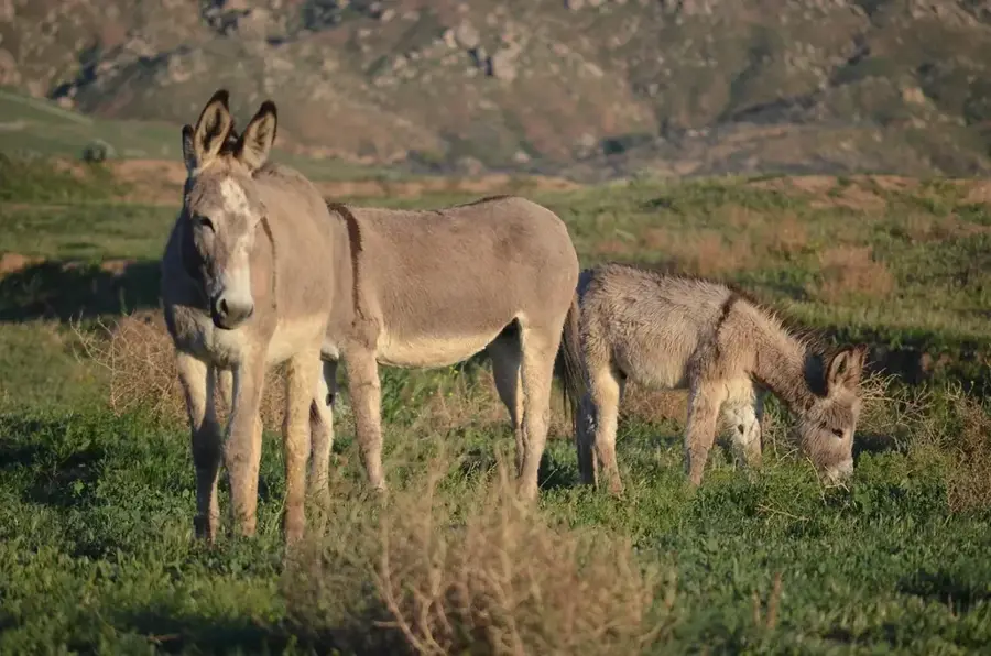
Nature
More places