Plizio Visual Lab
Mahaica River

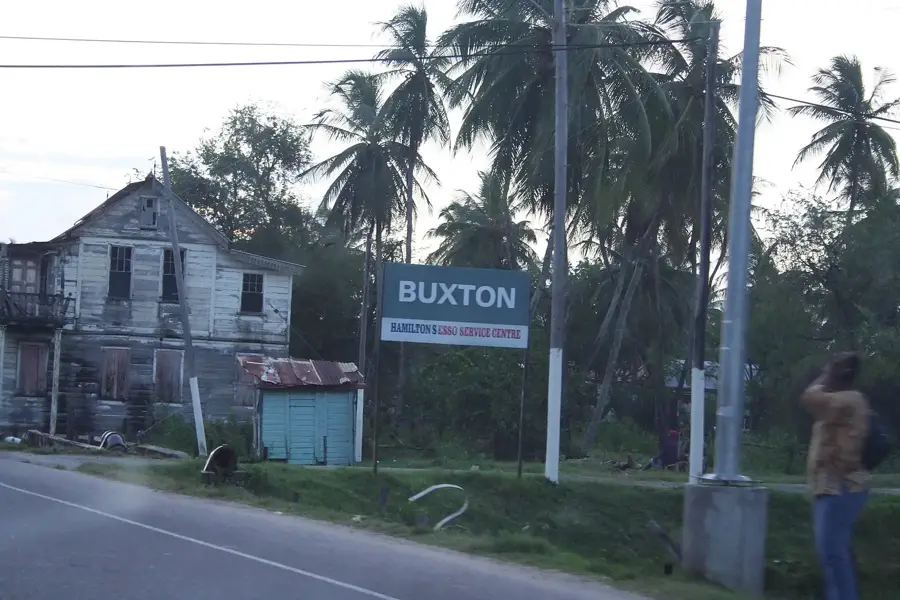
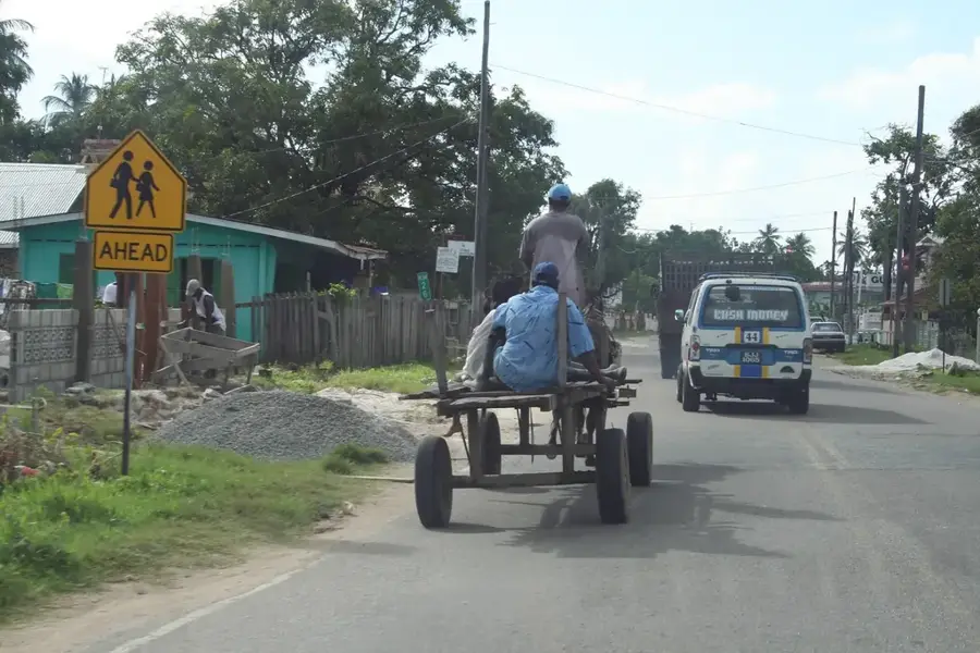
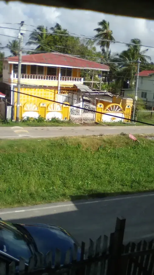
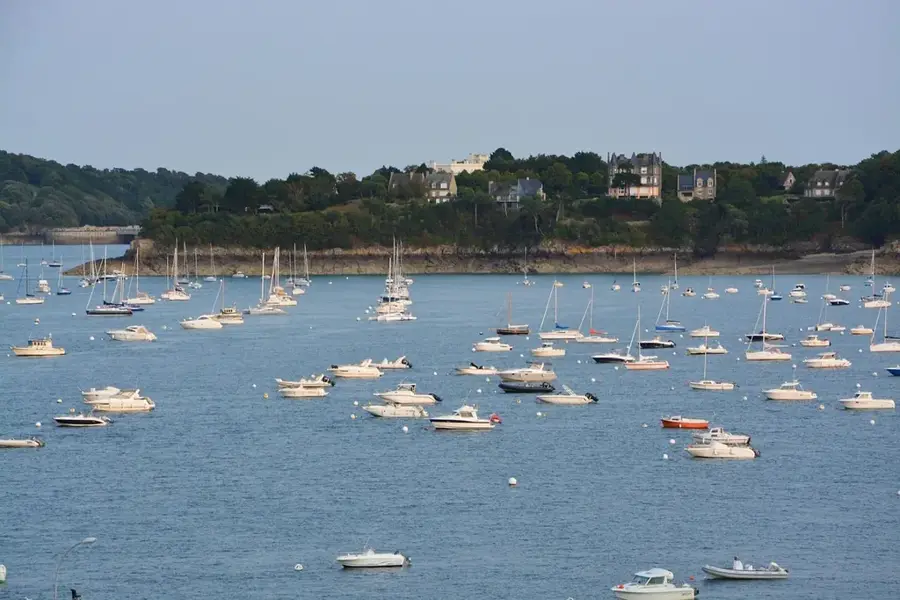
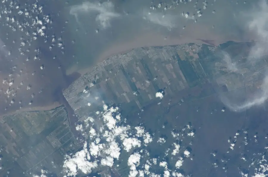
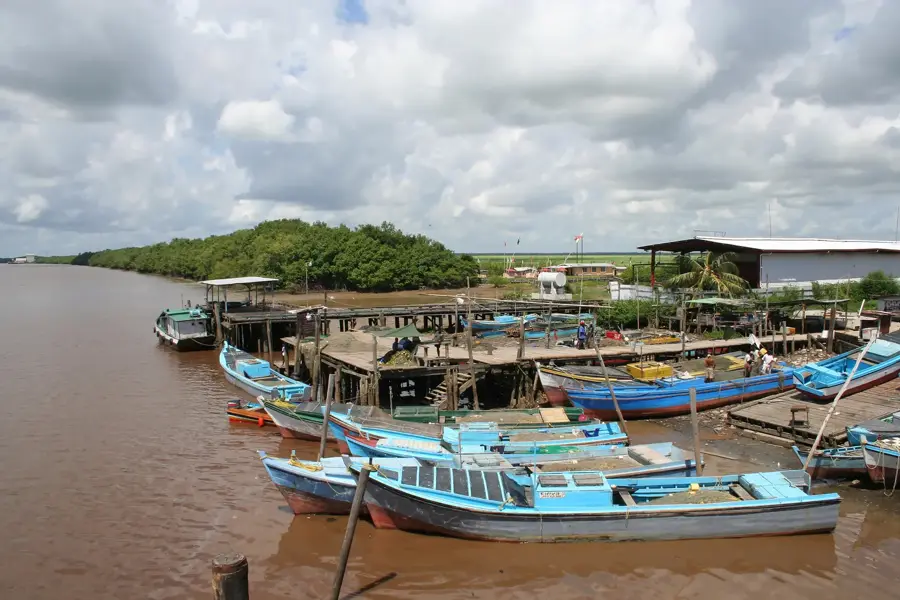
The Mahaica River is a significant waterway in northern Guyana, flowing approximately 160 kilometers before emptying into the Atlantic Ocean east of Georgetown. It serves as a vital ecological corridor, particularly famous for being the premier location to observe the Hoatzin, Guyana's national bird, which thrives in the riverine vegetation. The lower reaches of the river are characterized by extensive mangrove forests and agricultural lands where rice and sugarcane are cultivated, supporting the local economy. In addition to its biodiversity, the river provides essential water resources for irrigation and transportation for the surrounding rural communities. Conservation efforts in the area focus on protecting the nesting sites of various avian species and maintaining the integrity of the coastal ecosystem against rising sea levels. The river's estuary is a complex environment where freshwater and saltwater mix, creating a rich nursery for fish and other aquatic organisms. Historically, the Mahaica region has been a center for settlement and colonial-era plantations, reflecting the country's complex social and economic history. Today, it remains a focal point for eco-tourism and environmental research in the region.
- Location: Guyana
- Top sights: Kingdom Hall · Jesus is the Answer · St. Paul Roman Catholic Church
- Nearby: Haslington (4 km)
Best time to visit & climate
The most pleasant time to visit is Mar, Sep, Oct.
| Jan | Feb | Mar | Apr | May | Jun | Jul | Aug | Sep | Oct | Nov | Dec | |
|---|---|---|---|---|---|---|---|---|---|---|---|---|
| Avg °C | 26 | 26 | 27 | 27 | 26 | 26 | 26 | 27 | 27 | 28 | 27 | 26 |
| Rain mm | 165 | 117 | 98 | 142 | 295 | 265 | 261 | 173 | 88 | 87 | 145 | 217 |
📋 Practical info
Geography
Facts
- The river flows for a total length of approximately 160 kilometers.
- It is the primary habitat for the Hoatzin, Guyana's national bird.
- Significant rice and sugarcane cultivation occurs along its banks.
- The estuary serves as a critical nursery for various marine fish species.
- The river mouth is located about 25 kilometers east of Georgetown.
- Over 150 bird species have been documented in the riverine ecosystem.
Explore nearby
Notable places around
Route planner — Car & Motorhome
Where do you start? We build the route here, with stops and country notes along the way.
© OpenStreetMap contributors · OpenRouteService
Sights in the town Mahaica River (4)
St. Paul Roman Catholic Church
Roman Catholic church located close to the Mahaica River.
Sights nearby
Frequently asked questions
What can you observe on the Mahaica River?
How far is it from Georgetown?
Are boat tours offered?
Are there crocodiles there?
What vegetation predominates?
Mahaica River: where is it located?
Mahaica River: what is there to see?
Mahaica River: when is the best time to visit?
Mahaica River: why is it worth visiting?

Nearby cities
History & landmarks
More places